
Weather Routing Inc.
@WeatherRouting
Weather Routing provides customized forecasts and routing guidance for marine clients worldwide.
You might like


Set sail with confidence! WRI's prepaid forecast packages offer discounted rates and flexibility as they never expire- you can roll over what's left to use for future trips. Contact WRI for pricing and more info!

The last day of FLIBS is today from 10am-5pm. Meteorologists Alex Avalos and Cara Czech will be at both Oasis Lounge locations, Bahia Mar and Superyacht Village. Complimentary lunch and drinks are served for captain and crew here!

Day 1 of FLIBS is off to a rainy start! If you find yourself at the show, WRI meteorologists Alex Avalos and Cara Czech are at the Oasis Lounge and would love to have you stop by!

The Fort Lauderdale Boat Show is just around the corner starting on Oct 29! You can find Meteorologists Alex Avalos and Cara Czech at both Oasis Lounge locations. Reach out to WRI for any questions and forecasting assistance, see you there!


Will you be in Fort Lauderdale later this month? Meteorologists Alex Avalos and Cara Czech will be attending FLIBS Oct 29th-Nov 02nd! You can find us at the Oasis Lounge in the Superyacht Village and at Bahia Mar near the Swimming Hall of Fame. We'd love to see you there!

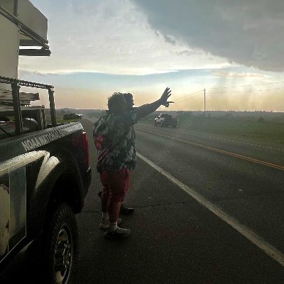
As Hurricane Humberto and Potential Tropical Cyclone 9 continue to track towards the SE'rn US, there currently remains large uncertainty with respect to the tracks and strength, particularly with 9's track once it reaches offshore South Carolina. Contact WRI for the latest!

The tropics are heating up quickly as the E'rn US faces a dual threat from two tropical systems! Are you looking to head down the East Coast in the near future? Contact WRI for information on the next long range window!

The Annapolis Boat Show is coming up! Be sure to stop by our booth, Tent K, Booth 14 where you can meet Director Jeremy Davis, and Operations Manager Brian Whitley who will be happy to discuss our services with you. The show will run from October 09-12. We hope to see you there!

While not expected to impact any mainland areas, Tropical Storm Gabrielle's extra-tropical remnants could potentially threaten the Azores in the latter half of this week. Vessels in the Azores or heading Westbound across the N'rn Atlantic should continue to monitor this threat!

The latest threat to Trans-ATL crossings is currently developing Tropical Disturbance 24, and the NHC has increased its potential for development over the last few days. This system is currently becoming a better organized batch of showers/squalls. Contact WRI for the latest!


Are you attending this year's Newport International Boat Show? Say hello to Senior Meteorologists Kyle Petroziello and Jared Young!They're located in the same booth again this year at Corner Booth #41, Tent A, and are happy to discuss all the great services WRI has to offer!

Tropical Low 16 is tracking W'ward in the Atlantic basin, and further development remains possible as the system looks to approach to Windward Islands near the middle part of next week. Those with interests across the E-NE'rn Caribbean should continue to monitor this closely.

WRI has recently designated a new Tropical Wave offshore W'rn Africa as Tropical Disturbance 23, which is currently a disorganized batch of thunderstorms. Tropical Disturbance 23 will be the next focus for vessels making Trans-Atlantic passages in the near future!

WRI has issued severe weather alerts for large portions of the N'rn Mediterranean Sea and S'rn Europe, as a series of cold fronts have brought persistent squall activity to the region. Contact WRI for the latest on severe weather in the Mediterranean region!

While the rest of the Mediterranean Sea benefits from a great late-season weather window, that is not so much the case in Greece. Persistent Etesian Troughing continues to generate strong conditions across the Cyclades and Aegean Sea. Contact WRI for routing assistance in Greece!

While having weakened over the past few days, Erin remains a powerful hurricane in the W'rn Atlantic. Erin will make its closest point of approach to Cape Hatteras, NC within the next 24hrs, and Tropical Storm Warnings remain in effect for much of the Outer Banks.

Erin remains a powerful hurricane over the N'rn Atlantic, and its residual conditions will be affecting the US East coast throughout the week. Tropical Storm Watches have already been issued for Cape Hatteras and the Outer Banks. Contact WRI for the latest tropical concerns!


United States Trends
- 1. Northern Lights 39.6K posts
- 2. #Aurora 8,219 posts
- 3. #DWTS 51.2K posts
- 4. Justin Edwards 2,209 posts
- 5. Louisville 17.6K posts
- 6. #RHOSLC 6,605 posts
- 7. Sabonis 5,986 posts
- 8. Creighton 2,125 posts
- 9. #OlandriaxHarpersBazaar 5,087 posts
- 10. Lowe 12.6K posts
- 11. Gonzaga 2,814 posts
- 12. #GoAvsGo 1,516 posts
- 13. Andy 60.6K posts
- 14. Eubanks N/A
- 15. JT Toppin N/A
- 16. H-1B 30.3K posts
- 17. Oweh 2,082 posts
- 18. Elaine 36.5K posts
- 19. Jamal Murray N/A
- 20. Kentucky 25.3K posts


Something went wrong.
Something went wrong.