
ATI
@AerialTechUAS
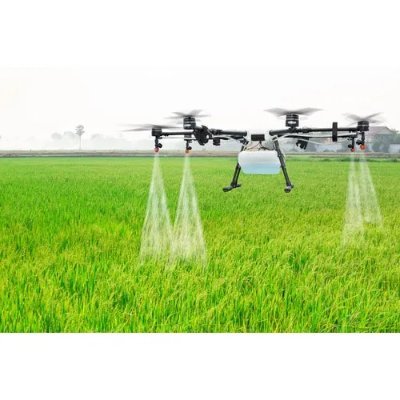
ATI manufactures professional #drones for agriculture, mapping, SAR, filming & more. #AgBot
You might like


Watch our case study on wind turbine inspections with the @PhaseOnePhoto iXU aerial camera system & octocopter youtu.be/ttX-AphVJg4
youtube.com
YouTube
Inspections of wind turbines using medium format digital imagery |...
Phase One Industrial and ATI Set to Revolutionize Aerial Inspection of Critical Infrastructure finance.yahoo.com/news/phase-one… via @YahooFinance
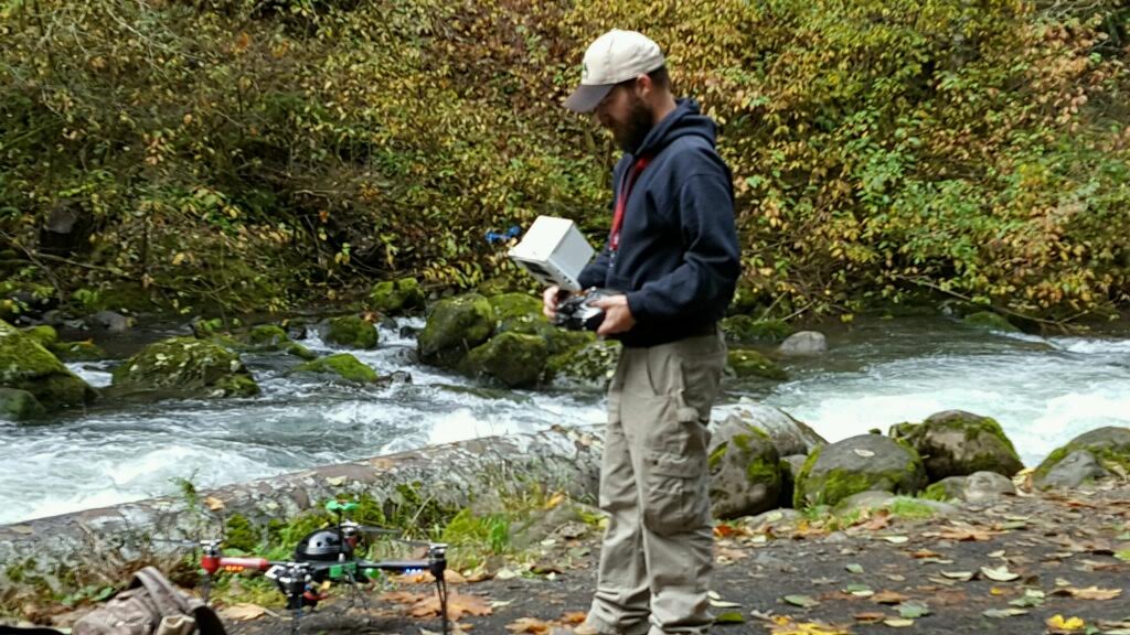
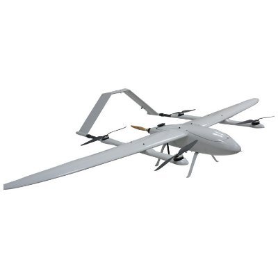
The #AgBot #drone by @AerialTechUAS made our list of #drones with the range & endurance for #BeyondLineOfSight #uas ow.ly/5Ec63085CZR
Our first order of Pixhawk 2 autopilots is selling fast. Kept one for ourselves for testing and… instagram.com/p/BOX0iStDqI1/
Merging drones with VR? Learn more this Sat. in PDX at KALEIDOSCOPE, use promo code: FriendOfPanogs for 50% off tix eventbrite.com/e/kaleidoscope…

Regram from @asailboat he is killing it! Give his profile a follow. Travis is truly a talented… instagram.com/p/BM7mpcWjJl6/

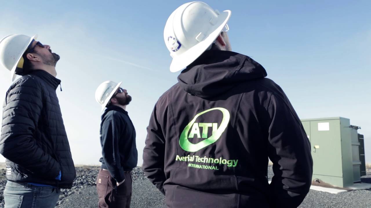
Many thanks to our friends @AerialTechUAS. They are amazing and have been a Hugh help to SAR and our drone team. aerialtechnology.com
It was our pleasure to assist @MountainWaveSAR in search & rescue operations this week.
Many thanks to Lawrence and the crew of @AerialTechUAS for all the help they have provided to our drone team and SAR!

Bring on the fall colors and the hoodie weather. . . . . . #aerialtechnology #drones #fall… instagram.com/p/BL9l728je8Y/
👇Tap for sound and wait for it... . . . . . #AerialTechnology #ThorX8 #drones #octopcopter #dji… instagram.com/p/BL2CY4KDZ0D/

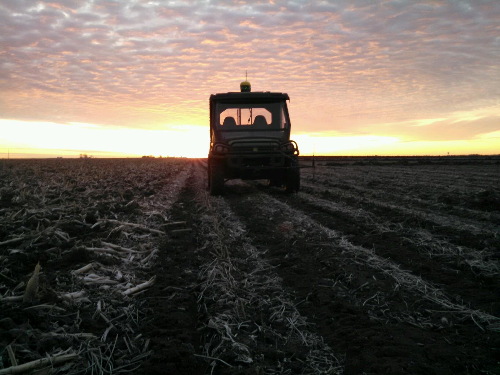
A practical study on using #NDVI to aid (not replace) scouting, complete w/live #ATLASdata @AerialTechUAS #harvest16 bit.ly/2ebMOHk

Our services team, Attain Aerial, just wrapped up shooting up on Mt. Hood filming with the Arri… instagram.com/p/BLPN4gMjdqm/
We are going to be revamping our website over the coming weeks and showcasing some of the… instagram.com/p/BLMknmADQQX/
instagram.com
Aerial Technology Int'l (ATI) (@atidrones) • Instagram photo
Aerial Technology Int'l (ATI) (@atidrones) • Instagram photo
We participated in Northwest SARCon this weekend, hosted by the Clackamas County Sheriff's Dept.… instagram.com/p/BK1eixDDZu2/
As we wrap up shooting on our #360RoadTrip project, we just wanted to say thanks to our… instagram.com/p/BKtiseYj4G9/
#360 RoadTrip Day 6 with panographers . Tiny planet shot of the Margaret Hunt Hill Bridge. Shot… instagram.com/p/BKozIrEjCJw/
One last tiny planet shot for today.... . . . . #octocopter #artofvisuals #igmasters… instagram.com/p/BKmc2OrDUyZ/
The Reunion Tower captured by 7 GoPro Hero 4 Blacks, and the ATI XM-8 octocopter. #octocopter… instagram.com/p/BKmGOL8DuP7/
#360RoadTrip Day 5. This picture is pulled from a fully interactive 360° video you can check out… instagram.com/p/BKl0kZpj8d5/
Fully interactive aerial #360photo we captured Of The Reunion Tower in Dallas, Te #theta360 theta360.com/s/euPoRWD1ksRj…


United States Trends
- 1. Araujo 177K posts
- 2. Chelsea 612K posts
- 3. Barca 246K posts
- 4. Estevao 244K posts
- 5. Barcelona 440K posts
- 6. Ferran 75.8K posts
- 7. Yamal 188K posts
- 8. Oklahoma State 4,449 posts
- 9. Eric Morris 2,949 posts
- 10. Cucurella 95.4K posts
- 11. Flick 46.8K posts
- 12. Godzilla 24.9K posts
- 13. Rashford 24.1K posts
- 14. Kounde 48.1K posts
- 15. Pedri 52K posts
- 16. Enzo 66.3K posts
- 17. Skippy 4,369 posts
- 18. #CHEBAR 16.6K posts
- 19. Raising Arizona 1,720 posts
- 20. Happy Thanksgiving 24.8K posts
You might like


Something went wrong.
Something went wrong.