Dit vind je misschien leuk


Some survey sites you can’t hike or motor into—so you paddle. Hydrographic Survey Technician Matt puts in work (& strokes) during field operations in Ontario, Canada. When pipelines run through remote or shallow waterways, our crews adapt to get the job done safely and accurately


Happy May Day from DoC Mapping. 🌷 Don’t forget to contact DoC Mapping to locate your underwater utilities and pipelines while the weather’s on your side. Clear conditions mean faster mobilization, safer operations, and better data. Let’s get you covered before summer hits!

Scour can silently weaken foundations by washing away the ground beneath them. A proper scour assessment spots the risk early—before damage happens. It’s a key part of keeping infrastructure safe and resilient. #4DView #ScourAssessment

Hydrographic survey along the Mazon River presented unique challenges due to heavy tree coverage and limited access points. Field technicians relied on their kayaking skills to navigate the narrow, winding sections of the river and collect high-resolution bathymetric data.


High-res LiDAR point cloud data collected to create a Digital Elevation Model (DEM) of riverbank topography & to inventory nearshore infrastructure. This dataset enables precise analysis of elevation changes, erosion patterns, & structural positioning along the water’s edge.


Ben Holden and Seth Stansbury are excited to be attending the The Hydrographic Society of America - Southeast Chapter Crawfish Boil — always a great time to catch up with industry friends, share stories from the field, and connect with fellow hydrography pros. See you there! 🌊📍

Scour assessment is critical for protecting bridges and other structures in rivers or coastal areas. It helps identify how flowing water erodes the sea- or riverbed, preventing failures before they happen. Regular inspections = stronger infrastructure and safer communities.

The Volga River is located in Northeast Iowa and stretches about 80 miles before joining the Turkey River. The Volga River is popular for kayaking, canoeing, and fishing. It offers scenic paddling routes, especially in the Volga River State Recreation Area. #SurveySites #Rivers

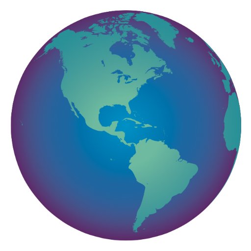
🌎 Happy #EarthDay2025 from DoC Mapping! 🌱 Our hydrographic survey crews use advanced technology like magnetic field sensors and GNSS to ensure that every inch of pipeline is mapped with care and precision. Protecting what's underground helps protect what’s all around us. 💧🌿

April is #SafeDiggingMonth! Planning a marine or waterfront project? DoC Mapping can locate your underwater utilities using advanced magnetic and GNSS technology. We help prevent damage, reduce risk, and keep your crews safe. Know what’s below—call before you go!

🐣 Happy Easter from DoC Mapping! Don’t let your pipeline search turn into an Easter egg hunt — let us help you locate your underwater utilities with precision. 📧 Reach out to us at [email protected] and hop into accurate results! #HappyEaster #PrecisionMapping


Thanks to Lauren Kipar for processing and interpreting this hydrographic survey image from the Platte River in Missouri. These visuals reveal what’s happening beneath the surface—crucial insight for our clients managing infrastructure below the waterline. #Hydrography

April is #SafeDiggingMonth — Know What’s Below! Before you dig, dredge, or drive piles, make sure your underwater utilities are clearly marked. DoC Mapping provides precise, professional subaqueous utility locating to keep your team safe and your project on track.

Trinity River is the longest river (about 710 miles) in Texas with a watershed entirely within the state. The Trinity River Project in Dallas is one of the largest urban development efforts to turn the river corridor into green space with trails, lakes, and recreational areas.

Navigating vessels through industrial waterways can be extremely challenging. Our professional hydrographic survey technicians are dedicated to safely navigating these areas to collect the best possible data for underwater utility locates. #FieldPhotoFriday #HydroSurvey


United States Trends
- 1. Louisville 75.6K posts
- 2. Virginia 235K posts
- 3. Jets 134K posts
- 4. MD-11 16.9K posts
- 5. Honolulu 7,734 posts
- 6. Abigail Spanberger 19.9K posts
- 7. Jay Jones 27.8K posts
- 8. #OlandriaxGlamourWOTY 2,195 posts
- 9. Azzi 7,125 posts
- 10. UPS Flight 2976 14.5K posts
- 11. #AreYouSure2 42.8K posts
- 12. Jared Isaacman 6,738 posts
- 13. Colts 64.8K posts
- 14. Madrid 435K posts
- 15. Miyares 14.8K posts
- 16. #いい推しの日 830K posts
- 17. #JiminxJungKook 42K posts
- 18. Cheney 288K posts
- 19. Sarah Strong 1,521 posts
- 20. #MACtion 2,442 posts


Something went wrong.
Something went wrong.