
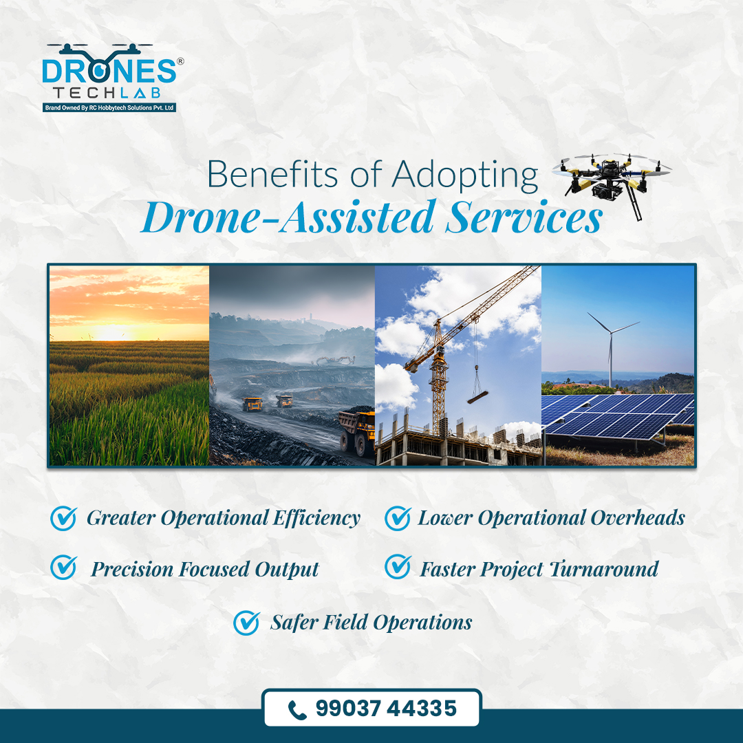
Drone assisted services give organisations a safer vantage point to minimise exposure and strengthen the clarity of every decision. With better perspective comes the power to act proactively and unlock stronger outcomes across every mission. 📲 Contact: 99037 44335
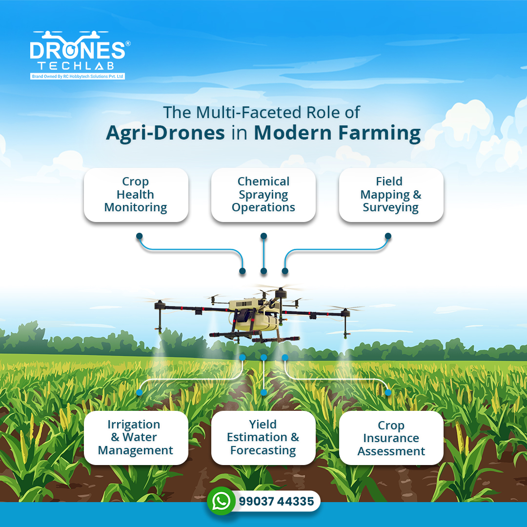
Drones are driving smarter agricultural practices with clearer insights and precise interventions. From early detection to better yield forecasting, they are becoming essential to building stronger and more secure food systems in India. 📲 Contact: 99037 44335 #AgriTech

Conservation efforts face constant challenges across vast terrains and areas with limited ground visibility. Drones bridge this gap by enabling safer operations and faster anti-poaching response when it matters most. 📲 Contact: 99037 44335 #Drone

A quick and easy challenge to test your drone-spotting skills. Look closely at the image, observe the build, and share your list in the comments. Let’s find out who gets it right first! #DronesTechLab #DroneTechnology #MatchTheFollowing

Drones now power a wide spectrum of applications, yet on the battlefield they’ve emerged as decisive force multipliers. With persistent ISR, stand-off engagement and rapid deployment, they’re reshaping how modern military operations are conducted. 📲 99037 44335 #DroneWarfare

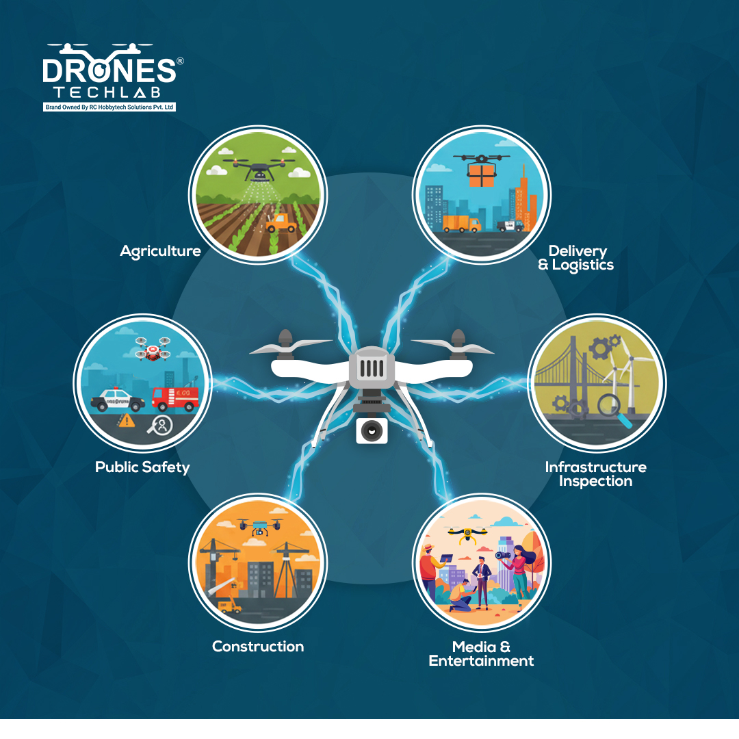
One technology at the centre of it all! Powering a wide spectrum of industrial needs with better insights, real-time visibility, and precision from above. 📲 Contact: 99037 44335 #DronesTechLab #DroneTechnology #DroneServices #DroneSolutions
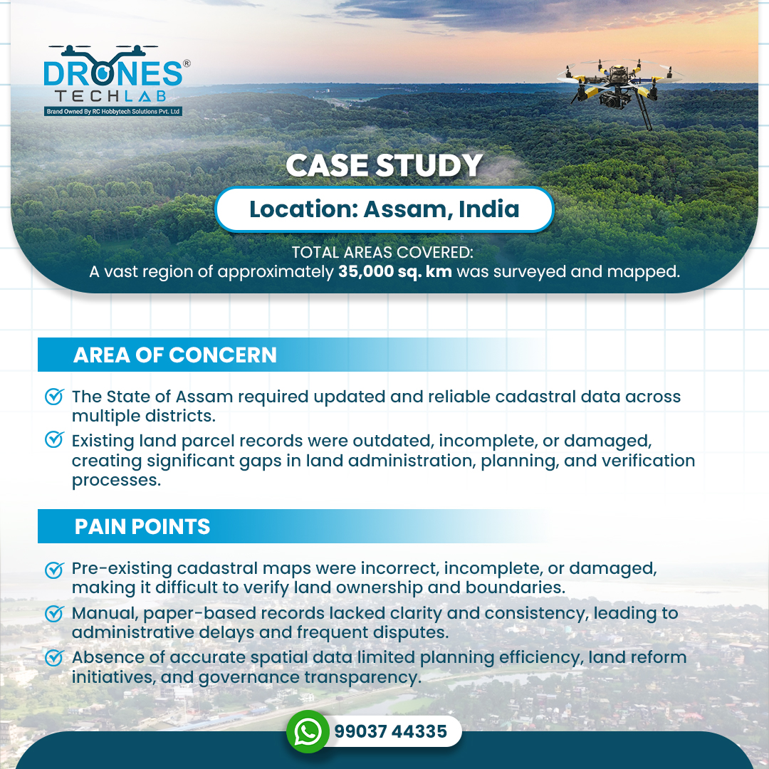
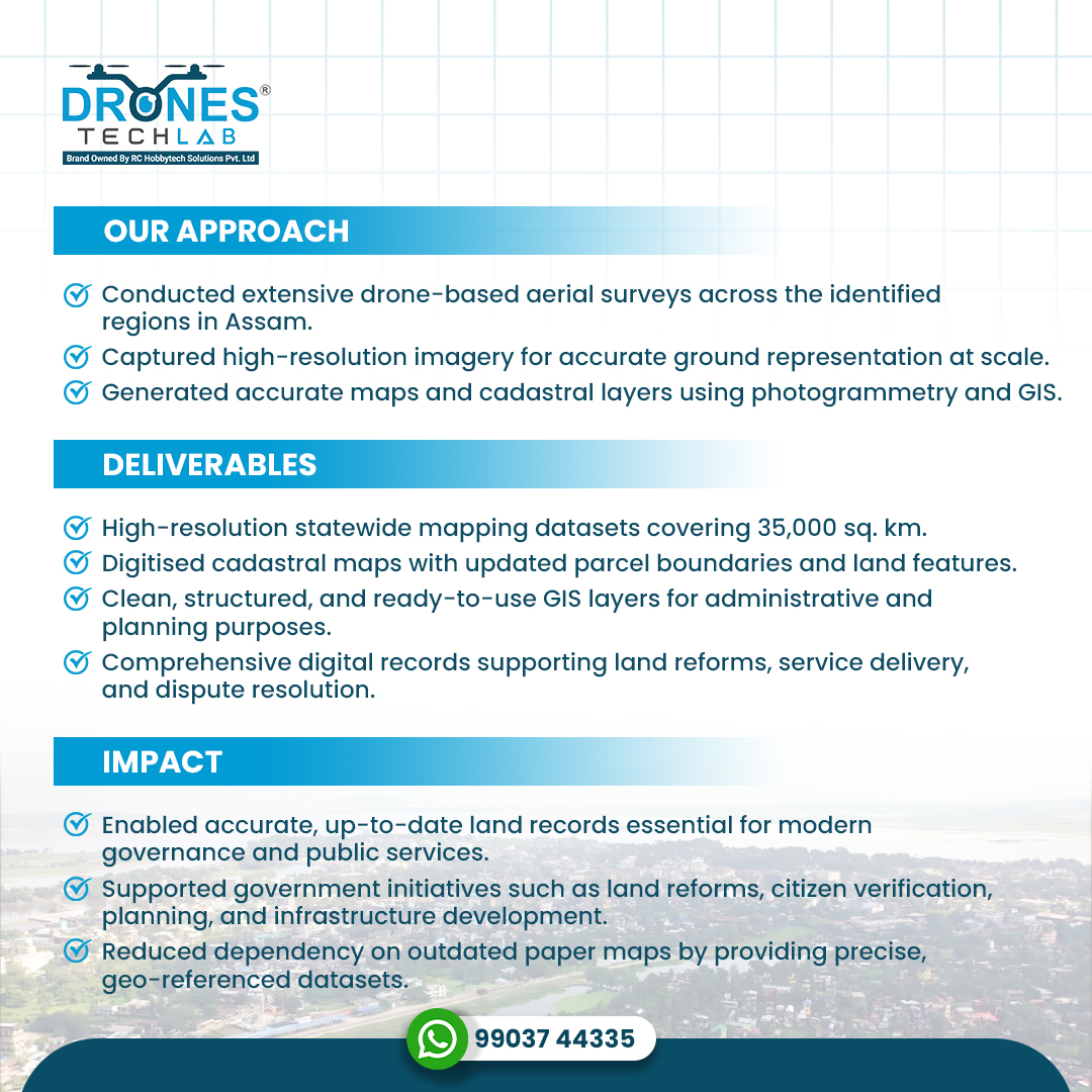
Drone-based mapping across 35,000 sq. km in Assam helped replace outdated cadastral records with accurate, digitised maps. The project delivered reliable, geo-referenced data for better verification, planning and land administration. 📲 Contact: 99037 44335 #DroneApplications
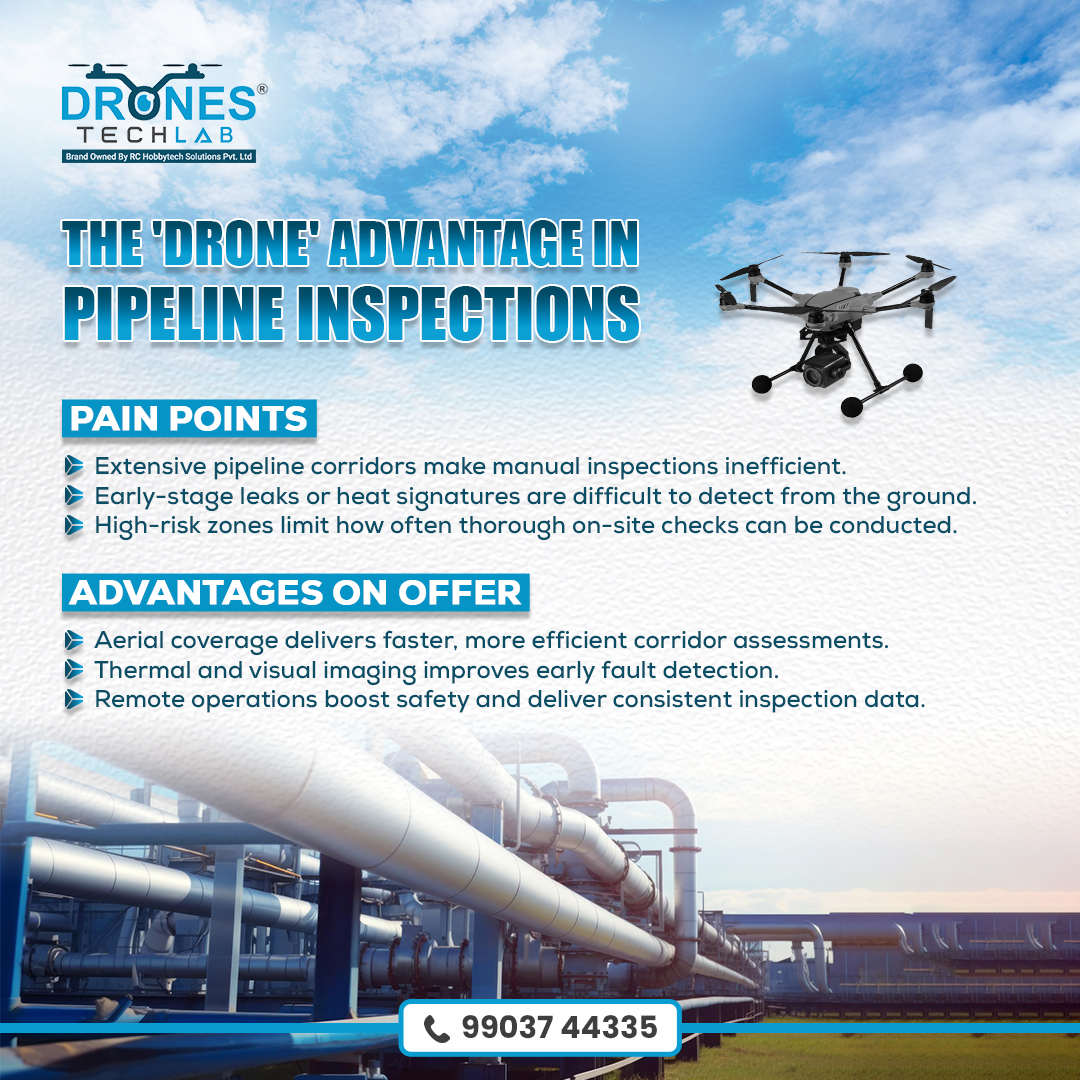
Pipeline integrity is non-negotiable, and drones are transforming how it’s maintained. With faster coverage, sharper detection and safer operations, aerial inspections help identify issues early and keep critical corridors secure. 📲 Contact: 99037 44335 #PipelineInspection
Precision has a new dialect, and drones are the ones speaking it. And in an era driven by data, drone-assisted services give industries a higher vantage point on the truth. One of the reasons why we keep building for impact, not just innovation. 📲 Contact: 99037 44335
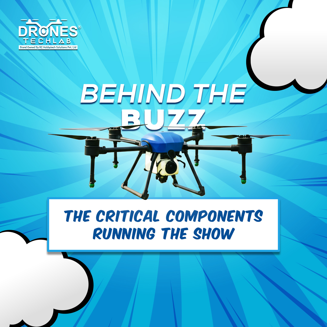
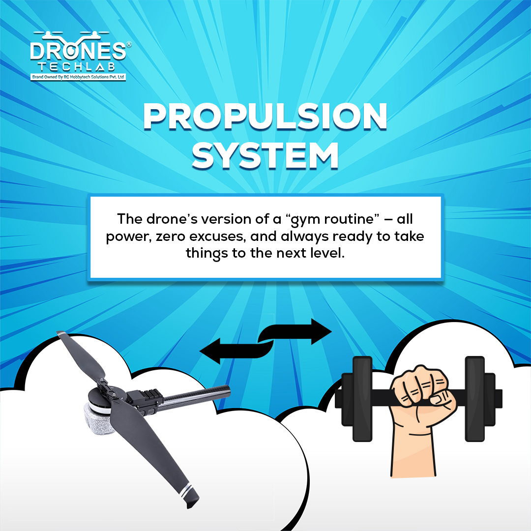
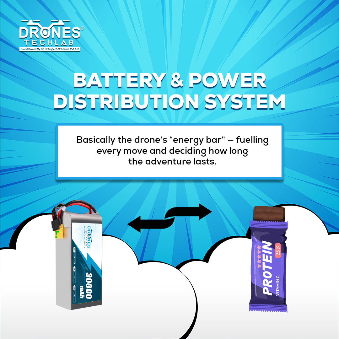
Everyone loves a drone in the sky, but very few care about the components working overtime to stop it from turning into airborne chaos. This series highlights the parts that do the hard work while the spotlight goes elsewhere. 📲 Contact: 99037 44335 #DroneComponents
A quick challenge to test your attention to detail. We have hidden multiple drones across this nightscape, and they are not as obvious as they look. Pause the frame, scan every corner, and drop your count below. Let us find out who has the sharpest observation. #SpotTheDrones
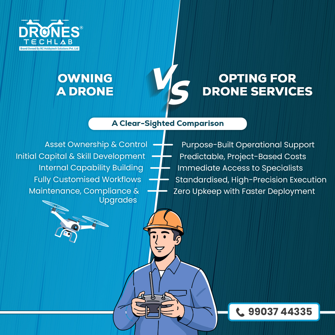
Owning a drone gives you complete control and tailored workflows but also adds responsibilities such as training, maintenance and compliance. On the contrary, drone services provide specialist teams, high-precision output and efficient, ready deployment. 📲 Contact: 99037 44335
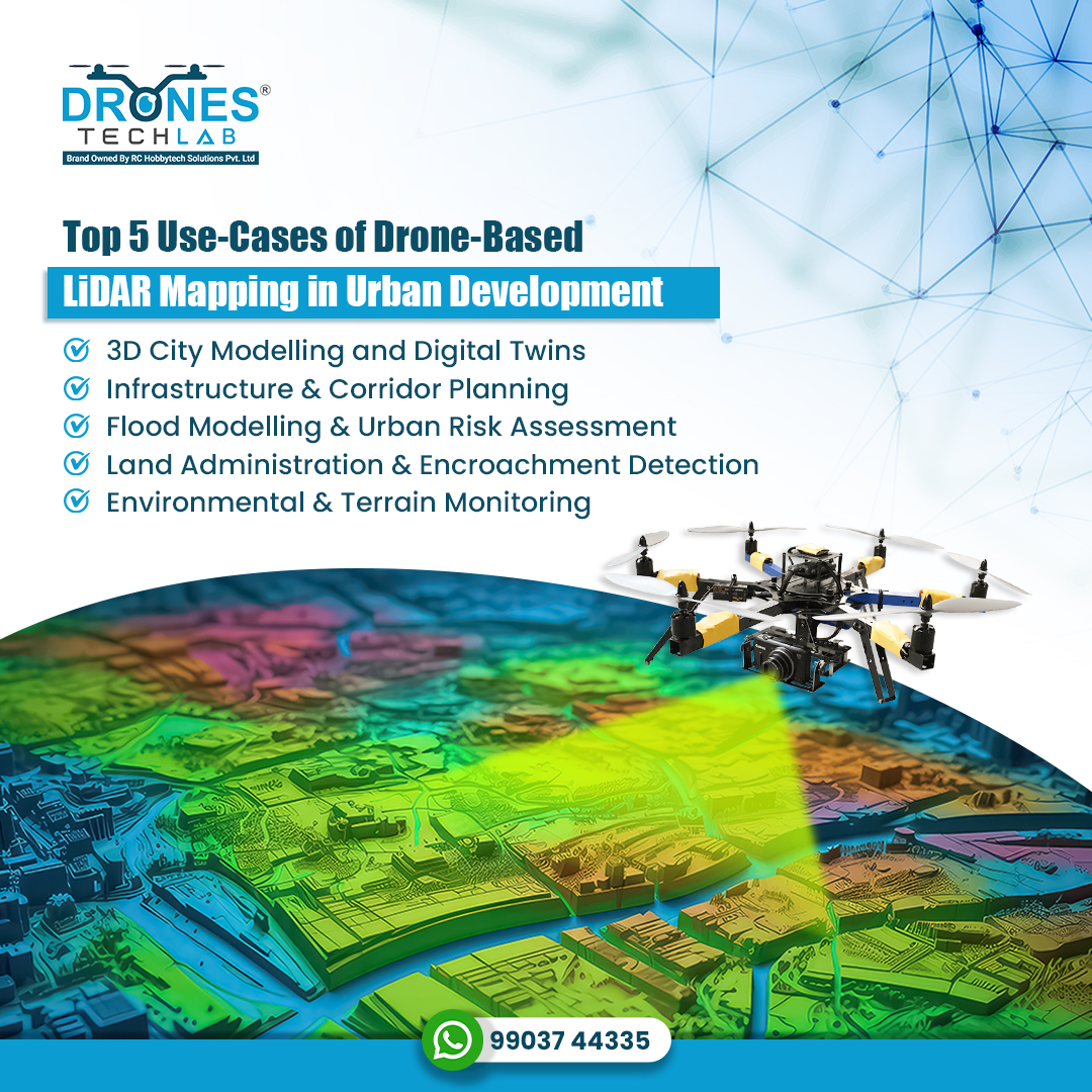
Drone-based LiDAR mapping delivers high-accuracy 3D models, elevation data, and corridor insights that drive data-centric urban development by strengthening infrastructure design, enabling efficient land administration, and supporting advanced risk analysis. 📲 99037 44335
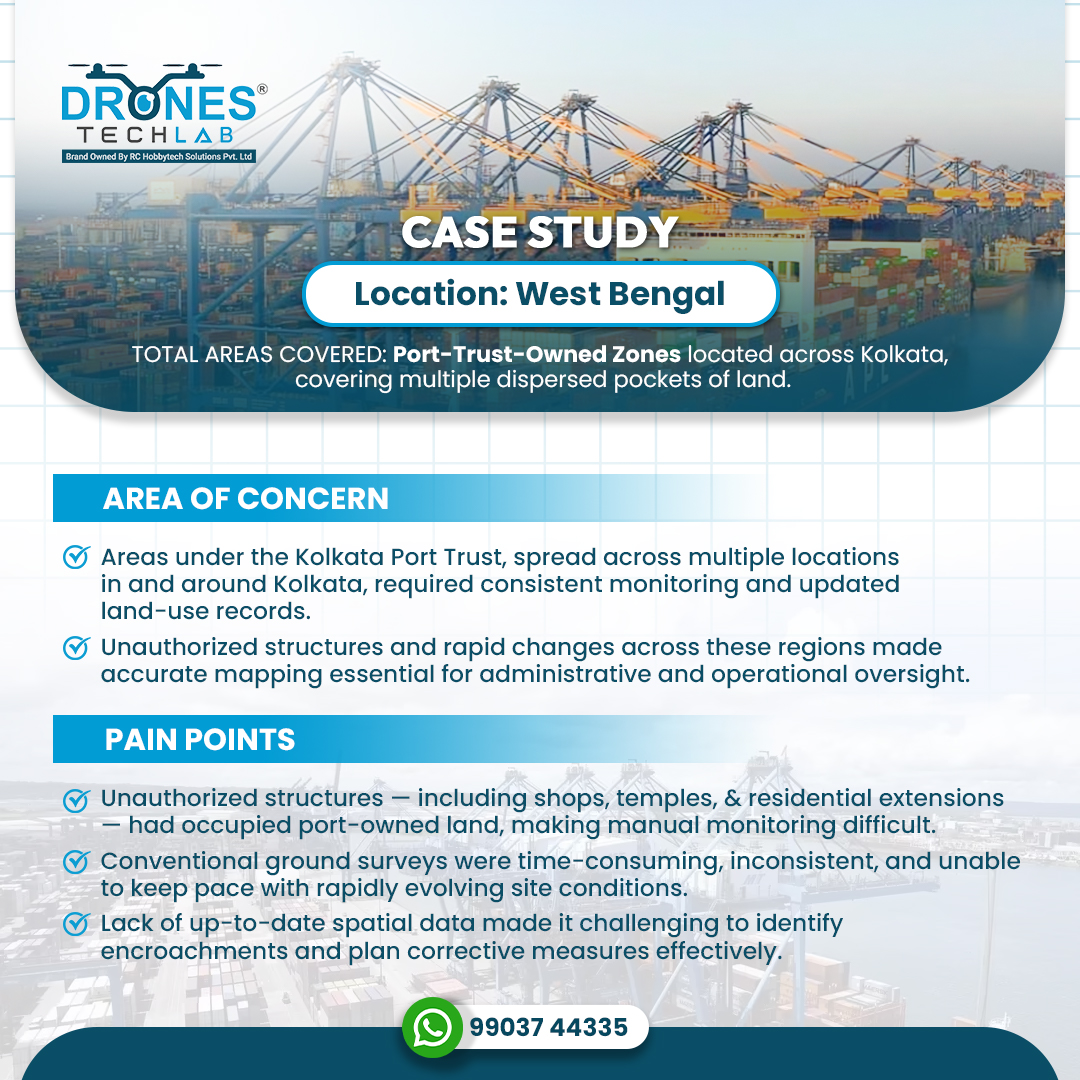
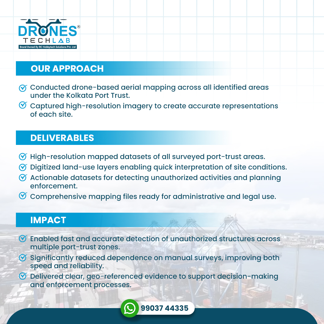
Drone-based mapping across Kolkata Port Trust areas delivered precise, geo-referenced visuals that helped detect encroachments, improve oversight, and support faster, data-backed decisions. A significant step towards more accountable land management! 📲 Contact: 99037 44335
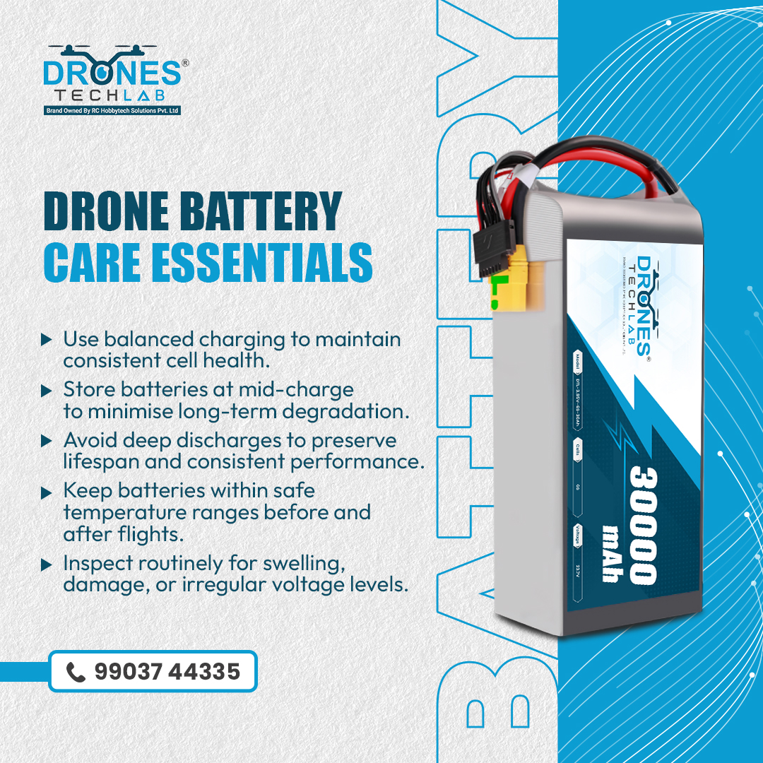
Drone batteries demand proper handling and disciplined maintenance to deliver consistent performance. The way they’re managed impacts reliability and long-term efficiency. Even minor improvements in battery care can deliver measurable gains in every flight. 📲 99037 44335
Precise. Insightful. Sustainable. That's the future of modern farming! 📲 Contact: 99037 44335 Explore Our Agri Drones and Specialised Services at: tinyurl.com/mr72m7z #DronesTechLab #DroneTechnology #DroneApplications #AgriDrones #PrecisionFarming
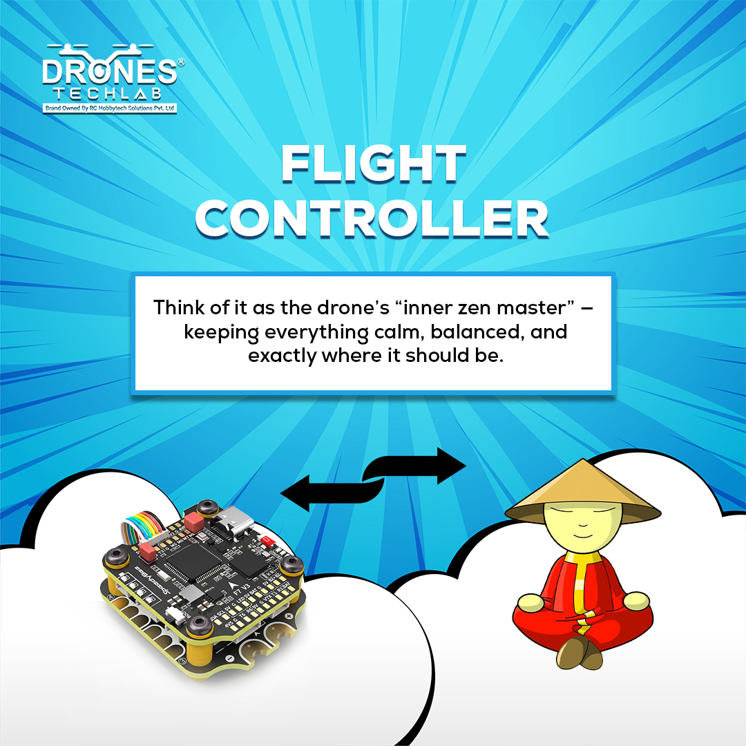
The #FlightController keeps a #UAV steady, responsive, and predictable by processing real-time sensor data and executing each input with intent. It acts as the command centre that brings stability, precision, and safety together in every flight. 📲 Contact: 99037 44335 #Drones

Here is a quick challenge to test your instincts! Four essential drone-related terms have been scrambled — decode them and see how fast you can crack the set. Share your answers in the comments below. #DronesTechLab #DroneTechnology #WordScramble

Unlike traditional surveys, drone-based topographic mapping delivers faster terrain insights, centimetre-level accuracy, and safer ops, helping teams plan and execute projects with greater confidence. 📲 Contact: 99037 44335 #DronesTechLab #TopographicSurvey #DroneApplications


The promise of tomorrow lives in every child’s courage to discover, explore and aspire. Today, we celebrate the spirit that continues to shape India’s future. #ChildrensDay #ChildrensDay2025 #HappyChildrensDay


United States 趨勢
- 1. #AEWDynamite 18.6K posts
- 2. Giannis 76.5K posts
- 3. #Survivor49 2,361 posts
- 4. Claudio 28.3K posts
- 5. #TheChallenge41 1,755 posts
- 6. Jamal Murray 4,709 posts
- 7. #SistasOnBET 1,883 posts
- 8. Kevin Overton N/A
- 9. Ryan Nembhard 2,866 posts
- 10. Will Wade N/A
- 11. Achilles 5,075 posts
- 12. #iubb 1,180 posts
- 13. Bucks 50.5K posts
- 14. Jericho Sims N/A
- 15. Kevin Knight 1,916 posts
- 16. Tyler Herro 1,648 posts
- 17. Dark Order 1,655 posts
- 18. Steve Cropper 4,289 posts
- 19. Yeremi N/A
- 20. Kyle Fletcher 1,455 posts
Something went wrong.
Something went wrong.