
You might like


We can only map Uganda when peace prevails, that is why #iPledgePeace @yaliuganda @hotosm
3days of talks, discussions, workshops, code & documentation sprints all around the free and open map of the world. 2016.stateofthemap.org
Good publication for #OSM Planning an Open Cities Mapping Project #book @hotosm @GFDRR bit.ly/1Kc8icS


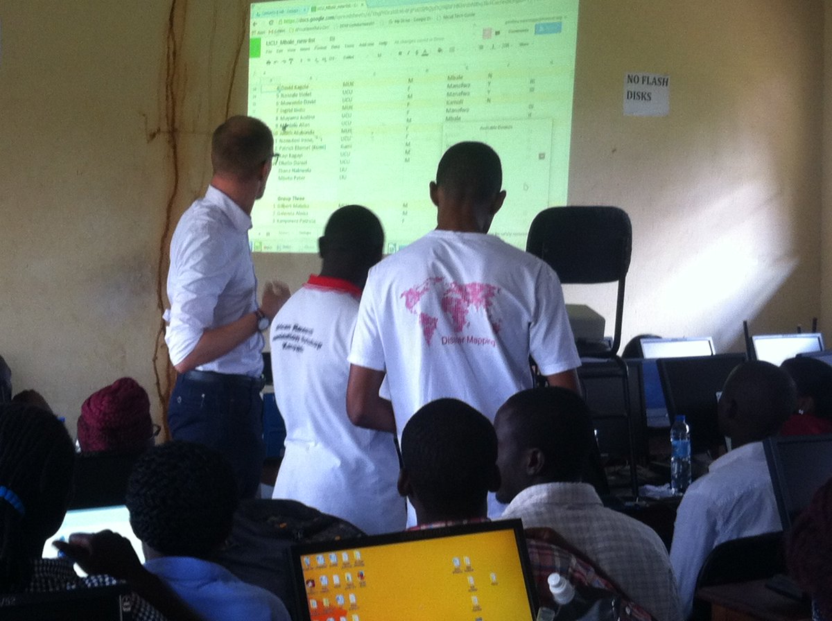
mapping just got better @UCUMbaleCampus with @muk, @LIUniversity @hotosm @douglaseru @kadoch @kateregga1


Humanitarian OpenStreetMap Team #mapthedifference youtu.be/8wdzGKmZu-k via @YouTube

Dear Internet, can we please have a big clap for all the amazing @hotosm mappers, supporters, partners & OSM Users? They really deserve it

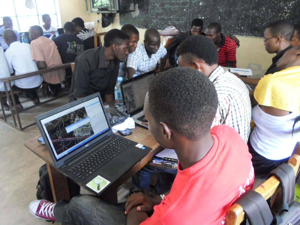
Leo katika jengo la Sayansi tulikuwa tunatengeneza ramani ya Mchikichini kwakutumia program ya QGIS,


Let's hang out! Social events during State of the Map US on Friday, Saturday, Sunday, Monday: openstreetmap.us/2015/05/social/

#TARAKEEM launching now @bunihub download now at play.google.com/store/search?q…

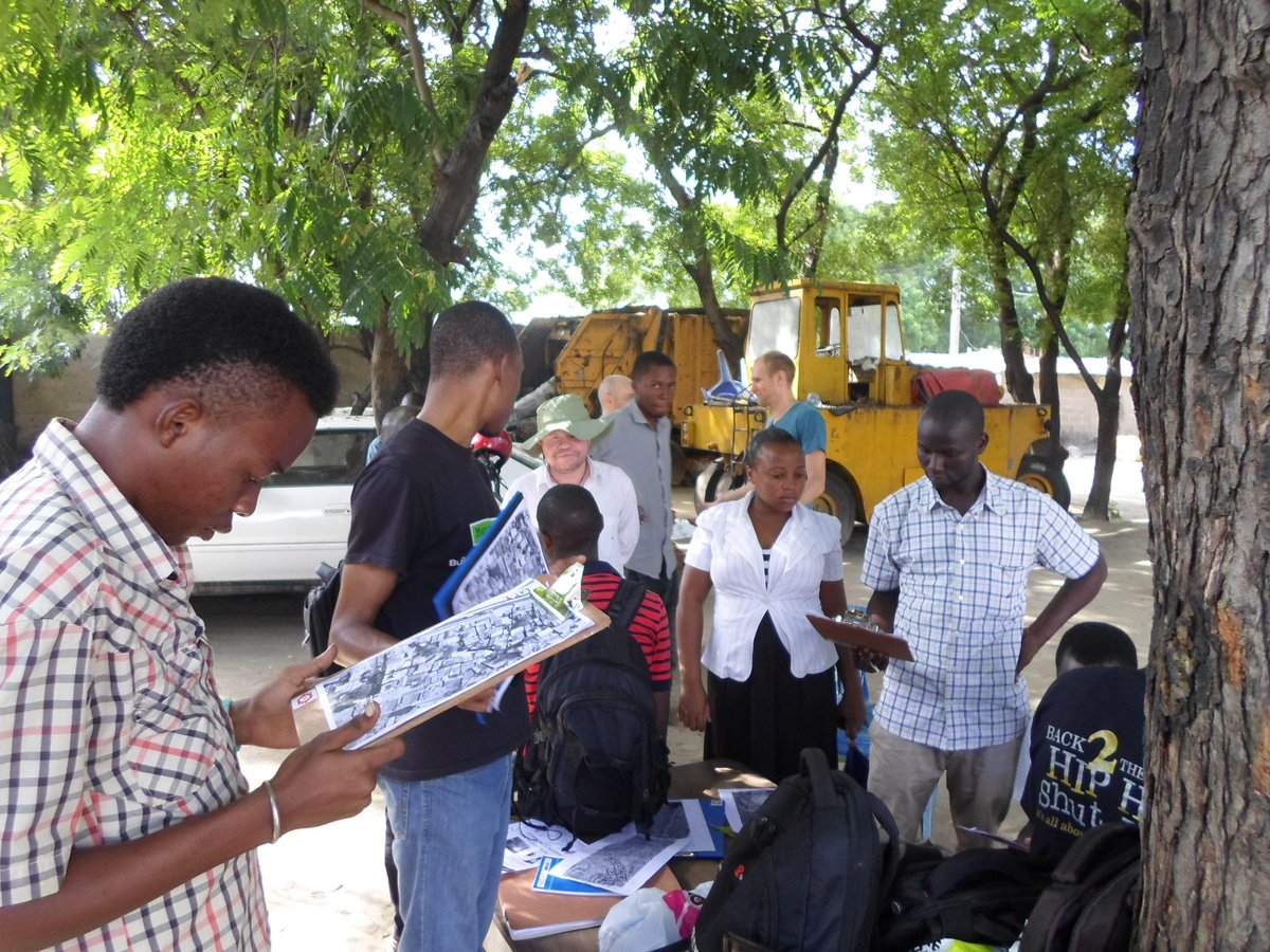
Ariel view of Shule Ya Msingi Ndugumbi the centre of our Mapping Activities #MappingForFloodResilience

#MapTanzania, Community Mapping for Flood Resilience-Ndungumbi.@hotosm @bunihub @costechTANZANIA @openstreetmap


We all geared up, ready to move, ready to collect data, ready to map #Ndungumbi_Ward @hotosm @openstreetmap


United States Trends
- 1. Pond 244K posts
- 2. Jimmy Olsen 3,500 posts
- 3. Veterans Day 22.9K posts
- 4. Daboll 37.7K posts
- 5. Go Birds 13.5K posts
- 6. McRib 1,815 posts
- 7. #GoPackGo 2,438 posts
- 8. Downshift N/A
- 9. #OTGala8 128K posts
- 10. Akira 27.9K posts
- 11. Schoen 19.6K posts
- 12. Gorilla Grodd 1,905 posts
- 13. Zendaya 10.6K posts
- 14. #FlyEaglesFly 6,138 posts
- 15. Mecole Hardman N/A
- 16. American Vandal 2,003 posts
- 17. Biker 4,128 posts
- 18. Johnny Carson 1,077 posts
- 19. Harvard 33.7K posts
- 20. Packers ML N/A


Something went wrong.
Something went wrong.