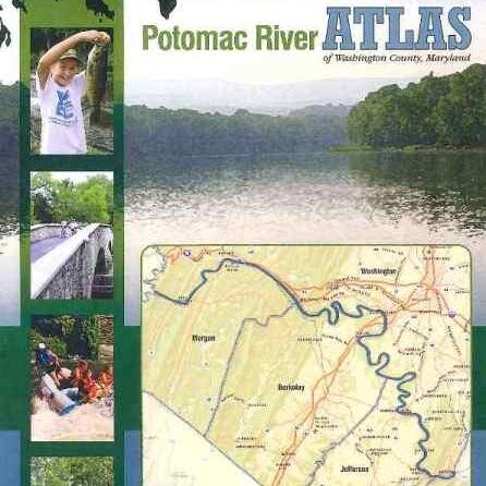
Potomac River Atlas
@PotomacRiverMap
The Official Twitter of the award-winning Potomac River Atlas. Feedback encouraged!
You might like


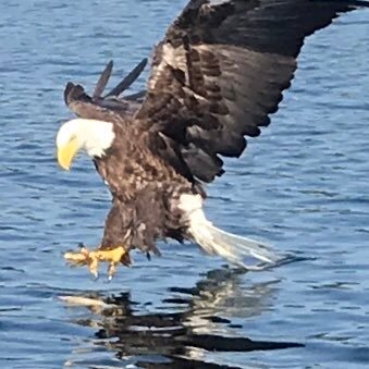
#wildlife RT @thrill1usa: Peregrine Falcon on Maryland Heights @HarpersFerryNPS above @COcanalNPS


Hard-copies are available from the Hagerstown - Washington County CVB. marylandmemories.org/index.shtml

Hitting the Potomac River this weekend? Check out the @PotomacRiverMap -- chock full of info you need to know! ow.ly/wShJd
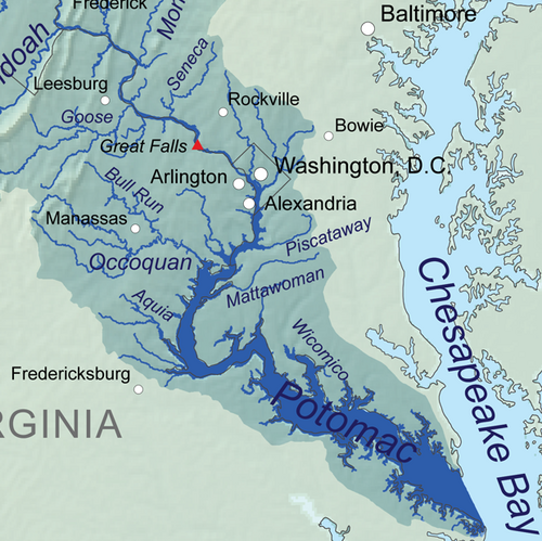
The Potomac River Atlas is the most detailed map of the river and surroundings in @WashingtonCoMD and West Virginia that has ever been made.
The Potomac River Atlas is truly one of a kind. Although made for @WashingtonCoMD it also covers neighboring counties in West Virginia.
The mobile maps lets you use the complete Potomac River Atlas with your phone or other device without an internet or cell phone connection
Did you know you can download the maps of the atlas for free? Yes, FREE! Just visit gis.marylandmemories.org
Welcome to the Twitter page of the Potomac River Atlas! Please feel free to comment on the maps or ask any questions! Happy trails!


United States Trends
- 1. #SmackDown 47,1 B posts
- 2. Renee 1,36 Mn posts
- 3. Drew 113 B posts
- 4. Happy Trump 12,1 B posts
- 5. Wrexham 11,2 B posts
- 6. Nico Harrison N/A
- 7. Drive Baby Drive 35,1 B posts
- 8. #DigitalBlackoutIran 441 B posts
- 9. Ja Morant 12,9 B posts
- 10. Anthony Davis 6.067 posts
- 11. The ORE 47,7 B posts
- 12. #BLACKWHALE 101 B posts
- 13. Max Kepler 1.830 posts
- 14. Sami 20,7 B posts
- 15. Jessica Tarlov 15,1 B posts
- 16. Jacob Fatu 2.731 posts
- 17. Becca 22 B posts
- 18. Addison Russell N/A
- 19. PEDs 1.131 posts
- 20. Mavs 6.540 posts


Something went wrong.
Something went wrong.