
Lorenzo de Simone
@lorenzodesimon7
GeoSpatial Officer at the United Nations. I am passionate about geospatial technology and their use for improving global food security. Views are my own.
You might like


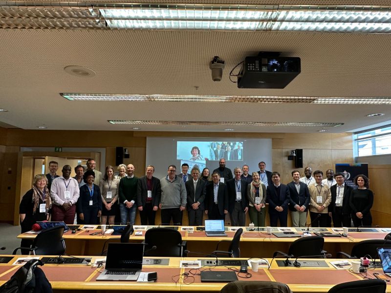
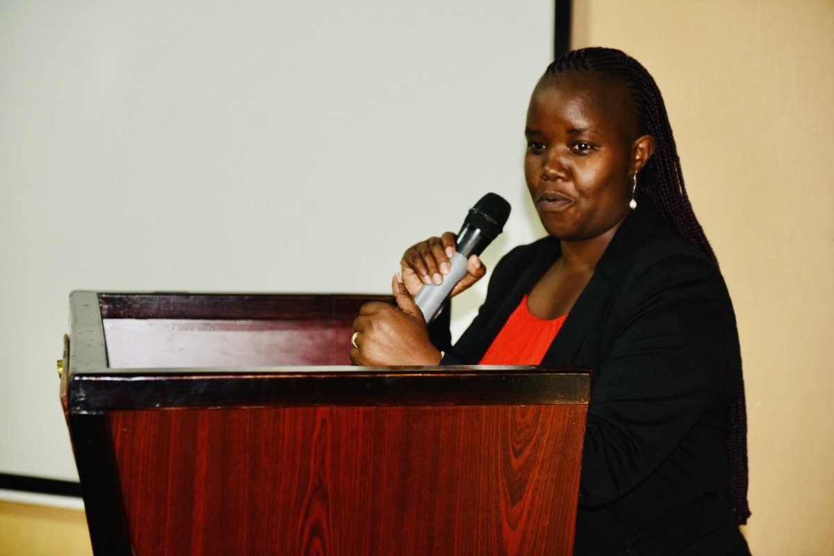
Looking forward to contribute to the initiative. Together with the esteemed colleagues I will be discussing about in-situ data, why they are so important and still so rare to find, and which are the opportunities to fill such data gap thanks to FAO's work…lnkd.in/dbGnAjcu
linkedin.com
2023 Open Data & Open Knowledge Workshop | Lorenzo de Simone
Looking forward to contribute to the initiative. Together with the esteemed colleagues I will be discussing about in-situ data, why they are so important and still so rare to find, and which are the...
Join us tomorrow at the sixth EOSTAT webinar. We conclude the EOSTAT series with a session on crop field boundaries mapping. Such data is extremely useful for a variety of applications, from crop monitoring, precision farming, agricultural policy impact…lnkd.in/ex3BTFHj

Working together for global agricultural monitoring is key to ensure food security at a time of global challanges. No single solution fits all, while a participative approach only can make the difference, fill the gaps, and provide solid answers. I am hum…lnkd.in/dfF-ygzj
Very much needed! lnkd.in/dx63G7ab

Within the context of crop type mapping using Earth Observations (EO), in-situ data is a fundamental input. It is required for the calibration of classification models, and for the validation of the predictions. The quality of th…lnkd.in/d7TWMCfH lnkd.in/dzZfBk8y

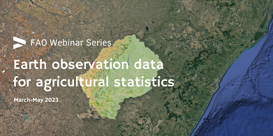
Join @FAO webinar series on Earth observation data for agricultural statistics! During Session 5, special guest Sophie Bontemps discusses EO augmented survey design, in-situ data standards, & georeferencing best practices 🗓️27 April 2023 ⏰15:30 CEST 📌fao.zoom.us/webinar/regist…
Are you intersted in the use of Earth Observations data for producing statistics? EOSTAT is providing technical support to countries for such scope, with a focus on quantiative, objective, transparent and validated methods. Today…lnkd.in/d6zCUvtH lnkd.in/d-8wPpkH
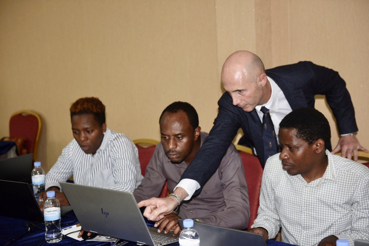
Leveraging Earth Observation (EO) data to produce land cover statistics under the framework of the Hand in Hand Initiative. Last week an intense workshop has been held in Kigali, with a demonstration of FAO's new methodology for…lnkd.in/e4ZqGzip lnkd.in/eMzv_Y3y

Check how @FAO is contributing towards more progress and innovation on #geospatial #data use for tailored agriculture interventions in the field, through #HandinHand in #Rwanda! #Digital4Impact

With @FAOstatistics & @FAOeagriculture, @RwandaGov experts are attending a 4 days training on the use of Earth Observation #data to produce standardized land cover maps under @FAO's #HanInHand initiative. @NyaruguruDistr & @NgororeroDistr will be analysed during the training.


📢Welcome to read a hot topic paper published in our Journal: "Using Standardized Time Series #LandCover #Maps to Monitor the SDG Indicator “Mountain Green Cover Index” and Assess Its Sensitivity to #Vegetation Dynamics" By @lorenzodesimon7 et al. 👉mdpi.com/2220-9964/10/7…

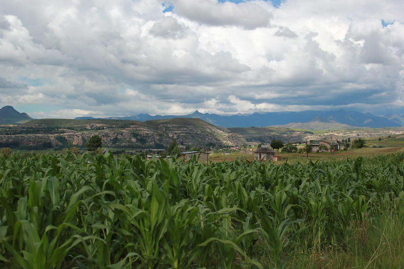
The NextGen-Atlas of Lesotho has just been released as result of the work of FAO in support of ReNOKA, the national programme for Integrated Catchment Management in Lesotho, through the Action “Support to Integrated Catchment Management in Lesotho”, co-fi…lnkd.in/e4PA-MuU
Join @FAO webinar series on Earth observation data for agricultural statistics! During Session 2, special guest @brunobasso1 will speak about crop yield mapping & yield statistics 🗓️20 March 2023 ⏰15:30 17:00 CET 📌fao.zoom.us/webinar/regist… More info 👇fao.org/statistics/eve…

If you interested in the integration of Earth Observations and physical based crop modelling, please join us at the forthcoming webinar on "Crop yield mapping and yield statistics", on March 20th. Our special guest Professor Bruno…lnkd.in/dgaZHiRx lnkd.in/dewU5x62

Can countries use free and open EO data in a systematic way to produce official land cover statistics? FAO has developed and tested a solution in Lesotho with positive results. More countries can use this approach with a minimum of…lnkd.in/dfVVdVcf lnkd.in/dyNXDThn
Next generation Earth Observation tools help monitor land cover change in #Lesotho 🇱🇸. @FAOstatistics works with partners to make agrifood systems more resilient and achieve Zero Hunger. Find out more: fao.org/sustainable-de…
Collecting data and predicting real time crop area and yield is difficult and expensive. FAO, through the EOSTAT project, is helping countries in overcoming this challenge and building their technical capacity to consistently colle…lnkd.in/d79Cin48 lnkd.in/dnycfsm4
EOSTAT Ecuador Very happy to share some result EOSTAT project implementation in Ecuador in collaboration with the Ministerio de Agricultura y Ganadería and the Michigan State University. Accurate, granular and timely crop stati…lnkd.in/dK9hDEap lnkd.in/dEX5A59V
linkedin.com
Interactive, multimedia oral & poster sessions - onsite & online | Lorenzo de Simone
EOSTAT Ecuador Very happy to share some result from the EOSTAT project implementation in Ecuador in collaboration with the Ministerio de Agricultura y Ganadería and the Michigan State University. ...
Can a country make operational use of EO data to monitor land cover on a regular basis and produce accurate, timely and disaggregated land cover and land cover change statistics? YES it can! We will who how this can be achieved using scientific methods…lnkd.in/dzSkiMhg

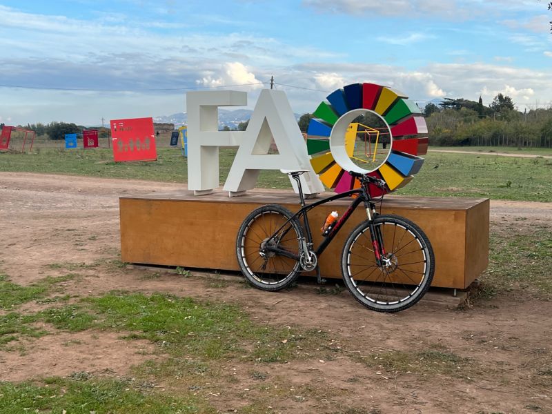
Bikes are very good friends of green mobility, green economy, public health, green tourism. E-bikes are good too of course :-) lnkd.in/dPgemNcv
Want to use EO big data to produce standardize land cover maps and run preliminary analysis of ecosystem status? Join me tomorrow at the demo of the Next Generation Land Cover Statistical Dashboard of Lesotho! Save the date! #Le…lnkd.in/dXzxApqy lnkd.in/d62Tq-ZC


United States Trends
- 1. Araujo 179K posts
- 2. Chelsea 623K posts
- 3. Barca 250K posts
- 4. Estevao 250K posts
- 5. Barcelona 446K posts
- 6. Ferran 76.7K posts
- 7. Yamal 192K posts
- 8. Oklahoma State 4,567 posts
- 9. Eric Morris 3,029 posts
- 10. Cucurella 97.7K posts
- 11. Godzilla 25.2K posts
- 12. Rashford 24.3K posts
- 13. Flick 47.9K posts
- 14. Kounde 48K posts
- 15. Pedri 52.4K posts
- 16. Enzo 68.1K posts
- 17. #CHEBAR 16.8K posts
- 18. Skippy 4,538 posts
- 19. Raising Arizona 1,755 posts
- 20. Happy Thanksgiving 25.2K posts


Something went wrong.
Something went wrong.