#earthonaws search results


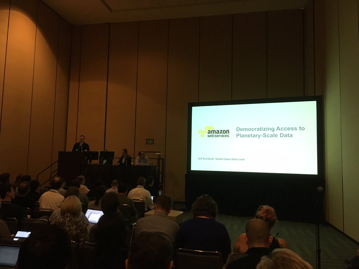
#AGU16 attendees learning methods for sharing planetary-scale data in the cloud from @jedsundwall. #EarthOnAWS
This should be interesting! #EarthonAWS & how data is aggregated in the cloud, updated & shared. #AWSPSSummit


Animação da região desde 1/1/2017, câmera MUX utilizando dados CBERS no #EarthOnAWS. Aplicativo opensource em github.com/fredliporace/c…


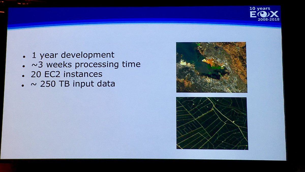
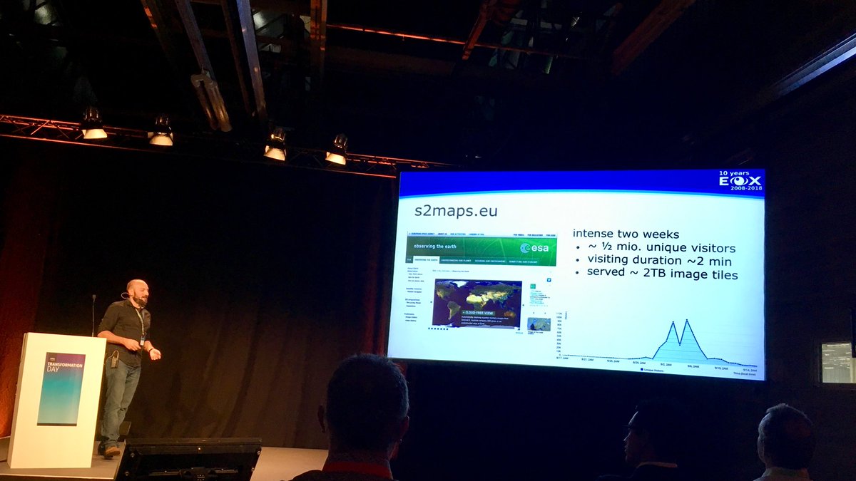
Remember the cloudless Sentinel-2 atlas from @eox_a? Source tiles now available on S3! Details at amzn.to/2nrqg7P #EarthonAWS
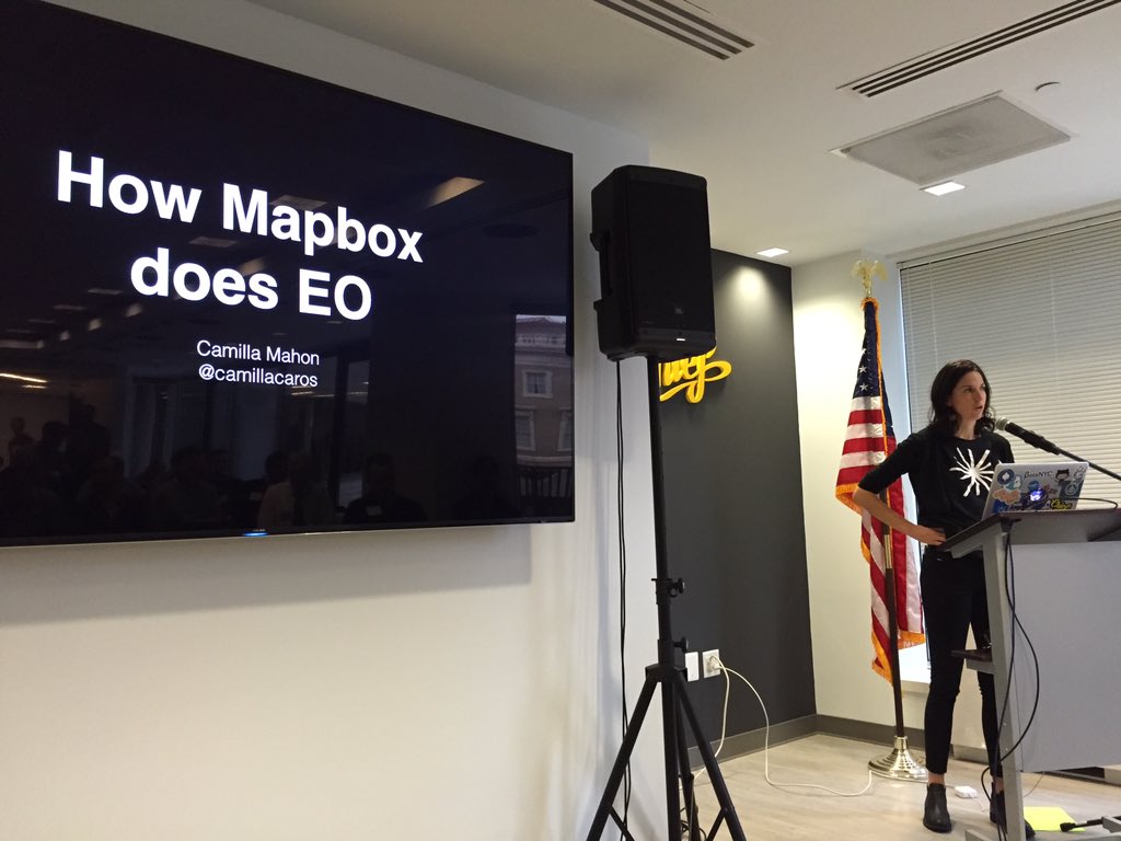
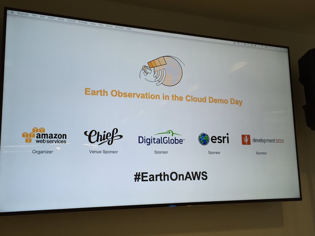
Thank you to our sponsors @agencyCHIEF, @DigitalGlobe, @Esri and @developmentseed for a great event! #EarthOnAWS
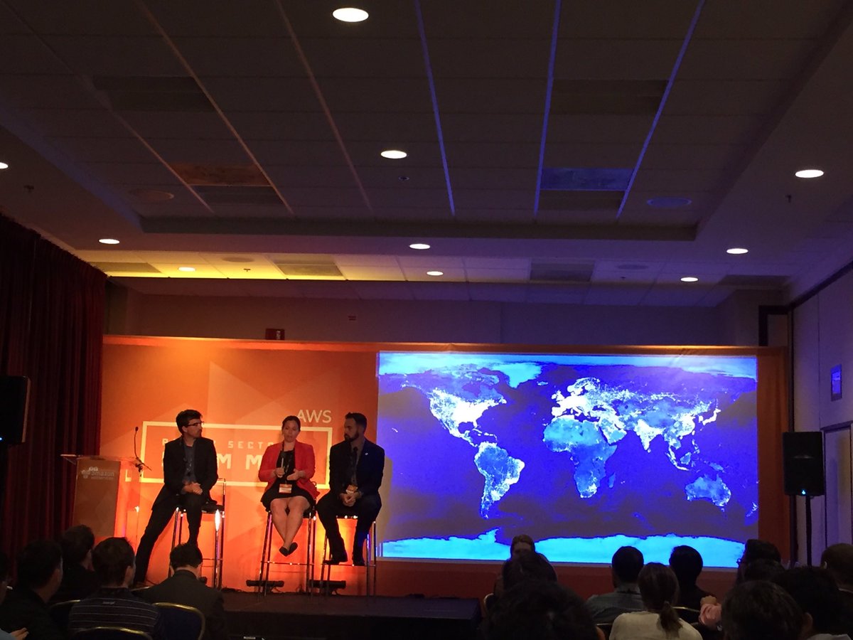
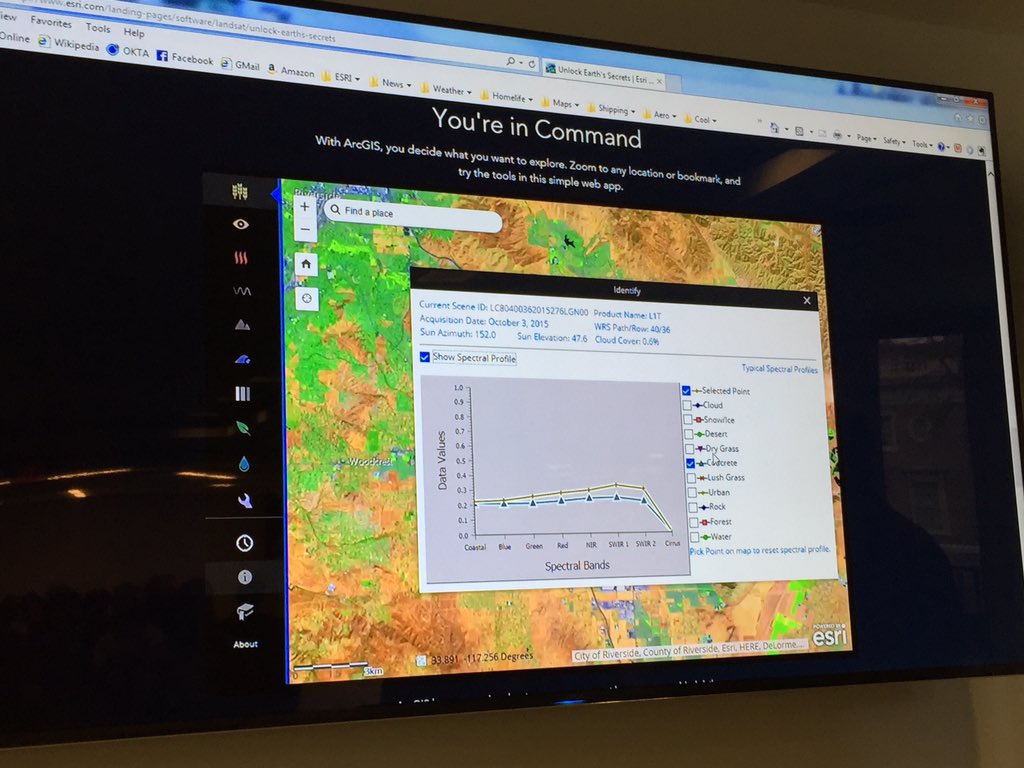
Looking at @NASA_Landsat data we can see how humans have impacted the land. Michael Lippmann @blueraster #EarthOnAWS


Interested in building Earth observation data cubes from data available on #EarthonAWS, #PlanetaryComputer, @DEarthAfrica and using them for land classification with machine learning and deep learning? Checkout #sits, simple to learn, robust to use.

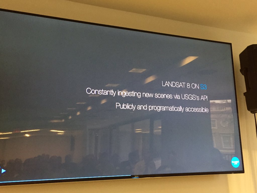
The longest continuous space-based record of Earth’s land in existence now available on @awscloud, direct from @USGSLandsat: registry.opendata.aws/usgs-landsat/ #opendata #EarthOnAWS ✨🌏🌎🌍✨
Celebrating ✨5✨ years of Landsat on AWS today. Turns out this was a good idea! registry.opendata.aws/landsat-8/ #EarthOnAWS ☁️🌎🌍🌏☁️

Over 85,000 Landsat 8 scenes are now available on Amazon S3. Learn more about Landsat on AWS: oak.ctx.ly/r/2novz

RT @sentinel_hub: RT @jedsundwall: Hard to choose my favorite thing about this great post by @LubejMatic, but this image is *really* cool. buff.ly/2S3h7zQ #moretutorials #opendata #EarthOnAWS buff.ly/2RYXhWF

Aplicativo #python #opensource para fazer animação com imagens do satélite CBERS na @awscloud. github.com/fredliporace/c… #EarthOnAWS #CBERS4 #remotesensing #sensoriamentoremoto
CBERS 4 MUX timelapse, Mato Grosso (BR) #EarthOnAWS. Generate your own with github.com/fredliporace/c…
Animação da região desde 1/1/2017, câmera MUX utilizando dados CBERS no #EarthOnAWS. Aplicativo opensource em github.com/fredliporace/c…
CBERS 4 MUX timelapse, Mato Grosso (BR) #EarthOnAWS. Generate your own with github.com/fredliporace/c…

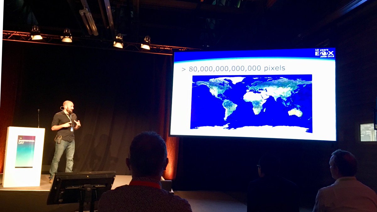
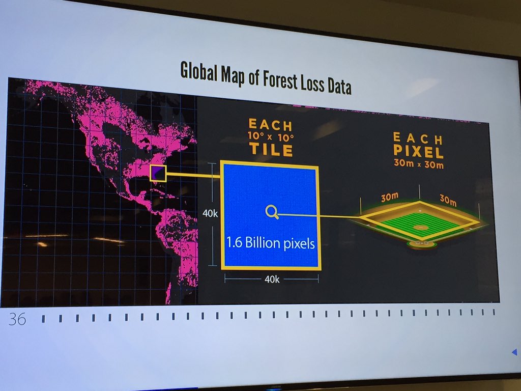
The earth in 80,000,000,000,000 pixels. @ungarjo educating the community about putting #opendata to work on the cloud at #AWSTransformationDay in Munich. #EarthOnAWS

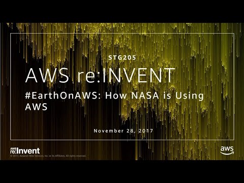


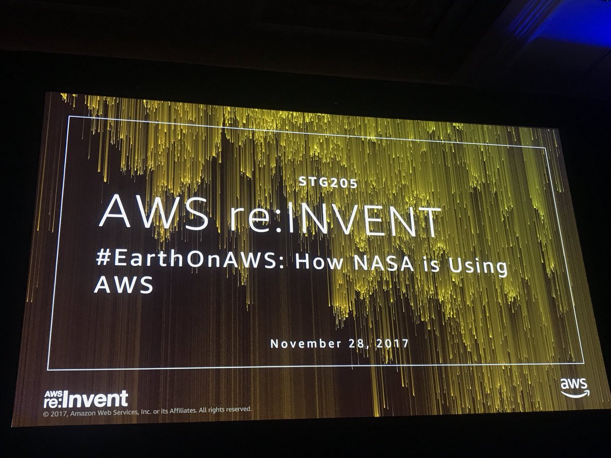
AWS re:Invent 2017: #EarthonAWS: How NASA Is Using AWS (STG205) youtu.be/Sh7FB-tkYXM via @YouTube

And check out this blog post about a project using GeoPySpark to project excessive heat days for Arizona airports based on climate data azavea.com/blog/2017/11/2… @NASA #earthonaws #gddp #climatechange

AWS re:invent 2017: #EarthonAWS: How NASA Is Using AWS (STG205) youtube.com/watch?v=Sh7FB-… November 29, 2017 at 07:03PM

AWS re:invent 2017: #EarthonAWS: How NASA Is Using AWS (STG205) youtube.com/watch?v=Sh7FB-…

I love seeing Earth observation data become more accessible to the masses #EarthonAWS: How NASA Is Using AWS portal.reinvent.awsevents.com/connect/sessio…

Breaking News #reINVENT AWSreInvent : Live-tweeting #EarthonAWS: How NASA is using AWS #reInvent bit.ly/2j0UEEZ (via Twitter )
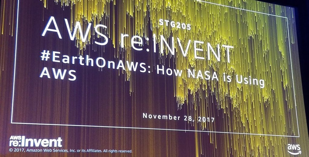

Come see @danpilone speak at Re:Invent about work from NASA's EED-2 Contract leveraging AWS for Earth Science @ scale! Session STG205 - #EarthonAWS.
This should be interesting! #EarthonAWS & how data is aggregated in the cloud, updated & shared. #AWSPSSummit
Thank you to our sponsors @agencyCHIEF, @DigitalGlobe, @Esri and @developmentseed for a great event! #EarthOnAWS
#AGU16 attendees learning methods for sharing planetary-scale data in the cloud from @jedsundwall. #EarthOnAWS
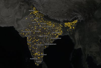
Here is a visualization of the #opendata we are working with on a global scale. @leepmon #EarthOnAWS
Animação da região desde 1/1/2017, câmera MUX utilizando dados CBERS no #EarthOnAWS. Aplicativo opensource em github.com/fredliporace/c…
Remember the cloudless Sentinel-2 atlas from @eox_a? Source tiles now available on S3! Details at amzn.to/2nrqg7P #EarthonAWS
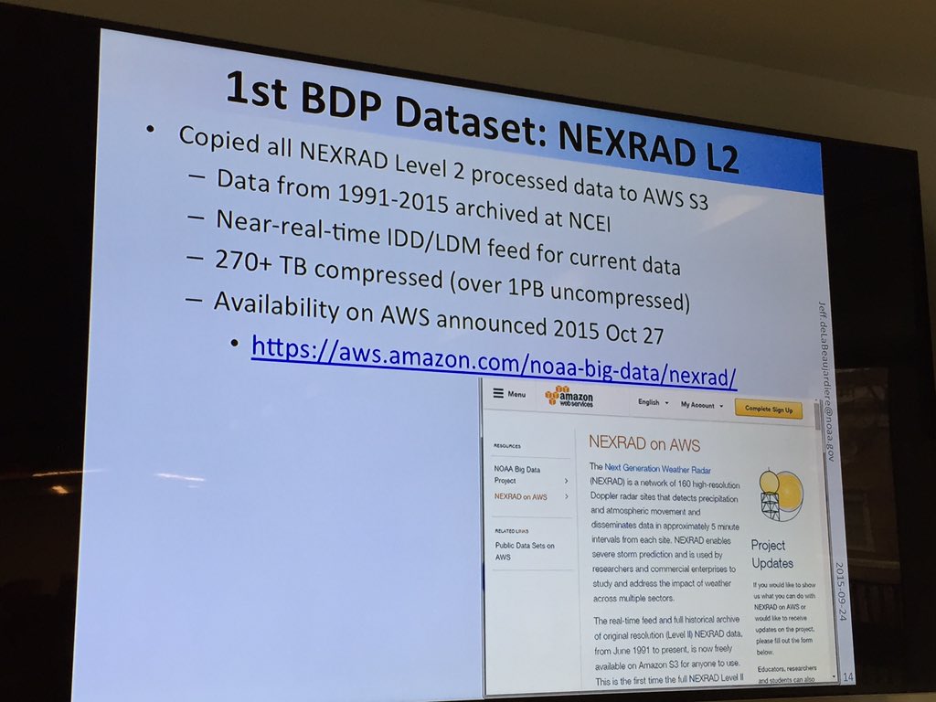
We've copied all the @NEXRADROC data to #AWS - more than 270 TB compressed aws.amazon.com/noaa-big-data/… #EarthonAWS
Something went wrong.
Something went wrong.
United States Trends
- 1. Mamdani 324K posts
- 2. #SmackDown 11.9K posts
- 3. Kandi 6,018 posts
- 4. Mama Joyce 2,038 posts
- 5. Hannah Hidalgo 1,197 posts
- 6. Aiyuk 3,287 posts
- 7. Sarah Strong 1,325 posts
- 8. Joshua 49.6K posts
- 9. #ItsGoodToBeRight N/A
- 10. End 1Q N/A
- 11. Chance Moore N/A
- 12. Jazzy 6,626 posts
- 13. #RissaHatchDay25 5,896 posts
- 14. Khalifa 46K posts
- 15. #HMGxBO7Sweeps 1,736 posts
- 16. #RHOA 2,342 posts
- 17. Nikishin N/A
- 18. Drew McIntyre N/A
- 19. JD McDonagh N/A
- 20. Kam Williams N/A