#geospatialmonitoring Suchergebnisse

🛰️ Curious about the latest in #geospatialmonitoring technology? Join us at Intergeo 2025, the premier event for the #geospatial industry, for three days filled with cutting-edge insights, networking, and innovation. 📅 October 7–9, 2025 📍Messe Frankfurt 📌 Booth: 12.0D.134
The team is still energized and excited for the final day of #INTERGEO! They look forward to connecting with you to discuss tailored solutions for your monitoring projects. 📌 Booth: 12.0D.134 #GeotechnicalMonitoring #GeospatialMonitoring #RiskManagement


Good morning from #INTERGEO! Meet the team to stay up to date with the latest Worldsensing developments in geospatial and #geotechnicalmonitoring. 📅 Until 9th October 2025 📌 Booth: 12.0D.134 We look forward to meeting you! #GeospatialMonitoring


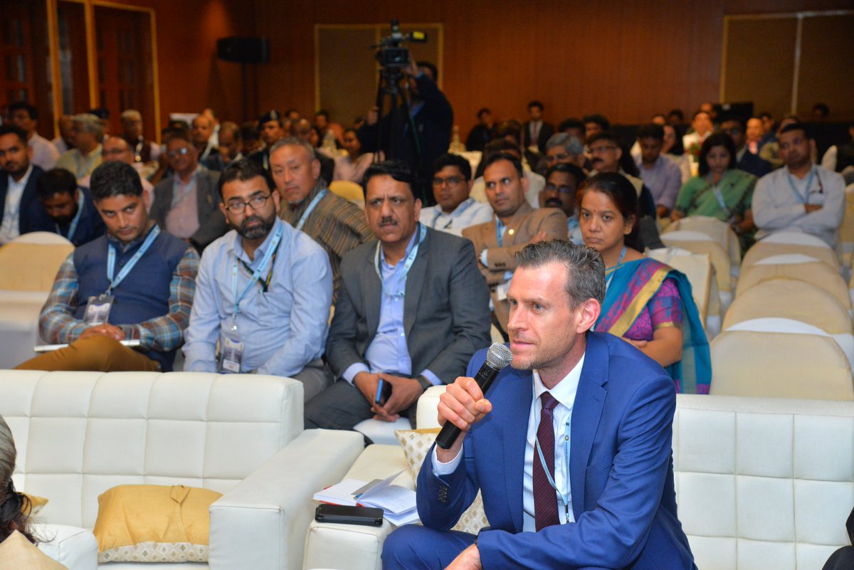
"Experts tackle Glacial Lake Outburst Flood (GLOF) risks in India! Technical Session 4 focuses on Hazard Assessments & Geo-Spatial Monitoring of High-Risk Glacial Lakes. Chaired by Lt. Gen. Syed Ata Hasnain & Dr. Akhilesh Gupta. #GLOF #DisasterRiskReduction #GeoSpatialMonitoring


@BlackSky_Inc 's virtual ground architecture lets them leverage different antenna assets and spin them up based on demand #GeospatialMonitoring - bit.ly/GeospatialMoni…

Huge expansion in space industry & space-based data sources - still have gaps in coverage and capability @BlackSky_Inc #GeospatialMonitoring bit.ly/GeospatialMoni…

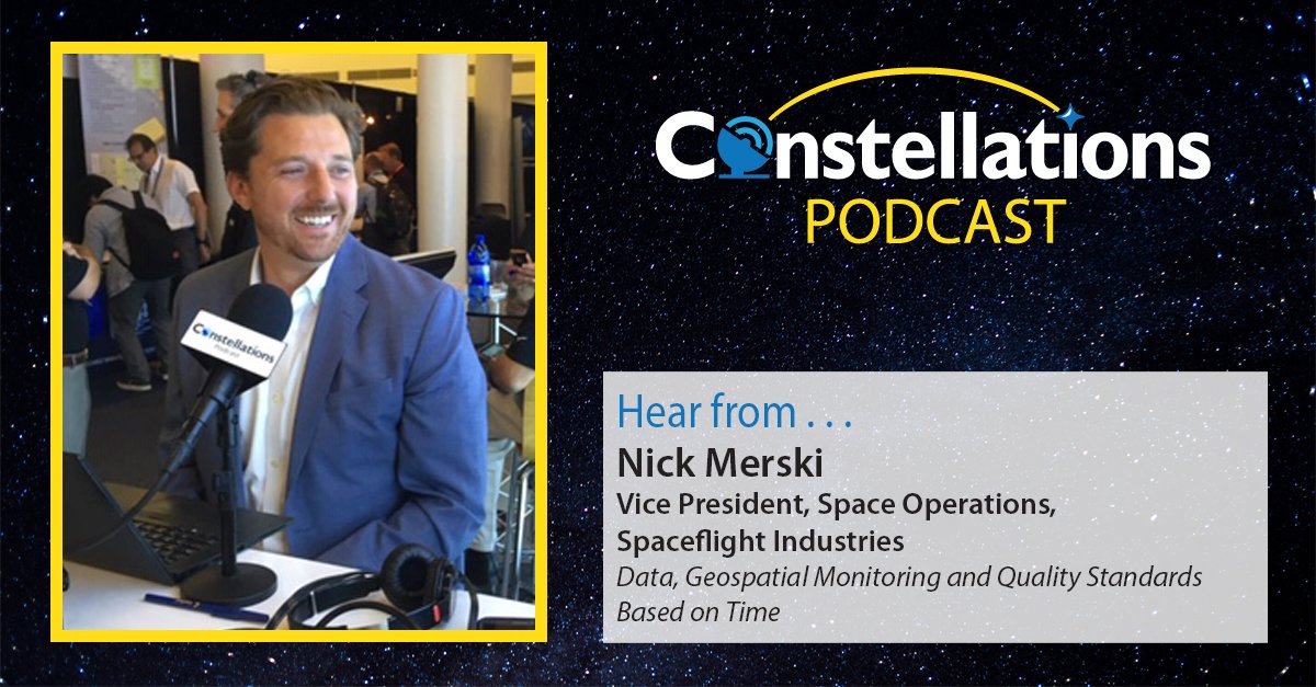
Know why the temporal imagery interpretability rating scale is important? Nick Merski VP, Space Operations, at Spaceflight Industries explains on Constellations @BlackSky_Inc bit.ly/GeospatialMoni… #GeospatialMonitoring

'@BlackSky_Inc 's virtual ground architecture lets them leverage different antenna assets and spin them up based on demand #GeospatialMonitoring - bit.ly/GeospatialMoni…
Data driven people need timely access to information including the use of the domain of space to see from above @BlackSky_Inc #GeospatialMonitoring bit.ly/GeospatialMoni…

As a cloud company, you can utilize a systematic delivery mechanism such as an EC2 instance to make things automatically happen #GeospatialMonitoring @BlackSky_Inc bit.ly/GeospatialMoni…
Space based data latency is typically less than twelve hours, that is considered innovative in the market @BlackSky_Inc #GeospatialMonitoring bit.ly/GeospatialMoni…

Integrate satellite imagery, social media, news and other data feeds and what do you get? "Intelligence" says Nick Merski on Constellations @BlackSky_Inc bit.ly/GeospatialMoni… #GeospatialMonitoring

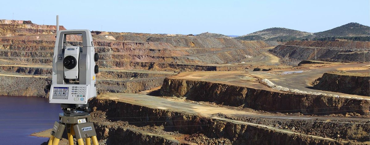
Catch ground movement before it causes delays. Proactive monitoring keeps projects safe and on track. Explore our solutions: murphygs.com/ground-movemen… #GroundMovement #InfrastructureSafety #GeospatialMonitoring
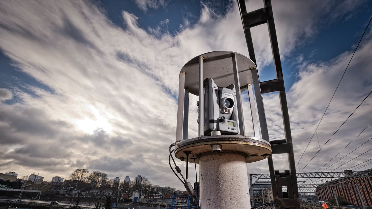
Worldsensing technology delivers robustness, precision, and reliability in GNSS monitoring at a fraction of the cost of traditional solutions. #innovation #GeospatialMonitoring #GNSS #ComingSoon
The team is still energized and excited for the final day of #INTERGEO! They look forward to connecting with you to discuss tailored solutions for your monitoring projects. 📌 Booth: 12.0D.134 #GeotechnicalMonitoring #GeospatialMonitoring #RiskManagement
Good morning from #INTERGEO! Meet the team to stay up to date with the latest Worldsensing developments in geospatial and #geotechnicalmonitoring. 📅 Until 9th October 2025 📌 Booth: 12.0D.134 We look forward to meeting you! #GeospatialMonitoring
Catch ground movement before it causes delays. Proactive monitoring keeps projects safe and on track. Explore our solutions: murphygs.com/ground-movemen… #GroundMovement #InfrastructureSafety #GeospatialMonitoring
🛰️ Curious about the latest in #geospatialmonitoring technology? Join us at Intergeo 2025, the premier event for the #geospatial industry, for three days filled with cutting-edge insights, networking, and innovation. 📅 October 7–9, 2025 📍Messe Frankfurt 📌 Booth: 12.0D.134
"Experts tackle Glacial Lake Outburst Flood (GLOF) risks in India! Technical Session 4 focuses on Hazard Assessments & Geo-Spatial Monitoring of High-Risk Glacial Lakes. Chaired by Lt. Gen. Syed Ata Hasnain & Dr. Akhilesh Gupta. #GLOF #DisasterRiskReduction #GeoSpatialMonitoring
Worldsensing technology delivers robustness, precision, and reliability in GNSS monitoring at a fraction of the cost of traditional solutions. #innovation #GeospatialMonitoring #GNSS #ComingSoon
Integrate satellite imagery, social media, news and other data feeds and what do you get? "Intelligence" says Nick Merski on Constellations @BlackSky_Inc bit.ly/GeospatialMoni… #GeospatialMonitoring

Know why the temporal imagery interpretability rating scale is important? Nick Merski VP, Space Operations, at Spaceflight Industries explains on Constellations @BlackSky_Inc bit.ly/GeospatialMoni… #GeospatialMonitoring
Data driven people need timely access to information including the use of the domain of space to see from above @BlackSky_Inc #GeospatialMonitoring bit.ly/GeospatialMoni…
Huge expansion in space industry & space-based data sources - still have gaps in coverage and capability @BlackSky_Inc #GeospatialMonitoring bit.ly/GeospatialMoni…

Know why the temporal imagery interpretability rating scale is important? Nick Merski VP, Space Operations, at Spaceflight Industries explains on Constellations @BlackSky_Inc bit.ly/GeospatialMoni… #GeospatialMonitoring

Huge expansion in space industry & space-based data sources - still have gaps in coverage and capability @BlackSky_Inc #GeospatialMonitoring bit.ly/GeospatialMoni…

Integrate satellite imagery, social media, news and other data feeds and what do you get? "Intelligence" says Nick Merski on Constellations @BlackSky_Inc bit.ly/GeospatialMoni… #GeospatialMonitoring
Know why the temporal imagery interpretability rating scale is important? Nick Merski VP, Space Operations, at Spaceflight Industries explains on Constellations @BlackSky_Inc bit.ly/GeospatialMoni… #GeospatialMonitoring

@BlackSky_Inc 's virtual ground architecture lets them leverage different antenna assets and spin them up based on demand #GeospatialMonitoring - bit.ly/GeospatialMoni…
Space based data latency is typically less than twelve hours, that is considered innovative in the market @BlackSky_Inc #GeospatialMonitoring bit.ly/GeospatialMoni…
Data driven people need timely access to information including the use of the domain of space to see from above @BlackSky_Inc #GeospatialMonitoring bit.ly/GeospatialMoni…
Huge expansion in space industry & space-based data sources - still have gaps in coverage and capability @BlackSky_Inc #GeospatialMonitoring bit.ly/GeospatialMoni…

As a cloud company, you can utilize a systematic delivery mechanism such as an EC2 instance to make things automatically happen #GeospatialMonitoring @BlackSky_Inc bit.ly/GeospatialMoni…
Huge expansion in space industry & space-based data sources - still have gaps in coverage and capability @BlackSky_Inc #GeospatialMonitoring bit.ly/GeospatialMoni…
'@BlackSky_Inc 's virtual ground architecture lets them leverage different antenna assets and spin them up based on demand #GeospatialMonitoring - bit.ly/GeospatialMoni…
Data driven people need timely access to information including the use of the domain of space to see from above @BlackSky_Inc #GeospatialMonitoring bit.ly/GeospatialMoni…
As a cloud company, you can utilize a systematic delivery mechanism such as an EC2 instance to make things automatically happen #GeospatialMonitoring @BlackSky_Inc bit.ly/GeospatialMoni…
Know why the temporal imagery interpretability rating scale is important? Nick Merski VP, Space Operations, at Spaceflight Industries explains on Constellations @BlackSky_Inc bit.ly/GeospatialMoni… #GeospatialMonitoring
Space based data latency is typically less than twelve hours, that is considered innovative in the market @BlackSky_Inc #GeospatialMonitoring bit.ly/GeospatialMoni…
@BlackSky_Inc 's virtual ground architecture lets them leverage different antenna assets and spin them up based on demand #GeospatialMonitoring - bit.ly/GeospatialMoni…
"Experts tackle Glacial Lake Outburst Flood (GLOF) risks in India! Technical Session 4 focuses on Hazard Assessments & Geo-Spatial Monitoring of High-Risk Glacial Lakes. Chaired by Lt. Gen. Syed Ata Hasnain & Dr. Akhilesh Gupta. #GLOF #DisasterRiskReduction #GeoSpatialMonitoring
Integrate satellite imagery, social media, news and other data feeds and what do you get? "Intelligence" says Nick Merski on Constellations @BlackSky_Inc bit.ly/GeospatialMoni… #GeospatialMonitoring
Good morning from #INTERGEO! Meet the team to stay up to date with the latest Worldsensing developments in geospatial and #geotechnicalmonitoring. 📅 Until 9th October 2025 📌 Booth: 12.0D.134 We look forward to meeting you! #GeospatialMonitoring
The team is still energized and excited for the final day of #INTERGEO! They look forward to connecting with you to discuss tailored solutions for your monitoring projects. 📌 Booth: 12.0D.134 #GeotechnicalMonitoring #GeospatialMonitoring #RiskManagement
Something went wrong.
Something went wrong.
United States Trends
- 1. #Kodezi N/A
- 2. Brian Cole 2,506 posts
- 3. Walter Payton 5,570 posts
- 4. Chronos 1,003 posts
- 5. Price 268K posts
- 6. #25SilverPagesofSoobin 24.2K posts
- 7. Merry Christmas 68.6K posts
- 8. Good Thursday 37.4K posts
- 9. $META 12K posts
- 10. The FBI 108K posts
- 11. #thursdayvibes 2,647 posts
- 12. #WPMOYChallenge 7,062 posts
- 13. Yihe 2,675 posts
- 14. #NationalCookieDay N/A
- 15. Metaverse 7,953 posts
- 16. Dealerships 1,625 posts
- 17. Somali 249K posts
- 18. Happy Friday Eve 1,090 posts
- 19. Hilux 11.1K posts
- 20. The Blaze 5,472 posts