Sensors & Systems
@SensorsSystems
Sensors & Systems is focused on geospatial technologies that help us observe, measure, monitor and analyze Earth.
내가 좋아할 만한 콘텐츠
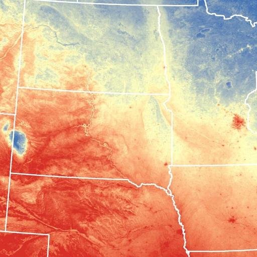
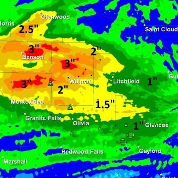
Data for Disasters: Leveraging Data Science for Disaster Response & Management sensorsandsystems.com/data-for-disas…
Orbit GT to exhibit and showcase v20 Portfolio at UAV Expo, Las Vegas sensorsandsystems.com/orbit-gt-to-ex…
Ecometrica signs up to UK SPRINT programme for international space data project sensorsandsystems.com/ecometrica-sig…
WMR-532, LLC Signs $49.9M Geospatial Contract with USACE Mobile District sensorsandsystems.com/wmr-532-llc-si…
MetLife Stadium Selects AeroDefense for Drone Detection sensorsandsystems.com/metlife-stadiu…
2019 Commercial UAV Expo Americas to Break Exhibitor & Attendance Records sensorsandsystems.com/2019-commercia…
Blue Marble attends Surveying, Mapping, and Geoinformation Technology Equipment Expo in Ninjing, China sensorsandsystems.com/blue-marble-at…
Airbus built Solar Orbiter heads for the Sun in Florida sensorsandsystems.com/airbus-built-s…

GSSI Announces the GS Series GPR Product Line for Geophysical and Environmental Surveys sensorsandsystems.com/gssi-announces…

GIC Collects Post-Disaster Imagery over Saddleridge Fire sensorsandsystems.com/gic-collects-p…
Sanborn Announces Expansion of Sanborn GeoServe™ SaaS Solutions sensorsandsystems.com/sanborn-announ…
Ibeo Automotive USA to discuss next-generation solid state LiDAR for future autonomous driving sensorsandsystems.com/ibeo-automotiv…
Datumate Strengthens Its Presence in the UK Striking a Strategic Partnership With Pell Frischmann sensorsandsystems.com/datumate-stren…
Sentera FieldAgent Analytics Toolset Expands to Include Tassel Counts sensorsandsystems.com/sentera-fielda…
thinkWhere Releases New Version of groundMapper Web Mapping Tool sensorsandsystems.com/thinkwhere-rel…
Pointfuse Showcases New Scan 2 BIM workflow at Digital Construction Week sensorsandsystems.com/pointfuse-show…
Latest Update of The “GIS Surveyor” Mobile Application Is Out sensorsandsystems.com/latest-update-…
New Book ‘Design with Nature Now’ Amplifies Ian McHarg’s Seminal Manifesto on Ecological Planning and Land Use sensorsandsystems.com/new-book-desig…
National Reconnaissance Office Signs Large Area Daily Commercial Imagery Subscription Contract with Planet Federal sensorsandsystems.com/national-recon…
MicaSense Releases 10-Band Solution for Drone/Satellite Comparisons, Coastline Monitoring, Vegetation Research sensorsandsystems.com/micasense-rele…
United States 트렌드
- 1. Broncos 35.5K posts
- 2. Raiders 44.5K posts
- 3. Bo Nix 8,066 posts
- 4. Geno 7,924 posts
- 5. #911onABC 23.2K posts
- 6. #WickedOneWonderfulNight 3,426 posts
- 7. Chip Kelly N/A
- 8. AJ Cole N/A
- 9. Cynthia 38.3K posts
- 10. GTA 6 85.2K posts
- 11. #TNFonPrime 2,758 posts
- 12. eddie 44.2K posts
- 13. #RaiderNation 2,822 posts
- 14. Sean Payton 1,145 posts
- 15. Thornton 2,602 posts
- 16. Jeanty 4,356 posts
- 17. Crawshaw N/A
- 18. #RHOC 2,108 posts
- 19. tim minear 2,804 posts
- 20. Bradley Beal 1,368 posts
내가 좋아할 만한 콘텐츠
-
 Spatial Media - GeoTech Education, News & Tips
@SpatialCORE -
 GIM International
@gim_intl -
 ASPRS
ASPRS
@ASPRSorg -
 Hexagon Safety, Infrastructure & Geospatial
@HexagonSIG -
 Geospatial Professional Network
@URISA -
 Jeff Harrison
@JeffHarrison -
 Dale Loberger, GISP
@DaleLoberger -
 Martin Copping
@mgcopping -
 eSpatial
@espatial -
 Joe Francica
@joefrancica -
 NYS GIS Association
@NYS_GISA -
 Bill Dollins
@billdollins -
 Mapperz
@mapperz -
 Tim Craig
@geoTC
Something went wrong.
Something went wrong.


