
Twisted Nature
@_TwistedNature
Students in STEM ranging from computer science to meteorology. Focused on severe storms/public education on impactful weather.
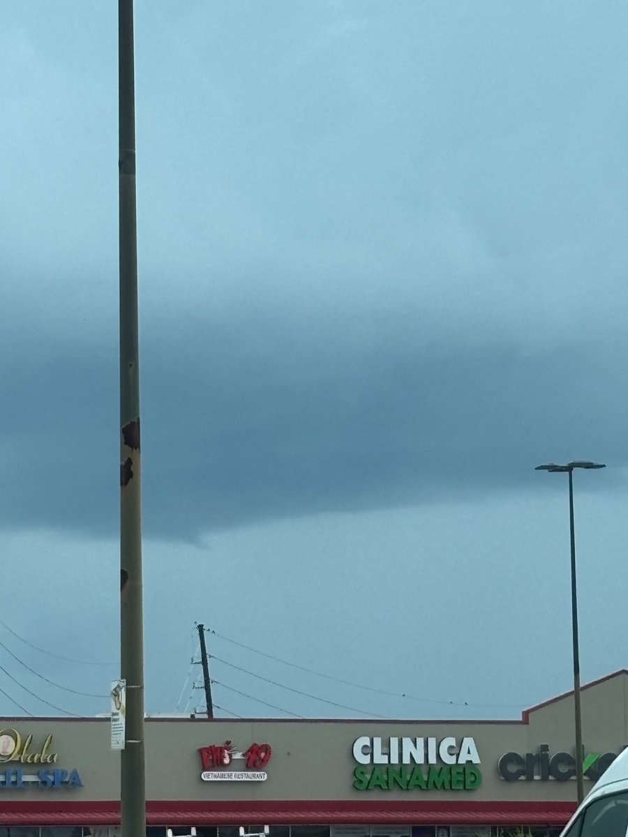
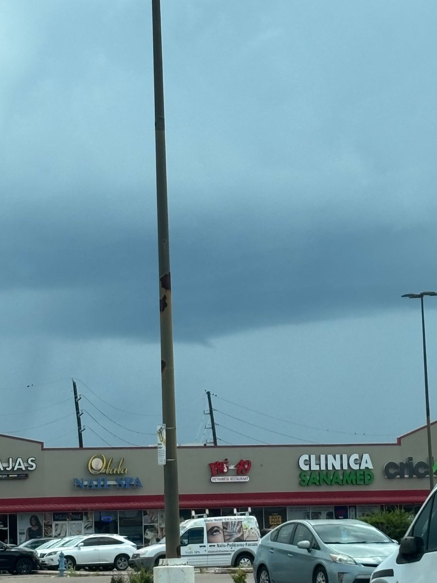
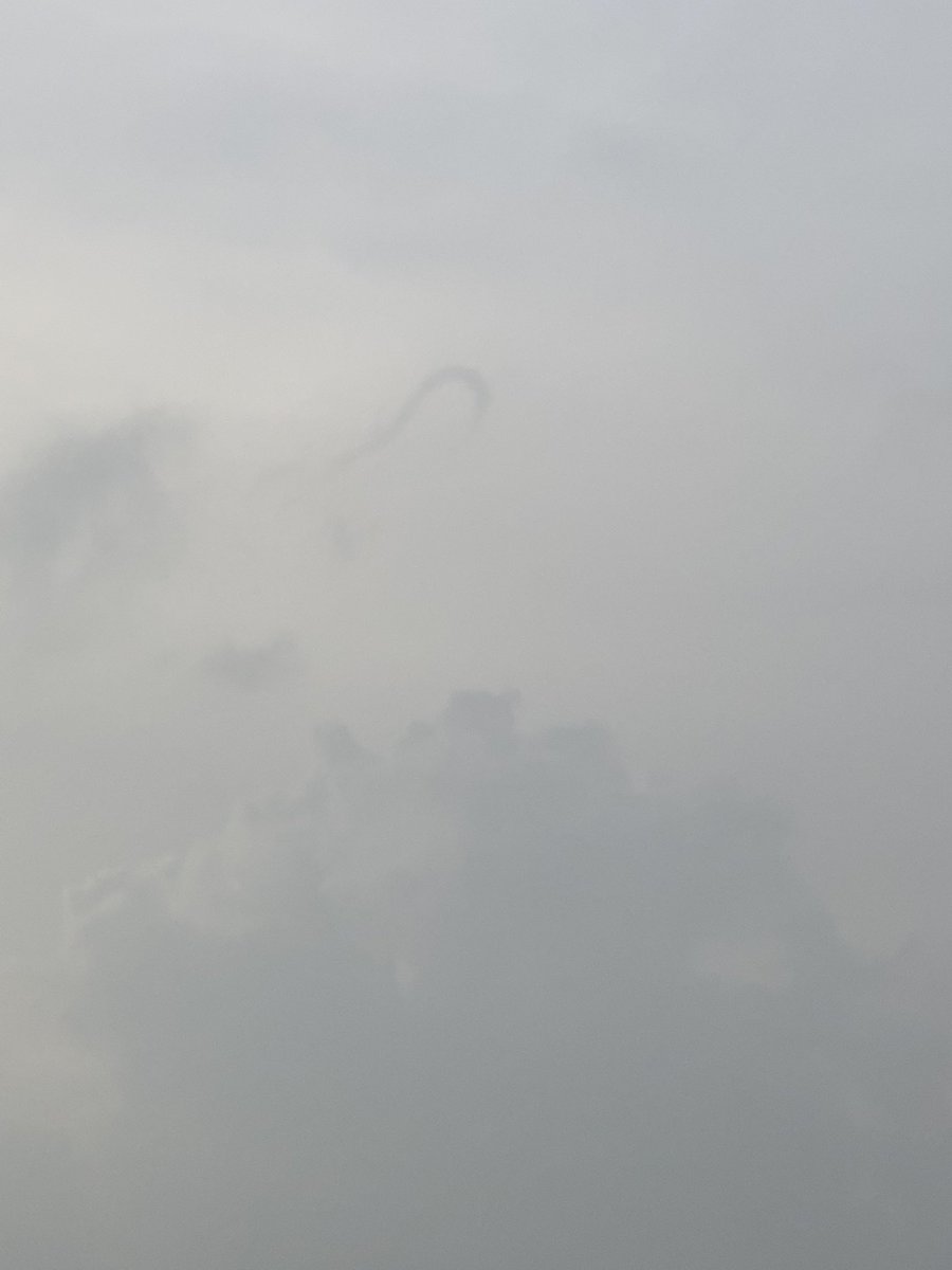
Possible Funnel Cloud from SW Harris County looking in the direction of a cell in Fort Bend County TX. #txwx #houwx @NWSHouston
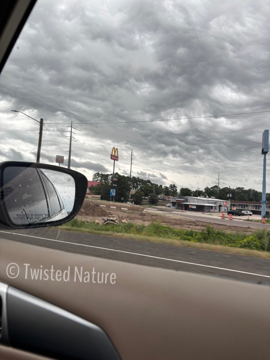
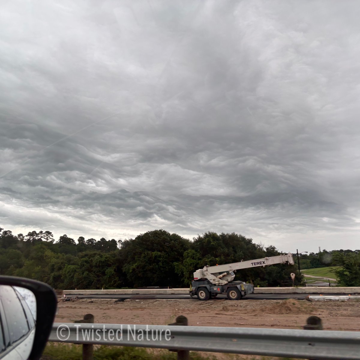
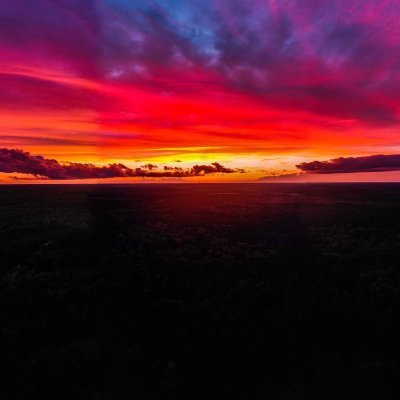
Captured these cool asperitas clouds while heading to Madisonville TX in Hunstville. @NWSHouston @mattlanza @spann @ReedTimmerUSA @TxStormChasers

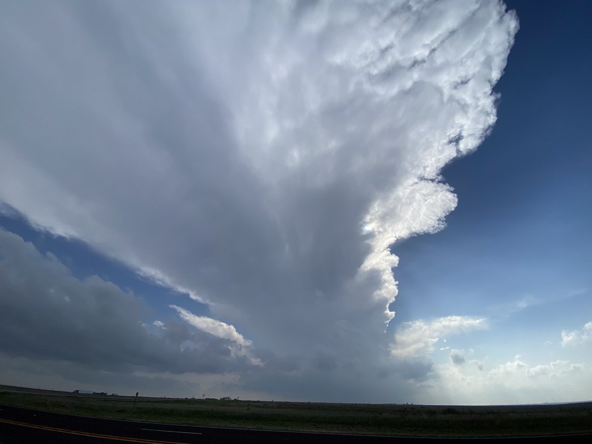
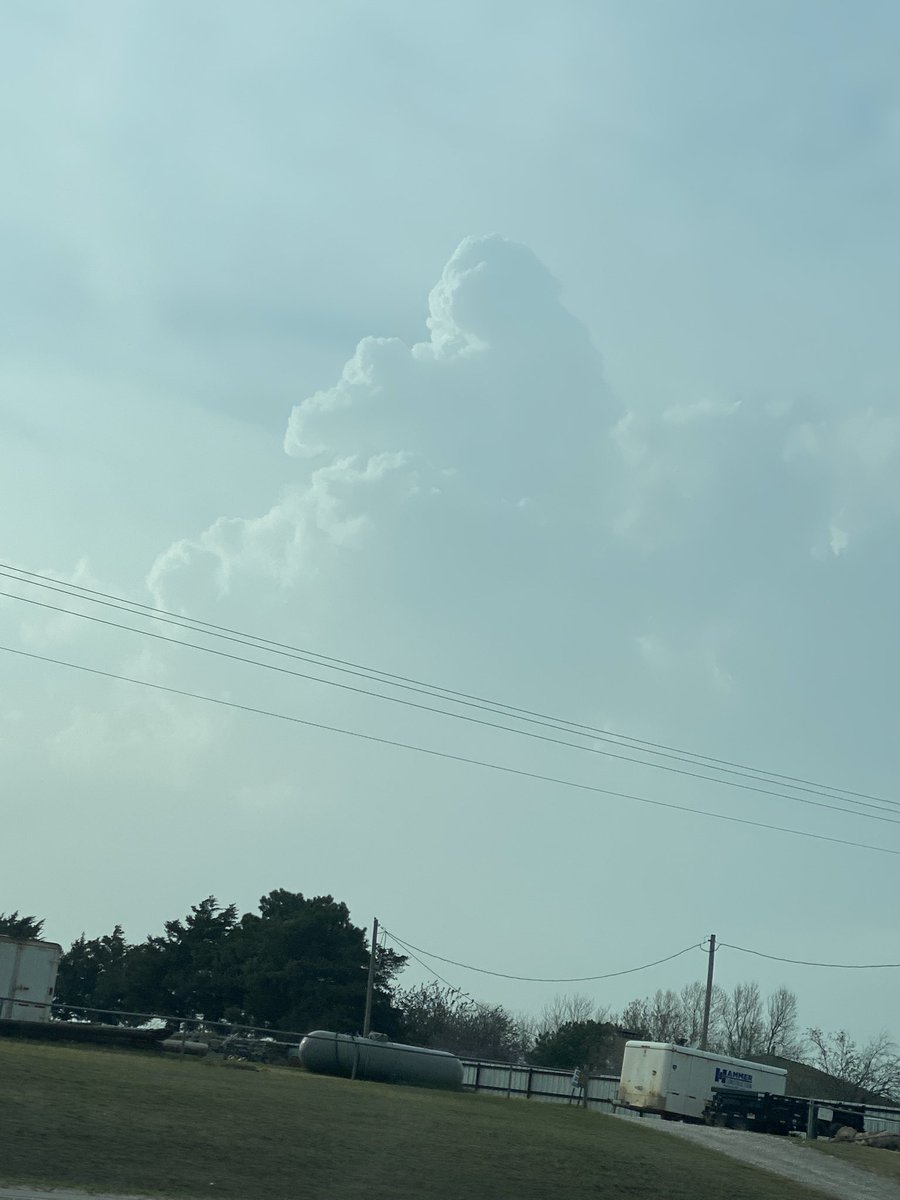
4:42 PM CDT. Had a very nice cone tornado. Has roped out since! Photo taken near Florence, TX. #txwx
Just woke up (literally) to a conditionally significant tornado threat here in west central OK for today. Gonna be interesting to see how this pans out! #okwx
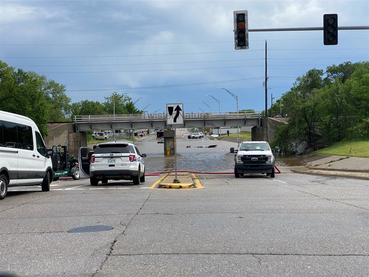
One truck completely submerged with a car stalled out in high waters south of the intersection of SW Railroad ST and SE D Ave in Lawton, OK. #okwx
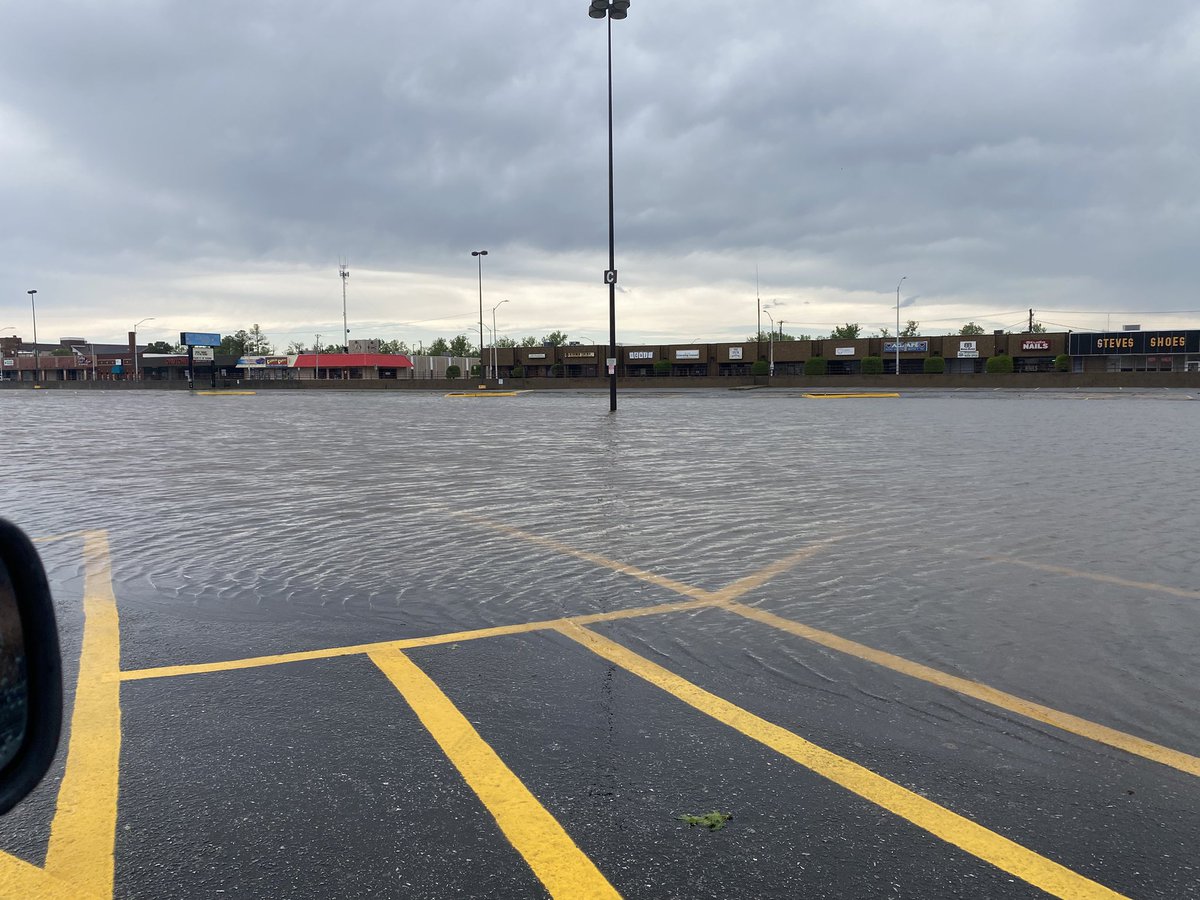
Still some remnant ponding in parking lots from heavy amounts of rainfall earlier this morning in Lawton, OK. #okwx

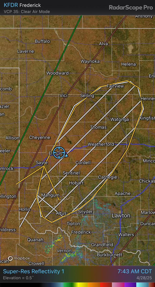
Wind driven hail in Lawton, OK. Biggest size so far has been about nickel size. Time 7:35 AM CDT. #okwx @NWSNorman
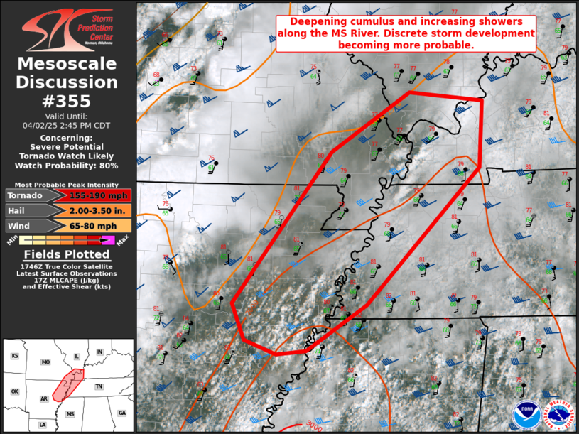
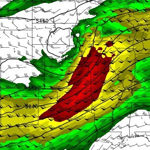
A PDS Tornado Watch coming soon with discrete storm development for this afternoon/evening.
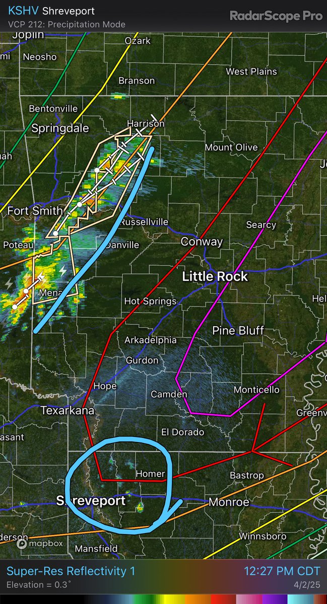
Sitting a bit east of Lonoke, AR watching two zones of activity. New potential development in NW LA and ongoing activity in western AR. #arwx
Just arrived in Oklahoma ahead of a potentially significant severe weather event this afternoon and evening. #okwx

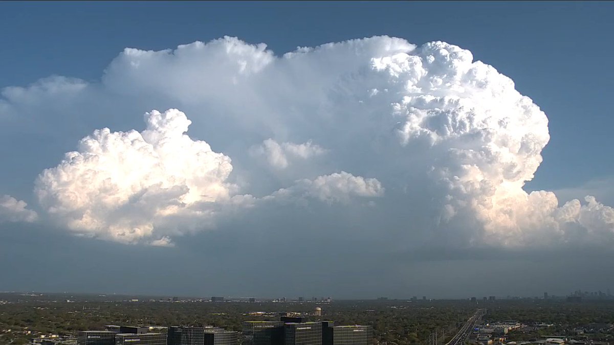
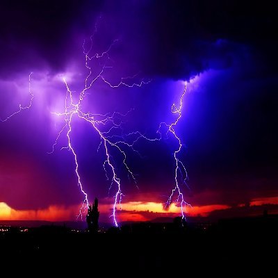
Massive thunderstorm that was warned for 2" hail over Dallas seen on live cam. #txwx Found camera here: fox4news.com/dallas-fort-wo…
Pretty wild to see winter related MCD’s this far south…


United States เทรนด์
- 1. #AEWFullGear 25.5K posts
- 2. Haney 22.1K posts
- 3. Benavidez 6,942 posts
- 4. Georgia Tech 4,835 posts
- 5. Haynes King 1,088 posts
- 6. #RiyadhSeason 15.8K posts
- 7. #TheRingIV 8,926 posts
- 8. Claudio 20.2K posts
- 9. Nebraska 22.2K posts
- 10. Darby 4,143 posts
- 11. Brian Norman 6,570 posts
- 12. Terry Smith 1,002 posts
- 13. Rhule 1,351 posts
- 14. Utah 20.6K posts
- 15. #Boxing 8,623 posts
- 16. Bandido 32.9K posts
- 17. Ricochet 2,833 posts
- 18. #Svengoolie 1,477 posts
- 19. Heupel N/A
- 20. Brodido 1,764 posts
Something went wrong.
Something went wrong.