#geospatialimaging search results

Ports use Maps and location intelligence dashboards to visualize terminal layouts, optimize yard management, and schedule ship movements.. 🗺️✨ Explore their benefits! #JapakGIS #GeospatialImaging #DronePhotography #DroneForGood #AerialSurveying #GeospatialDrone


📆 April 10, 10:15AM-11:15AM EST How do higher computational capacities & new #tech like #GeospatialImaging & #MachineLearning affect #evaluation practice? What new opportunities & risks do they present? Join us at the #FutureOfEvaluation wrld.bg/ucQe50R7Vq6

📆 IEG #MethodsWeek: Day 4⃣, #GeospatialImaging It is said that a picture is worth a thousand words. What are the millions of images gathered by satellites worth? Listen to the latest #evaluation podcast episode on the potential of #geospatial analysis: bit.ly/3KGWB5X

Explore bureaucracy & innovation in #insurance with Rachel Olney of @GeositeInc ! 🌐 Dive into measurable impacts & positive change! 🔗 bit.ly/46BhZTb #insurtech #geospatialimaging #digitaltransformation
📆 IEG #MethodsWeek: Day 4⃣, #GeospatialImaging #Geospatial analysis can be a critical tool in identifying the geographic impact of #development interventions. Learn how IEG used geospatial data in evaluating two urban development projects: bit.ly/4ehEFfN #evaluation

📆 IEG #MethodsWeek: Day 4⃣, #GeospatialImaging Poverty maps are vital in helping direct #development efforts where they are needed the most. How do new data sources help? Check out IEG’s Methods paper on #povertymapping to find out: bit.ly/3KAXBZm

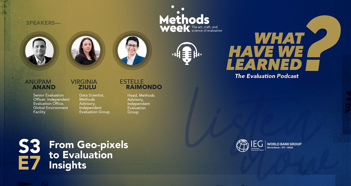
📆 IEG #MethodsWeek: Day 4⃣, #GeospatialImaging How can #imagery data help evaluators identify & understand the geographical impact of #dev interventions? What are the challenges & opportunities in integrating imagery data in #evaluation? Find out: bit.ly/4cgRtRF


Such a gloriously beautiful satellite view of Provence France! Want more great satellite imagery? Visit our Image Hunter tool at imagehunter.apollomapping.com #satelliteimagerycollections #ImageHunter #GeospatialImaging #GeoSpatialMapping #AerialImagery


🌍 Check out this stunning satellite imagery of the Kenya coastline! Dive into our Image Hunter tool for more breathtaking geospatial visuals. Explore the beauty from above! imagehunter.apollomapping.com #SatelliteImagery #GeospatialImaging #KenyaCoastline

🌍 Check out this stunning satellite imagery of the Kenya coastline! Dive into our Image Hunter tool for more breathtaking geospatial visuals. Explore the beauty from above! imagehunter.apollomapping.com #SatelliteImagery #GeospatialImaging #KenyaCoastline
Such a gloriously beautiful satellite view of Provence France! Want more great satellite imagery? Visit our Image Hunter tool at imagehunter.apollomapping.com #satelliteimagerycollections #ImageHunter #GeospatialImaging #GeoSpatialMapping #AerialImagery
📆 IEG #MethodsWeek: Day 4⃣, #GeospatialImaging It is said that a picture is worth a thousand words. What are the millions of images gathered by satellites worth? Listen to the latest #evaluation podcast episode on the potential of #geospatial analysis: bit.ly/3KGWB5X
📆 April 10, 10:15AM-11:15AM EST How do higher computational capacities & new #tech like #GeospatialImaging & #MachineLearning affect #evaluation practice? What new opportunities & risks do they present? Join us at the #FutureOfEvaluation wrld.bg/ucQe50R7Vq6
Ports use Maps and location intelligence dashboards to visualize terminal layouts, optimize yard management, and schedule ship movements.. 🗺️✨ Explore their benefits! #JapakGIS #GeospatialImaging #DronePhotography #DroneForGood #AerialSurveying #GeospatialDrone
📆 IEG #MethodsWeek: Day 4⃣, #GeospatialImaging #Geospatial analysis can be a critical tool in identifying the geographic impact of #development interventions. Learn how IEG used geospatial data in evaluating two urban development projects: bit.ly/4ehEFfN #evaluation
📆 IEG #MethodsWeek: Day 4⃣, #GeospatialImaging Poverty maps are vital in helping direct #development efforts where they are needed the most. How do new data sources help? Check out IEG’s Methods paper on #povertymapping to find out: bit.ly/3KAXBZm
📆 IEG #MethodsWeek: Day 4⃣, #GeospatialImaging How can #imagery data help evaluators identify & understand the geographical impact of #dev interventions? What are the challenges & opportunities in integrating imagery data in #evaluation? Find out: bit.ly/4cgRtRF
Such a gloriously beautiful satellite view of Provence France! Want more great satellite imagery? Visit our Image Hunter tool at imagehunter.apollomapping.com #satelliteimagerycollections #ImageHunter #GeospatialImaging #GeoSpatialMapping #AerialImagery
🌍 Check out this stunning satellite imagery of the Kenya coastline! Dive into our Image Hunter tool for more breathtaking geospatial visuals. Explore the beauty from above! imagehunter.apollomapping.com #SatelliteImagery #GeospatialImaging #KenyaCoastline
Something went wrong.
Something went wrong.
United States Trends
- 1. Veterans Day 208K posts
- 2. Veterans Day 208K posts
- 3. Luka 69.3K posts
- 4. Nico 111K posts
- 5. Mavs 24.8K posts
- 6. #csm220 3,728 posts
- 7. Kyrie 5,908 posts
- 8. Gambit 19.5K posts
- 9. Dumont 19.4K posts
- 10. Wike 46.8K posts
- 11. #MFFL 2,015 posts
- 12. Arlington National Cemetery 8,385 posts
- 13. Vets 19.3K posts
- 14. Mantis 3,096 posts
- 15. Venom 16.8K posts
- 16. United States Armed Forces 1,428 posts
- 17. Made in China 4,655 posts
- 18. Wanda 21.3K posts
- 19. Armistice Day 17.6K posts
- 20. Mavericks 28.1K posts