#ogcapi search results

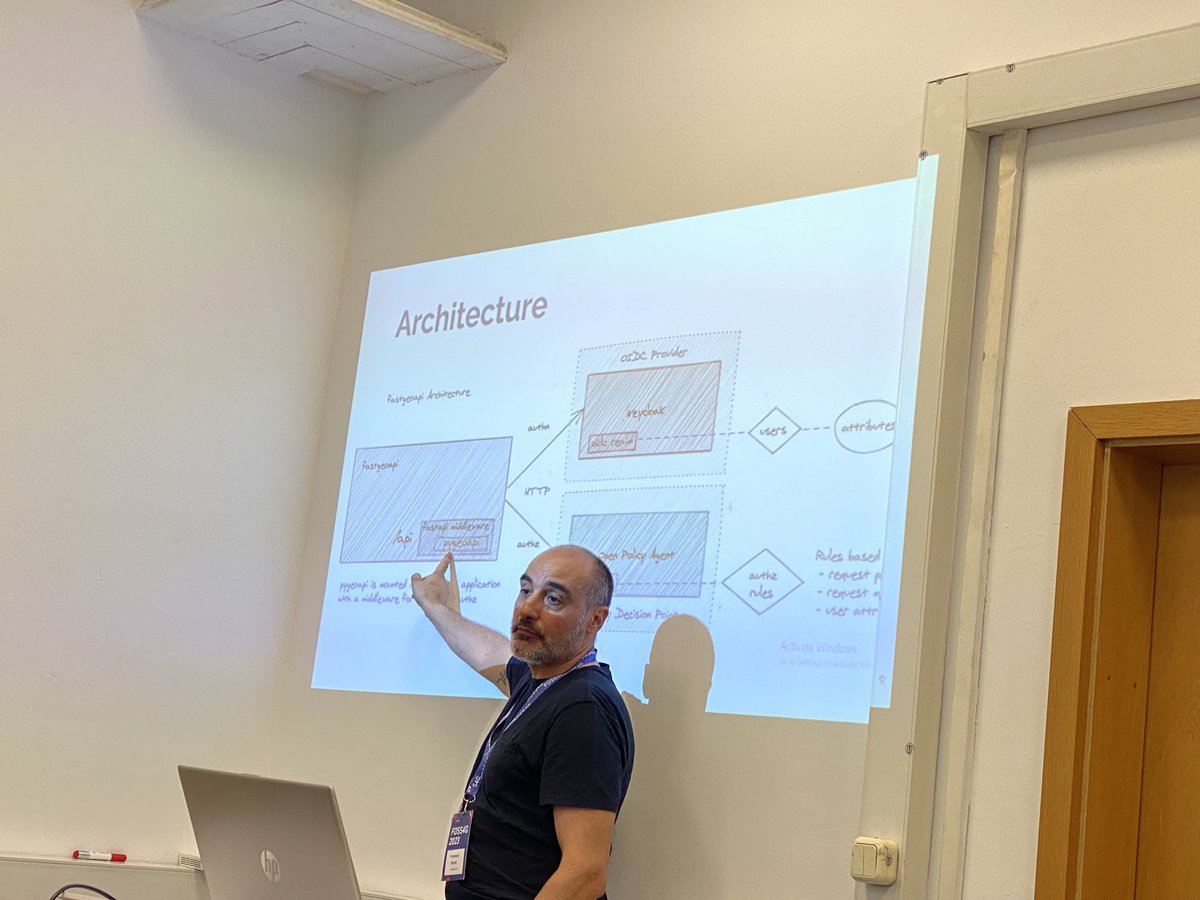

Diving into pygeoapi workshop success! Thanks to all the participants! Thanks as well to this year’s delivery team: @francbartoli @pvgenuchten @kalxas @justb4 @tomkralidis #foss4g2023 #ogcapi

Paweł Soczewski, nasz ekspert, przedstawi usługę OGC API-Features w ramach seminarium „Zastosowanie norm ISO w specyfikacjach Krajowej Infrastruktury Informacji Przestrzennej”. Wystąpienie już jutro (19.05): iiip.com.pl/konferencja202… #openspatialdata #OGCAPI #GIS


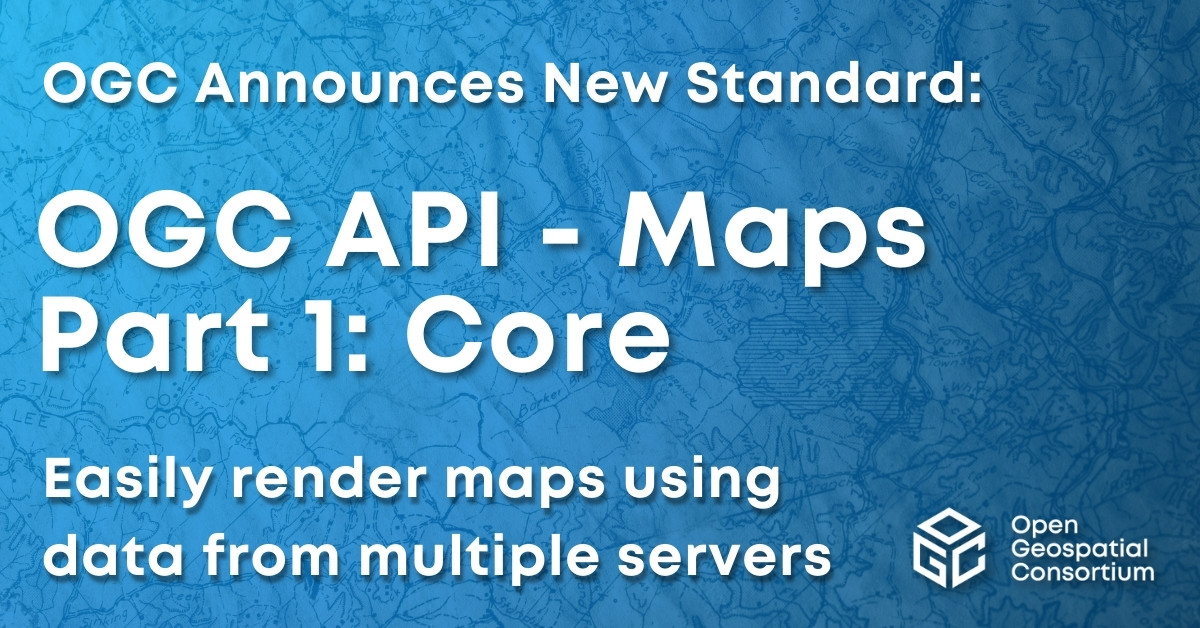
Excited to announce that the OGC Membership has approved OGC API - Maps - Part 1: Core as an official OGC Standard. Learn more here: ogc.org/press-release/… #OGCAPI #Standard
Excited to announce OGC API - Features - Part 3: Filtering as a new OGC Standard. Part 3 that adds advanced filtering functionality (using CQL2) to OGC API - Features. Learn more at: ogc.org/press-release/… #OGCAPI #Standard

Requesting public comment on OGC API – Records – Part 1: Core. The new #OGCAPI makes geospatial resources Findable by standardizing the way that collections of descriptive information (#metadata) about the resources is exposed bit.ly/3Vmw9EJ

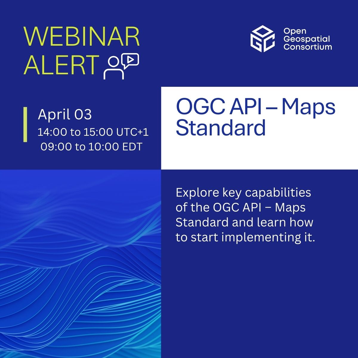
Join our webinar on #OGCAPI – Maps! Discover how it powers web-based map & tile requests with #OpenAPI & modern tech, advancing WMS & WMTS. 📅 April 3, 2025 | ⏰ 14:00–15:00 UTC+1 🎙️ Joan Masó | Jérôme Jacovella-St-Louis | Gobe Hobona Register now! zurl.co/BHC1i
✨ New standard alert! #OGCAPI – Moving Features – Part 1: Core makes it easier to manage geospatial data for moving entities - vehicles, weather patterns, and more! Huge value for apps in #Transportation, #DisasterResponse, or #EnvironmentalMonitoring zurl.co/VFaQs


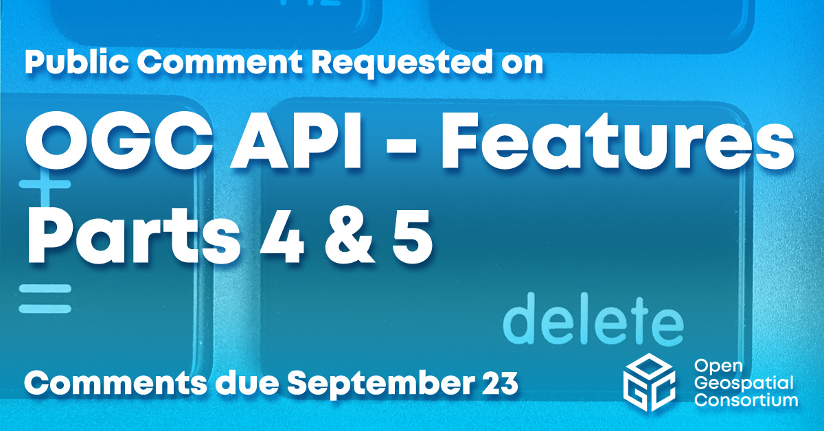
Requesting public comment on #OGCAPI – Features – Parts 4 & 5. Part 4 defines API building blocks that allow geospatial resources to be added to, replaced, modified and/or removed; while Part 5 specifies how to describe data using a logical schema bit.ly/3zpE9MG
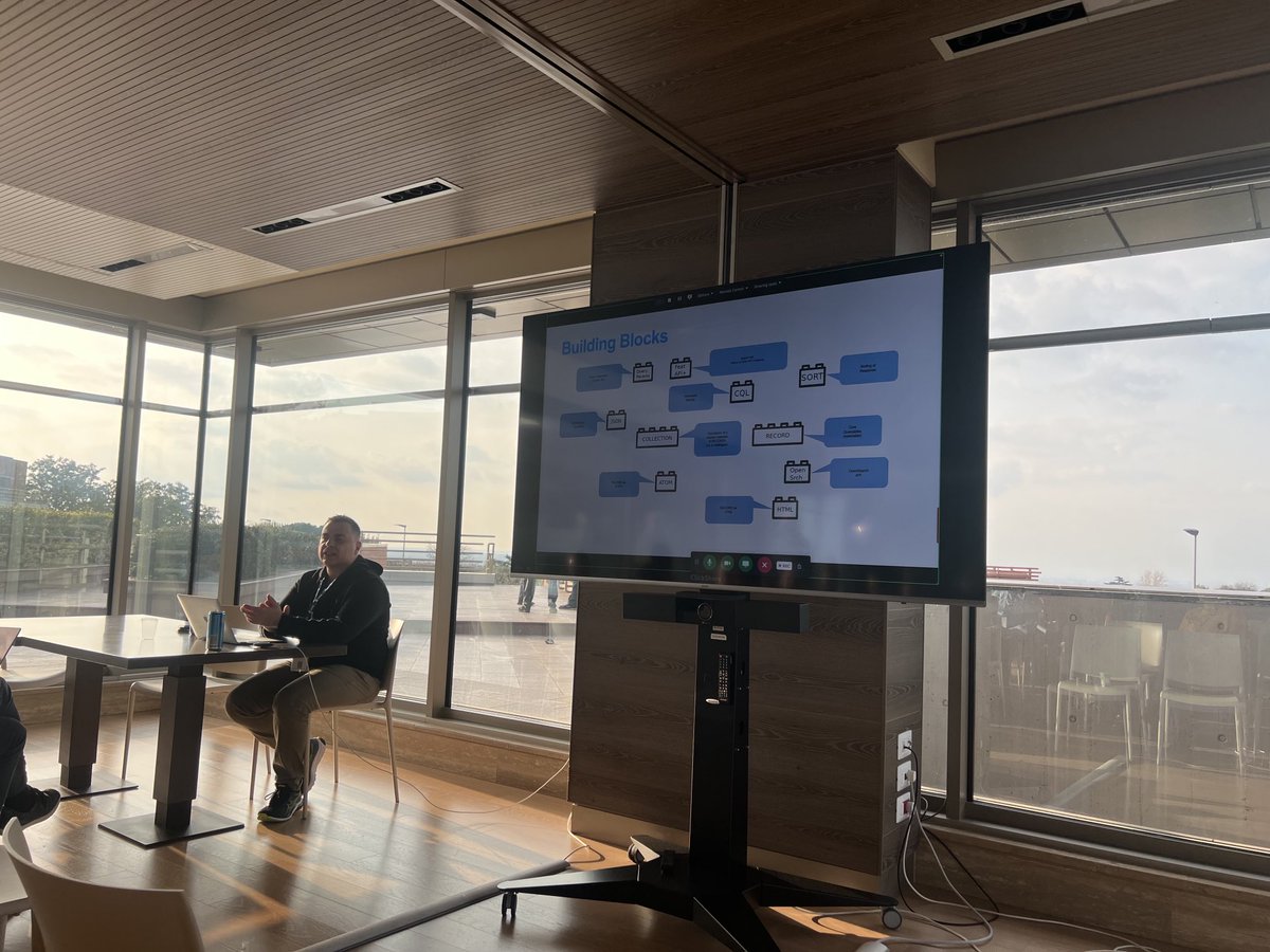
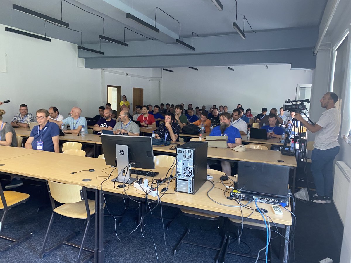
The audience during the pygeoapi project status. Presentation can be found at pygeoapi.io/presentations/… #foss4g2023 #ogcapi
Developers are invited to the OGC Metadata Code Sprint, Nov 18-19, in Sydney and online. The Sprint will focus on various OGC and ISO metadata standards using the #OGCAPI family of Standards, as well as the GeoDCAT semantic model for dataset descriptions: zurl.co/Qso8


Recuerda, el próximo viernes 🗓️ 10 de octubre a las 3:00 PM (UTC) se realizará un seminario web sobre #OGCAPI – Records. Más información y registro events.ogc.org/OGCAPI-Records… @opengeospatial

OGC solicita comentarios sobre OGC API – Records Part 1: Core. La nueva #OGCAPI permite el descubrimiento de recursos geoespaciales, al estandarizar la forma en que se exponen las colecciones de información descriptiva (#metadata) sobre los recursos.
Requesting public comment on OGC API – Records – Part 1: Core. The new #OGCAPI makes geospatial resources Findable by standardizing the way that collections of descriptive information (#metadata) about the resources is exposed bit.ly/3Vmw9EJ
Del 20 al 22 de octubre se realizará un OGC Open Standards #CodeSprint en Rotterdam (Netherlands) y en modalidad virtual. El 9 de octubre a las 09:00 UTC+2 se realizará un webinar de orientación. Para más información e inscripción events.ogc.org/OGCOpenStandar… #OGCAPI

Recuerda, hoy a las 3:00 PM (UTC) se realizará un seminario web sobre #OGCAPI – Records Más información y registro events.ogc.org/OGCAPI-Records… @opengeospatial

🆕Nuevos servicios de descarga de objetos geográficos (OGC API - Features) 🥳 El CNIG ha publicado los conjuntos de datos del SCNE y del @IGNSpain a través de 2 servicios web con el nuevo estándar OGC API - Features @pygeoapi @opengeospatial 👉#BlogIDEE: blog-idee.blogspot.com/2023/05/nuevos…
Del 18 al 19 de noviembre se realizará el OGC Metadata Code Sprint en Sydney y en modalidad virtual. El sprint tratará varios estándares de metadatos OGC e ISO utilizando la familia de estándares #OGCAPI, así como el modelo semántico GeoDCAT. zurl.co/Qso8
ogc.org
OGC Metadata Code Sprint | Nov 2024 | Advancing Standards
Join the November 2024 OGC Metadata Code Sprint to enhance geospatial metadata standards.
Developers are invited to the OGC Metadata Code Sprint, Nov 18-19, in Sydney and online. The Sprint will focus on various OGC and ISO metadata standards using the #OGCAPI family of Standards, as well as the GeoDCAT semantic model for dataset descriptions: zurl.co/Qso8
El próximo 3 de abril tendrá lugar un seminario web sobre #OGCAPI – Maps. Discover how it powers web-based map & tile requests with #OpenAPI & modern tech, advancing WMS & WMTS. Ponentes: Joan Masó , Jérôme Jacovella-St-Louis y Gobe Hobona Inscripción: zurl.co/BHC1i
events.ogc.org
OGC API – Maps Standard
OGC API – Maps Standard
Join our webinar on #OGCAPI – Maps! Discover how it powers web-based map & tile requests with #OpenAPI & modern tech, advancing WMS & WMTS. 📅 April 3, 2025 | ⏰ 14:00–15:00 UTC+1 🎙️ Joan Masó | Jérôme Jacovella-St-Louis | Gobe Hobona Register now! zurl.co/BHC1i
Diving into pygeoapi workshop success! Thanks to all the participants! Thanks as well to this year’s delivery team: @francbartoli @pvgenuchten @kalxas @justb4 @tomkralidis #foss4g2023 #ogcapi
Paweł Soczewski, nasz ekspert, przedstawi usługę OGC API-Features w ramach seminarium „Zastosowanie norm ISO w specyfikacjach Krajowej Infrastruktury Informacji Przestrzennej”. Wystąpienie już jutro (19.05): iiip.com.pl/konferencja202… #openspatialdata #OGCAPI #GIS
Excited to announce that the OGC Membership has approved OGC API - Maps - Part 1: Core as an official OGC Standard. Learn more here: ogc.org/press-release/… #OGCAPI #Standard
Excited to announce OGC API - Features - Part 3: Filtering as a new OGC Standard. Part 3 that adds advanced filtering functionality (using CQL2) to OGC API - Features. Learn more at: ogc.org/press-release/… #OGCAPI #Standard
The audience during the pygeoapi project status. Presentation can be found at pygeoapi.io/presentations/… #foss4g2023 #ogcapi
Requesting public comment on OGC API – Records – Part 1: Core. The new #OGCAPI makes geospatial resources Findable by standardizing the way that collections of descriptive information (#metadata) about the resources is exposed bit.ly/3Vmw9EJ
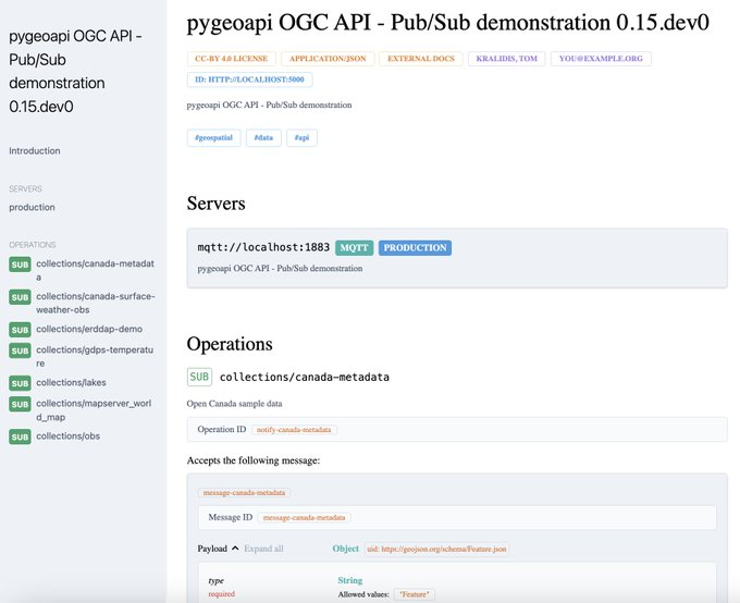
Seeking public comment on the OGC API - Environmental Data Retrieval - Part 2: Publish-Subscribe Workflow Standard, which provide a basis for Publish-Subscribe implementation patterns within the #OGCAPI ecosystem. Comments due March 30 bit.ly/4bXx3Oe

Join our webinar on #OGCAPI – Maps! Discover how it powers web-based map & tile requests with #OpenAPI & modern tech, advancing WMS & WMTS. 📅 April 3, 2025 | ⏰ 14:00–15:00 UTC+1 🎙️ Joan Masó | Jérôme Jacovella-St-Louis | Gobe Hobona Register now! zurl.co/BHC1i
✨ New standard alert! #OGCAPI – Moving Features – Part 1: Core makes it easier to manage geospatial data for moving entities - vehicles, weather patterns, and more! Huge value for apps in #Transportation, #DisasterResponse, or #EnvironmentalMonitoring zurl.co/VFaQs
Seeking public comment on the adoption of OGC API - Maps - Part 1: Core Candidate Standard. #OGCAPI - Maps defines web APIs that can serve spatially referenced static or dynamic maps in a manner independent of the underlying data store bit.ly/3UqsSnP
Requesting public comment on #OGCAPI – Features – Parts 4 & 5. Part 4 defines API building blocks that allow geospatial resources to be added to, replaced, modified and/or removed; while Part 5 specifies how to describe data using a logical schema bit.ly/3zpE9MG
Developers are invited to the OGC Metadata Code Sprint, Nov 18-19, in Sydney and online. The Sprint will focus on various OGC and ISO metadata standards using the #OGCAPI family of Standards, as well as the GeoDCAT semantic model for dataset descriptions: zurl.co/Qso8
Something went wrong.
Something went wrong.
United States Trends
- 1. Cheney 62.3K posts
- 2. Election Day 92.4K posts
- 3. Logan Wilson 5,422 posts
- 4. Good Tuesday 33.3K posts
- 5. GO VOTE 78.1K posts
- 6. Iraq 50.3K posts
- 7. #tuesdayvibe 1,861 posts
- 8. Cuomo 227K posts
- 9. New Jersey 167K posts
- 10. Rolex 16.7K posts
- 11. Virginia 178K posts
- 12. Taco Tuesday 9,801 posts
- 13. PUEBLO GARANTIZA LA PAZ 1,478 posts
- 14. Jerry 45.3K posts
- 15. Alex Karp 6,744 posts
- 16. Halliburton 3,046 posts
- 17. For a 7th 10.8K posts
- 18. VOTE TODAY 60.7K posts
- 19. George W. Bush 10.6K posts
- 20. #tuesdaymotivations 1,093 posts