
Caleb Sensor
@CalebSensor
surveyor | Geospatial engineer | chess player~
قد يعجبك


10 Books That Will Make You A Master Communicator In 2023 1)

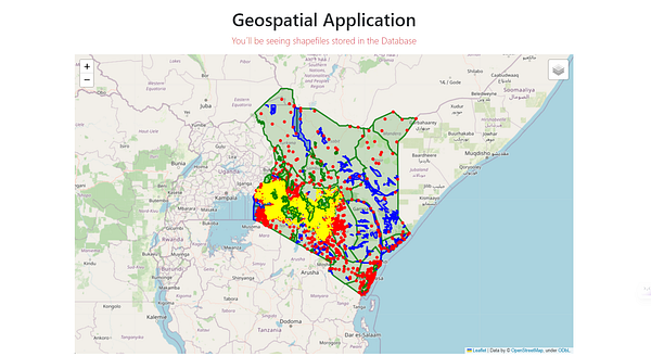
I just published: "Building Geospatial web applications using Python with Django Framework". You can follow the tutorial here and try it out too #gischat #Python : link.medium.com/xhHa01akQAb


For surveyors and interested persons in my network: I am working on something here, and I thought you could help me beta test it as I continue to build it. cassini.optimumgeospatial.co.ke #Surveying #GIS #mapping

Hesgoal domain has been seized by Law enforcement. Wametuzimia reggae. 😂


1. RESTORE trust 2. REBUILD economy 3. REUNITE the country

We are keen on operationalizing a Geographic Information System (GIS) to digitize and integrate data on land, healthcare, agriculture, tourism, and operations. This will enhance service delivery, policy formulation, and implementation. 1/2


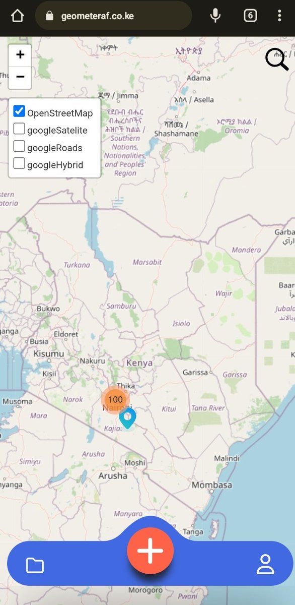
Are you a surveyor or geospatial engineer working with survey pillars? Or do you carry out surveying tied to the national grid. We have a crowd sourcing app for survey pillars all over the country. geometeraf.co.ke #landsurvey #geospatial by @Henriod93

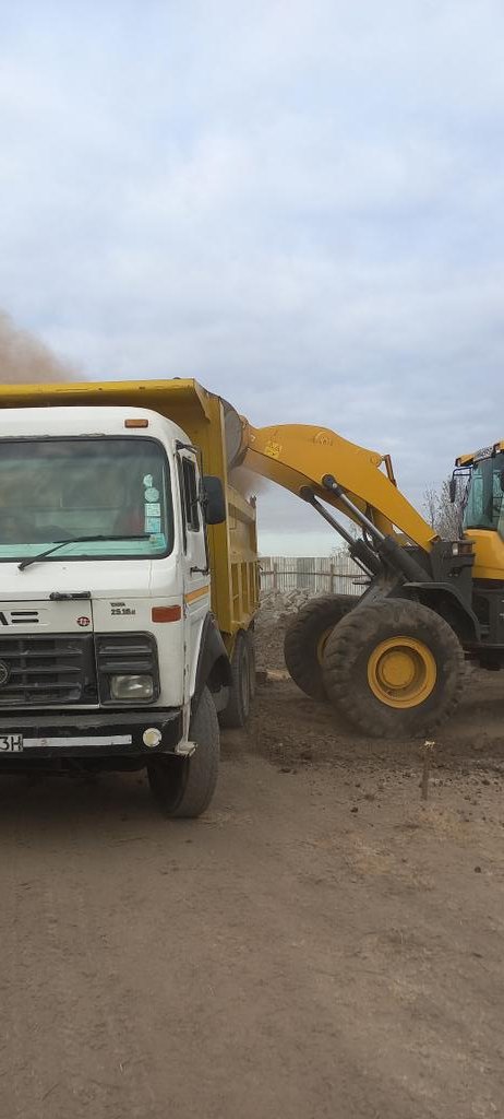
Thread ya vile kazi inaendelea. 1. Mass excavation.

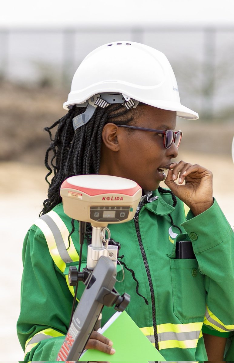
I got mad respect for Engineering Surveyors They carry the whole Project on their shoulders, especially during Construction phase They need to be celebrated more

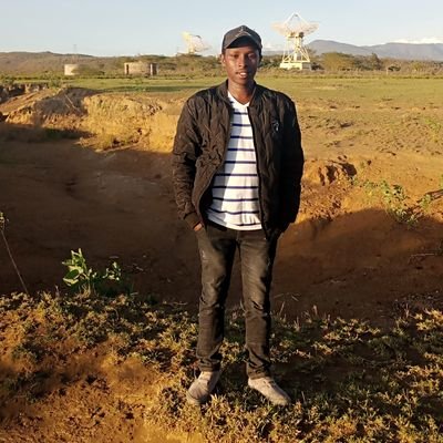
Diaries of an engineering surveyor. Isn't Engineering Survey wonderful? Instant/tangible results of your surveying work. Some site moments though, require you to stop and reflect. #Surveylife

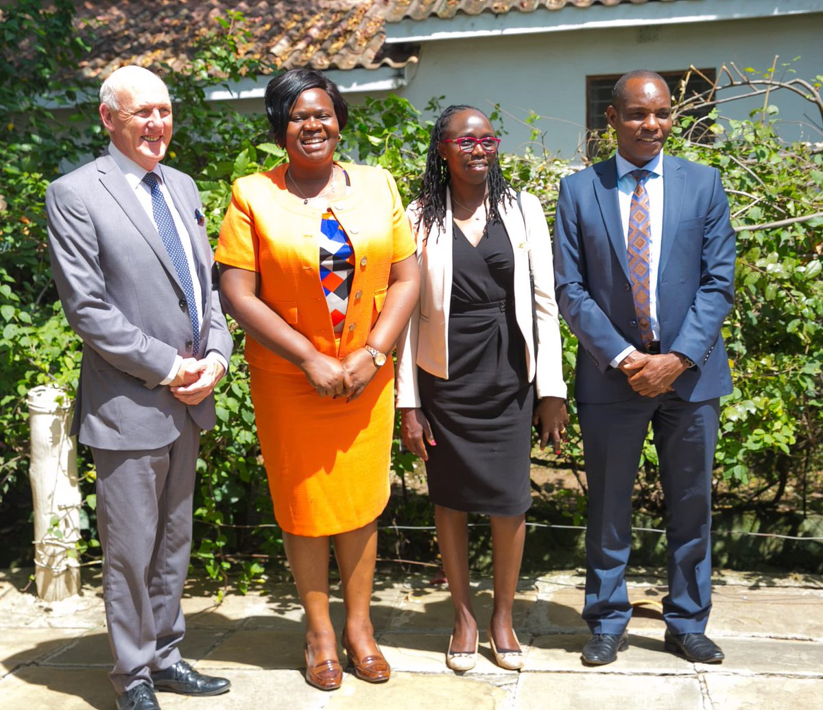
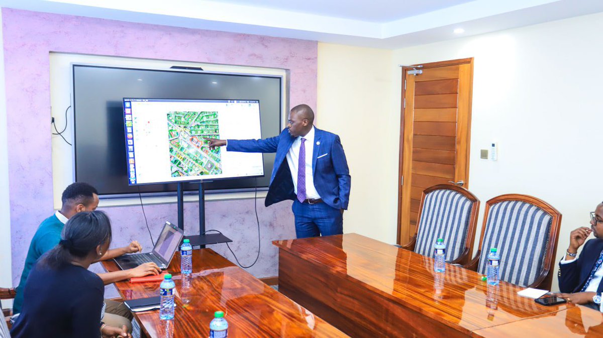
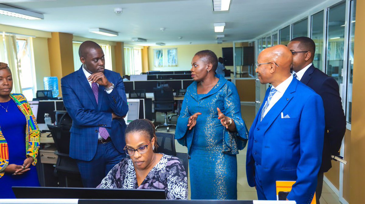
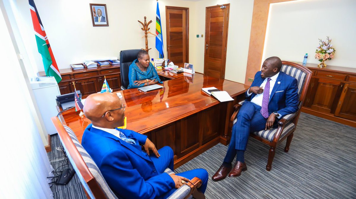
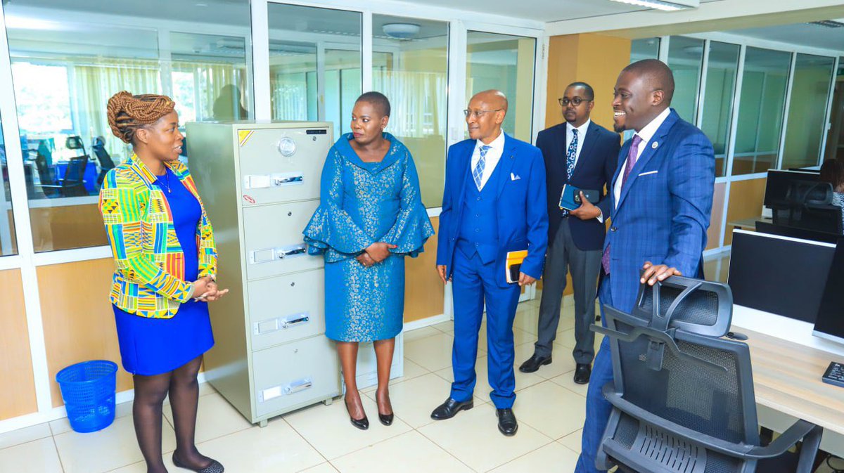
Asante CS @Faridakaroney and your team at the Lands Ministry. We will work together to fast track the titling program in the coming weeks as well as partner in the use of the Nairobi GIS Cadastral Mapping for planning, data and enhanced revenues. Great work at ArdhiSasa

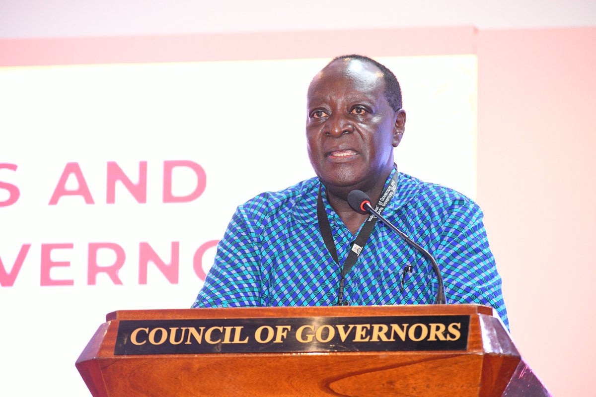
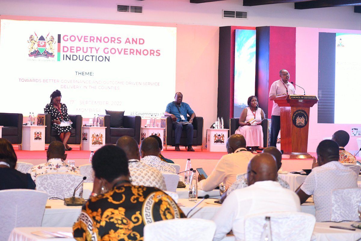
GIS application in Health Management includes; ☑️Mapping & classification of health facilities using satellite data & ground personnel ☑️M&E of ongoing health projects #GovernorsInduction

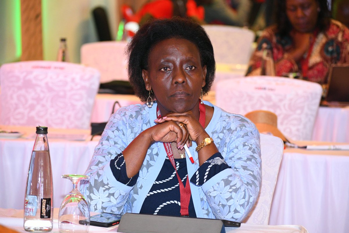
GIS is a critical system for data collection. The data from the GIS System can be used for County planning in all sectors. #GovernorsInduction


United States الاتجاهات
- 1. Good Saturday 23.8K posts
- 2. Delap 8,124 posts
- 3. Gittens 5,360 posts
- 4. Burnley 29K posts
- 5. #askdave N/A
- 6. Neto 16.3K posts
- 7. #SaturdayVibes 3,479 posts
- 8. Tosin 7,539 posts
- 9. #BURCHE 11.7K posts
- 10. Chalobah 3,555 posts
- 11. Caturday 4,252 posts
- 12. #SaturdayMotivation 2,825 posts
- 13. #LingOrm3rdMeetMacauD1 558K posts
- 14. LINGORM MACAU MEET D1 552K posts
- 15. Maresca 16.4K posts
- 16. Somali 82.2K posts
- 17. The View 98.3K posts
- 18. IT'S GAMEDAY 1,639 posts
- 19. John F. Kennedy 2,518 posts
- 20. Marjorie Taylor Greene 86.5K posts
قد يعجبك
-
 Dr. Chumba Emmanuel
@_Turmate -
 kijana_Kuki ☠️
@Kuki_motoh -
 The Don 🇰🇪
@blvck_Kng -
 Hamo
Hamo
@Freely254 -
 Ronald Reagan
@ReaganGustavo -
 shafy lekan
@kingshafy -
 kun
kun
@kun_allano -
 Ms. T
Ms. T
@temesi_r -
 Dr Ring Ding
@J_Mbidhy -
 Engineer S
@_Ellahse -
 Gatanga Finest
@prince_ericko -
 tha_richiee
@nanayawjnr_xx -
 @Ⓜ️WatilabrianN
@dre_ibra -
 Stevo
Stevo
@steve_Mgm -
 Nowis
Nowis
@Simon_Wasike_
Something went wrong.
Something went wrong.