
Final Draft Mapping
@_geospatiality
Geospatial Professional sharing knowledge related to ArcGIS Pro, ArcGIS Online, ArcPy, and the ArcGIS API for Python. Automating my way to retirement!!
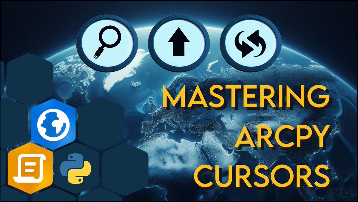
Free #ArcPy course: Master ArcPy Search, Insert, and Update Cursors with #ArcGISPro youtube.com/playlist?list=…
List Excel File Sheet Names as an Input Parameter for Custom tools in #ArcGISPro with #ArcPy & #Pandas learn.finaldraftmapping.com/list-excel-fil…

Happy GIS Day! Here's a free course all about using ArcPy and Definition Queries in #ArcGISPro youtube.com/playlist?list=…

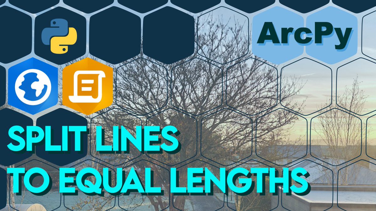
Create Rectangle Buffers for Point Features in #ArcGISPro Using #ArcPy learn.finaldraftmapping.com/create-rectang…

How to check if an #ArcGISOnline Feature Service is a View Layer with the #ArcGISAPIforPython learn.finaldraftmapping.com/how-to-check-i…

Convert #ArcGISOnline Epoch Time to DD/MM/YYYY or other format using the #ArcGISAPIforPython learn.finaldraftmapping.com/convert-arcgis…

Merge multiple CSV files and create a point feature class in #ArcGISPro with #ArcPy youtu.be/Up7eUtS9Y-8

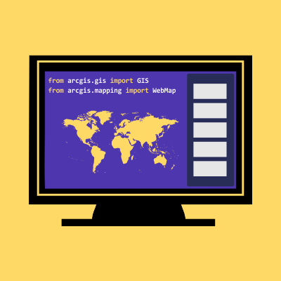
Create a WebMap in #ArcGISOnline with the ArcGIS API for Python. One of our most visited blog posts! learn.finaldraftmapping.com/create-a-webma…

PostGIS Day 2025 is almost here! Next week, November 20 (that's the day after GIS Day), over 20 talks about our favourite spatial database. Sign up now, there's a finite number of webinar slots and an infinite about of interest! snowflake.com/postgis-day-20…

Save Geography at the University of Leicester - Sign the Petition! c.org/x22jmM2Gpb via @Change

Label Features in ArcGIS Online Web Maps Using the ArcGIS API for Python | Step-by-Step Tutorial youtu.be/SJELQtH-il0 #ArcGISAPIforPython #ArcGISOnline #ArcGIS

What can we do to create more value from geospatial data? @OrdnanceSurvey increasingly making geospatial data openly available since 2010 #ODISummit


New tutorial series for GIS professionals: “How Do I Do That In #FME?” Learn which FME transformers to use to accomplish 38 common #GIS tasks. buff.ly/2Ny57UT @SafeSoftware

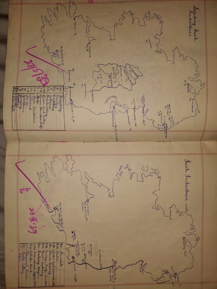
More maps drawn by my grandad in 1939 depicting the leading Irish industries at the time @IrishEconAssoc @IDAIRELAND #1939 #beforeGIS
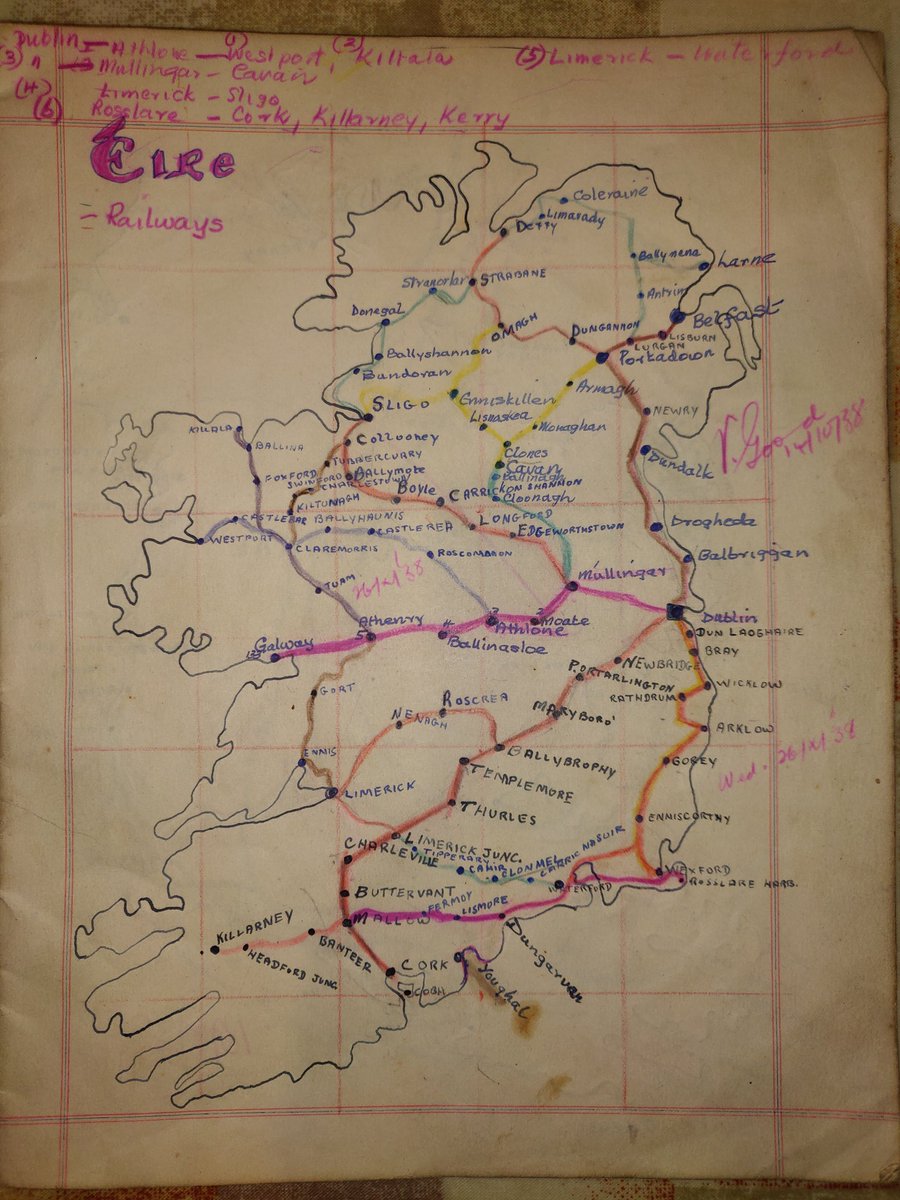
A map drawn by my grandad in 1939 as schoolwork showing the Irish railway network @IrishRail #beforeGIS
Fantastic Career Opportunities now on offer with IMGS. Roles include Part-time IT Project Manager, GIS Technician & IT Graduate. Click the link for full details for each role. buff.ly/2otPEvn #jobfairy #ITJobs


This year's #GISdayCampus2017 register your place here eventbrite.com/e/gisday-campu… … … @ArupUKMEA @STEMWorcsUni #GIS #gisday #GISdayCampus

OSGP: Create Chainage Ticks at Specified Distance Intervals wp.me/p6pIB3-dg #Python #OGR #Shapely #GIS

Open Source Geospatial Python: Create points along a line at a specified distance interval. #Python #OGR #Shapely wp.me/p6pIB3-db


![ShellKell47's profile picture. Location Intelligence🗺️| Environment 🌱| Planning 🌆 [ Opinions my own ]](https://pbs.twimg.com/profile_images/3237388796/763d79176f2d962573d8d680ef4bc838.jpeg)


![astramartynova's profile picture. [I love fitness. No fat chicks!]](https://pbs.twimg.com/profile_images/726506021036896256/bAzhBYrs.jpg)


United States Trends
- 1. Happy Thanksgiving Eve 1,989 posts
- 2. Good Wednesday 23K posts
- 3. Luka 66.9K posts
- 4. #DWTS 98.3K posts
- 5. Lakers 52.2K posts
- 6. Clippers 19.3K posts
- 7. Jim Mora 1,134 posts
- 8. Robert 144K posts
- 9. Colorado State 2,773 posts
- 10. Kris Dunn 2,978 posts
- 11. Nuns 6,479 posts
- 12. #LakeShow 3,632 posts
- 13. Collar 47.2K posts
- 14. Kawhi 6,658 posts
- 15. Karoline Leavitt 25.4K posts
- 16. Jaxson Hayes 2,690 posts
- 17. Reaves 14.1K posts
- 18. TOP CALL 15K posts
- 19. Ty Lue 1,704 posts
- 20. Check Analyze 3,480 posts
Something went wrong.
Something went wrong.