
내가 좋아할 만한 콘텐츠


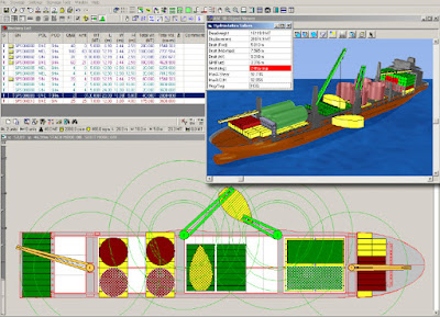
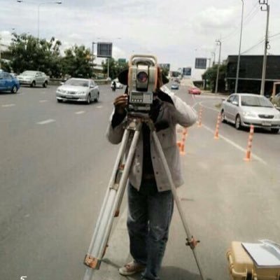
ระบบ Tilt Compensation Ep.4 ม้วน 2 (กล้องฯ Total Station 'สาย Offshore'...งานสำรวจฯ Control Survey บนเรือ Barge) >> geomatics-tech.blogspot.com/2021/11/tilt-c…
ระบบ Tilt Compensation Ep.4 ม้วน 1 (กล้องฯ Total Station 'สาย Offshore'...ล้ำลึก เกินจินตนาการ) >> geomatics-tech.blogspot.com/2021/10/tilt-c…

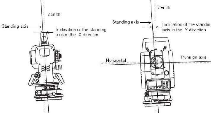
ระบบ Tilt Compensation Ep.3 (กล้องฯ Total Station 'สายเอียง') >> geomatics-tech.blogspot.com/2021/10/tilt-c…
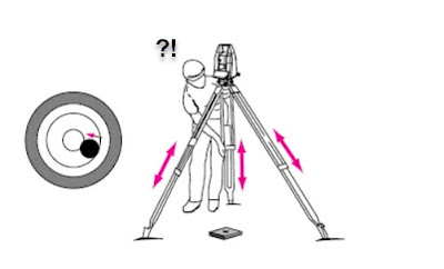
ระบบ Tilt Compensation ในกล้อง Total Station Ep.2 ('สายเอียง' แล้วงัย ใครแคร์?) >>geomatics-tech.blogspot.com/2021/09/tilt-c…
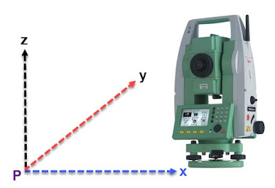
ระบบ Tilt Compensation ในกล้อง Total Station Ep.1 (การทดสอบด้วยตนเอง) >> geomatics-tech.blogspot.com/#ixzz6uFmn0tEh
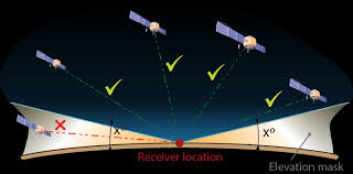
GPS/GNSS Static Measurement: การกำหนดค่า Elevation Mask Angle (กำจัดจุดอ่อน) >> geomatics-tech.blogspot.com/2019/01/gps-st…
GNSS Solutions...กับความเข้าใจที่คลาดเคลื่อน (ลงทุนฆ่าควาย แต่เสียดายพริก) >> geomatics-tech.blogspot.com/2020/07/gnss-s…

แผนที่เส้นทางภายในถ้ำหลวง ขุนน้ำนางนอน ในระบบ 3 มิติ (Tham Luang Physical 3D Scanning Cave Database) >> geomatics-tech.blogspot.com/2020/05/3-tham…

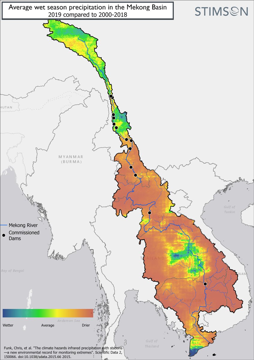
นิวยอร์คไทม์..เอาไปเล่นแล้ว..!! เรื่องจีน..เอาเปรียบเพื่อนบ้าน..สร้างเขี่อนกั้น..แม่น้ำโขง.. nytimes.com/2020/04/13/wor…
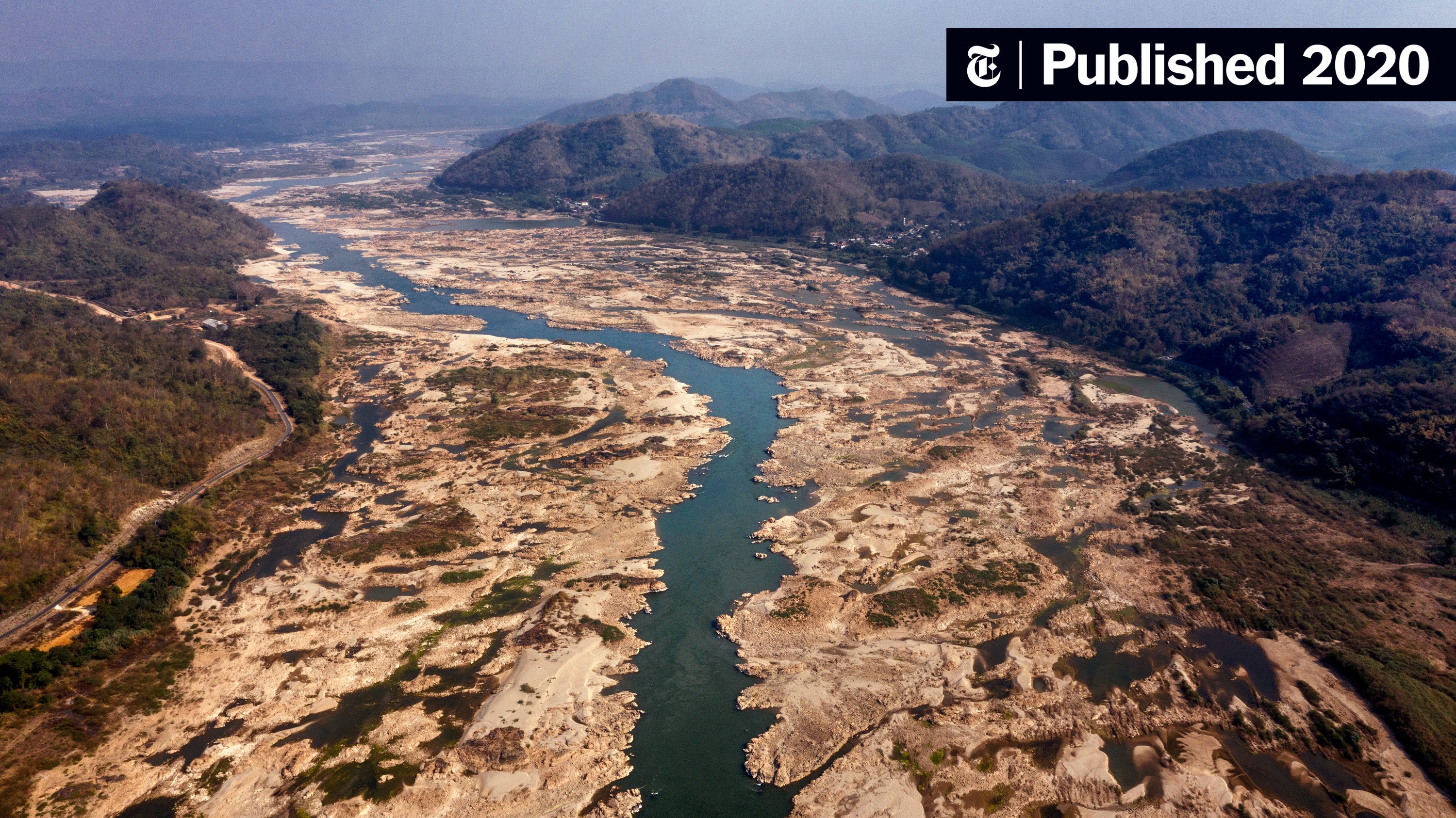

สื่อหลายสำนักเริ่มรายงานถึงประเด็นเรื่องการกักนำ้ในเขื่อนของจีนในฐานะสาเหตุวิกฤติภัยแล้งในไทย ลาว เวียดนาม และกัมพูชา- ชิ้นนี้ของบีบีซีไทยสรุปได้ดีและเข้าใจง่าย bbc.com/thai/thailand-…
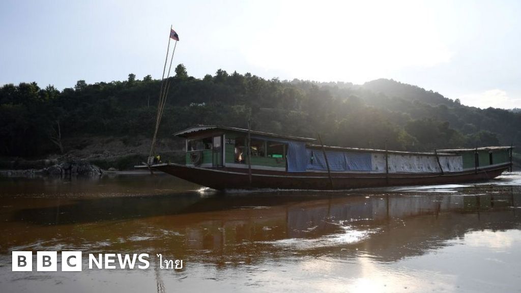

#Mekong downstream 2019 drought was exacerbated by low levels in the mainstream - why? #China's dams held the water back despite higher than normal rainfall. #IMadeThis #GIS

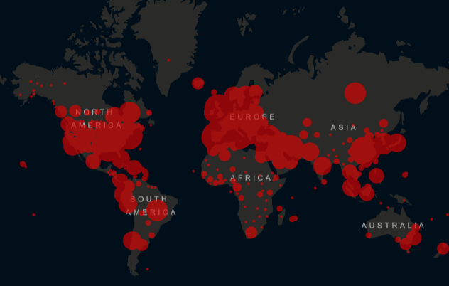
Check out our new blog post- The Geospatial Convergence: The Critical Role of Geospatial Data in Times of Humanitarian Crisis bit.ly/2TAOJrT #Geospatial #COVID19 #Mapping #pandemic #data #Esri

#ไอซ์หีบเหล็ก โดนเพื่อนล้อตั้งแต่เด็กๆว่า เป็นลูกฆาตกร พ่อฆ่าคนยัดกล่อง เพื่อนๆจะล้อกันอย่างสนุกสนาน ไอซ์ไม่ตอบโต้ เมื่อไอซ์โดนเพื่อนล้อจะแยกตัวไปนั่งคนเดียว สุดท้ายไอซ์เลยไม่คบใคร เป็นคนมีเพื่อนน้อย เพราะการโดน bully แบบนี้มาแต่เด็กหรือเปล่าถึงเป็นจุดที่ทำให้ไอซ์เป็นฆาตกรโหด
เรื่องขิงๆ กับงานสำรวจฯ Levelling ในประเทศเพื่อนบ้าน...ความ 'ย้อนแย้ง' ที่ยอมรับ 'บ่ได้' >> geomatics-tech.blogspot.com/2019/10/levell…
Draft Google Map (Vector) to CAD as Background...ชิล ชิล >> geomatics-tech.blogspot.com/2019/09/draft-…
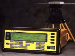
CHC - GPS (GNSS)...'หยวน' เขามาแรงในชั่วโมงนี้ Read more: geomatics-tech.blogspot.com/#ixzz5yEeyTqEx

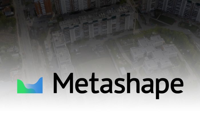
คู่มือการใช้งานโปรแกรม Agisoft Metashape (Version 1.5.x) Read more: geomatics-tech.blogspot.com/#ixzz5xJRr95xS
GPS Static Measurement: การตั้งค่า Timing Interval (ท่านว่ามากหมอ ก็มากความ) >> geomatics-tech.blogspot.com/2018/09/gps-st…
The Basic of UAV/Drone Aerial Mapping...เทคโนโลยี PhoDAR ในราคาที่จับต้องได้ (ม้วน 2) >> geomatics-tech.blogspot.com/2018/08/the-ba…
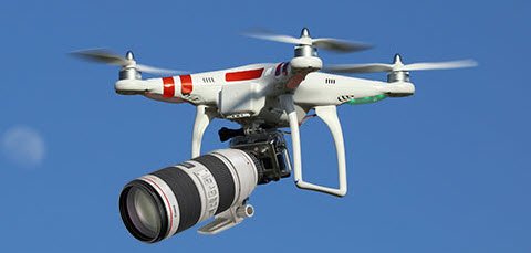
The Basic of UAV/Drone Mapping...กว่าจะถึง ณ จุดๆนี้ (ม้วน 1) >> geomatics-tech.blogspot.com/2018/08/the-ba…


United States 트렌드
- 1. #VERZUZ 13.6K posts
- 2. Cash Money 18.9K posts
- 3. Mia X 560K posts
- 4. #HalloweenHavoc 28.6K posts
- 5. Wayne 29.1K posts
- 6. Mississippi State 5,794 posts
- 7. Bama 14.5K posts
- 8. South Carolina 16.5K posts
- 9. Birdman 2,151 posts
- 10. Juvie 1,897 posts
- 11. Master P 2,417 posts
- 12. Silkk N/A
- 13. Tatum 16.6K posts
- 14. Marcel Reed 1,611 posts
- 15. #HookEm 3,055 posts
- 16. Tamar 5,198 posts
- 17. Slow Motion 5,202 posts
- 18. Texas 138K posts
- 19. #RollTide 4,730 posts
- 20. Nuss 2,174 posts


Something went wrong.
Something went wrong.