Corey Scheip
@playingwithdata
Ph.D. Earth Sciences. Geospatial, data sci, EO, lidar, landslides, GEE/MPC, outdoor rec and public lands advocate. Tweets are my own. Pronounced "Shipe"
Może Ci się spodobać


I've got the popcorn ready!!! Would be awesome to see this
The fall foliage is straight popping. Best time of year 🥰🍂🍁😍 Looking down below the Green River Gorge, Polk County NC #appalachians #autumn #fall #nc #wnc


Had a new one this week. Coworker typed lidar out as "LiDaR". Oh the humanity!!!! #lidar #gischat #WeDontTypeSoNaR
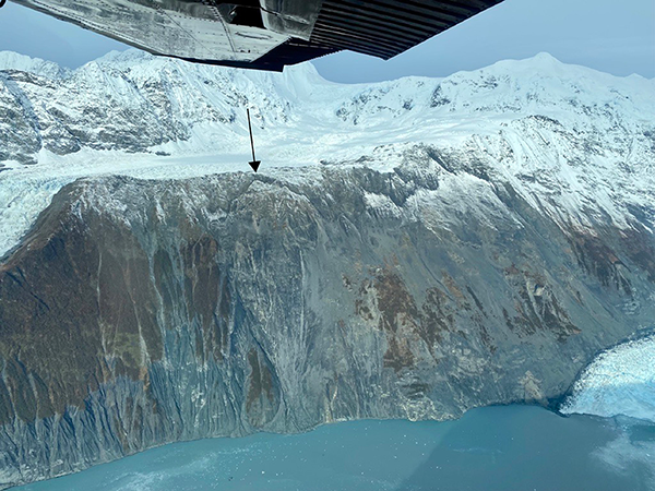
Barry Arm Landslide Update 10/21/22. We continue to see movement in the area and ask people to exercise their best judgement and, where possible, limit travel in the Barry Arm area. More info: dggs.alaska.gov/hazards/barry-…

🔥Great to see the @ForestService GTAC Monitoring Trends in Burn Severity (MTBS) Thematic Burn Severity raster data now available in #EarthEngine!🔥 developers.google.com/earth-engine/d… Now to get it optimized in Climate Engine to use alongside other vegetation, drought, and climate data 🤔

#geotweeps - does anyone have a simple raster solution to get the relief of a watershed without first computing the watershed and then extracting the max elevation from the resulting shed? No ESRI.... Looking to do this across every pixel of a raster. Thx! #gischat #gis #python

Matthias would be quite pleased that this is the photo that someone chose to celebrate him. Blue steel for the win!

We are profoundly saddened to hear of the sudden passing of Matthias Jakob. He will be fondly remembered by all who knew and worked with him. geog.ubc.ca/news/dr-matthi…
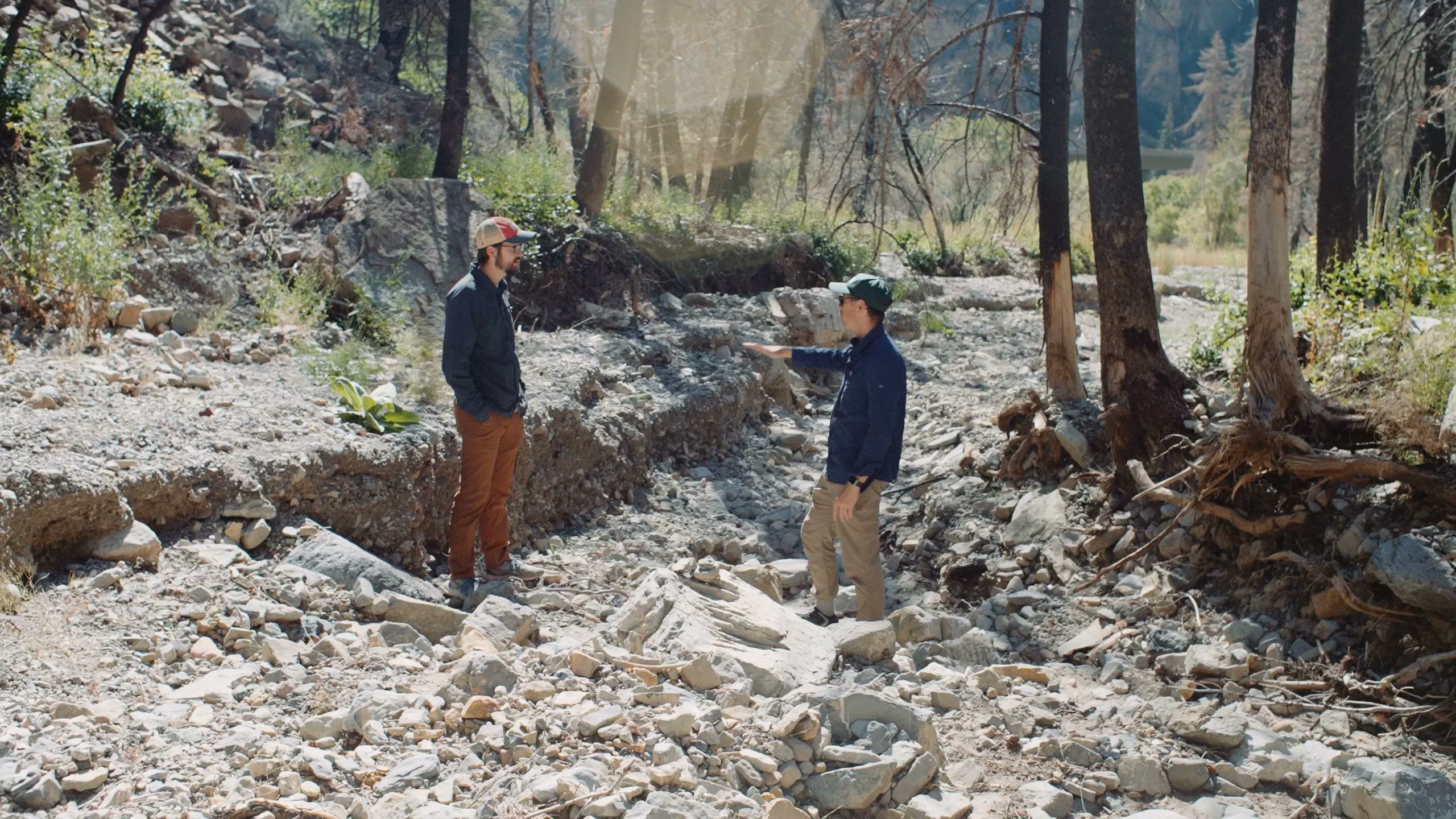
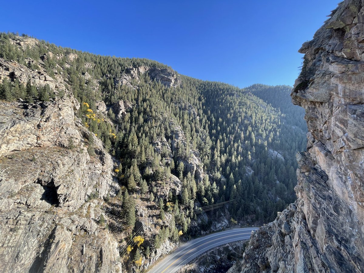
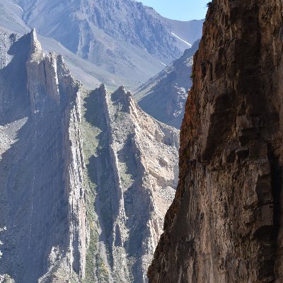
@GSA_EEGD created this virtual fieldtrip to highlight #debrisflows in #glenwoodcanyon. It might be a useful teaching resource for those interested in #postfire #debrisflows vimeo.com/752391459/6df7…
vimeo.com
Vimeo
glenwood_canyon_FINAL
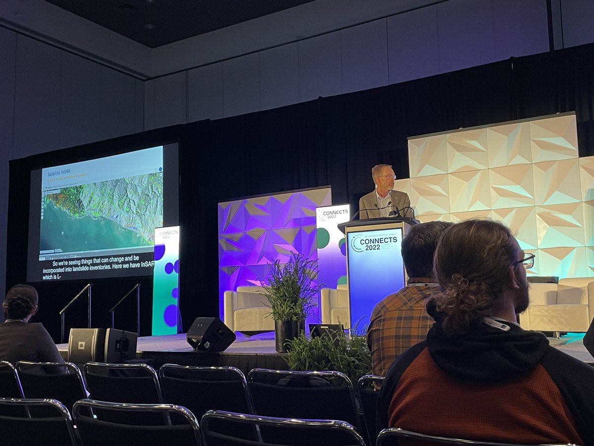
#GSA2022 you were TOO GOOD! Old friends, new friends, inspiring talks. Lost track of how many people I met in person for the first time after collaborating online for 2 years. Can't wait till Pittsburgh 2023! @geosociety

I met a few students at #GSA2022 seeking jobs after their undergrad or graduate degree and mentioned that @BGCEngineering 's 2023 hiring campaign begins soon. The job portal is now open! bgcengineering.ca/careers/ . If you have any questions feel free to DM me.
Can't say enough good about this program!! Get an application in!
Graduate students: Get free #lidar for your research via the @NCALM_UH Seed Proposal program! All NCALM seed datasets become publicly available via OpenTopography following a 6 month embargo. Check out the 235 NCALM datasets available via OT here: portal.opentopography.org/dataCatalog?co…
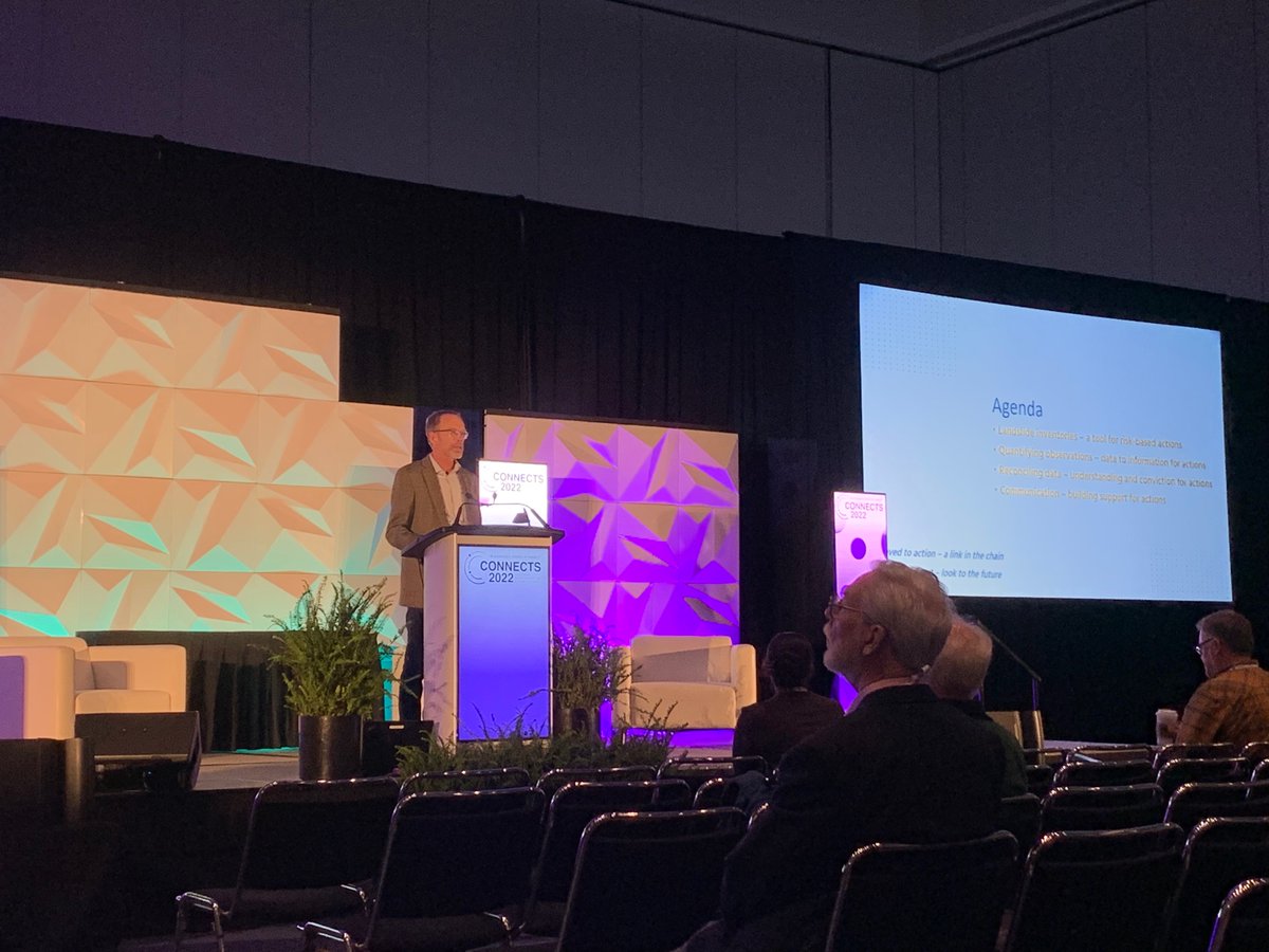
At #GSAConnects2022 in Denver or online? Come check out our session Tuesday on post wildfire surface processes and hydrology ...plus a poster session on Wednesday!
Involved in or have interest in research on post-wildfire surface processes or hydrology? Consider submitting an abstract to #GSA2022 session T4. Advances in the Science of Wildfire-Related Earth-Surface Processes Deadline: July 19 Submit here: community.geosociety.org/gsa2022/progra…

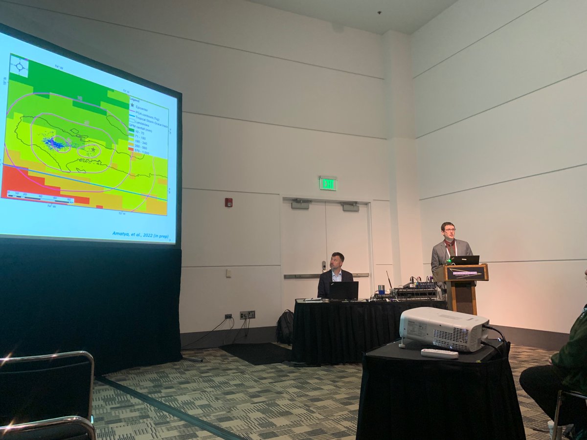
Really exciting to see my @BGCEngineering colleagues presenting at @geosociety #GSA2022 , with heavy weight on how remote sensing fits in our work. I’ll be presenting tomorrow at 2:05 in room 205 on post wildfire debris flows and the November 2021 floods in BC.
Looking forward to teaching the landslide mapping webinar in this NASA ARSET series. I will show how to use the InSAR products from Copernicus Sentinel-1 radar stored at @Ak_Satellite pre-processed by @aria_hazards to do time series analysis with MintPy.
Involved in or have interest in research on post-wildfire surface processes or hydrology? Consider submitting an abstract to #GSA2022 session T4. Advances in the Science of Wildfire-Related Earth-Surface Processes Deadline: July 19 Submit here: community.geosociety.org/gsa2022/progra…
Geo-Tweeps please spread the word about the Environmental and Engineering Geology Division award ceremony. Come for beer/food stay for science! gsa.confex.com/gsa/2022AM/mee…
ICYMI: This weekend OT opened access to USGS 3DEP #lidar in FL, GA, SC, & NC areas impacted by #HurricaneIan. Use OT's tools to access, process, & visualize 131K sq miles of data (3.4 trillion lidar points) for hurricane response, recovery, & rebuilding: opentopography.org/news/usgs-3dep…


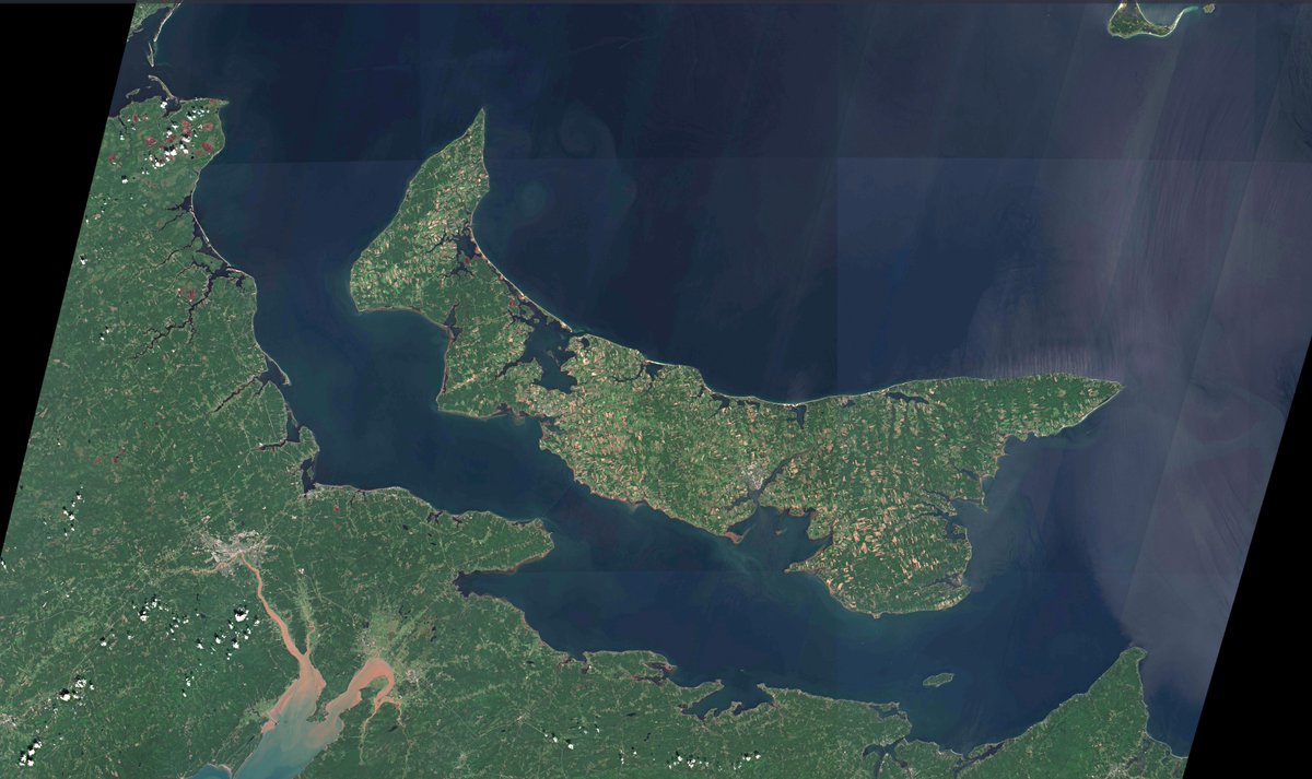
This comparison of satellite images of Prince Edward Island and the Northumberland Strait, taken on August 21 and September 25, 2022, shows the extent to which the extreme wind and wave action of the storm has churned up the seafloor and eroded the coastline.

Mountains in Motion - A nice big one. Caught by Tendi Sherpa just above Manaslu basecamp. Technically this probably qualifies as "serac" but at this size its 1/4 of a glacier. And #mountans are most sensitive to #ClimateChange. #ClimateEmergency


United States Trendy
- 1. Good Thursday 21.1K posts
- 2. Nnamdi Kanu 46.2K posts
- 3. Knicks 13.8K posts
- 4. But Jesus 21.4K posts
- 5. #GirlPower N/A
- 6. Shamet 3,034 posts
- 7. FEMA 72.5K posts
- 8. Sam Harris 3,516 posts
- 9. FREE HAT 1,719 posts
- 10. NO CAP 14.9K posts
- 11. #Survivor49 4,001 posts
- 12. Lute 87.1K posts
- 13. Derik Queen 4,792 posts
- 14. LANDRY 2,925 posts
- 15. Fulani 76.8K posts
- 16. Pink Floyd 2,757 posts
- 17. #LAShortnSweet 4,029 posts
- 18. Nany 2,046 posts
- 19. #CMAawards 5,644 posts
- 20. Crockett 54.6K posts
Może Ci się spodobać

Something went wrong.
Something went wrong.