#bakerfire search results


![CAL_FIRE's tweet image. #BakerFire [final] northwest of Red Bluff (Tehama County) is now 100% contained at 80 acres.](https://pbs.twimg.com/media/CpBjHGFUMAAWXK1.jpg)
#BakerFire [update] northwest of Red Bluff (Tehama Co) is now 80 acres & 10% contained. Forward progress stopped.
![CAL_FIRE's tweet image. #BakerFire [update] northwest of Red Bluff (Tehama Co) is now 80 acres & 10% contained. Forward progress stopped.](https://pbs.twimg.com/media/Co-tVtoUsAEHGxf.jpg)

#BakerFire off Bena Rd and Caliente Bodfish Rd, east of Bakersfield is 165 acres and 100% contained.

#BakerFire [update] near Copperopolis (Calaveras County) is now 40 acres. No homes threatened. Photo by Ken Watt.
![CAL_FIRE's tweet image. #BakerFire [update] near Copperopolis (Calaveras County) is now 40 acres. No homes threatened. Photo by Ken Watt.](https://pbs.twimg.com/media/Cn7Ku7nUIAAxtpo.jpg)

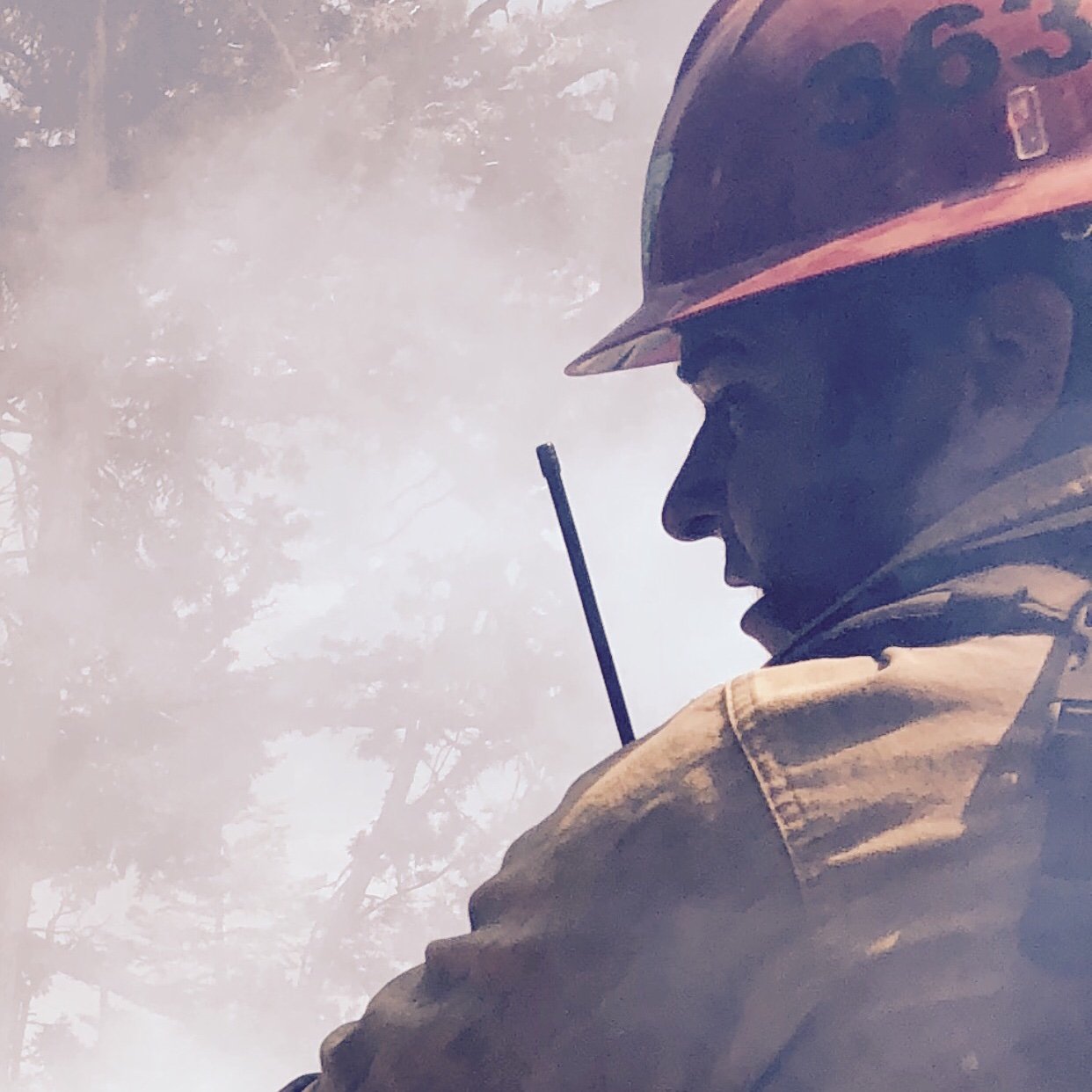
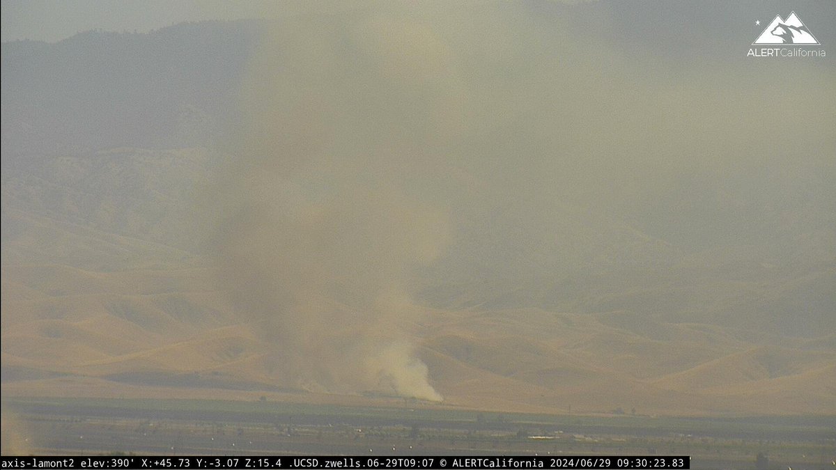
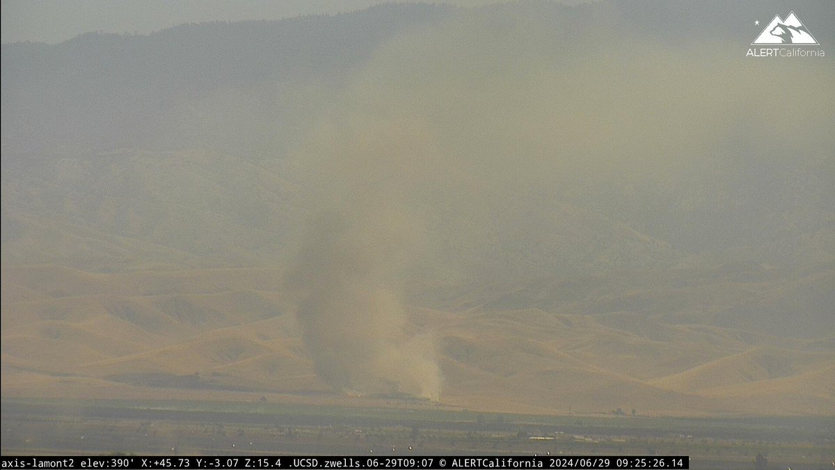
1 air attack, 4 SEATS (single engine air tankers), multiple engines and a hand crew are working to suppress the #BakerFire in Millard County. #ffslkw

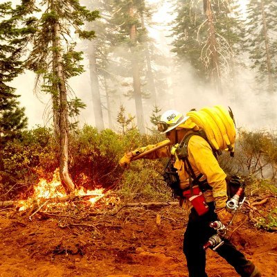
Firefighters are battling a 25 acre fire off Baker St & School St near Copperopolis (Calaveras County). #BakerFire


#BakerFire [final] off Baker St & School St near Copperopolis (Calaveras County) is now 100% contained at 57 acres.
![CAL_FIRE's tweet image. #BakerFire [final] off Baker St & School St near Copperopolis (Calaveras County) is now 100% contained at 57 acres.](https://pbs.twimg.com/media/CoA5m3NVUAAazEO.jpg)
#BakerFire off Bena Rd and Caliente Bodfish Rd, east of Bakersfield in Kern county is 150 acres. Lead agency: @kerncountyfire Formally #FwAcreFire
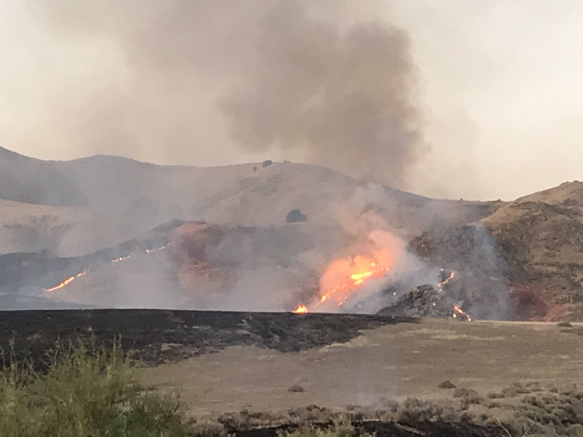
#BakerFire [update] near Copperopolis (Calaveras Co) now 60 acres & 40% contained Fwd spread stopped Photo: A. Tapia
![CAL_FIRE's tweet image. #BakerFire [update] near Copperopolis (Calaveras Co) now 60 acres & 40% contained Fwd spread stopped Photo: A. Tapia](https://pbs.twimg.com/media/Cn7eVR9UsAEgKgr.jpg)
#BakerFire off Bena Rd and Caliente Bodfish Rd, east of Bakersfield is 150 acres. Firefighters will remain on scene through the night working to stop the forward progress and reach full containment.

Firefighters are battling a 50 acre fire off Baker Rd & Plymire Rd, 2 miles NW of Red Bluff (Tehama Co). #BakerFire.


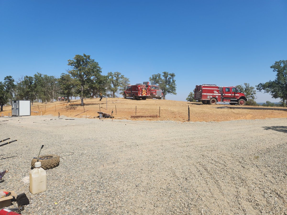
The #BakerFire in the area of Frank Ball Rd and HWY 36W is contained at 17 acres. Commitment time for resources is 6 to 8 hrs. #CALFIRETGU2025

CAL FIRE Tehama-Glenn Unit and Tehama County Fire Department are at scene of a 15 acre vegetation fire on Frank Ball Rd X Hwy 36W in the Baker area. Forward progress stopped. Crews are making good progress. #BakerFire #CALFIRETGU2025


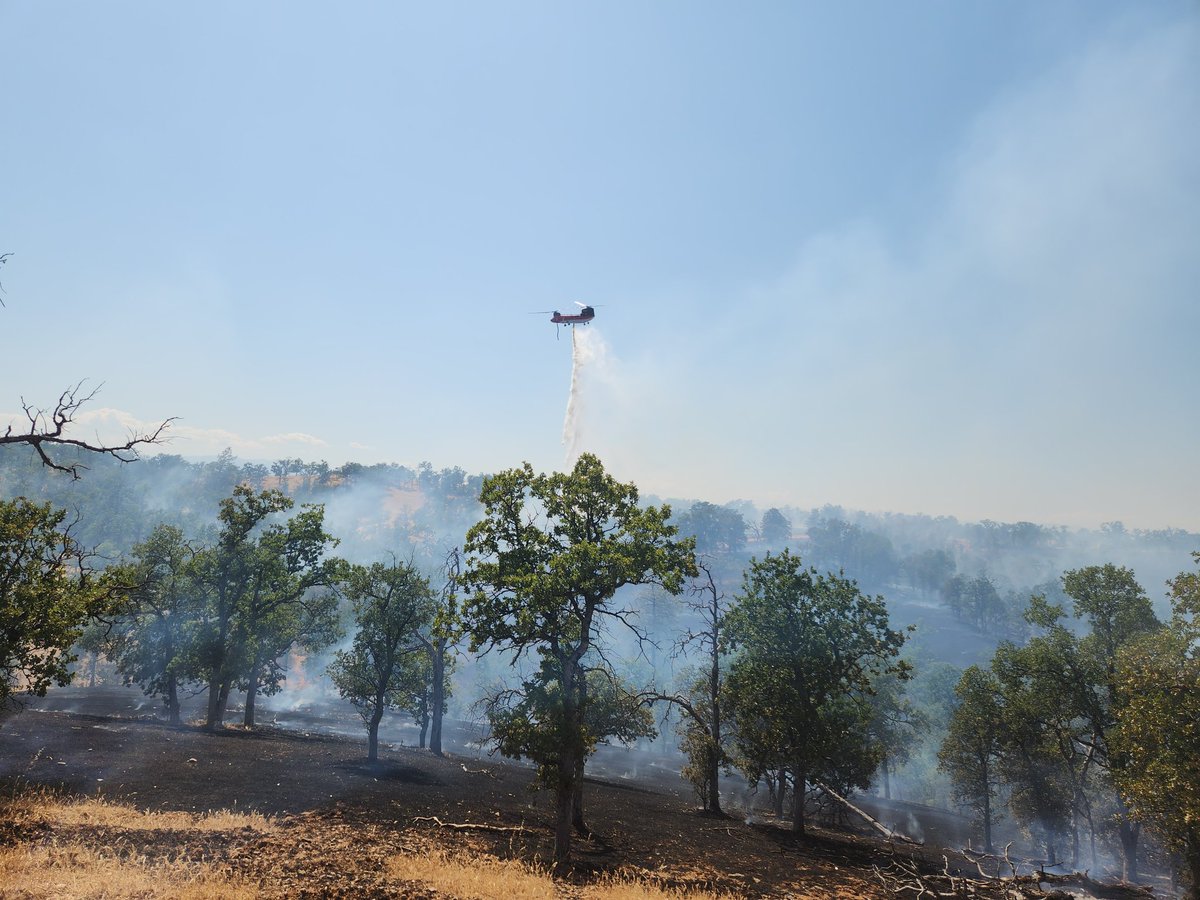
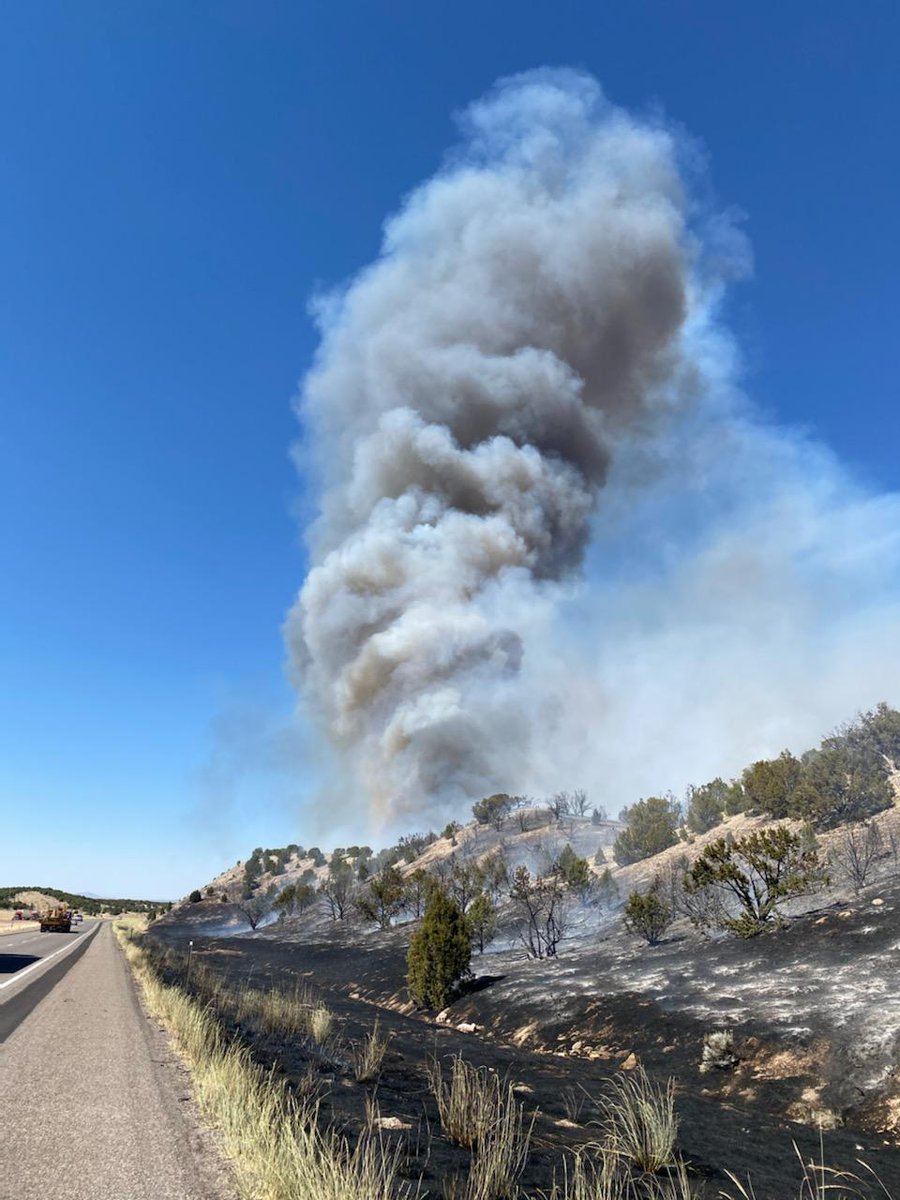
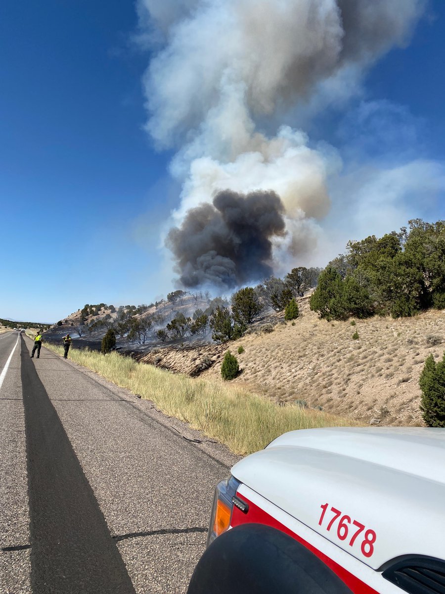
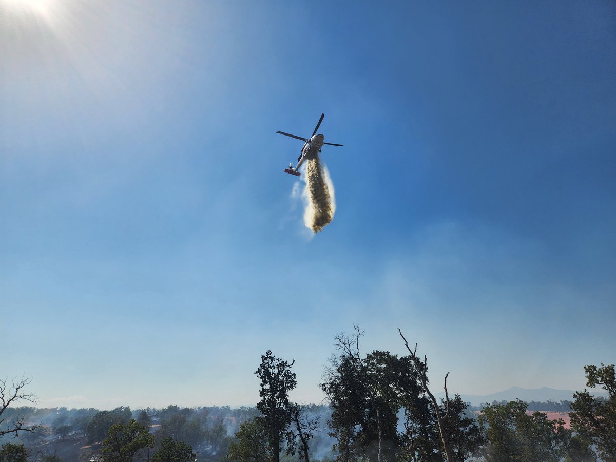
#BakerFire 3:16PM The fire is now 20 acres with a moderate rate of spread - per Incident Command. 3:14PM Air Attack has requested 1 additional type 3 air tanker. 3:05PM The fire is approx 10 acres in grass/oak woodland with a moderate rate of spread.
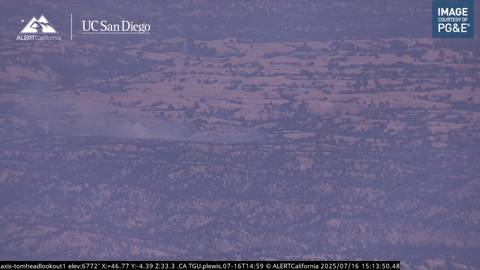
#BakerFire Approx 2.5 miles North of the 12900 Block of Hwy 36 West, Tehama County. 2:54PM Resources are responding to a reported vegetation fire with smoke visible on the Tomhead Lookout camera.
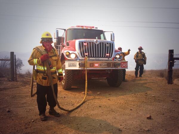
#BakerFire fire was GPS mapped at 8 acres. @CALFIREBDU and @BLMca will remain at scene mopping up hot spots and strengthening containment lines.
#BakerFire Forward Rate of spread stopped. @BNSFRailway will continue to be closed for firefighter safety. @SBCOUNTYFIRE @sbcountysheriff @BLMca
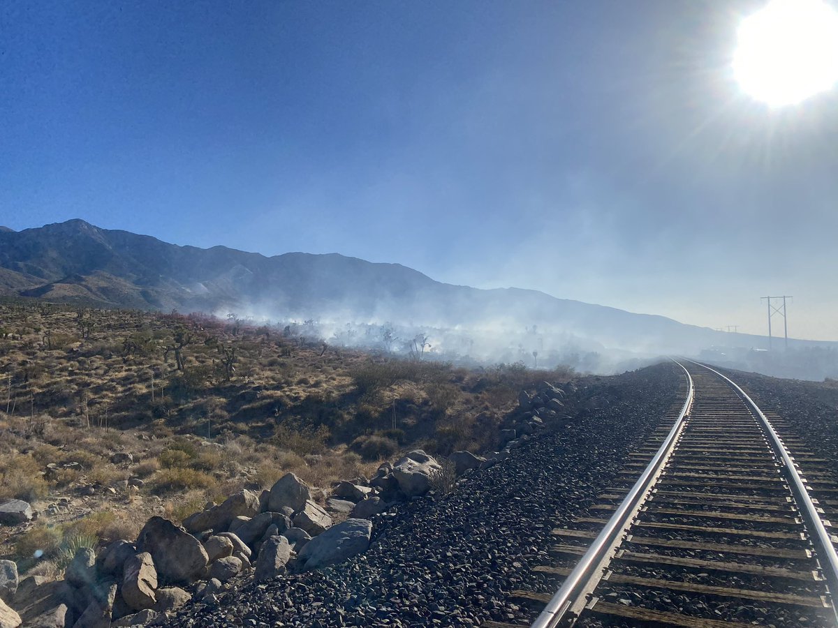

#BakerFire fire is holding within the retardant lines along the railroad tracks. Tankers have been released.
#BakerFire fire is now 10 acres, moderate to rapid rate of spread potential for 75 to 100 acres. Railway shut down.

#bakerfire is now 10 acres in medium fuels with a moderate to rapid rate of spread, per incident command. Potential for 75 to 100 acres. 2 additional water tenders requested. #cafire #wildfire
#Bakerfire is 5 to 8 acres in light to medium fuels with a moderate rate of spread, per first-arriving unit. No structures threatened. #cafire #wildfire
#BakerFire 5 to 8 acres, moderate rate of spread. Fire is wind driven.
#bakerfire final 8.65 acres Tehama county #cafire #wildfire
#bakerfire Forward progress has been stopped. Commitment time for resources on scene is one hour - per Incident Command. Tehama county #cafire #wildfire

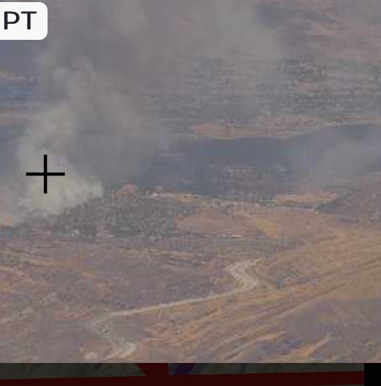
A vegetation fire is burning in Red Bluff at the intersetion of Baker Road and Minch Road. The Baker Fire was first reported at 2:46 p.m. today. #BakerFire #CAfire #TehamaCo #RedBluff actionnewsnow.com/news/the-baker…
actionnewsnow.com
The Baker Fire burned four acres in Red Bluff area at Minch and Baker Roads
Forward progress on the Baker Fire has been stopped, according to CAL FIRE
#bakerfire is 5 acres off Minch - burning south to north with a moderate rate of spread per Incident Command Tehama county #cafire #wildfire


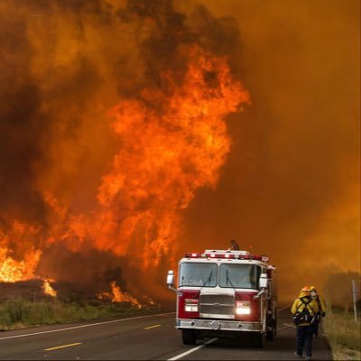
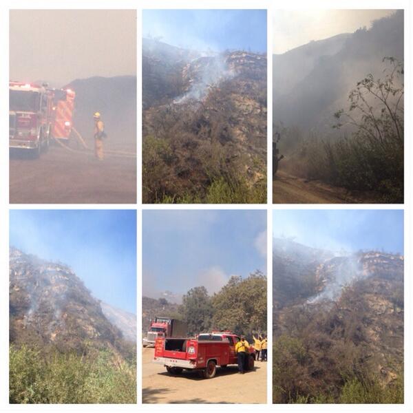
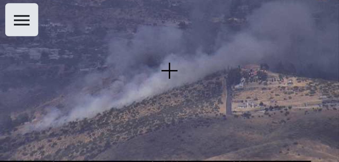
@CAL_FIRE here is a pic of the #bakerfire at 321p this afternoon. I have more. Was driving home from Jamestown.


1 air attack, 4 SEATS (single engine air tankers), multiple engines and a hand crew are working to suppress the #BakerFire in Millard County. #ffslkw
#BakerFire [update] near Copperopolis (Calaveras County) is now 40 acres. No homes threatened. Photo by Ken Watt.
#BakerFire [update] northwest of Red Bluff (Tehama Co) is now 80 acres & 10% contained. Forward progress stopped.
Firefighters are battling a 25 acre fire off Baker St & School St near Copperopolis (Calaveras County). #BakerFire
#BakerFire [final] off Baker St & School St near Copperopolis (Calaveras County) is now 100% contained at 57 acres.
#BakerFire [update] near Copperopolis (Calaveras Co) now 60 acres & 40% contained Fwd spread stopped Photo: A. Tapia

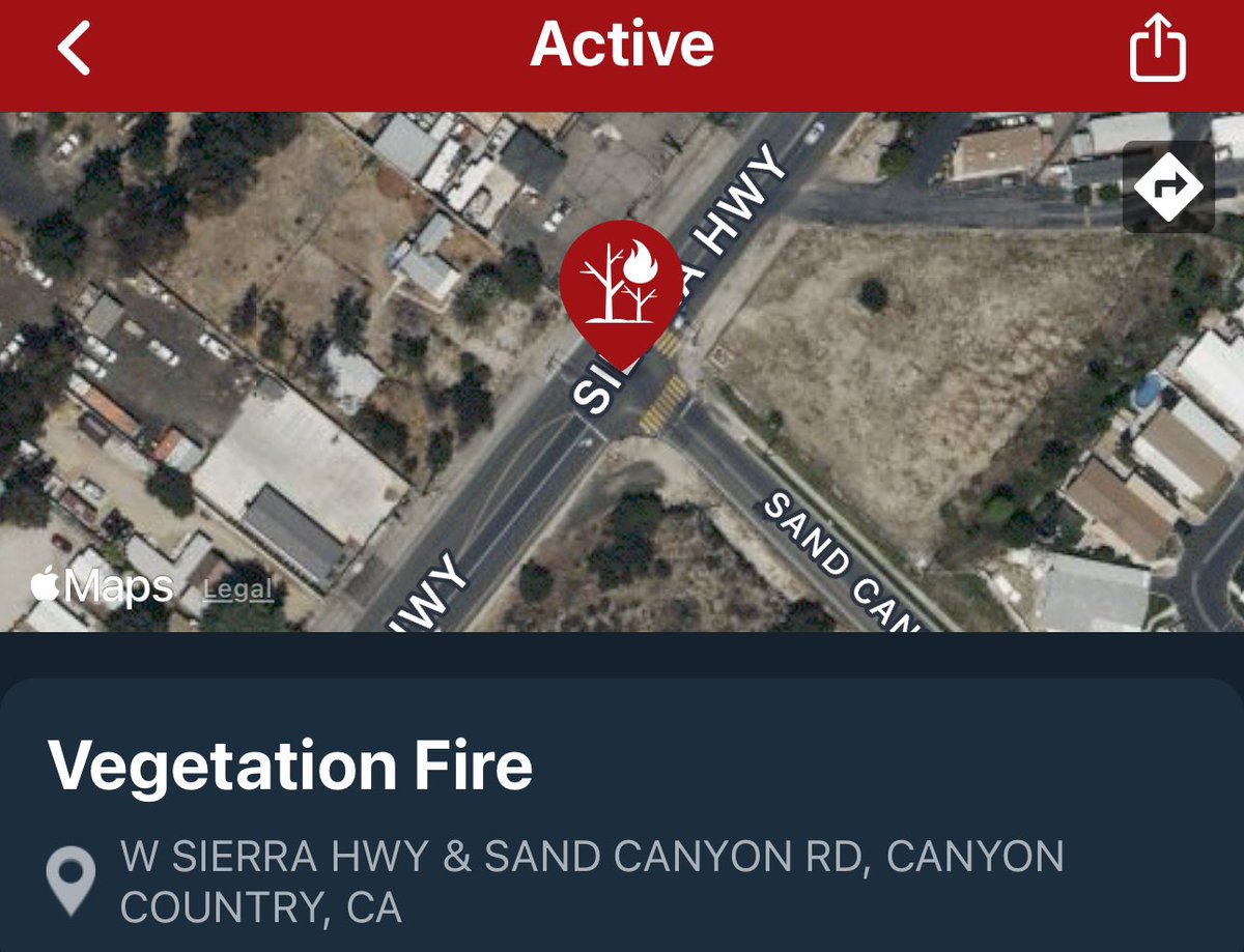
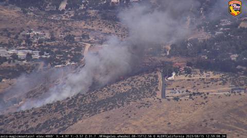
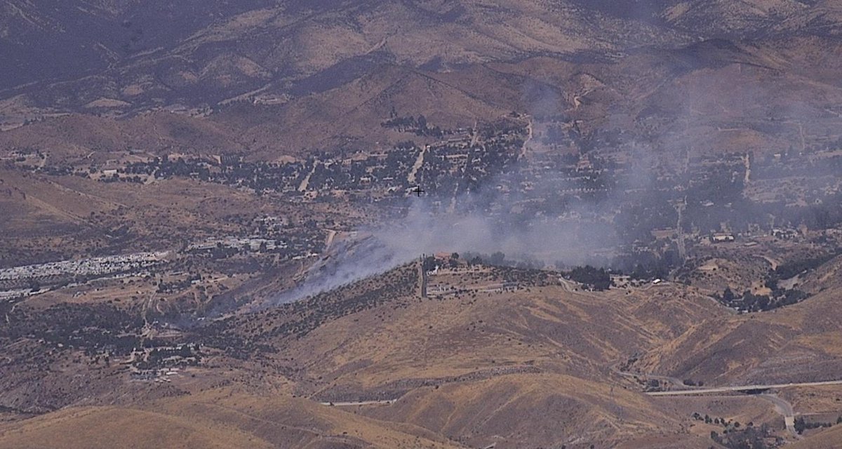
LACoFD requesting a 2nd alarm brush response!Starting to see light smoke from the #BakerFire

#BakerFire off Bena Rd and Caliente Bodfish Rd, east of Bakersfield in Kern county is 150 acres. Lead agency: @kerncountyfire Formally #FwAcreFire

Firefighters are battling a 50 acre fire off Baker Rd & Plymire Rd, 2 miles NW of Red Bluff (Tehama Co). #BakerFire.
#BakerFire off Bena Rd and Caliente Bodfish Rd, east of Bakersfield is 165 acres and 100% contained.
Something went wrong.
Something went wrong.
United States Trends
- 1. Kuwait N/A
- 2. F-15 N/A
- 3. #IndustryHBO N/A
- 4. #ActorAwards N/A
- 5. Yasmin N/A
- 6. Oscar N/A
- 7. Harrison Ford N/A
- 8. Zendaya N/A
- 9. Sinners N/A
- 10. #BaddiesUSA N/A
- 11. Lebanon N/A
- 12. #RHOP N/A
- 13. Hezbollah N/A
- 14. Michael B. Jordan N/A
- 15. #IranWar N/A
- 16. Harper N/A
- 17. Neemias Queta N/A
- 18. Iron Beam N/A
- 19. Tom Holland N/A
- 20. Kuminga N/A