#bakerfire search results


![CAL_FIRE's tweet image. #BakerFire [final] northwest of Red Bluff (Tehama County) is now 100% contained at 80 acres.](https://pbs.twimg.com/media/CpBjHGFUMAAWXK1.jpg)
#BakerFire [update] northwest of Red Bluff (Tehama Co) is now 80 acres & 10% contained. Forward progress stopped.
![CAL_FIRE's tweet image. #BakerFire [update] northwest of Red Bluff (Tehama Co) is now 80 acres & 10% contained. Forward progress stopped.](https://pbs.twimg.com/media/Co-tVtoUsAEHGxf.jpg)

#BakerFire [update] near Copperopolis (Calaveras County) is now 40 acres. No homes threatened. Photo by Ken Watt.
![CAL_FIRE's tweet image. #BakerFire [update] near Copperopolis (Calaveras County) is now 40 acres. No homes threatened. Photo by Ken Watt.](https://pbs.twimg.com/media/Cn7Ku7nUIAAxtpo.jpg)
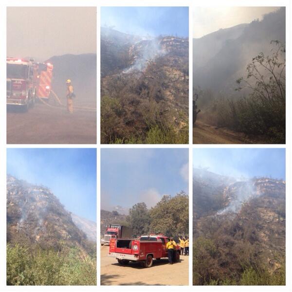
Firefighters are battling a 25 acre fire off Baker St & School St near Copperopolis (Calaveras County). #BakerFire


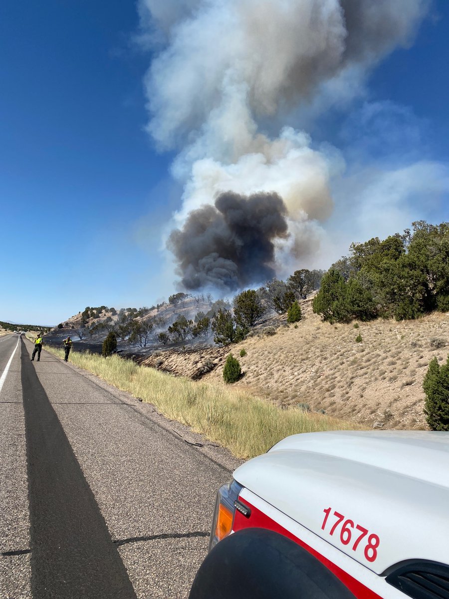
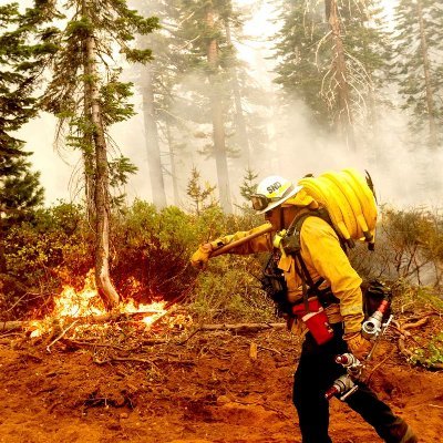
1 air attack, 4 SEATS (single engine air tankers), multiple engines and a hand crew are working to suppress the #BakerFire in Millard County. #ffslkw
#BakerFire [final] off Baker St & School St near Copperopolis (Calaveras County) is now 100% contained at 57 acres.
![CAL_FIRE's tweet image. #BakerFire [final] off Baker St & School St near Copperopolis (Calaveras County) is now 100% contained at 57 acres.](https://pbs.twimg.com/media/CoA5m3NVUAAazEO.jpg)

#BakerFire [update] near Copperopolis (Calaveras Co) now 60 acres & 40% contained Fwd spread stopped Photo: A. Tapia
![CAL_FIRE's tweet image. #BakerFire [update] near Copperopolis (Calaveras Co) now 60 acres & 40% contained Fwd spread stopped Photo: A. Tapia](https://pbs.twimg.com/media/Cn7eVR9UsAEgKgr.jpg)
#BakerFire off Bena Rd and Caliente Bodfish Rd, east of Bakersfield in Kern county is 150 acres. Lead agency: @kerncountyfire Formally #FwAcreFire
Firefighters are battling a 50 acre fire off Baker Rd & Plymire Rd, 2 miles NW of Red Bluff (Tehama Co). #BakerFire.


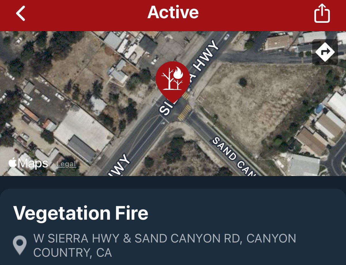
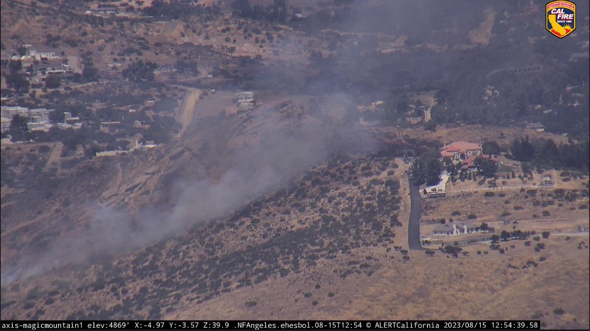
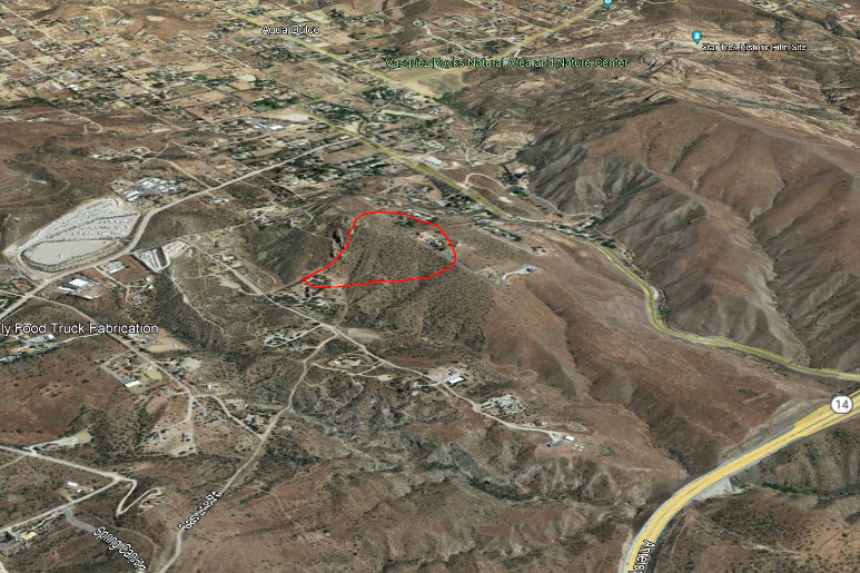
#BakerFire #AguaDulce Avenida Donari/CaminoDelSol 5 acres medium brush one structure was threatened @LACoFDPIO @Angeles_NF @Lacofdairops getting a handle @FOXLA


The #BakerFire in the area of Frank Ball Rd and HWY 36W is contained at 17 acres. Commitment time for resources is 6 to 8 hrs. #CALFIRETGU2025

CAL FIRE Tehama-Glenn Unit and Tehama County Fire Department are at scene of a 15 acre vegetation fire on Frank Ball Rd X Hwy 36W in the Baker area. Forward progress stopped. Crews are making good progress. #BakerFire #CALFIRETGU2025


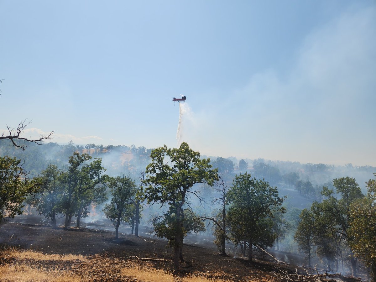
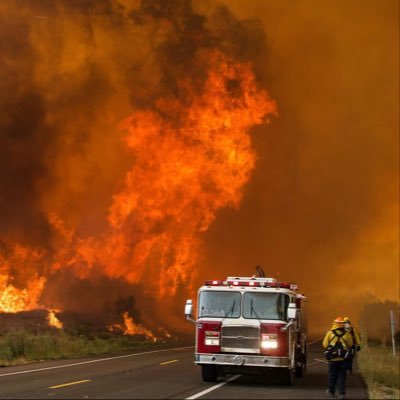
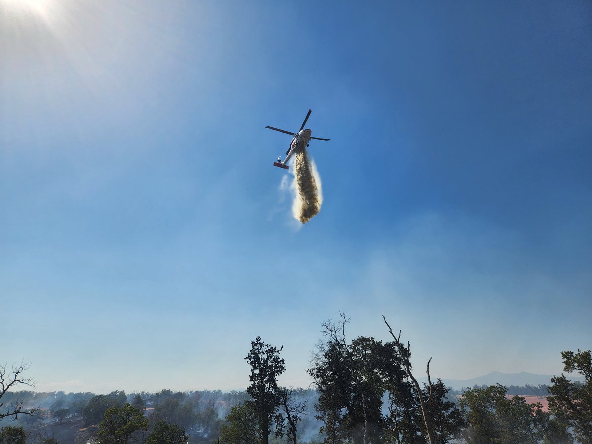
#BakerFire 3:16PM The fire is now 20 acres with a moderate rate of spread - per Incident Command. 3:14PM Air Attack has requested 1 additional type 3 air tanker. 3:05PM The fire is approx 10 acres in grass/oak woodland with a moderate rate of spread.
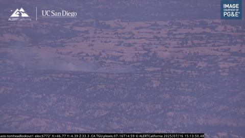
#BakerFire Approx 2.5 miles North of the 12900 Block of Hwy 36 West, Tehama County. 2:54PM Resources are responding to a reported vegetation fire with smoke visible on the Tomhead Lookout camera.
#BakerFire fire was GPS mapped at 8 acres. @CALFIREBDU and @BLMca will remain at scene mopping up hot spots and strengthening containment lines.
#BakerFire Forward Rate of spread stopped. @BNSFRailway will continue to be closed for firefighter safety. @SBCOUNTYFIRE @sbcountysheriff @BLMca
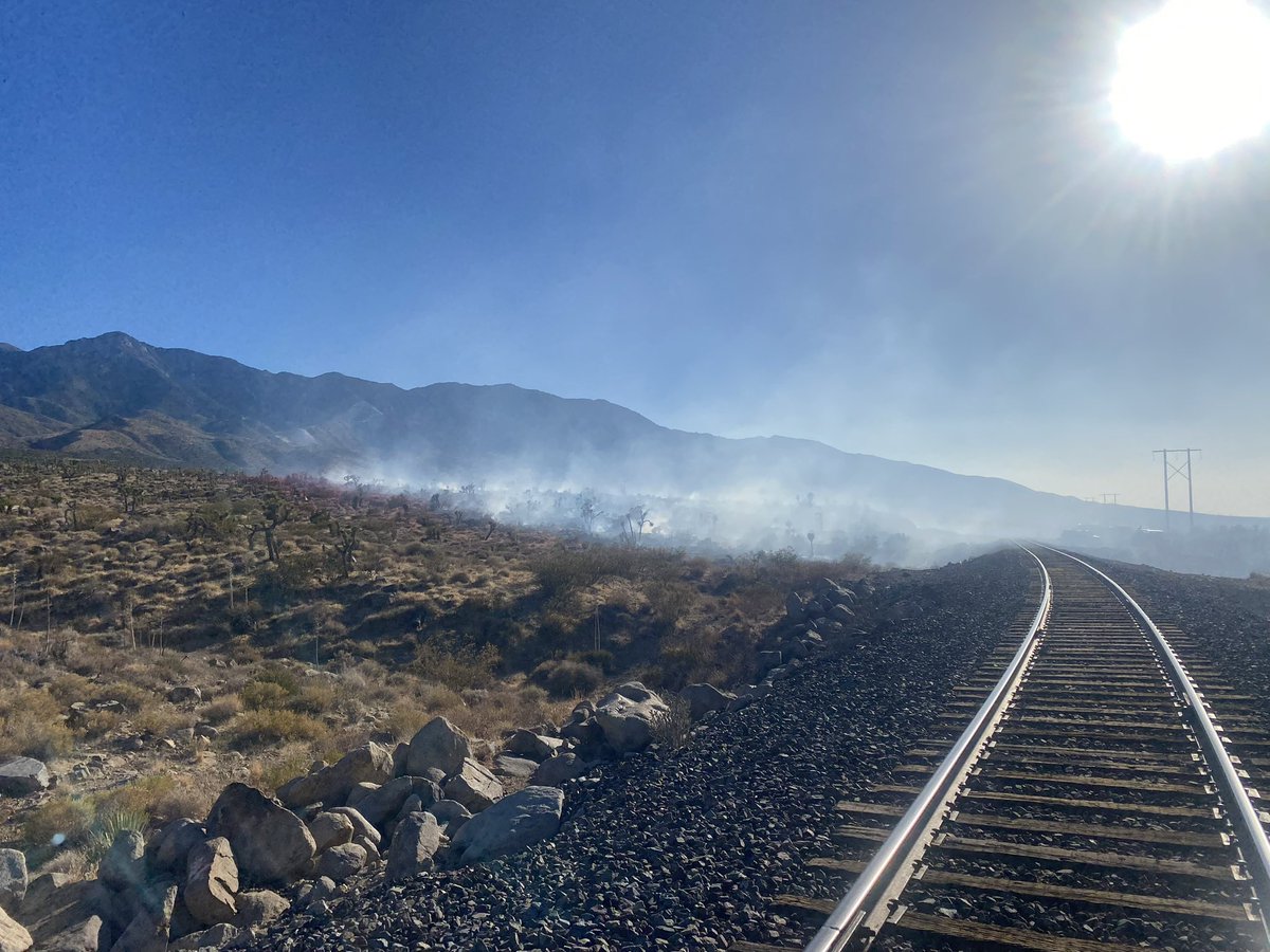

#BakerFire fire is holding within the retardant lines along the railroad tracks. Tankers have been released.
#BakerFire fire is now 10 acres, moderate to rapid rate of spread potential for 75 to 100 acres. Railway shut down.

#bakerfire is now 10 acres in medium fuels with a moderate to rapid rate of spread, per incident command. Potential for 75 to 100 acres. 2 additional water tenders requested. #cafire #wildfire
#Bakerfire is 5 to 8 acres in light to medium fuels with a moderate rate of spread, per first-arriving unit. No structures threatened. #cafire #wildfire
#BakerFire 5 to 8 acres, moderate rate of spread. Fire is wind driven.
#bakerfire final 8.65 acres Tehama county #cafire #wildfire
#bakerfire Forward progress has been stopped. Commitment time for resources on scene is one hour - per Incident Command. Tehama county #cafire #wildfire

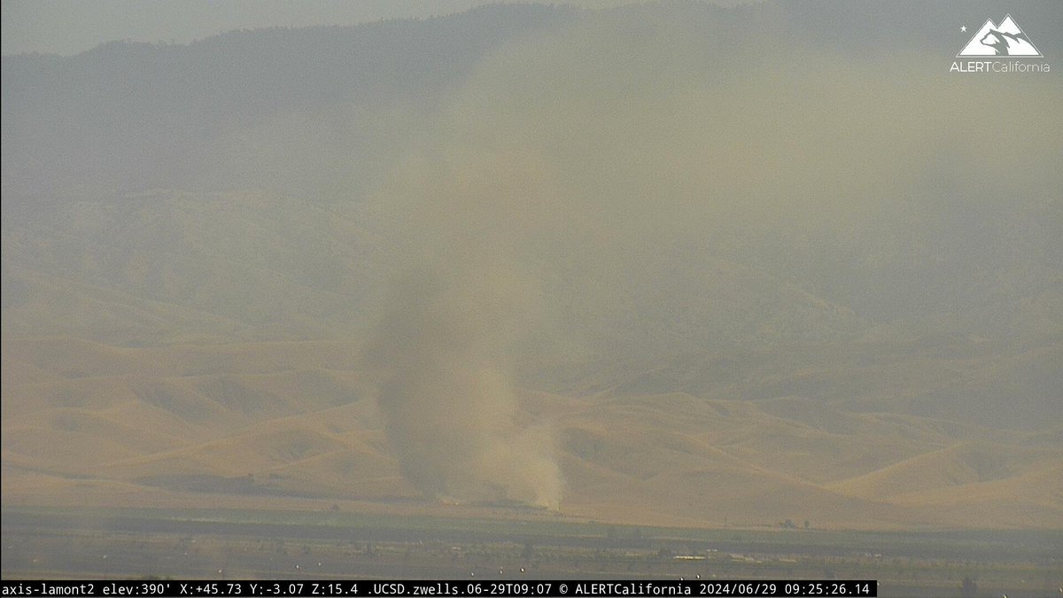
A vegetation fire is burning in Red Bluff at the intersetion of Baker Road and Minch Road. The Baker Fire was first reported at 2:46 p.m. today. #BakerFire #CAfire #TehamaCo #RedBluff actionnewsnow.com/news/the-baker…

#bakerfire is 5 acres off Minch - burning south to north with a moderate rate of spread per Incident Command Tehama county #cafire #wildfire


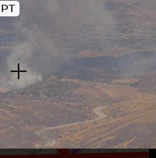

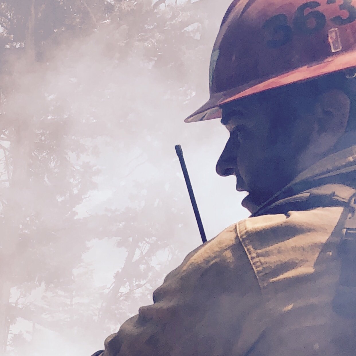
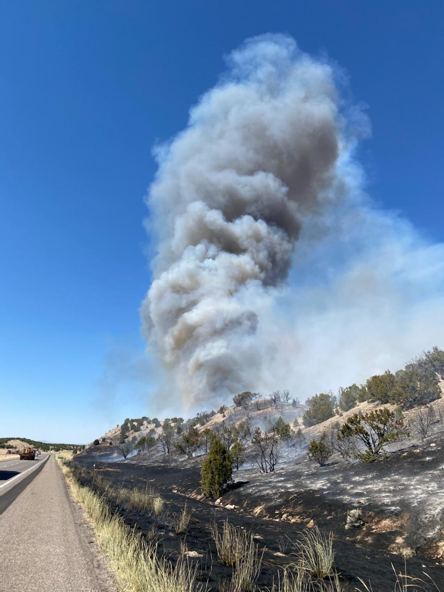
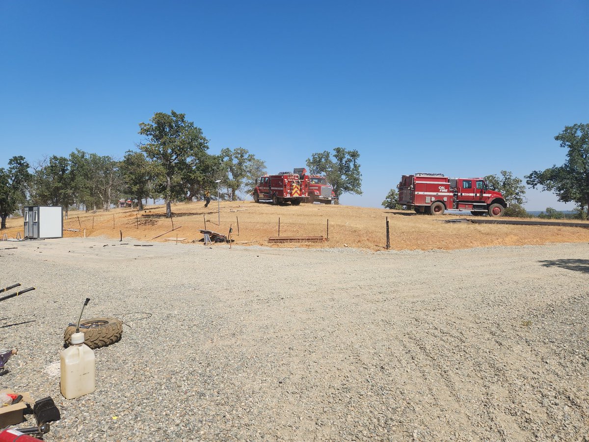
@CAL_FIRE here is a pic of the #bakerfire at 321p this afternoon. I have more. Was driving home from Jamestown.

1 air attack, 4 SEATS (single engine air tankers), multiple engines and a hand crew are working to suppress the #BakerFire in Millard County. #ffslkw
#BakerFire [update] northwest of Red Bluff (Tehama Co) is now 80 acres & 10% contained. Forward progress stopped.
#BakerFire [update] near Copperopolis (Calaveras County) is now 40 acres. No homes threatened. Photo by Ken Watt.
Firefighters are battling a 25 acre fire off Baker St & School St near Copperopolis (Calaveras County). #BakerFire
#BakerFire [final] off Baker St & School St near Copperopolis (Calaveras County) is now 100% contained at 57 acres.
#BakerFire [update] near Copperopolis (Calaveras Co) now 60 acres & 40% contained Fwd spread stopped Photo: A. Tapia

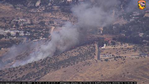
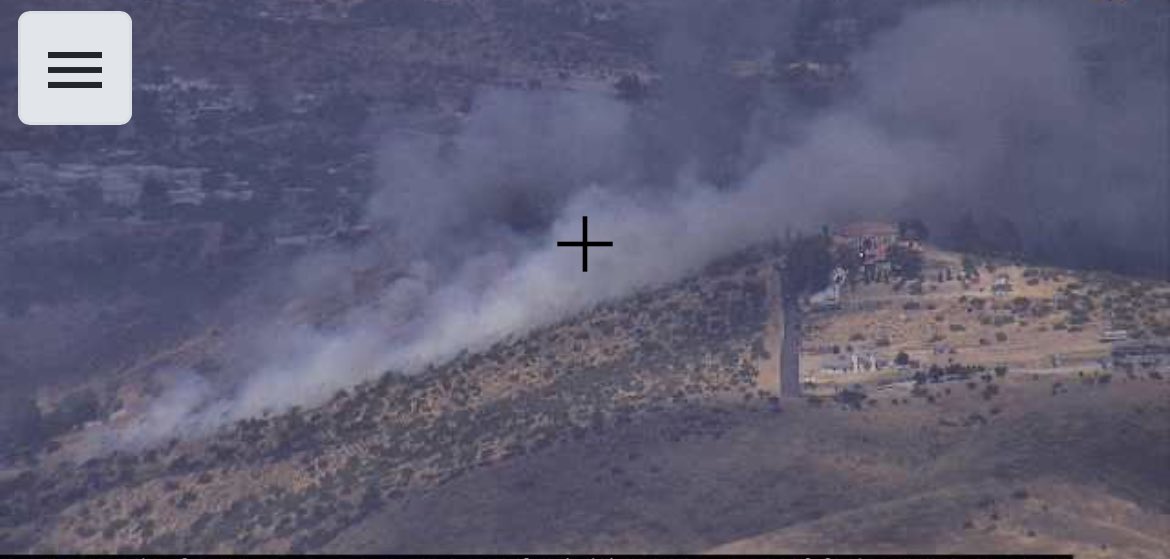
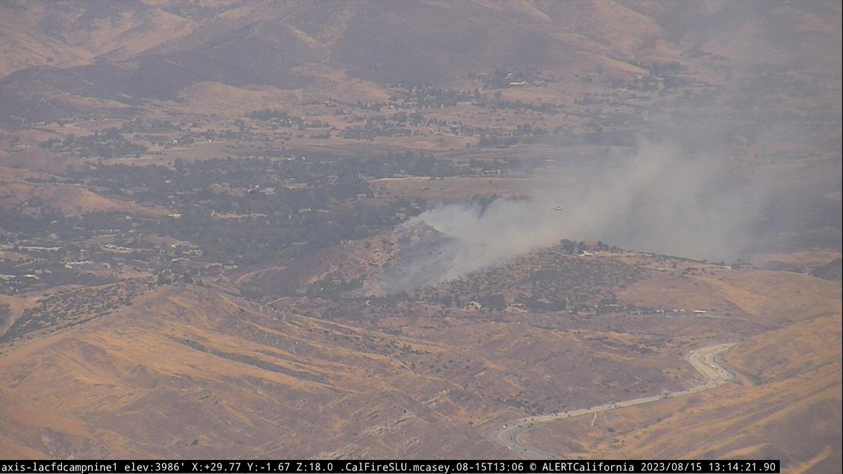
LACoFD requesting a 2nd alarm brush response!Starting to see light smoke from the #BakerFire


#BakerFire off Bena Rd and Caliente Bodfish Rd, east of Bakersfield in Kern county is 150 acres. Lead agency: @kerncountyfire Formally #FwAcreFire
Firefighters are battling a 50 acre fire off Baker Rd & Plymire Rd, 2 miles NW of Red Bluff (Tehama Co). #BakerFire.
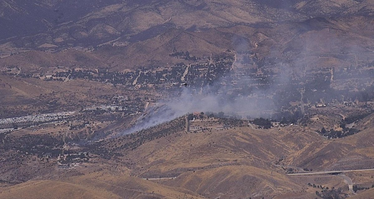
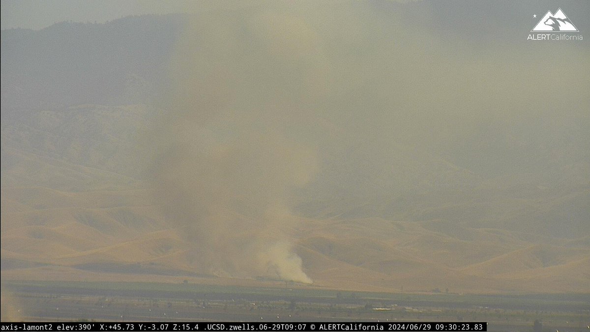
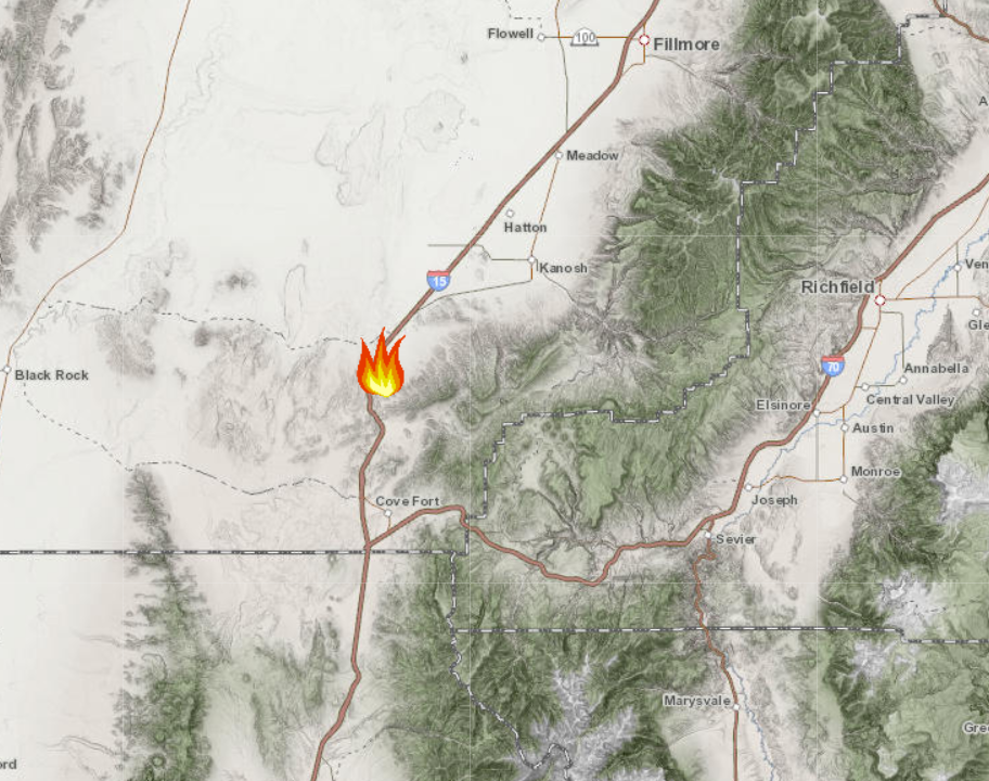
NEW START Resources from multiple agencies responding to the #BakerFire. Located south of Kanosh, east of I-15 near mm 143. Estimated at 200 acres and spreading rapidly. Erratic winds are pushing the fire to the north. #fflskw

Something went wrong.
Something went wrong.
United States Trends
- 1. Rashan Gary N/A
- 2. Jalen Carter N/A
- 3. Decker N/A
- 4. Rickey N/A
- 5. FRESH NEWS N/A
- 6. Geno N/A
- 7. Corey Perry N/A
- 8. Taron Johnson N/A
- 9. PRESALE IS NOW OPEN N/A
- 10. PRESALE IS OFFICIALLY LIVE N/A
- 11. Howie N/A
- 12. PRESALE HAS NOW LAUNCHED N/A
- 13. Brayden Schenn N/A
- 14. #FursuitFriday N/A
- 15. Freddy N/A
- 16. LARA JEAN N/A
- 17. #TrumpsJobsSlump N/A
- 18. UNCONDITIONAL SURRENDER N/A
- 19. Belmont N/A
- 20. Eagles N/A