#mobilegisappdevelopment search results

It started with a random tweet on my TL turned into a full case study. I analyzed Providus Bank’s mobile app,uncovering user pain points, fintech UX gaps & key opportunities for improvement. My case study is out now! 🚀 Would love for you to check it out and share your thoughts.


ほとんどの登山者は知りません。 ・スマホに登山用アプリを入れれば登山用GPS端末になる。 ・スマホのGPSは圏外でも機内モードでも使える。 ・登山用のアプリは地図をキャッシュするのでオフラインで使える。 ・機内モードにすればバッテリーは十分保つ。 拡散してください。 geographica.biz


Only when you download the GEO-MEASURE app will you realize how simple land surveying and precision mapping can be. 🛰️ Designed with both professionals and beginners in mind, GEO-MEASURE makes centimeter-level accuracy quick, clear, and ready to follow, right from your phone.…
GEO-MEASURE starts shipping today! After months of testing, feedback, and optimization, our first wave of GEO-MEASURE devices will be officially on its way to users around the world. 🌍 Designed for precision mapping, surveying, and real-world data collection, GEO-MEASURE…


How to convert ANY web app into a Mobile App... That can be shipped to the App Store from your phone. (Zero Coding Required) This works with web apps made on Replit, Bolt, v0, Replit or Cursor. Tech Stack: 1. @claudeai Desktop (works with ChatGPT) 2. @vibecodeapp - Builds…

Great innovation by @mappls Their 3D Junction view makes overbridges easy and the new live traffic light feature in Bangalore is amazing. You see the signal countdown right on the map. It's India's first and makes driving so much smoother. Way to go 🇮🇳 #Mappls #IndianApp #Map


At Temple University students are using mobile mapping tools to collect field data and analyze their campus environment. This shift from traditional equipment to intuitive technology is helping students gain practical #GIS skills. Read their story: ow.ly/Vxor50XlcJr


To celebrate the release of the v0 iOS app, we're launching "Free0 Mobile" for this week only. Download the app below to start building for free.


How to build a mobile app with front end and backend... From your phone. (In Less than 10 minutes) With AI API Integrations.

A long-overdue blog post summarizing #GIS Applications in Urban Planning in 6 thematic areas with concrete examples on how to model and solve them using #QGIS and open-datasets. spatialthoughts.com/2021/03/15/gis…

🚀 Excited to share the draft Table of Contents for my upcoming book, "Introduction to GIS Programming: A Practical #Python Guide to Open Source Geospatial Tools." 📚 github.com/giswqs/intro-g… This book explores a variety of open-source tools for #geospatial data analysis and…


Hi guys, I worked on an AR app that allows tourists to enhance physical locations and tourist attractions. This may allow a user to point their smartphone at a building or landmark and learn more about it, in real-time. The prototype was made with @figma below. #AR #XR


On-boarding Muranga businesses into GIS system Kenol Town and Muranga Town. The final product will be a one- stop shop application where all county services are accessible on mobile phones.


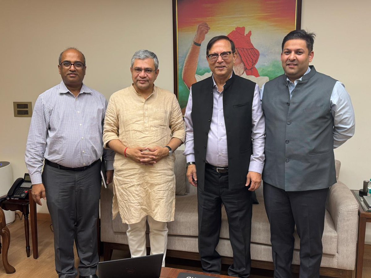
Our Co-Founder & CMD, @rakeshverma1950, and the entire @Mappls @MapmyIndia team are deeply grateful for the opportunity to present the Mappls App, Products & Platform — India’s very own world-class mapping and Location AI technologies. We would be glad to work with the…
GEO-MEASURE is now LIVE on iOS! Pair your GEO-MEASURE device and experience seamless, centimeter-level accuracy right from your iPhone. Designed for professional mapping, yet intuitive enough for beginners — measure, map, and export with just a few taps. Precision has never…


CONTENTS: 1. Data visualization with #QGIS 2. GIS and Analysis Tools 3. Earth Observation & Imagery Analysis 4. Geospatial Data Processing for crisis mapping and Copernicus EMS Services gis4schools.readthedocs.io


🌍 Every smart map starts with a strong GIS database. At Orion Terrametrics, we help organizations build scalable systems — from simple GeoPackages to enterprise-grade PostGIS solutions. Turn your spatial data into actionable insight. 🌐 #OrionTerrametrics #GIS #Geospatial

多分だけど、こんな感じで書き込み出来たりする地図アプリを欲しい人がけっこういる気がするんですよね。iPadで地図上に書き込みして、それをメンバーのiPhoneへ共有するとか。作ってるのでしばらく待ってねー。
Something went wrong.
Something went wrong.
United States Trends
- 1. Louisville 79.6K posts
- 2. Virginia 234K posts
- 3. Abigail Spanberger 21.7K posts
- 4. Jets 134K posts
- 5. MD-11 17.5K posts
- 6. Honolulu 8,026 posts
- 7. Jay Jones 27.9K posts
- 8. #OlandriaxGlamourWOTY 2,395 posts
- 9. UPS Flight 2976 15.2K posts
- 10. Miyares 15K posts
- 11. Jared 27.1K posts
- 12. Azzi 7,171 posts
- 13. #AreYouSure2 46.1K posts
- 14. Colts 64.8K posts
- 15. #いい推しの日 817K posts
- 16. #ShootingStar N/A
- 17. Madrid 433K posts
- 18. #JiminxJungKook 45.1K posts
- 19. Cheney 290K posts
- 20. Sarah Strong 1,609 posts