#lopezfire search results

#LopezFire #SanLuisObispo County, CA, USA @Jasamsdestiny #DisasterAssistTeam @ai6yrham #HorseRescue #Livestock @slohn @SLOSheriff #MandatoryEvacuation
The fire is still being shown as a SRA fire. 250 acres, 10% contained. #LopezFire from infrared data provided by fsapps.nwcg.gov/nirops/pages/a….
#RT @CAL_FIRE: #LopezFire off Upper Lopez Canyon Rd & Wittenberg Creek Rd, southeast of San Luis Obispo in San Luis Obispo County remains 250 acres and is 10% contained. Evacuations in effect: Unified Command: @CALFIRE_SLO @Los…


[MORNING UPDATE] #LopezFire remains at 220 Acres and containment is up to 20%. #Firefighters work to improve containment lines in very steep terrain. Evacuation orders will change to “Warning” at 11:00 this morning. #CountyofSlo #USForestService #OES #LopezLake
![CALFIRE_SLO's tweet image. [MORNING UPDATE] #LopezFire remains at 220 Acres and containment is up to 20%. #Firefighters work to improve containment lines in very steep terrain. Evacuation orders will change to “Warning” at 11:00 this morning. #CountyofSlo #USForestService #OES #LopezLake](https://pbs.twimg.com/media/EFKgN5AU0AEomgA.jpg)


Thanks to the Vale Hotshots and others working the #LopezFire in #SLO County. #CAwx

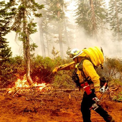
CALFIRE_SLO: [IMAGES] #LopezFire #ValeHotShots from the #Oregon #Idaho boarder work on a steep rugged section of the fire at #LopezLake in #CountyofSlo.
![slocountyinfo's tweet image. CALFIRE_SLO: [IMAGES] #LopezFire #ValeHotShots from the #Oregon #Idaho boarder work on a steep rugged section of the fire at #LopezLake in #CountyofSlo.](https://pbs.twimg.com/media/EFLdY47VUAAofpj.jpg)
![slocountyinfo's tweet image. CALFIRE_SLO: [IMAGES] #LopezFire #ValeHotShots from the #Oregon #Idaho boarder work on a steep rugged section of the fire at #LopezLake in #CountyofSlo.](https://pbs.twimg.com/media/EFLdY5yUYAEFRnr.jpg)
[IMAGES] #LopezFire #ValeHotShots from the #Oregon #Idaho boarder work on a steep rugged section of the fire at #LopezLake in #CountyofSlo.
[Morning Update] #LopezFire 220 Acres and 50% contained. Good progress was made yesterday improving containment lines. Cause: Improper extinguishment of a campfire.
![CALFIRE_SLO's tweet image. [Morning Update] #LopezFire 220 Acres and 50% contained. Good progress was made yesterday improving containment lines. Cause: Improper extinguishment of a campfire.](https://pbs.twimg.com/media/EFPekzoUUAA6h8y.jpg)


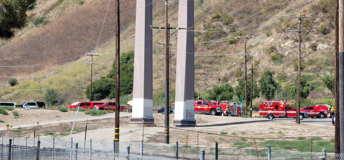
New Brush Fire Lopez Canyon Road, Sylmar, Los Angeles County. 1/4 acre, no winds. #LopezFire

Ordering air attack for tomorrow 2 large tankers 2 smaller tankers the 4 helos they're already using and the mapping plane for tonight to do recon. #LopezFire
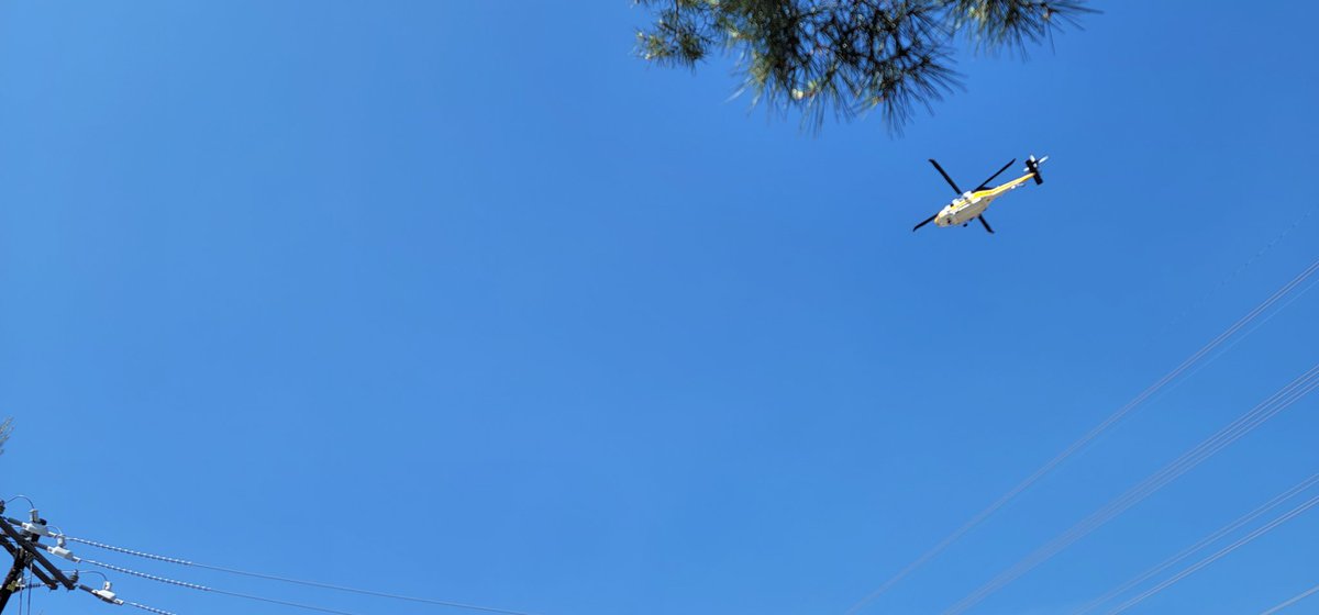
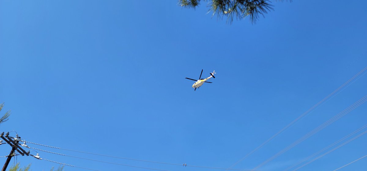
LAFD/LACoFD/ANF are enroute to the #LopezFire on Lopez Canyon Rd, Copters 2, 3, 4, 18 and Helitanker 55 are enroute.

#LAFD. Brush fire. Lopez Canyon Rd and Paxton St. #LopezFire. #LACoFD, #Verdugo, and #ANF all sending full responses to assist. Staging at the entrance of the landfill.

LAFD Alert- #AngelesNationalForest Agency Assist Lopez Canyon MAP: bit.ly/3z2QiXR @LAFD Ground and Air Response with @LACoFDPIO in #AutomaticAid to the #LopezFire #wildfire in @Angeles_NF. DETAILS: bit.ly/3Xpw3hc

#LopezFire Angeles National Forest Firefighters assisting with brush fire at Lopez Canyon Rd


New Incident: #LopezFire off Upper Lopez Canyon Rd & Wittenberg Creek Rd, southeast of San Luis Obispo in San Luis Obispo County is 50 acres.

250 acres, moderate rate of speed. 70% is in forest, laying double lines of retardant. #LopezFire
Update #LopezFire
#LopezFire off Upper Lopez Canyon Rd & Wittenberg Creek Rd, southeast of San Luis Obispo in San Luis Obispo County is 220 acres and 20% contained. Evacuations in effect: Unified Command: @CALFIRE_SLO @LosPadresNF fire.ca.gov/incidents
Vegetation Fire: Units are at scene of a vegetation fire on Hi Mountain Road on the AG side. 3 acres in grass with potential for 50 acres. Units requested medics for a burn victim. #LopezFire
#LopezFire @CALFIRE_SLO Nice video here. Lopez Lake fire grows to 120 acresEvacuations ordered as Lopez Lake fire grows to 120 acres sanluisobispo.com/news/local/art…
#LopezFire Hi Mountain Rd near Salt Creek, South of Pozo, San Luis Obispo County. 11:50am Forward progress stopped. 2.5 acres. 2 hour commit time for resources.
#LopezFire Hi Mountain Rd near Salt Creek, South of Pozo, San Luis Obispo County. 11:30am Vegetation Fire: Units are at scene of a vegetation fire on Hi Mountain Road on the AG side. 3 acres in grass with potential for 50 acres. Units requested medics for a burn victim.


#LopezFire Per IC, units on scene can handle, cancel the remaining balance.
CALFIRE_SLO: Vegetation Fire: Units are at scene of a vegetation fire on Hi Mountain Road on the AG side. 3 acres in grass with potential for 50 acres. Units requested medics for a burn victim. #LopezFire
Vegetation Fire: Units are at scene of a vegetation fire on Hi Mountain Road on the AG side. 3 acres in grass with potential for 50 acres. Units requested medics for a burn victim. #LopezFire
#LopezFire Per IC, the fire has chewed through the retardant lines but is boxed in, with potential for 50 acres.
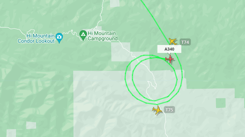
#LopezFire Copter 7 will be medvac AA340 coordinating with tankers and ground for LZ.
#LopezFire type 3 access only, SO will be bringing the patient to EMS
This will be the #LopezFire, Aircraft are on scene, 3 acres in grass, potential for 20 acres, roads on 3 sides.
P3421 is requesting a helo for medvac, LPF, and CNF are also responding to the fire.
New Brush Fire Lopez Canyon Road, Sylmar, Los Angeles County. 1/4 acre, no winds. #LopezFire

Love seeing @LAFD @LACOFD @LAPDHQ working together to put out a fire near me. #LopezFire @LAFDtalk @LACoFDPIO #TeamWorkMakesTheDreamWork #LosAngeles #LA

#LopezFire Lead Plane and Air Tankers were cancelled, Helicopters will continue to work the fire.
LAFD Alert- #AngelesNationalForest Agency Assist Lopez Canyon MAP: bit.ly/3z2QiXR @LAFD Ground and Air Response with @LACoFDPIO in #AutomaticAid to the #LopezFire #wildfire in @Angeles_NF. DETAILS: bit.ly/3Xpw3hc
New Brush Fire Lopez Canyon Rd, Lake View Terrance. Air Attack 52. Copter 3, 5, 7, 21, is overhead. 1 Lead, Tanker 72, Helitanker 0HX is enroute. #LopezFire


Lopez Fire @ Lopez Canyon Rd north of Paxton St, Lake View Terrace - #LopezFire share.watchduty.org/i/21855
#LopezFire Team work was able to knock this fire down! Hose lay all around the 4.5 acre fire. Firefighters are working on 100% mop up of extinguishing burning material down to mineral soil. @LACoFDPIO

Fire looks to be getting knocked down quickly. Forward progress has not yet been officially stopped, but this will be my final update unless something changes. #LopezFire


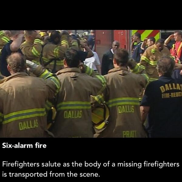
This is so scary... My daddy was working right along with this guy today. Rest in Peace hero❤😢 #lopezfire
New Brush Fire Lopez Canyon Rd, Lake View Terrance. Air Attack 52. Copter 3, 5, 7, 21, is overhead. 1 Lead, Tanker 72, Helitanker 0HX is enroute. #LopezFire
#LopezFire This Fire is in San Luis Obispo County, Hi Mountain, Air Attack 340, T75, T76, T78, and 1 Copter is on scene, T74 is out of service.

Actualización #LopezFire Incendio forestal cerca del lago López. Dirigido al noreste. Las evacuaciones en el área de Upper #LopezCanyon Road desde #CampFrench Norte continúan a esta hora. Estén atentos para más detalles. #SanLuisObispo #SLO


Update. Wildfire Near Lopez Lake. Now 120 acres. Headed Northeast. Evacuations in the area of Upper Lopez Canyon Road from Camp French North are continuing at this hour. Stay tuned for more details.
[IMAGES] #LopezFire #ValeHotShots from the #Oregon #Idaho boarder work on a steep rugged section of the fire at #LopezLake in #CountyofSlo.

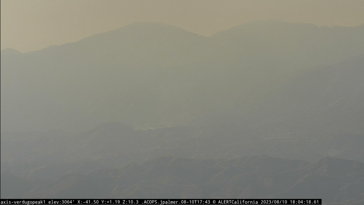
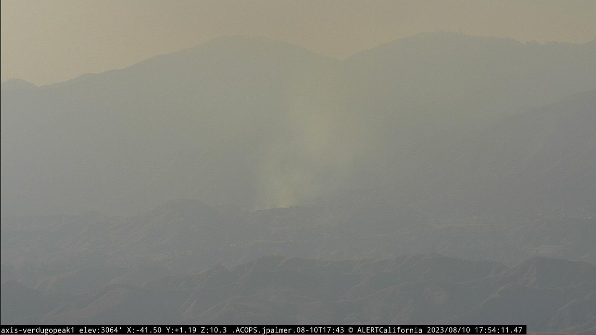
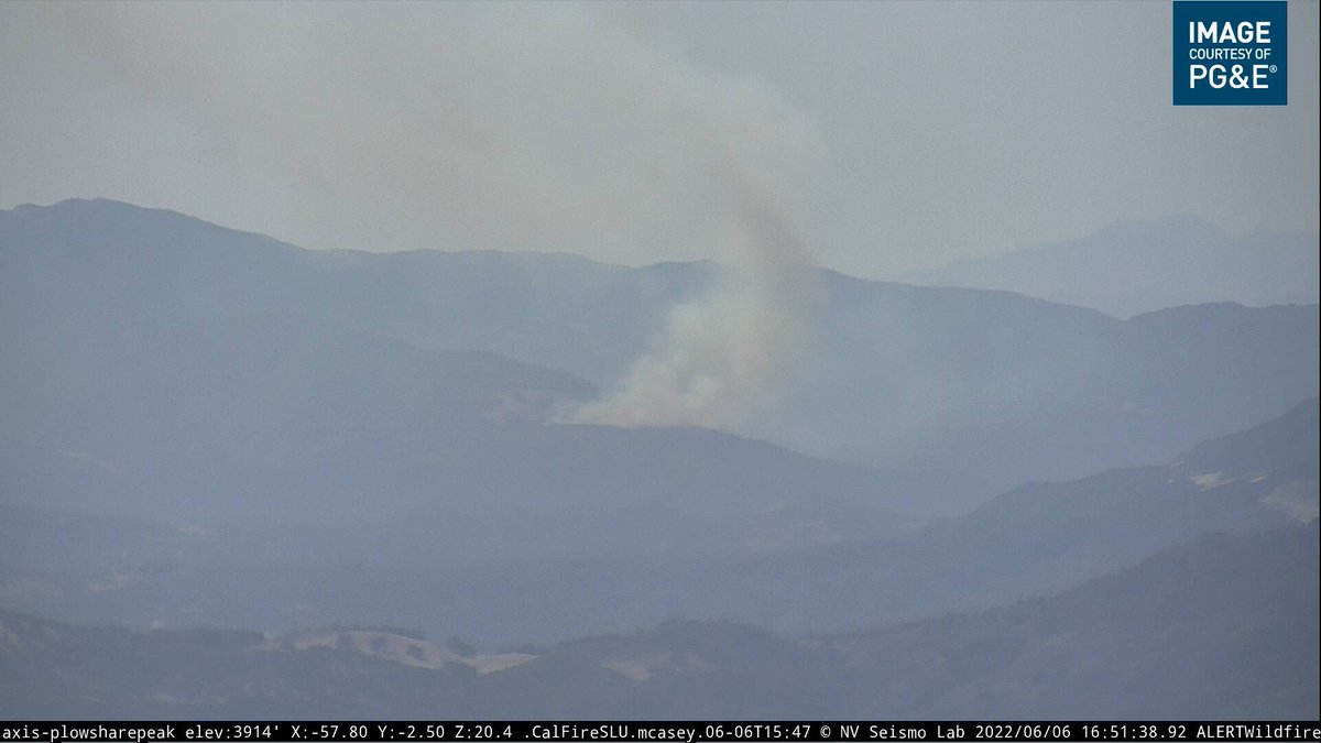
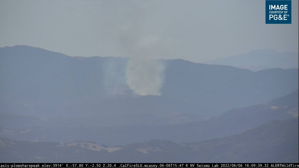
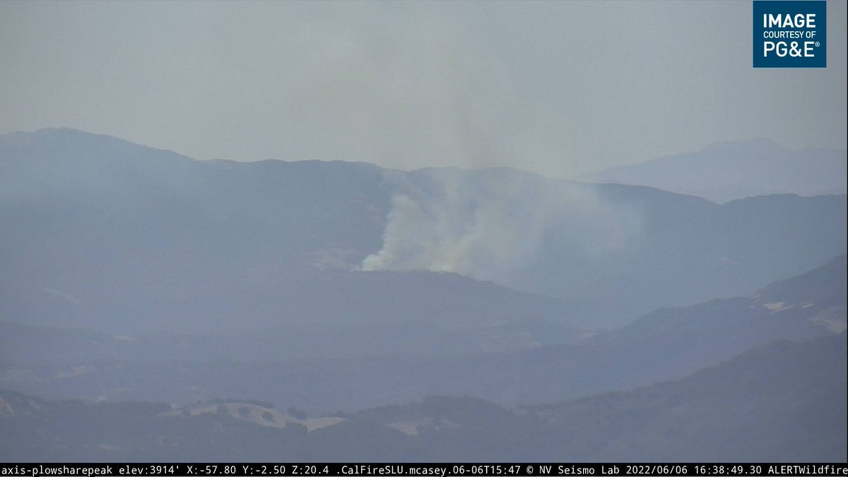
Upper-level flow is blowing a smoke plume from #LopezFire northwestward along the coastline of San Luis Obispo County toward Morro Bay & Cambria this evening. HRRR-Smoke rapidrefresh.noaa.gov/hrrr/HRRRsmoke/ is a great tool to track and predict plume. @LosPadresNF @SLOSheriff @CALFIRE_SLO
[MORNING UPDATE] #LopezFire remains at 220 Acres and containment is up to 20%. #Firefighters work to improve containment lines in very steep terrain. Evacuation orders will change to “Warning” at 11:00 this morning. #CountyofSlo #USForestService #OES #LopezLake
[EVENING UPDATE] #LopezFire is 220 Acres and 20% contained. Fire activity was minimal today and stayed within control lines. #Firefighters continue to face steep rugged terrain. Evacuation orders for Upper Lopez Canyon and French Camp will be reduced to Warning at 11:00 a.m.
![CALFIRE_SLO's tweet image. [EVENING UPDATE] #LopezFire is 220 Acres and 20% contained. Fire activity was minimal today and stayed within control lines. #Firefighters continue to face steep rugged terrain. Evacuation orders for Upper Lopez Canyon and French Camp will be reduced to Warning at 11:00 a.m.](https://pbs.twimg.com/media/EFHvOY8VUAANCP5.jpg)

I'm near the origin of the #LopezFire where a man cutting grass said the mower caught a rock and sparked a vegetation fire. Generally calm now — winds are light but steady, and there are a number of crews sprinkles throughout the area.

[EVENING UPDATE] #LopezFire 220 Acres and 50% contained. #Firefighters made good progress today reinforcing control lines and moping up. Elevated fire weather conditions expected through Wednesday. #CountyofSlo
![CALFIRE_SLO's tweet image. [EVENING UPDATE] #LopezFire 220 Acres and 50% contained. #Firefighters made good progress today reinforcing control lines and moping up. Elevated fire weather conditions expected through Wednesday. #CountyofSlo](https://pbs.twimg.com/media/EFMjqPHVUAEUDUj.jpg)

#LopezFire (Hi Mountain, SLO Co) - AA340 overhead reporting 5 acres in brush w/ moderate rate of spread, potential for 50 acres, requesting 2 additional S-2 tankers. 2 addl handcrews & 3 addl type 3 engines requested.


#LopezFire (Hi Mountain, SLO Co) - AA advising fire is on both sides of the road now, the spot on the down hill side of the road is 1 acre & burning parallel to the road for now. Another spot out in front of the main fire.
#LopezFire Hi Mountain Rd near Salt Creek, South of Pozo, San Luis Obispo County. 11:30am Vegetation Fire: Units are at scene of a vegetation fire on Hi Mountain Road on the AG side. 3 acres in grass with potential for 50 acres. Units requested medics for a burn victim.
Something went wrong.
Something went wrong.
United States Trends
- 1. $CCP N/A
- 2. May Day N/A
- 3. Boston Richey N/A
- 4. #FursuitFriday N/A
- 5. Scott Jennings N/A
- 6. Chase Claypool N/A
- 7. #OnlyFriendsDreamOnEP10 N/A
- 8. Uphold N/A
- 9. The Villages N/A
- 10. Tati N/A
- 11. #TrabajadoresConMaduroYDelcy N/A
- 12. #Dont_Let_Go_Of_SevEN N/A
- 13. #LastFourWatched N/A
- 14. NBA Draft Combine N/A
- 15. LOVE UPON A TIME EP6 N/A
- 16. Vivek N/A
- 17. GET HERE NOW N/A
- 18. Congratulations Karoline N/A
- 19. Lindy Ruff N/A
- 20. Good Friday N/A