G-DEV🌎🖥
@GeospatialDev_
We are a group of @DeKUTKenya Geospatial students doing Software Education|Data Analysis|GIS Programming|Surveying|RemoteSensing|[email protected]
Tal vez te guste


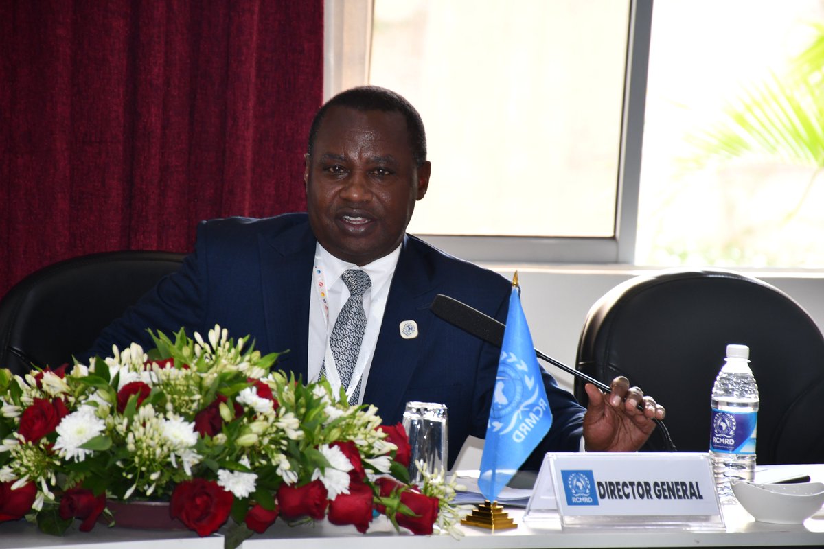
Intensive discussions and engagements that will better the existing services offered by RCMRD to the member States underway at the ongoing RCMRD Governing Council Technical Committee Annual Meeting. @spaceinafrica1


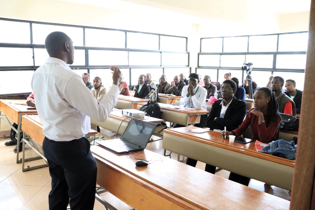
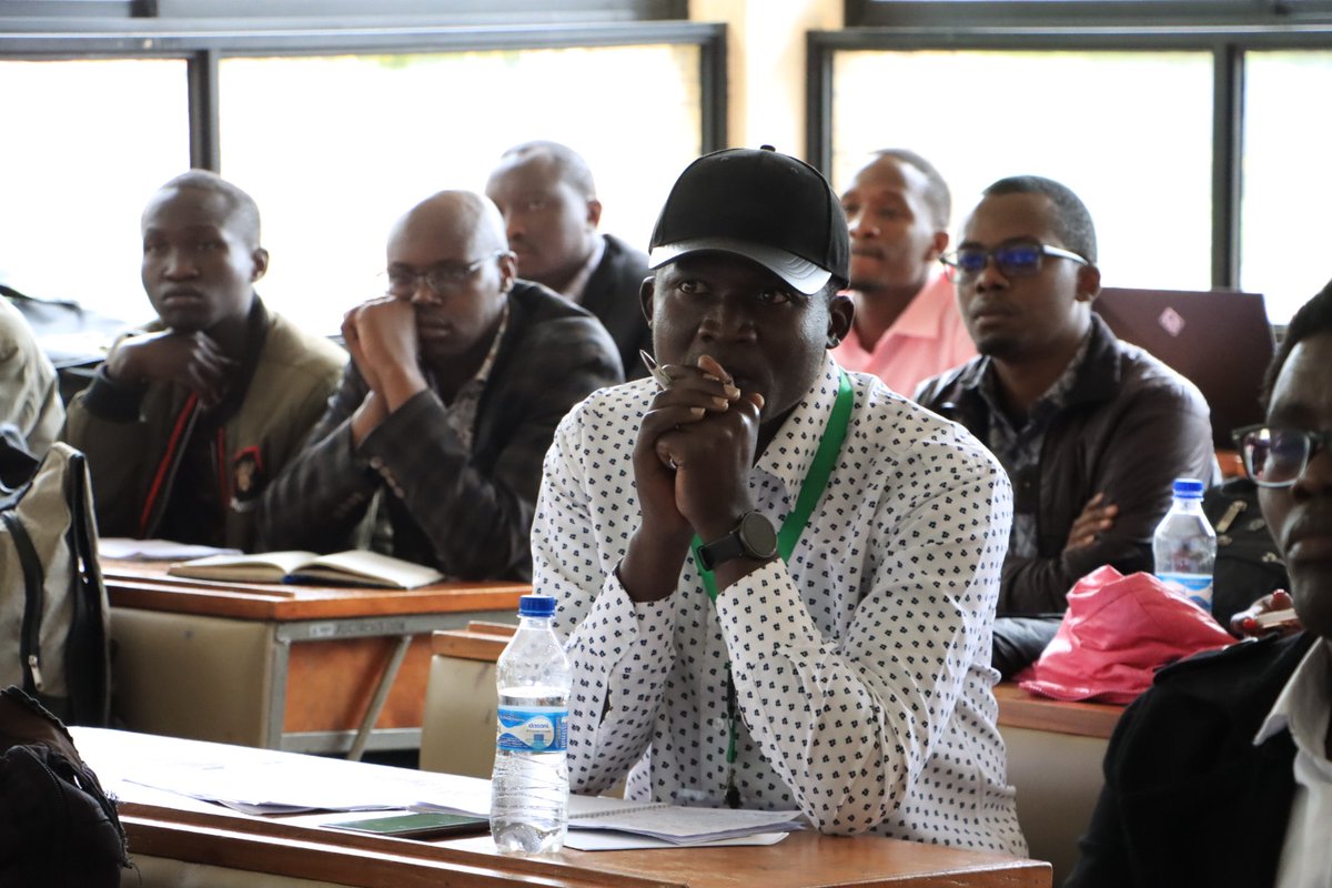
Day two of the 7th DeKUT International Conference on Science, Technology, Innovation and Entrepreneurship. #DeKUTConference #STIandE #ScienceAndTechnology #Innovation #Entrepreneurship #Sustainability #development


🚀 Your journey to success is ongoing! 🌟 Outstanding technical skills are a must for growth, but remember, don't underestimate the power of effective communication skills. 🗣️ They're one of your most valuable tools! 🎯 Keep pushing for your dreams!


Proposed olekaramatian group ranch plan presentation... where are you guys today. Wazee wanataka hard copy.


📣 Exciting News, @GeospatialDev_ @DeKUTkenya Don't miss this golden opportunity to boost your image processing skills using ERDAS @OakarServices This Wednesday from 5 - 5:30pm 👩💼 Presenter: Salome from @OakarServices #ERDAS #ImageProcessing #LearningOpportunity

Delighted to be part of the Mapathon. Got a chance to take something back Home to @DeKUTkenya @GeospatialDev_

After a triumphant Mapathon backed by @osm_ke and @KenyaRedCross, the collaborative efforts of @GSSA and @youthmappers have brought communities closer together through detailed mapping. Together, we're charting a path to a better future. #GIS #mapping #ElNiño
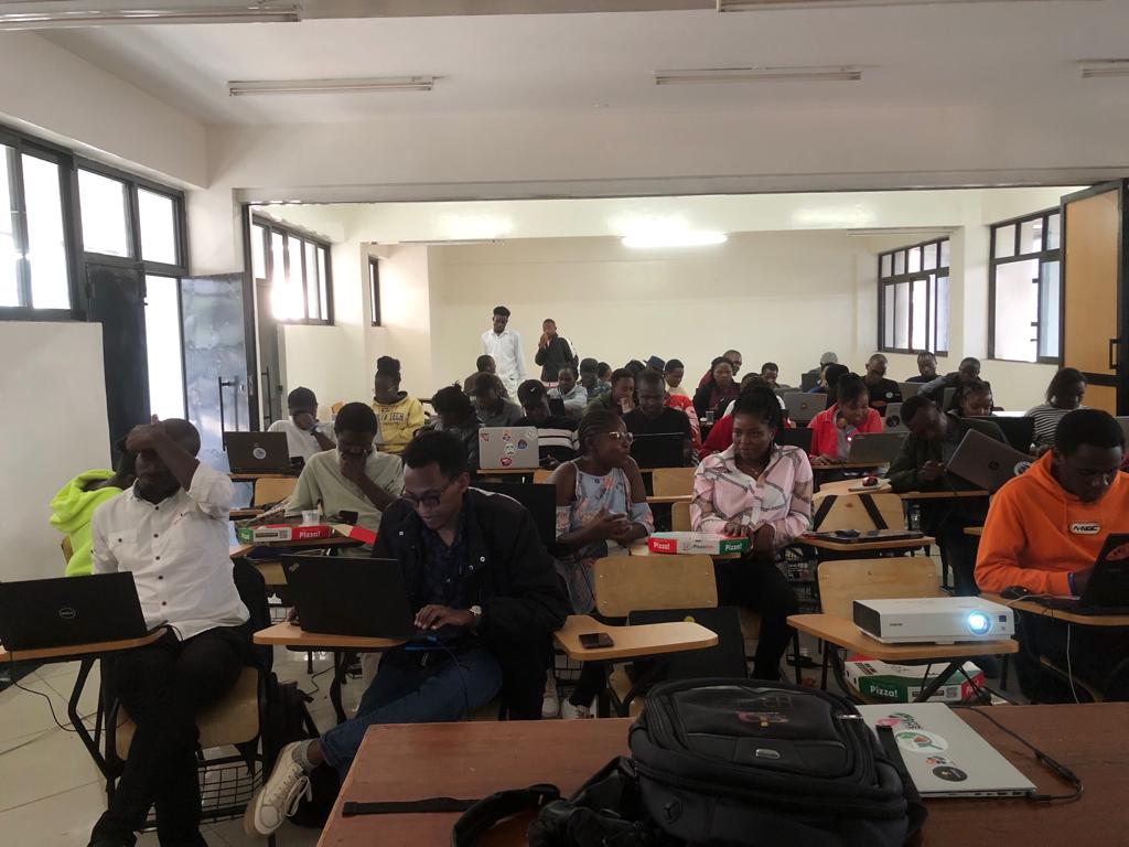


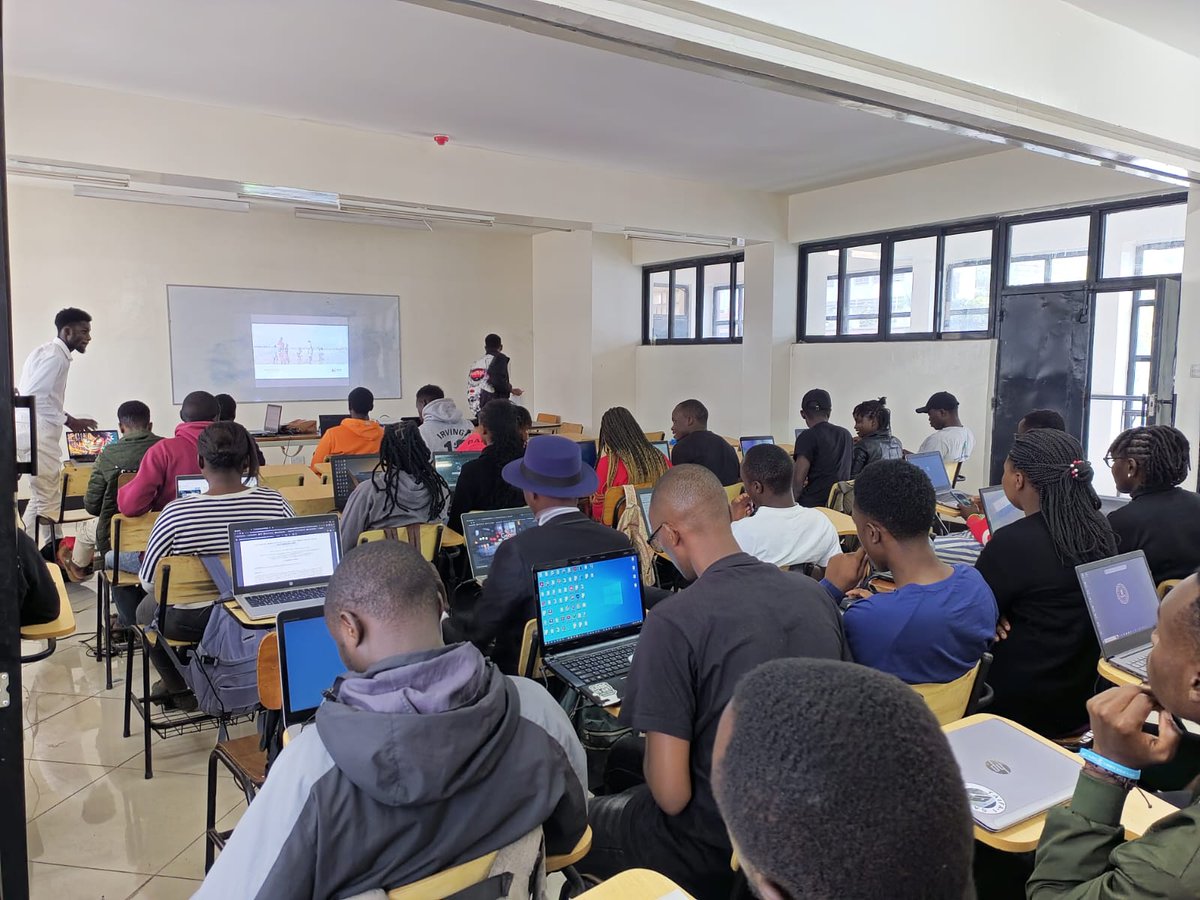
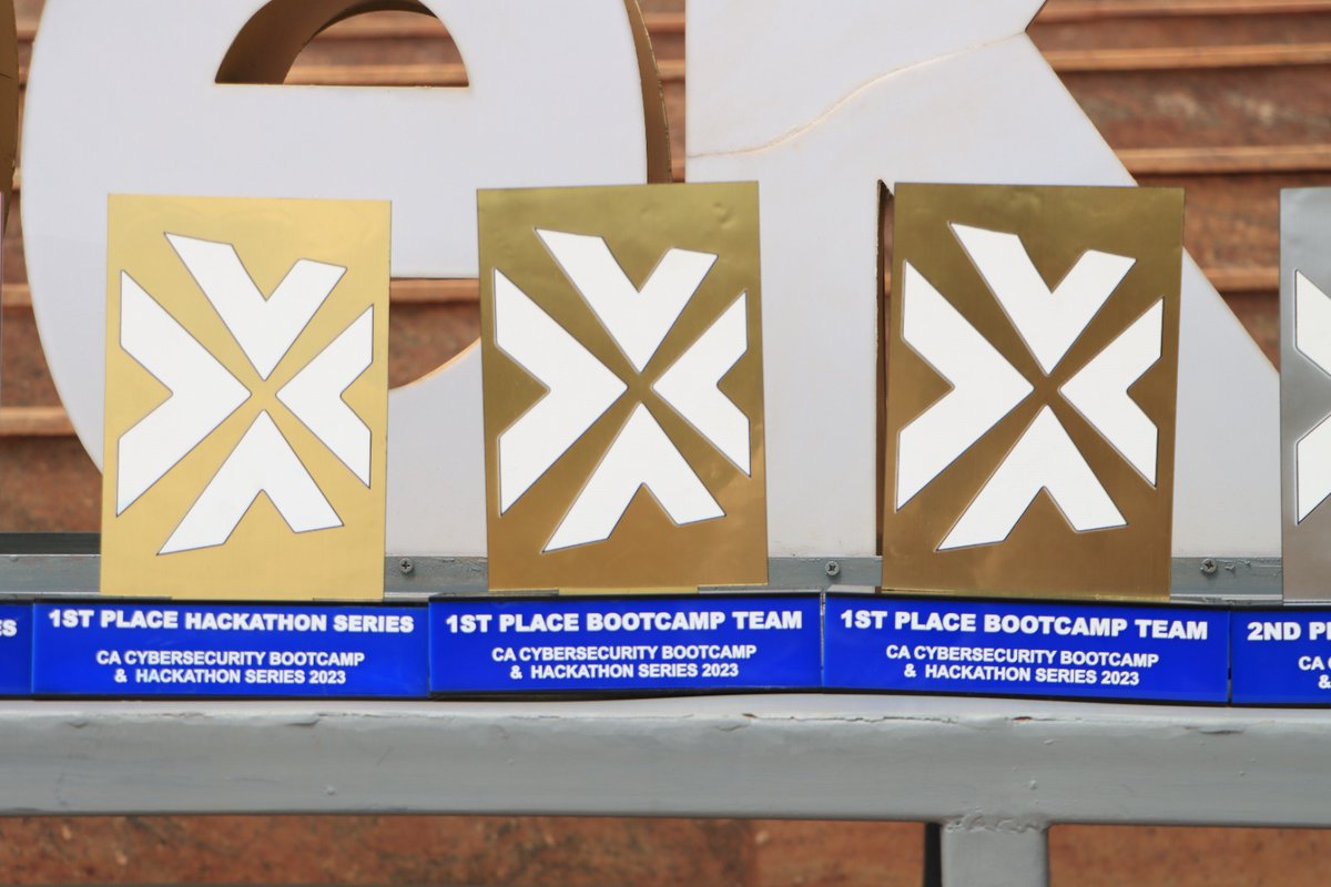
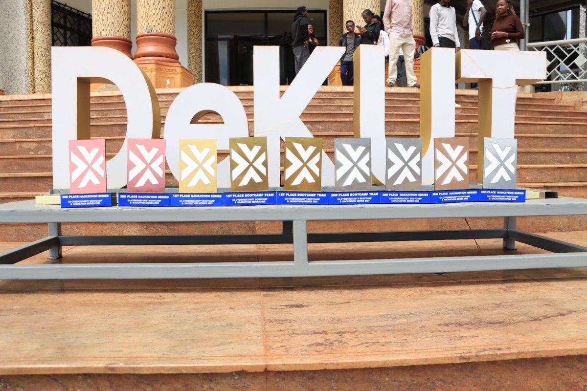
DeKUT School of Computer Science and IT participated in the Hackathon series and boot camp organised by @CA_Kenya and @HuaweiKenya at Bantu Lodge Nyeri. #HackathonSeries #Bootcamp #HuaweiKenya #CyberSecurityCompetition


Currently working on Nairobi County Night time light statistics before we come to sound pollution. Applying Remote Sensing knowledge using Google Earth Engine.

Have you ever thought of how soil analysis using Satellite can be of vital information to the agriculture sector? Talk of soil moisture estimation, soil composition, Normalized Difference Moisture Index and also historical changes. @wemappers @RCMRD_ @GeospatialDev_ @googleearth

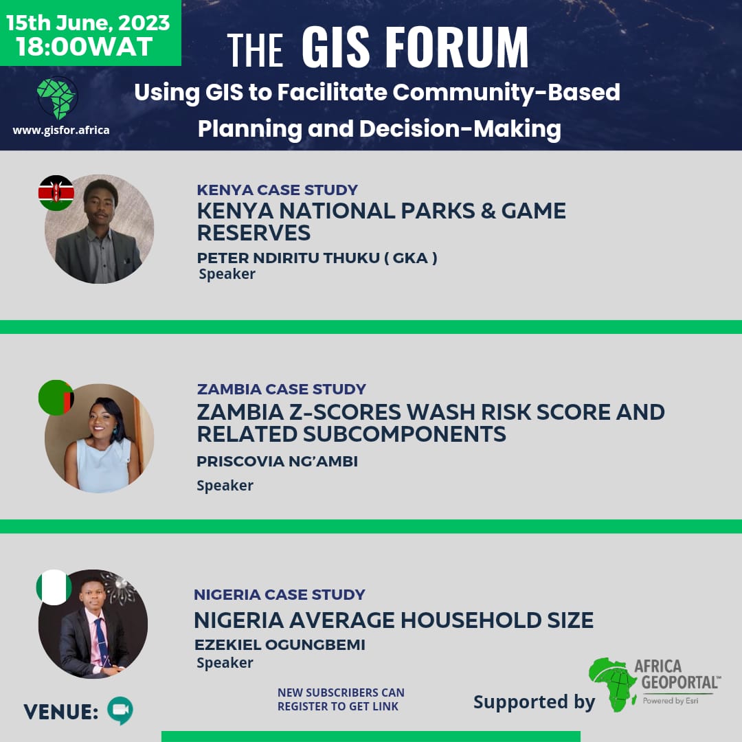
Rainfall visualization August to September 2022 using CHIRPS satellite image data #geospatial #remotesensing @gischatbot @GISforAfrica @wemappers @GeospatialDev_ @P_NdirituThuku

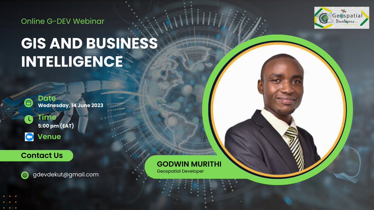
Excited for Wednesday's meeting on #GIS and #BusinessIntelligence with the amazing presenter, Godwin Murithi! Looking forward to gaining valuable insights and unlocking new opportunities in our organization. Let's harness the power of data and innovation! #DataDrivenDecisions
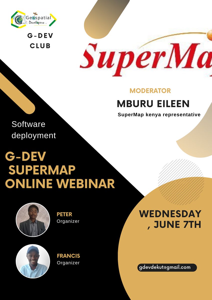
Subject: Invitation to SuperMap Wednesday Meeting: Software Deployment Dear all, I am writing to extend an invitation to the SuperMap Wednesday Meeting focused on software deployment. As a valued member of our team, your presence and insights would be greatly appreciated.


United States Tendencias
- 1. #AEWWrestleDream 64.8K posts
- 2. sabrina 59.2K posts
- 3. Stanford 7,752 posts
- 4. Darby 10.5K posts
- 5. Hugh Freeze 2,869 posts
- 6. Mizzou 6,003 posts
- 7. #byucpl N/A
- 8. Lincoln Riley 2,706 posts
- 9. Kentucky 25.2K posts
- 10. Norvell 2,272 posts
- 11. Utah 31.4K posts
- 12. Bama 16K posts
- 13. Stoops 4,977 posts
- 14. Arch 26K posts
- 15. #RollTide 9,008 posts
- 16. Nobody's Son 1,860 posts
- 17. Sark 4,546 posts
- 18. Tennessee 55.6K posts
- 19. Notre Dame 16.6K posts
- 20. #StreamFighters4 97.5K posts
Tal vez te guste
-
 Nicholas Mutethia Karuma
@mutethia_karuma -
 Moses Mwania
@Moses__Mwania -
 Mary Muthee
@_marymuthee -
 GeoTraverse_Group of Companies Ltd.
@Geo_Traverse -
 AFRO🌍TECH💻 #Geospatial
@_francisodero_ -
 Lawrence #Geospatial🌍
@lawrence_kim_ -
 EMMANUEL KIPNGETICH
@Kip__Emmanuel -
 Frida Mwangi
@FridaMwangi1 -
 ToroitichLuke✨
@mosongjrn -
 OpenStreetMapKE
@OSMKenya -
 Geoholic
@_EmmanuelRotich -
 Kimaru
@k_maru254 -
 Surveyor
@__kipngetich -
 Brian Kiptoo
@BrianKiptooo -
 Mugure
@MugureImani
Something went wrong.
Something went wrong.