NavVis
@NavVisOfficial
NavVis enables service providers and enterprises to capture and share the built environment as photorealistic digital twins
You might like


Come join us on LinkedIn & Instagram! For additional updates and information about what's happening in the #MobileMapping and #LaserScanning world, check us out on @LinkedIn Our @Instagram is filled with our people too... Find us as @NavVisOfficial 📷
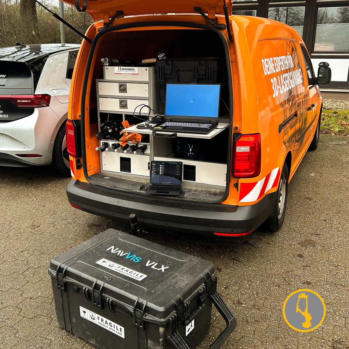
✏️💻 Mobiler Arbeitsplatz 2.0! 🚐 Warum im Büro sitzen, wenn der Kofferraum unseres 3D-Vermessungs-Caddys genauso gut ausgestattet ist? Mit Laptop, Tablet und unserer High-Tech-3D-Laserscanner-Ausrüstung von NavVis VLX als Sitzmöglichkeit sind wir immer da, wo die Action ist🛠️📊

This impressive and detailed case study explains how mobile lidar was used to map one of Europe's busiest airports @NavVisOfficial blog.lidarnews.com/scan-to-bim-de…

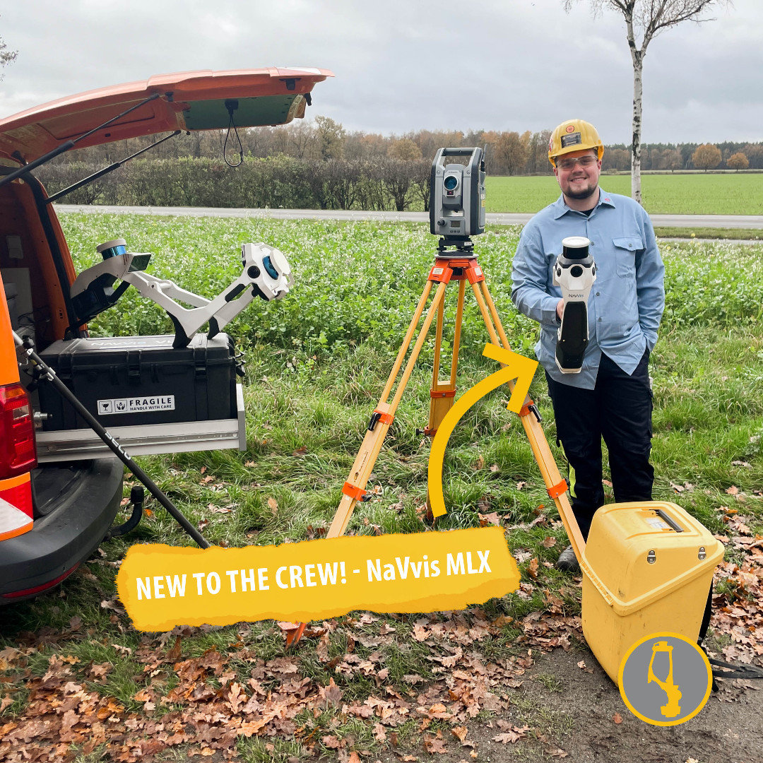
📢 NEW TO THE CREW - Der NavVis MLX! Unser neues, innovatives mobile Kartierungssystem bringt unsere Vermessungstechnologie auf das nächste Level. Der NavVis MLX bietet außergewöhnliche Genauigkeit und Geschwindigkeit bei der Erfassung von 3D-Daten.
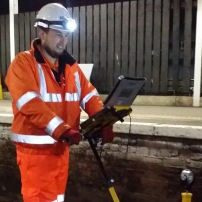
Great project to be involved with to gather the site data quickly, efficiently and accurately for our @ramboll_uk engineering to design the future works. The @NavVisOfficial scanner was able to survey the tunnel and street above here in under 20 minutes @RambollSurvey

A peek behind the scenes as work continues on @CambChildrens, the first specialist children's hospital for the East of England. Graham from @ramboll has been surveying the landscape above and below ground using some cool kit. Watch the video👇Learn more👉 tinyurl.com/3aukrzmt

🌟 Revolutionizing Your Job with NavVis 3D Laser Scanning Systems! 🌟 Contact For Topography Survey Services. Website 🌐: falconsurveyme.com Call Us ☎: +971-4-327-1414 | Email Us 📧: [email protected] Please comments, share and like the post. #falconsurvey

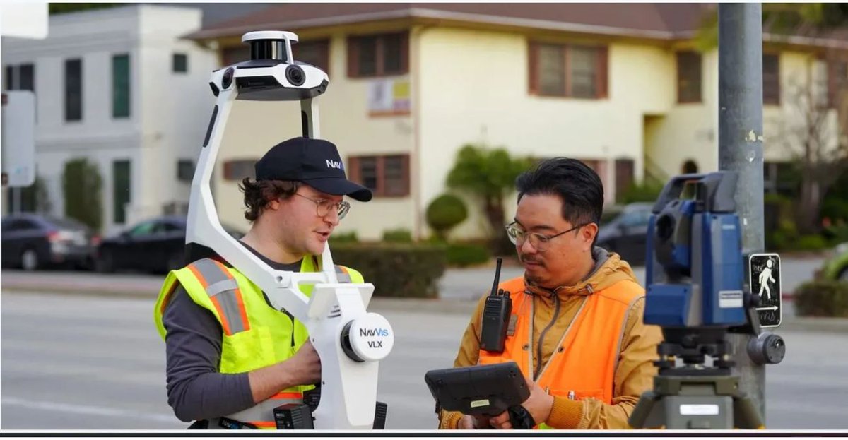
We've ordered the @NavVisOfficial MLX, the first handheld scanner from NavVis, because it: ✨ Captures 640,000 points per second! ✨ Has four 12MP cameras! ✨ Is perfect for navigating tight spaces! @GeoWeekNews: buff.ly/4gtMjoj #NavVis #3DScanning #LiDAR #BIM #AEC
NavVis MLX is out now! Discover why this device will redefine everything you know about handheld #RealityCapture ➡️ navv.is/3ZkiaSy Follow us on LinkedIn and Instagram for all the exciting news to come 🔥


NavVis • NavVis MLX, redefining handheld reality capture 🚀: I am super excited to introduce our new product to you – our brand new NavVis MLX! Why NavVis MLX? You are all professionals, and we know that you depend on delivering reliable data to… dlvr.it/TD30T7


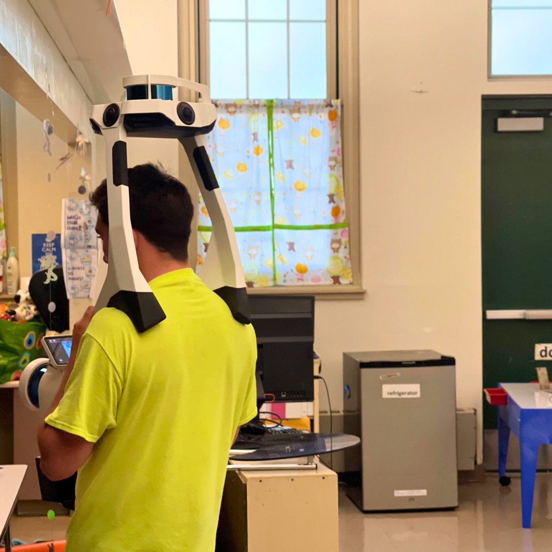
We're on-site in #Connecticut using the NavVis VLX. This technology empowers #architects, building owners, #CRE professionals, & #facilitymanagers to gain a comprehensive understanding of their properties quickly & cost-effectively. Learn more - existingconditions.com/equipment

This in-depth article explains SLAM and how it is being used for topographic surveys @NavVisOfficial blog.lidarnews.com/topographic-su…

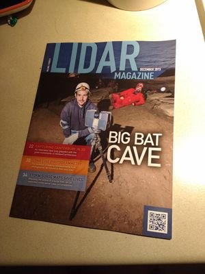
In the transformation from a cavern to a massive underground building, the Mega Caverns never had an accurate land survey relating the recorded legal descriptions to the excavated portions with precise measurements until Qk4, Inc tackled the job in 2022. xyht.com/surveying/taki…


@NavVisOfficial technology vs traditional topographic surveying workflows. Join Noah Eckhous from NavVis & Mike Walle from Denn Engineers to explore how SLAM-based data capture technology transforms topographic survey workflows. Watch video loom.ly/Oxnh2Po


The digital rollout of the NVIDIA GB200 NVL72 system was a collaborative effort with: → @KineticVision scanned the entire facility to kickstart digitalization → @NavVisOfficial VLX wearable lidar scanner for highly accurate point cloud data & panorama photos → @PreVu3D…

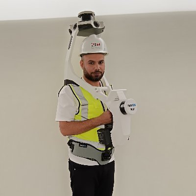
First day of training with the @NavVisOfficial VLX 3. It’s ok if you don’t think I look as cool as I feel. #lidar #industrialscanning #3Dscanning


How to scan entire factories to drive improvements via #DigitalTwin! 👀 📽️ @NavVisOfficial #IoT #SmartFactory #Industry40 @BMW @SpirosMargaris @PawlowskiMario @mvollmer1 @gvalan @ipfconline1 @LaurentAlaus @Shi4Tech @Fisher85M @kalydeoo @Ym78200 @Nicochan33
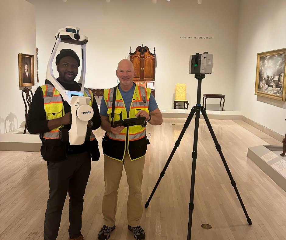
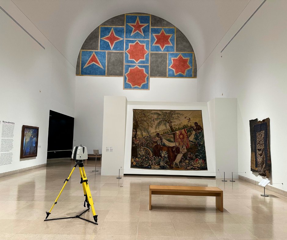
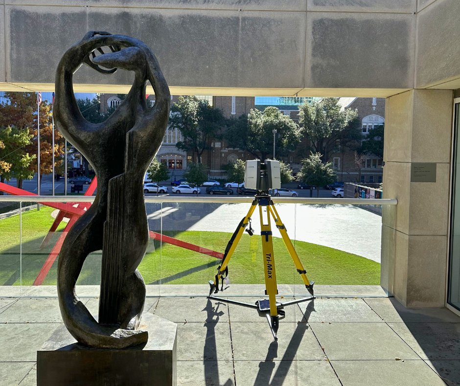
Check out our team on-site at the Dallas Museum of Art in Dallas, Texas, utilizing the Leica RTC360 and NavVis VLX to capture detailed scans of the vast 440,000 square feet property. Learn more now - hubs.la/Q02ghxh80 #existingconditions #3dlaserscanning #dallas #museum


It has been a blast having the NavVis VLX3 device at our #CES2024 booth this year. Our XT32 #lidar integrates seamlessly on their #VLX3 mobile mapping device. We sat down with Kourtney Kirton from NavVis to discuss the integration and why they chose our lidar. Check it out…

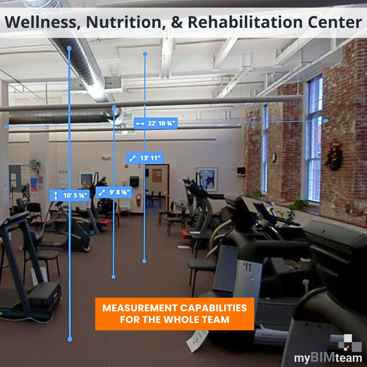
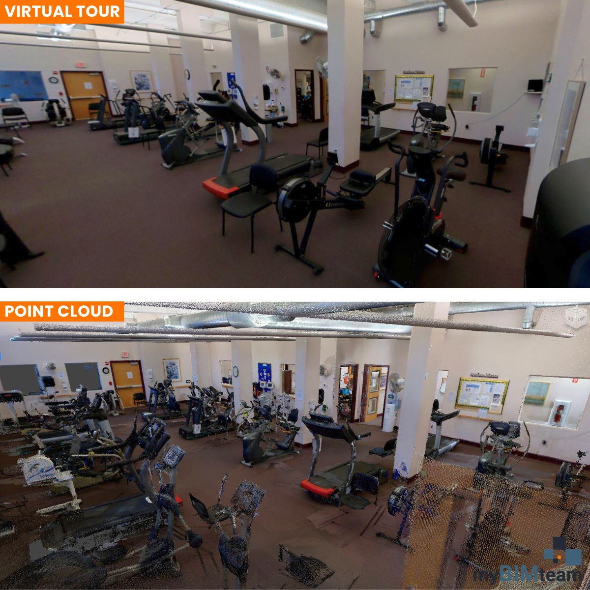
This wellness, nutrition, & rehabilitation facility in Manchester, NH, spans 7,500 SF. We provided the design team with updated #as-built information with the @NavVisOfficial VLX 2 #LaserScanner. The deliverables included a #pointcloud and #virtualtour. #myBIMteam


CES - Great to connect with FLORIAN MUSCHAWECKH and KOURTNEY KIRTON @NavVisOfficial doing duty at the @HesaiTech booth. The VLX3 uses Hesai #LiDAR #realitycapture #digitaltwin #BIM #CES2024 #CES

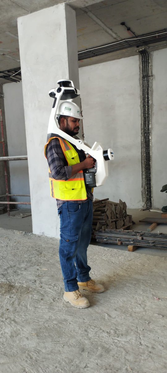
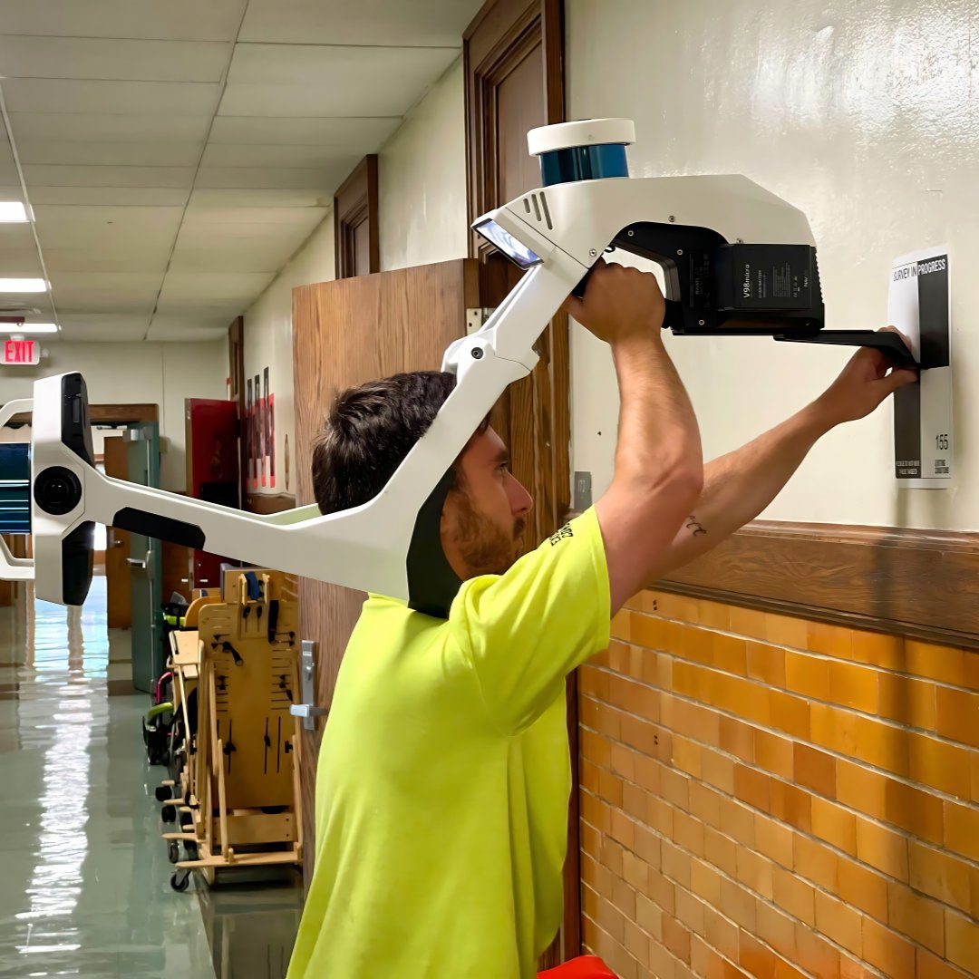
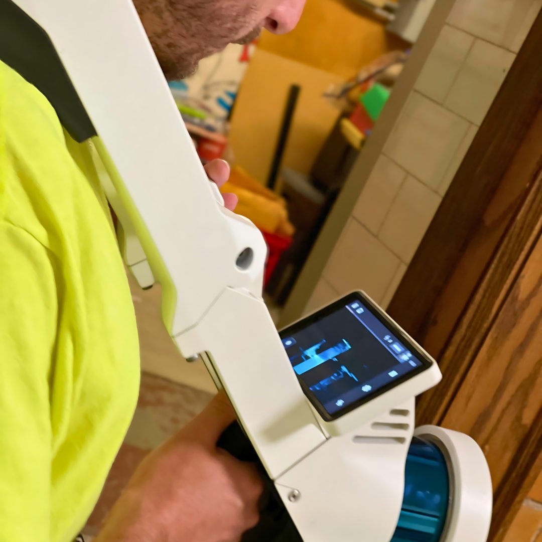
@NavVisOfficial VLX3 revolutionized how we view mobile #SLAM mapping. This first-of-its-kind wearable device enables operators to comfortably scan at walking speed. The forward-facing design allows for targeted scanning, together with a built-in screen for real-time viewing.…


United States Trends
- 1. Markstrom N/A
- 2. Dunesday 1,523 posts
- 3. Tyrese Maxey 1,032 posts
- 4. Joel Embiid N/A
- 5. Eli Knight N/A
- 6. Christmas Eve 133K posts
- 7. Insurrection Act 11.2K posts
- 8. Southern Miss 1,388 posts
- 9. Arsenal 174K posts
- 10. Western Kentucky N/A
- 11. Fight Club 2,467 posts
- 12. Eric Gordon N/A
- 13. PGA Tour 1,092 posts
- 14. Toledo 9,664 posts
- 15. Flagg 3,677 posts
- 16. Ronnie Lott N/A
- 17. Brian's Song N/A
- 18. #TAEHYUNGxCELINE 18.8K posts
- 19. Kennedy Center Honors 17.8K posts
- 20. #TaehyungxVogueJapan 29.2K posts


Something went wrong.
Something went wrong.