


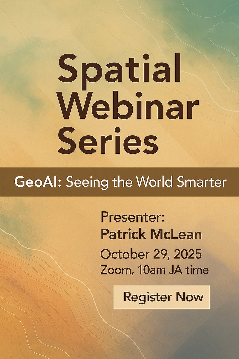
🌍 GeoAI: Seeing the World Smarter 🤖 Join our Spatial Webinar Series on Oct 29, 2025 with Patrick McLean to explore how #GeoAI is transforming GIS — from smarter cities to climate resilience. 💻 Zoom | 🔗 Register now to secure your spot! us02web.zoom.us/webinar/regist… #GIS #AI

Want to spread your love of GIS with others? Share this free @EsriTraining web course with them - they're bound to become GIS fanatics in no time. 🤓 ow.ly/KhKb50Xc189


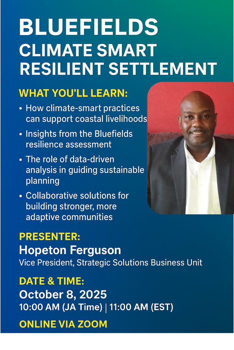
🌊 Happening tomorrow! Join our #SpatialWebinarSeries — Bluefields Climate Smart & Resilient Assessment 🌍 🗓 Oct 8 | ⏰ 10AM (JA) / 11AM (EST) 👤 Hopeton Ferguson, VP – Strategic Solutions Learn how geospatial insights drive #ClimateResilience & #Sustainability. #GIS

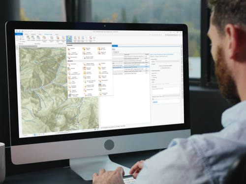
Get started with #ArcGISDataReviewer basics such as understanding the importance of data quality management, exploring data quality checks for ArcGIS Pro, and more. It's included in your Professional Plus user type - try it today: ow.ly/Jvpw50WZIXR

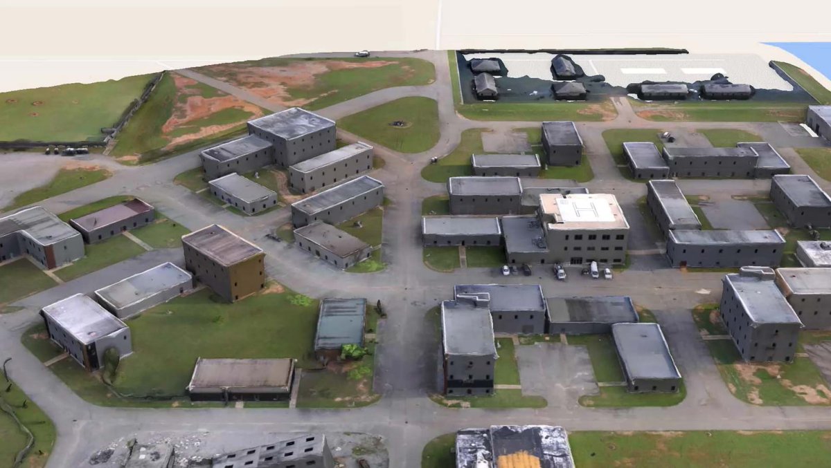
At a recent exercise, #SAR teams built a 3D digital twin of the training center, planned sweeps, and tracked teams live with SARCOP. That’s precision in action, made possible by #GIS. Read more: ow.ly/WpV850WPEmi #DisasterResponse #DigitalTwin #Drones

If you spend hours managing content through your ArcGIS Online organization, check out this course: ow.ly/ckTN50X0XCF 🐍🌎ArcGIS API for Python can help you save time by automating workflows. #ArcGIS #GIS #Python

📢 Webinar Update Our Spatial Webinar Series: Bluefields Climate Smart & Resilient Assessment has been rescheduled to Oct 8, 2025. ⏰ 10:00 AM JA | 11:00 AM EST 💻 Zoom Already registered? No worries—your spot is still confirmed! 👉 Register here: us02web.zoom.us/webinar/regist…
🌍✨ Join our Spatial Webinar Series! 📌 Topic: Bluefields Climate Smart & Resilient Assessment 👤 Presenter: Hopeton Ferguson, VP, SSBU, Spatial Innovision 🗓 Date: Sept 24, 2025 | ⏰ 10AM (JA) / 11AM (EST) 💻 Online via Zoom 👉 Register: us02web.zoom.us/webinar/regist… #ClimateSmart
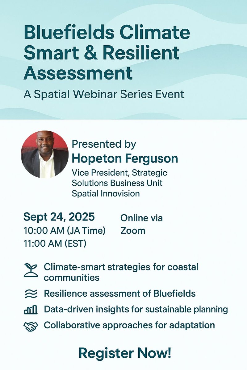
🌍✨ Join our Spatial Webinar Series! 📌 Topic: Bluefields Climate Smart & Resilient Assessment 👤 Presenter: Hopeton Ferguson, VP, SSBU, Spatial Innovision 🗓 Date: Sept 24, 2025 | ⏰ 10AM (JA) / 11AM (EST) 💻 Online via Zoom 👉 Register: us02web.zoom.us/webinar/regist… #ClimateSmart
Have you heard about the new tasks feature in ArcGIS Field Maps? 💭🚧 Join our next live training seminar to learn how tasks can help you simplify data collection! 🌎Register today: ow.ly/eX6850X0zrq

Learn Python, script, save time! 🐍 👉ow.ly/O0XJ50WYpAx Learn how to automate ArcGIS workflows in this web course.

🚀 AgEagle is now EagleNXT! Same innovation, new name. From precision agriculture 🌱 to advanced mapping 🛰️, EagleNXT drones deliver smarter aerial solutions. Interested in a fixed-wing drone? Contact us: [email protected] #EagleNXT #DroneTech #SpatialInnovision

🚨 Webinar Alert! Join us on June 25 at 10AM JA / 11AM EST for “Harnessing the Power of GIS: Transforming Emergency Management” 🌍🛰️ 📍Via Zoom 📝 Register now: us02web.zoom.us/webinar/regist… #GIS #EmergencyManagement #Webinar #SpatialInnovision #DisasterResponse


United States 趨勢
- 1. #CashAppPools N/A
- 2. Canada 415K posts
- 3. Reagan 182K posts
- 4. Ashley 151K posts
- 5. Immigration 155K posts
- 6. #ROGXboxAllyXSweepstakes N/A
- 7. #HaloWC 2,992 posts
- 8. Letitia James 57.8K posts
- 9. #FursuitFriday 15.5K posts
- 10. Kyler Gordon N/A
- 11. West Ham 6,313 posts
- 12. #WorldSeries 42.3K posts
- 13. Rod Wave 2,905 posts
- 14. Gerald R. Ford 16.1K posts
- 15. Revis N/A
- 16. Tish 13.9K posts
- 17. Chelsea 92.4K posts
- 18. Uncut Gems N/A
- 19. Tamar 4,112 posts
- 20. Kevin Garnett 3,363 posts


Something went wrong.
Something went wrong.