
Saurabh Patil
@saurabh_wx
PhD student at School of Meteorology, OU.
You might like


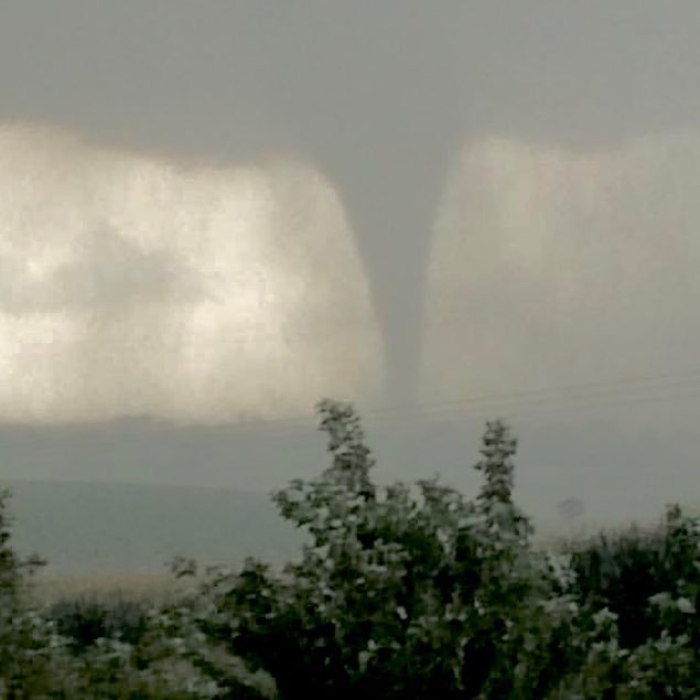
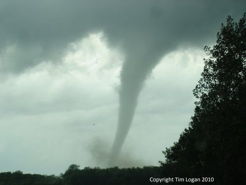
The stunning timelapse of the mother tornadic supercell dropping an atleast EF-3 (Prelim.) tornado in the north-west part of Rose Hill that moved later over Andover, Kansas on Friday (April 29th) at 8:10 PM.@Drewshearer444 @spice_small @bradwxman @caseyh0210 @ConnorbruceWX #kswx
Insane display of Aurora last night from lake Thunderbird in East Norman, OK! #Aurora #northernlights #okwx #lakethunderbird


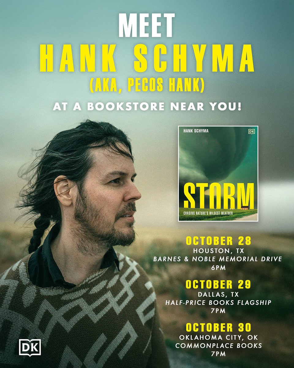
My new book hits stores across the globe on Tuesday. If you’re near Houston, Dallas, or Oklahoma City swing by and say howdy.
Comet Lemmon over the Shenandoah Valley in Virginia ✨✨ 📍Skyline Drive above Elkton Va. 10/22 Photo details in replies below.


Comet C/2025 A6 (Lemmon) Clicked near Putnam , Oklahoma. 21st Oct 2025 #comet #lemmon #cometlemmon #okwx

Photographed this insane SPRITE last night from the observation deck of National Weather Center, Norman! #okwx #TLE #SPRITES #THUNDERSTORM


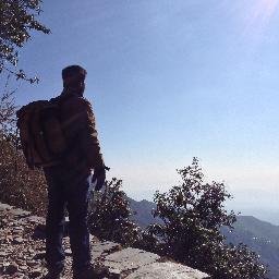
Bucketlist shots from my chase day today! My TOP chase with 5 tornadoes in a day. 🤞🏻Arnett, OK. #okwx #tornadoes #stormchasing


Here's one of my "the shot" photos I finally got to edit of the Matador, TX tornado on April 24th, 2025.


1/ With recent model guidance and observational trends, I can say with high confidence that there is a chance of a localized tornado outbreak across portions of Central OK/S KS/N TX today. What has caused my confidence in a high-end outcome to increase?
Here's my "money shot" from last night. We did get dryline storms, but overall, it was mainly a hail/wind threat. Still, it was a nice way to enjoy a Saturday with friends!

1/2 I usually don’t post politics, but today is sadly an extraordinary day. Cutting NWS forecasters and NOAA researchers will likely results in an inability for something understaff to “protect life and property”. This will have irreversible damages to the weather community for..
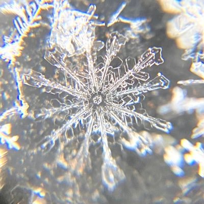
Captured these beautiful snowflakes yesterday (01/05) from the first snow of the season in Norman, Oklahoma. #okwx


United States Trends
- 1. #AEWDynamite 43.8K posts
- 2. Lakers 46.7K posts
- 3. Epstein 1.45M posts
- 4. #AEWBloodAndGuts 5,494 posts
- 5. #Survivor49 3,470 posts
- 6. Darby 5,216 posts
- 7. Jokic 14.7K posts
- 8. Kyle O'Reilly 1,566 posts
- 9. Steph 23.8K posts
- 10. Moxley 2,727 posts
- 11. Hobbs 28.1K posts
- 12. Thunder 40K posts
- 13. Warriors 47.3K posts
- 14. Caruso 3,815 posts
- 15. #SistasOnBET 2,195 posts
- 16. Skye Blue 4,202 posts
- 17. Rory 6,996 posts
- 18. Blood & Guts 24.3K posts
- 19. Draymond 8,373 posts
- 20. Paul Reed 2,104 posts
You might like
-
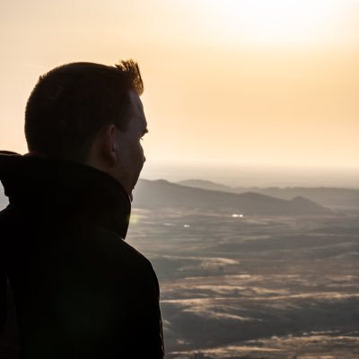
 Matt Ammon
@matt_ammon_wx -
 Elizabeth Spicer
@spice_small -
 Andrew Shearer
@Drewshearer444 -
 RiLeY ALDeN 🌩
@RiLeYAlDeN8 -
 Bradley Lamkin
@bradwxman -
 Stephen Jones
@Tornado_Steejo -
 Cameron Nixon
@CameronJNixon -
 Dr. Andrew Dzambo
@DrAndrewDzambo -
 Emily Barbini
@barbini_wx -
 Cameron Homeyer
@AtmoScientist -
 Andrea Gordon
@andreaegordon -
 Parker Alvstad
@alviewx -
 Angela Mose
@Langela_Spout
Something went wrong.
Something went wrong.