#learngis search results

So nice of Jack Dangermond, founder of @Esri to say hi to NSS faculty and students! Thanks to the Esri team for your hard work in today's open house. All the presentations were inspirational & informative! #GIS #LearnGIS #careersingeography #CalStateLA #calstatelanss


Whether you're a spatial enthusiast, a professional, or a student looking to grow your knowledge in #GIS - this is the place! Join our #trainingprogram and #learnGIS👇 hubs.li/Q01CHD660


This #ArcGISEnterprise course will help you master techniques to configure and maintain an ArcGIS Enterprise solution that meets your organization's business needs. Join us Nov 21-23: esri.social/xEcF50LHAUK #ArcGIS #LearnGIS


For GIS users who don’t know how to write Python scripting for an automated workflow, I would advise for you to use Model Builder. This brilliant idea is a game changer! Converting long scripts to a more simple and managable visualized boxes (toolboxes, iterations etc.) #LearnGIS


#DidYouKnow about Real Estate Metrics: #GIS helps you to choose the right house to buy or build based on distance to schools, parks, transit stops and other geospatial metrics. #learngis #learning #architecture #cityplanning


Have you tried Esri Academy's Learning Plans? Learning Plans provide a sequence of courses on a range of topics. Plans can be assigned to students or used to guide your own learning! @EsriTraining #LearnGIS Ready to learn? ow.ly/zg1m50Ixu7N
This #ArcGISEnterprise course will help you master techniques to configure and maintain an ArcGIS Enterprise solution that meets your organization's business needs. Join us Jan 17-19, or Jan 23-35: esri.social/tFoW50MohPn #ArcGIS #LearnGIS


Free professional development to #GIS professionals for 20 years! Watch when you need it ow.ly/EgzQ30nb6Ms #learnGIS #GISsolutions

Did you know that potholes in this country could be identified and fixed on time with the use of GIS 👀 (image from Ghana web) #gishub #learngis #learning #architecture #planning #cityplanning #DidYouKnow


Lindsey the GIS Professional is now available! Check out lindseylovesmaps.com to find games for #GIS fun at home and STEAM resources to incorporate Lindsey in the classroom. You can also meet me, the real Lindsey and my brother, Tyler Danielson, GISP #esripress #learngis

🌐 Whether you're diving into GIS for the first time or already a seasoned pro, there's something for everyone. Learn the basics with this (free) course: hubs.li/Q02sSnyJ0 Let's map out the future together! #GIS #LearnGIS #FreeCourse #MappingSuccess


"Geosense Research Lab is offering the second Online course of GIS. We hope that those interested in learning GIS will join this course and benefit from it." #GISCourse #LearnGIS #GISTraining #SpatialAnalysis #GeospatialEducation #GISSkills #GeospatialLearning #MapSkills #Geo


A new way to access Esri’s e-Learning resources ➡️ ow.ly/TrK350GFJet @EsriTraining @Esri #GIS #learnGIS

Have you ever wondered, 'this piece of signboard/billboard should not be here' before? Turns out, it could be regulated if the authorities used #GIS to do inventory and ensure safety standards. This checks potholes and sagging electric lines. #gishub #learngis #DidYouKnow


🗺️ Whether you're embarking on your GIS journey or aiming to polish your skills, this GIS Basics free course is your gateway to mastering the essentials. #GISCommunity #LearnGIS #FreeGISCourse 🔗 esri.social/Yy3Q50SsbRk


You know... That huge Island group north of mainland Scandinavia. #theRightProjection @svt #learnGIS

Yale GIS Support Services HOME EDITION at @YaleMarxLibrary @yalelibrary never stop! We do it because we love it, and we love it because #GIS saves lives! Geospatial Consultants @Chalkemort Henry Glick @Miriam_GeoGk #LearnGIS @Yale #ScienceHill guides.library.yale.edu/GIS


Build your foundation with #ArcGISEnterprise in this 5-course plan! Enroll now to discover resources for projects, publish maps, and more! esri.social/z9NV50LHB4j #ArcGIS #LearnGIS


Ready to upskill? Join Geoinfo Academy & become a GIS Expert today. Online & Physical Classes Available Register for our September Cohort 👉 Apply NOW at: geoinfoacademy.com 📞 +234 707 070 8909 #GIS #Upskill #LearnGIS #GeoinfoAcademy #SkillUpgrade

Want to take your #GIS skills to the next level? The Modern GIS Hub is your gateway to hands-on learning, interactive tutorials, and real-world projects. Check it out: ow.ly/FvoL50WRfBU #ModernGIS #LearnGIS #SpatialThinking


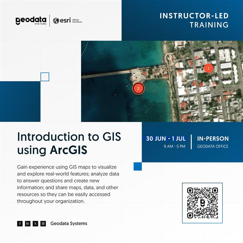
Turn data into decisions with GIS. Discover the power of spatial data and learn to create, analyze, and share maps that matter. 👉Enroll now —and don’t forget to share this with your team or network! geodatasystems.info/gisa-jun-train… #GISTraining #ArcGIS #LearnGIS

Day 57 Revision Recap 🔁 🌍 Strengthening core GIS concepts 🧠 Practicing logic & analysis for smarter mapping 🛰️ Getting confident with spatial thinking Each day is a step closer to becoming a GIS Developer at Esri! #GIS #GeoDev #LearnGIS #RemoteSensing #GeoInformatics
💡 Learn. Practice. Elevate. 📍 Lagos Edition 📲 Ready to level up? Join the next session at geoinfoacademy.com or call 08163222177 / 08134101202 #GISProfessionals #DroneMapping #LearnGIS #SpatialSkills #RemoteSensing #UAVTraining

📈Elevate your GIS capabilities!✍️ Equip yourself with the skills to design, manage, and analyse spatial data at scale—book your spot now. Enrol today: kartoza.com/training/intro… #kartoza #GIS #learngis #postgis #opensource


Master GIS with ArcGIS! Learn practical skills in remote sensing, land use planning, and more. Transform your skills with hands-on projects. Join us now at sonekdataschool.com #ArcGIStraining #GISCourse #LearnGIS

Master GIS with ArcGIS! Learn practical skills in remote sensing, land use planning, and more. Transform your skills with hands-on projects. Enroll for our May intake ; sonekdataschool.com #ArcGIStraining #GISCourse #LearnGIS


"New to GIS? Start small! 🌍 ✅ Learn vector data (points, lines, polygons) ✅ Explore raster data (satellite images) ✅ Use free tools like QGIS & Google Earth GIS is a journey—take it one step at a time! 🚀 #GISForBeginners #LearnGIS #MappingTheWorld"

The world is awash in spatial data, and there are more ways to apply GIS than ever before. It’s time to rethink how GIS is being taught. esri.social/14ki50TYvJ0 #GIS #learnGIS #teachGIS #data #spatialdata

Check out these new books from @EsriPress, which cover the power of geography, mapping the ocean floor, Python scripting for ArcGIS Pro, how to design better maps, and more! esri.social/6hFq50TYnTc #Esri #GIS #learnGIS #geography #maps #mapping #3D


A new way to access Esri’s e-Learning resources ➡️ ow.ly/TrK350GFJet @EsriTraining @Esri #GIS #learnGIS

Whether you're a spatial enthusiast, a professional, or a student looking to grow your knowledge in #GIS - this is the place! Join our #trainingprogram and #learnGIS👇 hubs.li/Q01CHD660
So nice of Jack Dangermond, founder of @Esri to say hi to NSS faculty and students! Thanks to the Esri team for your hard work in today's open house. All the presentations were inspirational & informative! #GIS #LearnGIS #careersingeography #CalStateLA #calstatelanss

This #ArcGISEnterprise course will help you master techniques to configure and maintain an ArcGIS Enterprise solution that meets your organization's business needs. Join us Nov 21-23: esri.social/xEcF50LHAUK #ArcGIS #LearnGIS
Free professional development to #GIS professionals for 20 years! Watch when you need it ow.ly/EgzQ30nb6Ms #learnGIS #GISsolutions
Learn how to visualize and analyze #imagery, discover how to best prepare for change, and get motivated to take a certification exam with these course offerings from @EsriTraining. ow.ly/UW7P50EiYTl #GIS #learnGIS

New books from @EsriPress cover a range of topics, from how to design map interfaces to how to use location analytics in business. Check out the new titles! esri.social/Xw5450MBlux #GIS #learnGIS #ArcGIS


This #ArcGISEnterprise course will help you master techniques to configure and maintain an ArcGIS Enterprise solution that meets your organization's business needs. Join us Jan 17-19, or Jan 23-35: esri.social/tFoW50MohPn #ArcGIS #LearnGIS
🌐 Whether you're diving into GIS for the first time or already a seasoned pro, there's something for everyone. Learn the basics with this (free) course: hubs.li/Q02sSnyJ0 Let's map out the future together! #GIS #LearnGIS #FreeCourse #MappingSuccess
#DidYouKnow that fire hydrants can be managed and monitored using #GIS: to locate hydrants in a municipality, mark its general condition, date for greasing the caps and exercising the valve. 💡How many fire Hydrants have you seen around in Ghana👀? #learngis #gishub #cityplanning


#DidYouKnow about Real Estate Metrics: #GIS helps you to choose the right house to buy or build based on distance to schools, parks, transit stops and other geospatial metrics. #learngis #learning #architecture #cityplanning
.@EsriTraining offers new instructor-led courses that cover dashboards and data, MOOCs on spatial data science and apps, and more. ow.ly/qjvB50GFMWX #GIS #learnGIS #dashboards #data #MOOC #spatialdatascience

The world is awash in spatial data, and there are more ways to apply GIS than ever before. It’s time to rethink how GIS is being taught. esri.social/14ki50TYvJ0 #GIS #learnGIS #teachGIS #data #spatialdata
Learn about captivating ways to display data, better systems for sharing GIS resources, the fundamentals of spatial analysis, and much more in these new courses from @EsriTraining. ow.ly/wefB50ICsx6 #GIS #learnGIS

To help high schoolers tackle problems ranging from food insecurity to the digital divide, Nick Okafor, an instructor at MIT's Online Science, Technology, and Engineering Community (MOSTEC), champions the geographic approach. ow.ly/Z9k750Hxsjn #geography #GIS #learnGIS


Want to take your #GIS skills to the next level? The Modern GIS Hub is your gateway to hands-on learning, interactive tutorials, and real-world projects. Check it out: ow.ly/FvoL50WRfBU #ModernGIS #LearnGIS #SpatialThinking
Follow-up event: Yale StoryMaps Network StoryMaps Clinic - join us and work in your StoryMap. @RossDonihue & I will be there to guide you RSVP bit.ly/SMClinic #learnGIS #maps #data #storytelling #GIS #maps @ArcGISStoryMaps

Did you know that potholes in this country could be identified and fixed on time with the use of GIS 👀 (image from Ghana web) #gishub #learngis #learning #architecture #planning #cityplanning #DidYouKnow
Something went wrong.
Something went wrong.
United States Trends
- 1. #SmackDown 17.7K posts
- 2. Caleb Wilson 1,916 posts
- 3. Darryn Peterson 1,606 posts
- 4. Kansas 21.6K posts
- 5. Reed Sheppard N/A
- 6. Georgetown 2,923 posts
- 7. Vesia 5,880 posts
- 8. Dizzy 12.3K posts
- 9. Tiller 4,075 posts
- 10. End of 1st 1,850 posts
- 11. #kubball N/A
- 12. #GCWUnderstand N/A
- 13. UMass Lowell N/A
- 14. Oakland 3,335 posts
- 15. End 1Q N/A
- 16. End of the 1st 1,165 posts
- 17. #TheLastDriveIn N/A
- 18. Bill Self N/A
- 19. Bruce Thornton N/A
- 20. Zelina 1,177 posts