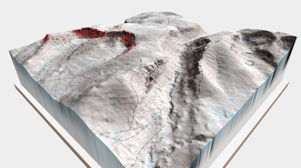
#qgis2threejs 搜尋結果


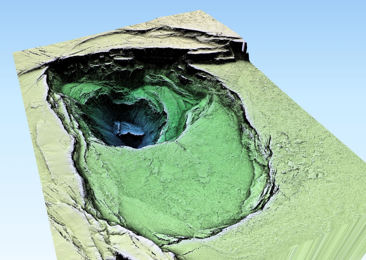
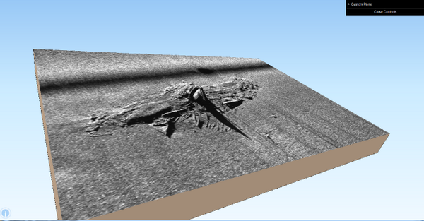
Here is the interactive 3D model on the web #TopoUSM + #Qgis2threejs with USGS July 2018 Kilauea LiDAR data. tmp.ikgm.net/Kilauea_HTML3.…


Open #lidar + open aerials + bit of #FME processing + #QGIS2threejs = 3D city model in a few minutes. This one is from #Vaasa.

Accidentally creating map art with the wrong click of a #Qgis2threejs button 🙊 Great (&free!) #DataFest17 workshop, thanks @MapNav_Tom

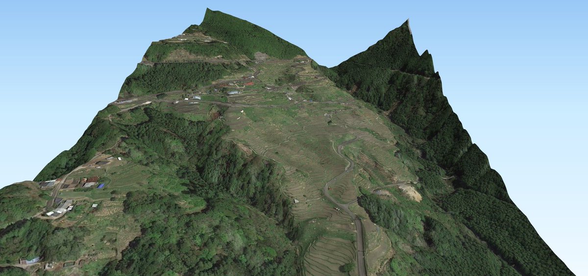
This time using plugin #qgis2threejs instead of #QGIS built-in 3D support. Worked a lot better and was really a lot easier to handle. Still far from perfect, and completed in #Gimp (CC-0).


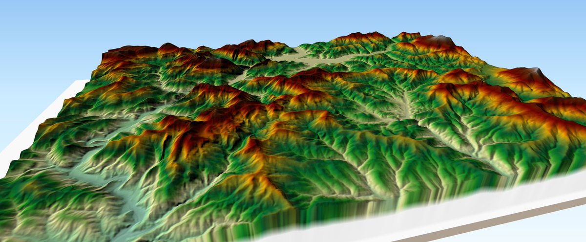
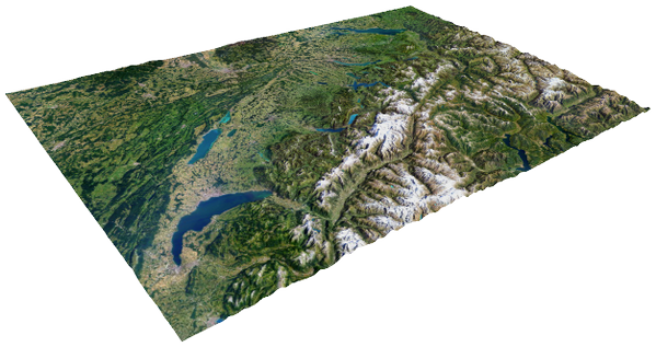
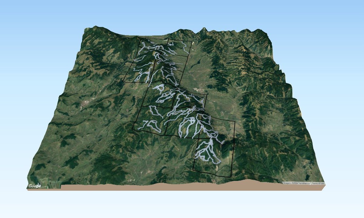
#3D model of Switzerland with the great @QGIS plugin #QGIS2threejs and #SRTM data data.deltaecho.net/switzerland-3d/ #WebGL

#30DayMapChallenge Day 10: 3D My first-ever 3D map, but easy to get started thanks to #Qgis2threejs. My running route, but DK is flat, so elevation exaggerated x10, which is the correct subjective feeling while running, especially the beautiful steep bank of Vosnæs Pynt on right
One more of these GIFs. Funny how flat #Finland is and how shallow the Baltic sea seems to be. #qgis2threejs

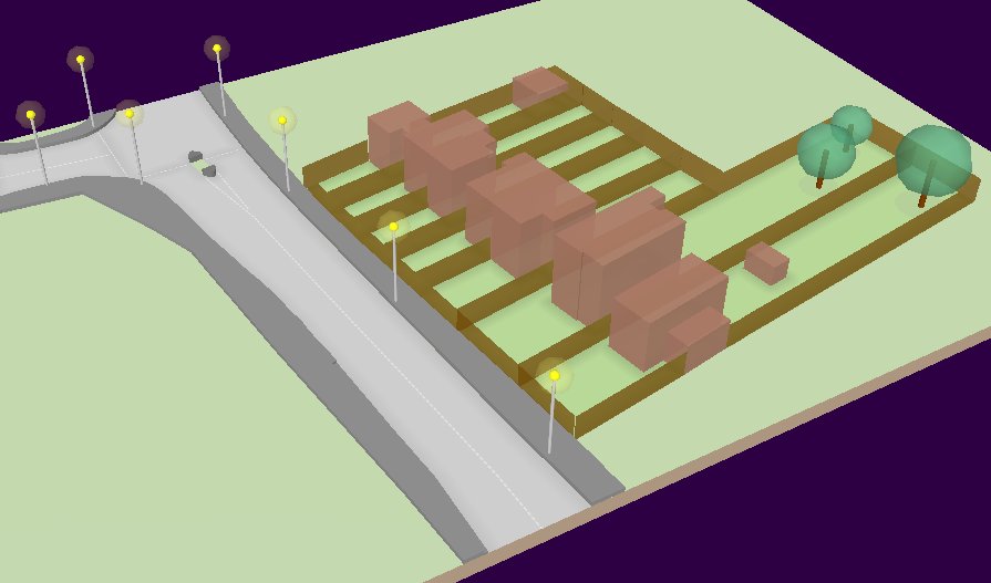
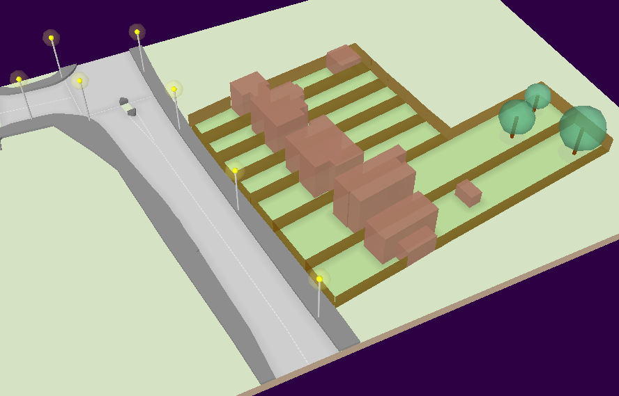
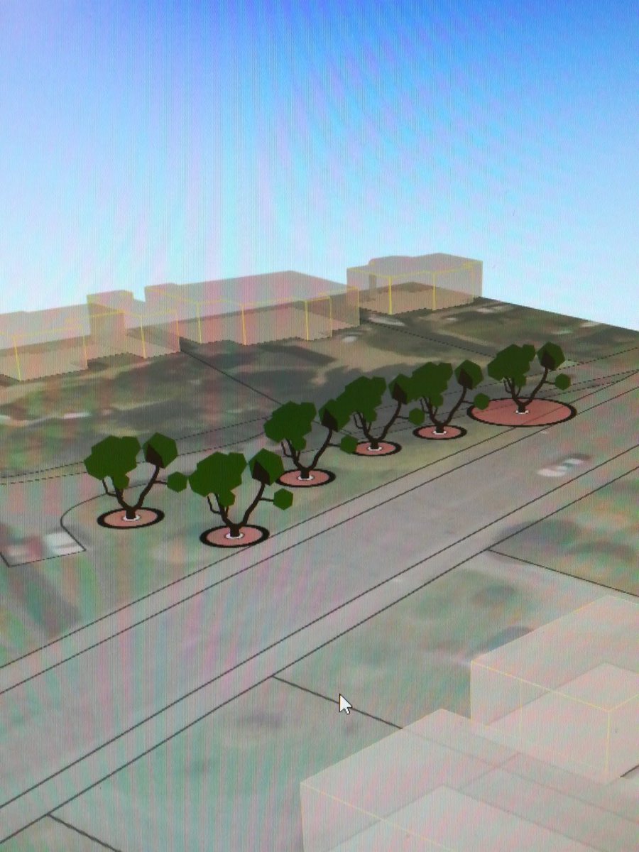
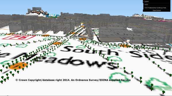
#MapFriday You can also use @qgis plugin #Qgis2threejs to make MasterMap 3d too, along with little trees.

آداة بناء نماذج ثلاثية الأبعاد تحتوي على معادلات جبارة لتشكيل أبعاد ثلاثية عالية الجوده لطبوغرافية سطح الأرض الآداة متوفره في مكتبة البرامج الملحقه في برنامج #QGIS #Qgis2threejs مصدر الصور: مستخدمي الآداة من @Twitter
Yet another #qgis2threejs #dataviz. This time from Japan with #GEBCO bathymetry data and some @stamen watercolor on top.

Just had to make one more of these #qgis2threejs #dataviz GIF's. The #GEBCO data is so great with this.
Something went wrong.
Something went wrong.
United States Trends
- 1. Good Wednesday 26.8K posts
- 2. #wednesdaymotivation 2,269 posts
- 3. Oslo 260K posts
- 4. #MerryChristmasJustin 7,794 posts
- 5. María Corina Machado 218K posts
- 6. Hump Day 9,379 posts
- 7. Ana Corina Sosa 5,025 posts
- 8. Immanuel 3,101 posts
- 9. Happy Hump 6,404 posts
- 10. #ดีว่าราวีวันนี้ในโรงภาพยนตร์ 780K posts
- 11. #FairiesLingOrmAtTheMall 391K posts
- 12. #Wednesdayvibe 1,946 posts
- 13. LINGORM CHRISTMAS FAIRIES 343K posts
- 14. Waffle House 3,108 posts
- 15. Premio Nobel de la Paz 141K posts
- 16. percy 29.5K posts
- 17. Therefore the Lord 1,968 posts
- 18. Gowdy 6,530 posts
- 19. annabeth 9,449 posts
- 20. Noruega 82.8K posts