#spatialdatascience 搜尋結果

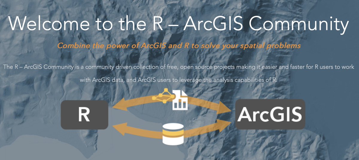
Important R paper just out: "arcgisbinding: An R package for integrating R and ArcGIS" sciencedirect.com/science/articl… Package at this repo: github.com/R-ArcGIS/r-bri… Software + data: github.com/orhuna/arcgisb… #spatialdatascience


The clock is ticking! ⏰ We're only one month away from #SpatialDataScience opening day. Join if you want FREE access to: 💗ArcGIS Pro 💗ArcGIS Online 💗ArcGIS Notebooks 💗ArcGIS Spatial Analyst 💗ArcGIS Image Analyst Sign up → esri.social/9c3N50PfHKZ

When one #MOOC closes, another one is right around the corner. Register for #SpatialDataScience → esri.social/q4j650OIbE7

🏙️ Para identificar os locais mais urgentes para a criação desses refúgios climáticos, foi realizada uma análise multicriterio com 5 fatores diferentes de importância. Permitindo usar dados para a tomada de decisão no planeamento da cidade. (3/6) #spatialdatascience #python

Esri's (free) #SpatialDataScience MOOC returns next month! Sign up to explore the latest #ArcGIS tools and workflows. 💻 All experience levels are welcome. Save your spot → esri.social/ufaN50P592z


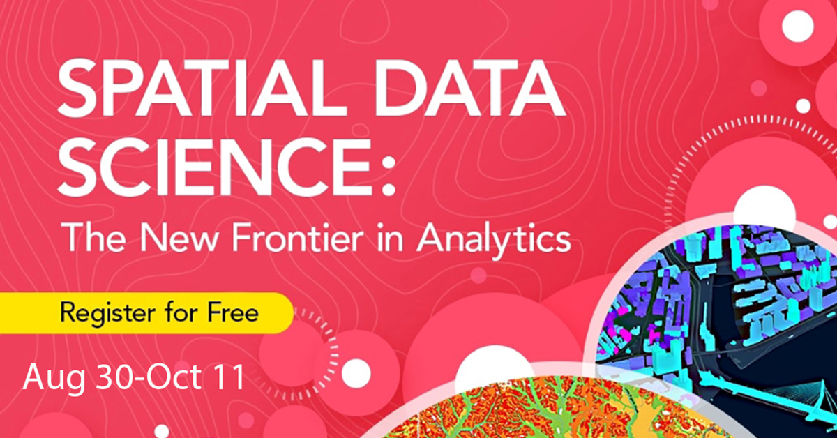
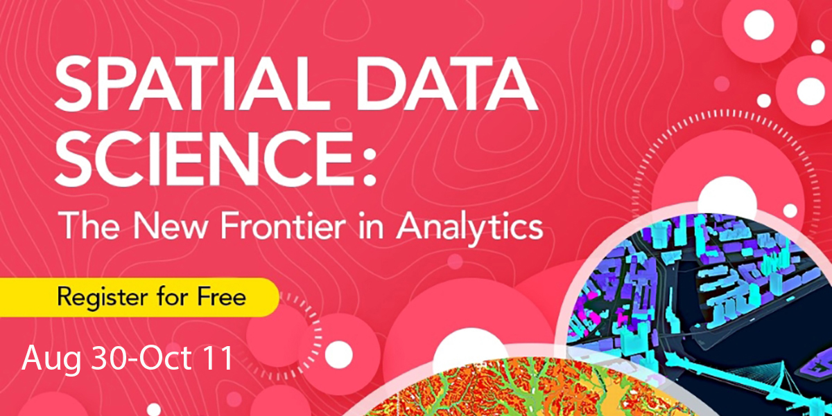
100 days until our (free) #SpatialDataScience #MOOC opens! 🤩 Explore how to use location to find patterns and tackle complex problems. Free access to #ArcGIS software is provided. Register → esri.social/HYkT50OpGus
R Universe Package Finder! This search engine by rOpenSci makes it easy to find an R package for your data science needs, with over 12,000 catalogued packages! (via @ucsb_nceas) r-universe.dev/search/ #openscience #spatialdatascience
Week 2 of our Spatial Data Science #MOOC is now open! We're exploring prediction — one of the most commonly discussed applications of #spatialdatascience. Not signed up? Register now → esri.social/zZ8A50PInvp


#SpatialDataScience 82% 🔝🔋💻⚡️ 🎯 #ArcGISPro #Statistics #DataPatterns #SpaceTimePatternMining #DeepLearning


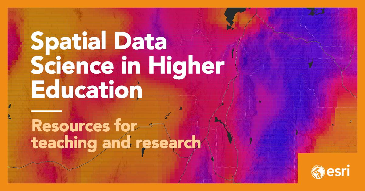
The Spatial Data Science in Higher Education page has a fresh new look ✨ . Here are resources for teaching and research, helping you unlock the full potential of #spatialdatascience in your courses 🙌esri.social/3fIY50TMAJA

Important new paper just out: "arcgisbinding: An R package for integrating R and ArcGIS" esri.social/sEGN50QhIbY Package is at this repo: esri.social/IZB350QhIbZ Software + data are here: esri.social/Qygq50QhIc0 #spatialdatascience

During the #EsriUC2023 Plenary, Jack Dangermond shared that #SpatialDataScience technology is continually advancing. Join Esri's free course next month to learn the latest. We'll provide the #ArcGIS software. Save your spot: esri.social/Wvf850P7Pgn


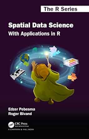
(Open Access) Spatial Data Science: With Applications in R - freecomputerbooks.com/Spatial-Data-S… Look for "Read and Download Links" section to download. Follow/Connect me if you like this post. #SpatialData #DataScience #SpatialDataScience #SpatialAnalysis #programming #DataAnalysis
For all things #spatialdatascience in #highereducation, check out this webpage with: ✔️ Case studies ✔️ On-demand webinars ✔️ Articles ✔️ Resources Check it out: esri.social/NTf450PxMoH . #datascience #spatiadata #GeoAI


We're just one month away from #SpatialDataScience opening day! Join and gain FREE access to a powerful suite of tools, including: ✔️ArcGIS Pro ✔️ArcGIS Online ✔️ArcGIS Notebooks ✔️ ArcGIS Spatial Analyst ✔️ ArcGIS Image Analyst Sign up → hubs.li/Q01Zq8Kb0

#SpatialDataScience 100% 🎯⚡️💻🔋🥇🏆 #ArcGISPro #Statistics #DataPatterns #SpaceTimePatternMining #DeepLearning #StoryMaps #ArcGISOnline

🚨 Today is the FINAL day to secure your spot in this year’s Spatial Data Science MOOC! 🚀 Don’t miss your chance to dive into cutting-edge GIS techniques and data science tools. 🌍✨ Enroll now ➡️ hubs.li/Q02PtWzb0 #SpatialDataScience #MOOC #GIS

Something went wrong.
Something went wrong.
United States Trends
- 1. Bondi Beach 231K posts
- 2. Hanukkah 84.3K posts
- 3. Good Sunday 60.9K posts
- 4. Gunther 95K posts
- 5. Naveed Akram 26.6K posts
- 6. Brown University 240K posts
- 7. Spurs 74.2K posts
- 8. John Cena 590K posts
- 9. Chanukah 19.4K posts
- 10. Wemby 53.6K posts
- 11. Chabad 8,699 posts
- 12. Triple H 104K posts
- 13. Chrisean 7,906 posts
- 14. TOP CALL 6,324 posts
- 15. Rhode Island 58.6K posts
- 16. #JungkookxElleKorea 85.3K posts
- 17. Guns 82.7K posts
- 18. Market Focus 3,186 posts
- 19. Chet 17.4K posts
- 20. #UFCVegas112 22.1K posts