#surveying search results

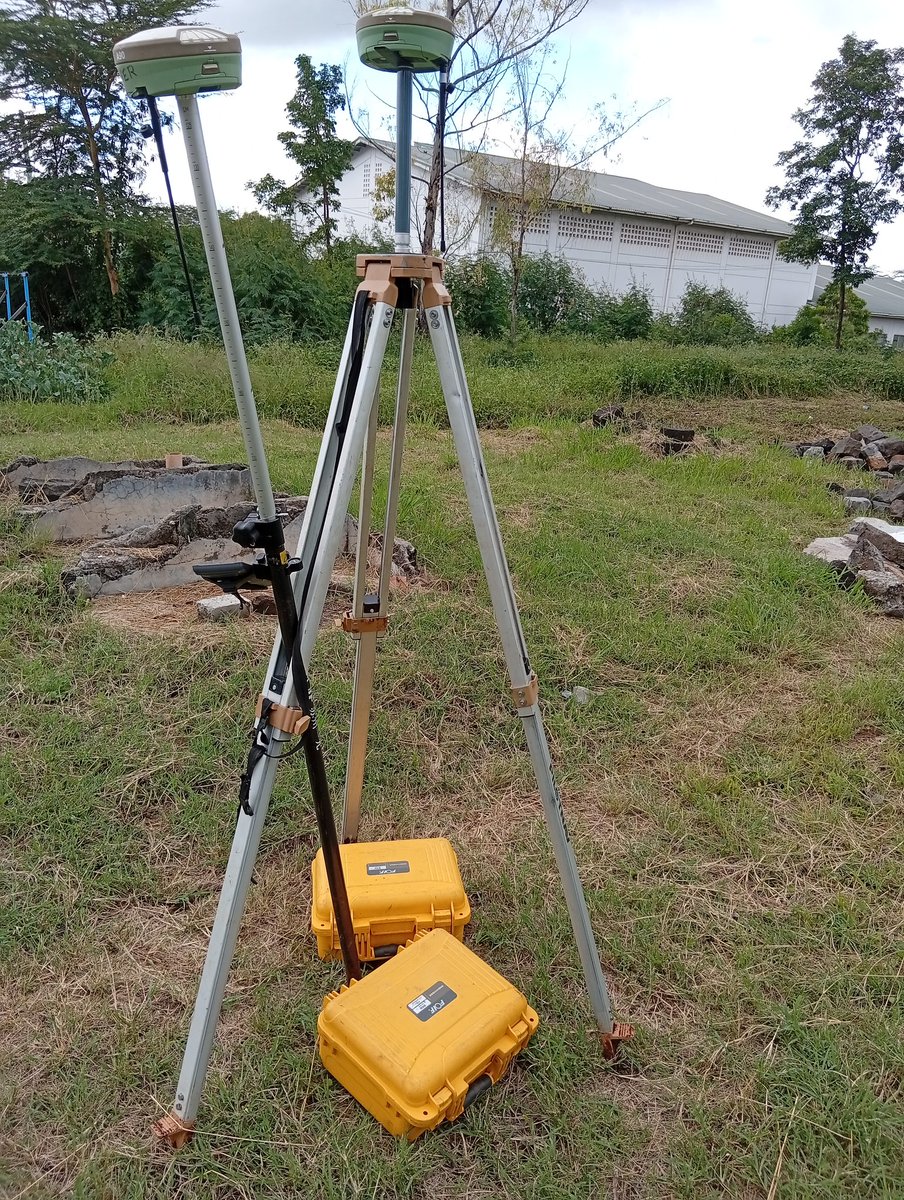
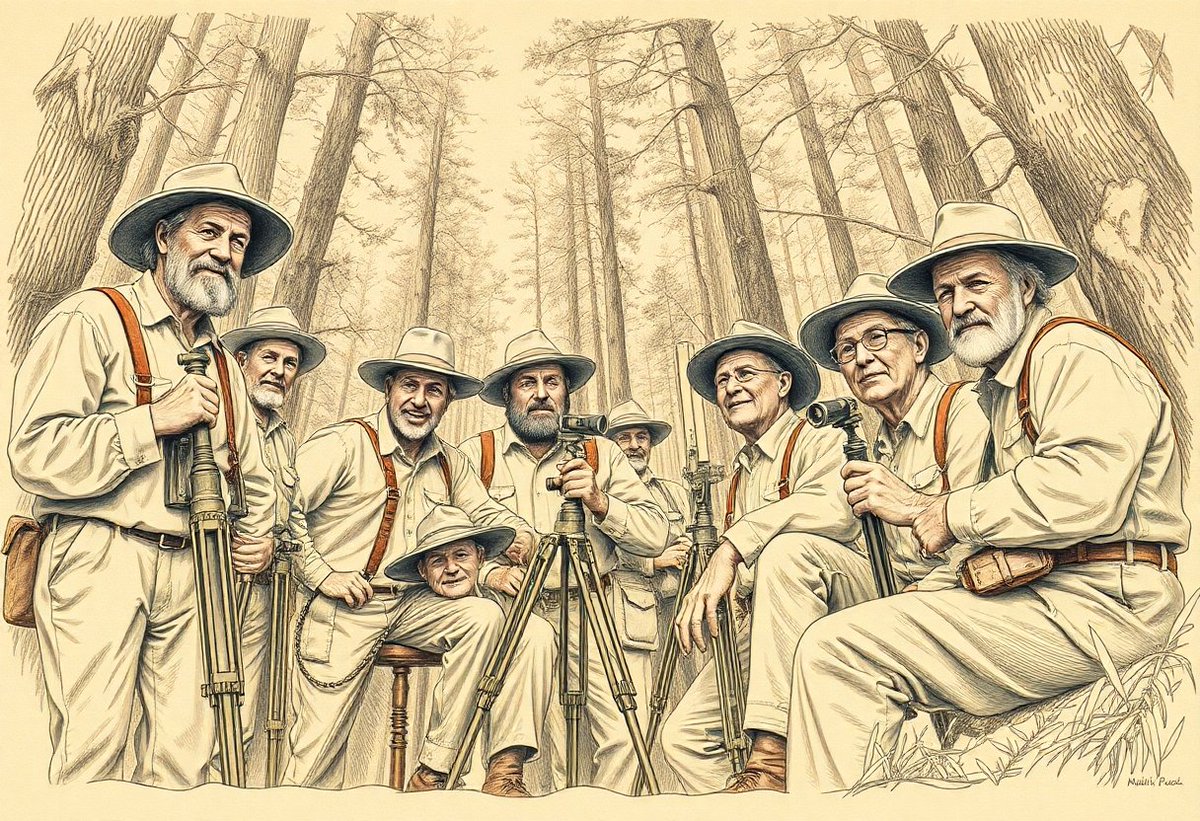
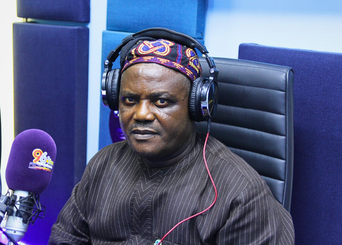
As we navigate through terrain to achieve spatial precision, may God watch us practice the craft. #surveying Asante.

100 Acres. One Flight. What used to take days can now be done in a single flight. LiDAR and drone technology are transforming how oil & gas teams plan and survey large sites. Special thanks to Buffco Production Inc #djienterprise #lidar #surveying

How to measure height of a building with a theodolite? #civilengineering #surveying #surveying_engineering #theodolite #trignometry #levellingstaff #levelling
Welcome to Rate It Green's #GreenBuilding Directory & Network, Carlson Preferred Solutions! buff.ly/3lf1uFW #surveying #landsurveyingequiment #landsurveying #GPS #robotictotalstations #drones #surveysoftware #datacollectorsoftware #CAD #construction #Bradenton #Florida


Mandatory surveys could create sales logjam @inspectapp #homesurveys #propertynews #surveying thenegotiator.co.uk/news/regulatio…


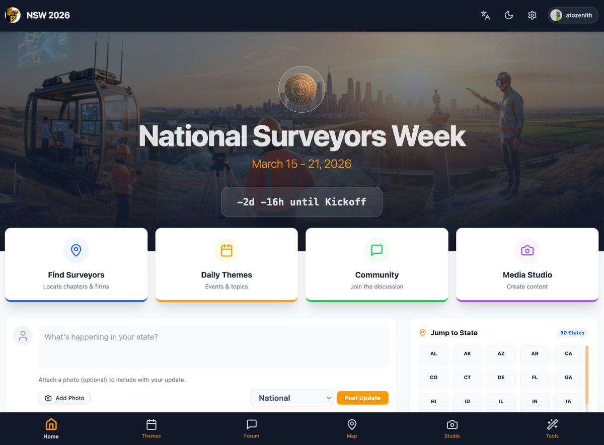
Check out the NSW Website for #NationalSurveyorsWeek nsw.on.websim.com/There are polls and a forum and quick ways to celebrate #surveying publicly and bring much needed attention to the profession.
DJI Terra's Auto GCP feature automatically identifies and marks GCP targets in your images, no manual tagging needed. Faster post-processing, more accurate models, less time spent on the details. Watch the tutorial 👉 brnw.ch/21x1Gg0 #djienterprise #djiterra #surveying


The Association of Mine Surveyors of Zimbabwe (AMSZ) says modern digital tools are central to improving mining operations and safety, following insights shared at the ongoing Datamine Zimbabwe conference and workshop. miningzimbabwe.com/amsz-pushes-ad… #minesurvey #survey #surveying #amsz

مع مرور ٤ سنوات على إنشاء الحساب نجدد الالتزام بتقديم كل ما يساهم في نشر علمي #المساحة #Surveying و #الجيوماتيكس #Geomatics وتبسيط محتواهما مع وافر الشكر والتقدير والاحترام لجميع المتابعين #MyXAnniversary


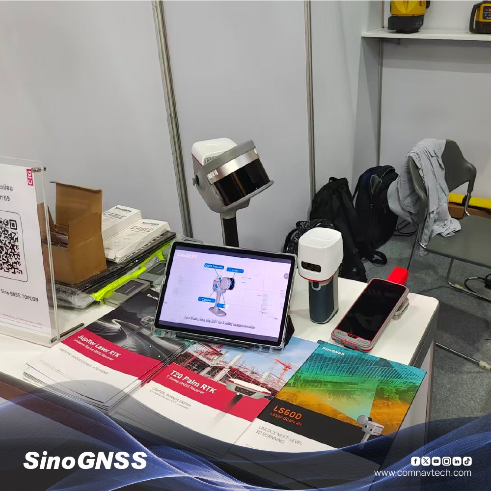
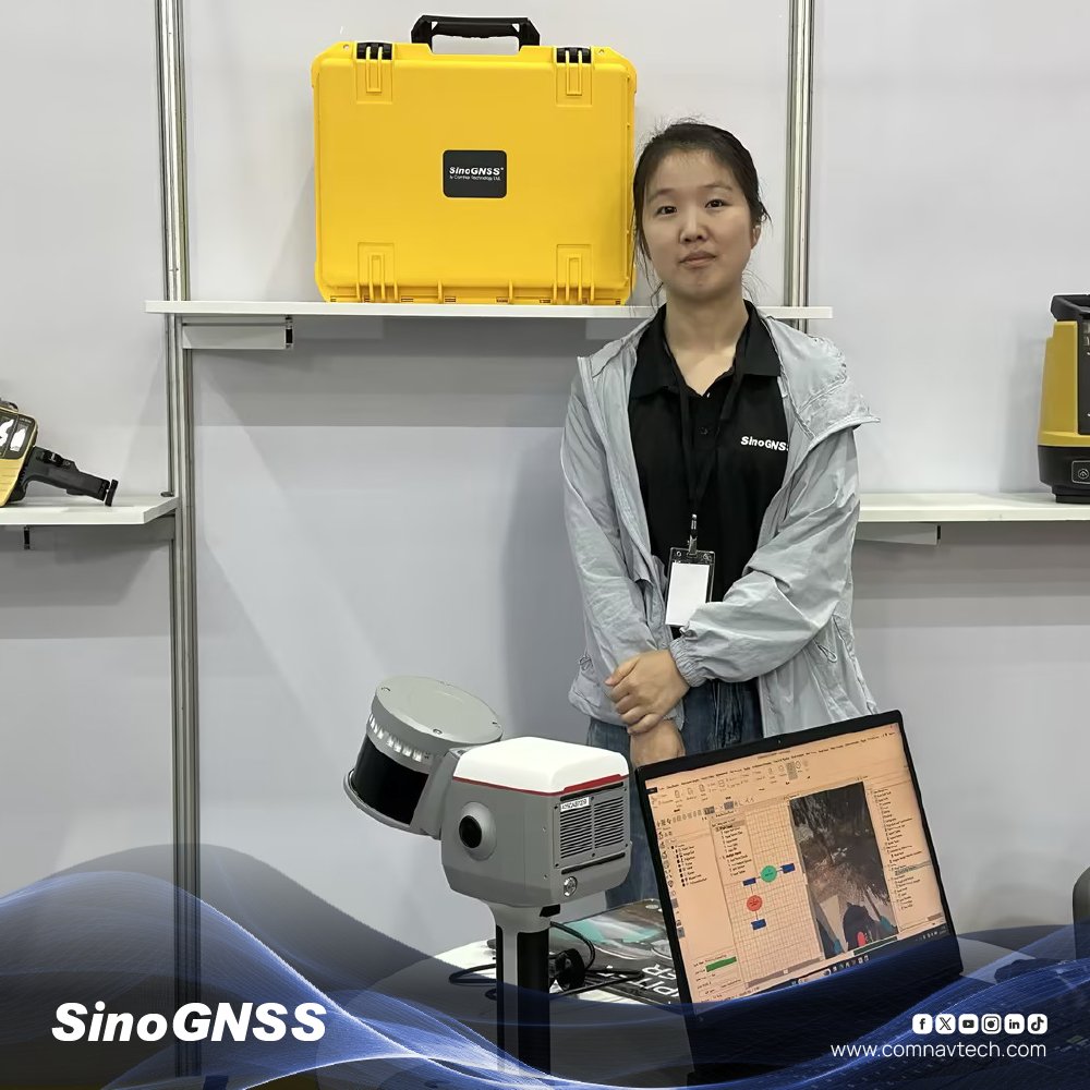
Live at Architect 2026 Bangkok. Find us at Booth S730 with CIG—featuring LS600, Mercury, Jupiter, T20 & P6H. #SinoGNSS #LaserRTK #Surveying #GNSS #LS600 #PoleFree


Happy Workers' day to us surveyors practicing ethically and with integrity #construction #surveying #beam #stakeout #mayday


Every site has 4 realities: • What it looks like • What’s built on it • What’s beneath it • How the ground behaves Miss one → gaps, assumptions, delays. Successful projects start with complete site intelligence. No surprises. eu1.hubs.ly/H0tRW3t0 #surveying

RICS unveils new member app as AI reshapes surveying standards @RICSEngland #surveying #propertynews #AI thenegotiator.co.uk/news/proptech/…


I'm going to GEO Business on 3-4 June 2026 at Excel London! Register for your free ticket and join me there. {link} #GEOBusiness #geospatial #surveying invt.io/1lxbr6rapjj


🗺️ From the classroom to the field! On THE BENCHMARK, Victor Oteri speaks with experienced surveyors about their journey into the profession and the role surveying plays in national development. #TheBenchmark #VictorOteri #Surveying #LandSurveyors #BuiltEnvironment


This week’s Surveyor Says! episode comes to you from Washington, DC during the 25th Annual NSPS Student Competition. Tim Burch spoke with students, advisors & sponsors about how this event strengthens the profession. Check it out: surveyorsays.podbean.com #NSPS #Surveying

Wingtra steps into 2026 with SURVEY61: 3 cm (0.1 ft) survey-grade accuracy using WingtraRAY, no GCPs needed. A potential game-changer for speed, safety, and cost in surveying. More in-depth: link below. #Surveying #Mapping #AerialPhotography #Drones #Wingtra #GCPsNotRequired

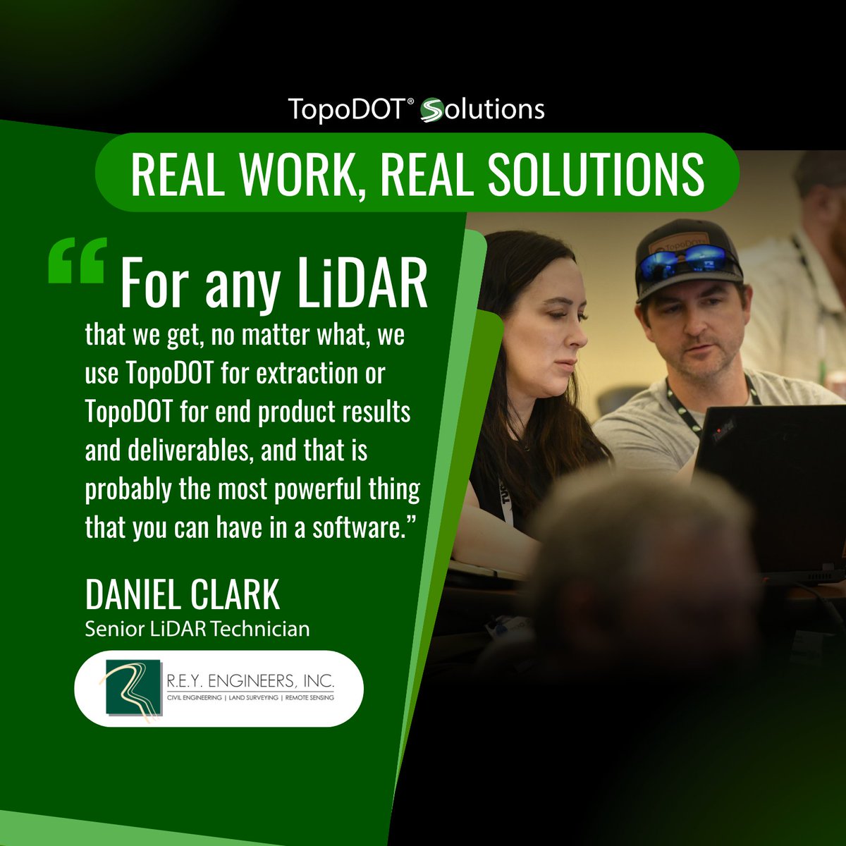
The best software ideas come from the field. Feedback from users like Daniel Clark of R.E.Y. Engineering has helped shape TopoDOT for LiDAR extraction and deliverables. Thank you to our user community for continuing to shape what comes next. #LiDAR #Surveying #TopoDOT
Happy Workers' day to us surveyors practicing ethically and with integrity #construction #surveying #beam #stakeout #mayday

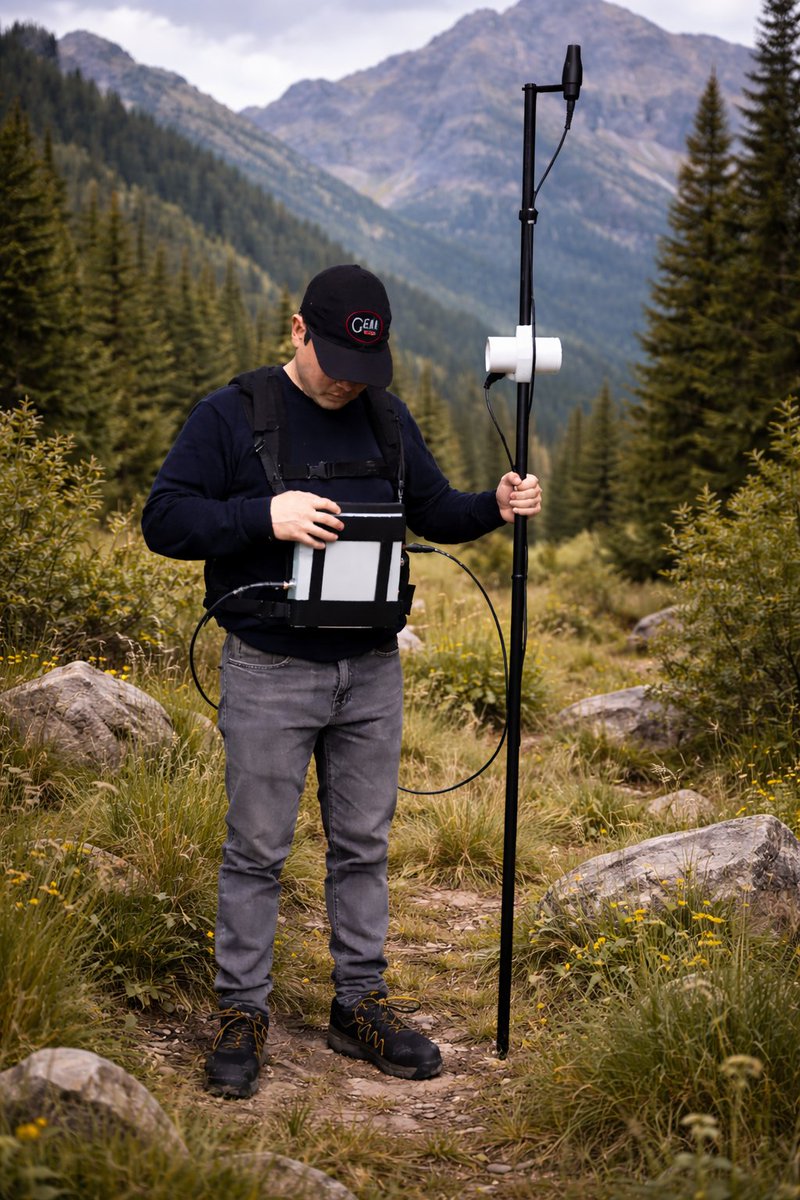
⏱ Spend less time in the field and gain more insight from your data. Looking for the right solution for your next project? We can help you. Submit an RFQ and our team would love to connect: gemsys.ca/quotations/gsm… #Geophysics #Magnetometer #Surveying #FieldWork #RFQ

Happy Labor Day. Thanks to the surveyors, construction crews, farmers, and drone pilots we work with every day. And to our own team behind the scenes keeping things running. None of it works without you. 🛰️ #LaborDay #GNSS #Surveying

🌍 Looking to build a career in surveying? Join Mike James on THE BENCHMARK with industry experts as they explore opportunities in surveying and geoinformatics for young people. Stay informed. Stay inspired! #TheBenchmark #Surveying #Geoinformatics #CareerOpportunities


New month, same dedication. 🏗️ Today we celebrate the hard work that builds our world and the precision that maps our future. Happy Workers' Day and a prosperous May to all the professionals out there making it happen! #WorkersDay #MayDay #Surveying #Construction


DGPS Hands-On Training is LIVE at Sur4Tech Land Survey Institute, Salem! Learn real-world GPS Surveying skills with expert trainer Balamurugan Manickam.🎯Field-based. Certified. Career-ready. 📍 Salem, Tamil Nadu | 📞 09159541818 Enroll now 👇 #DGPS #Surveying #Salem #Sur4tech

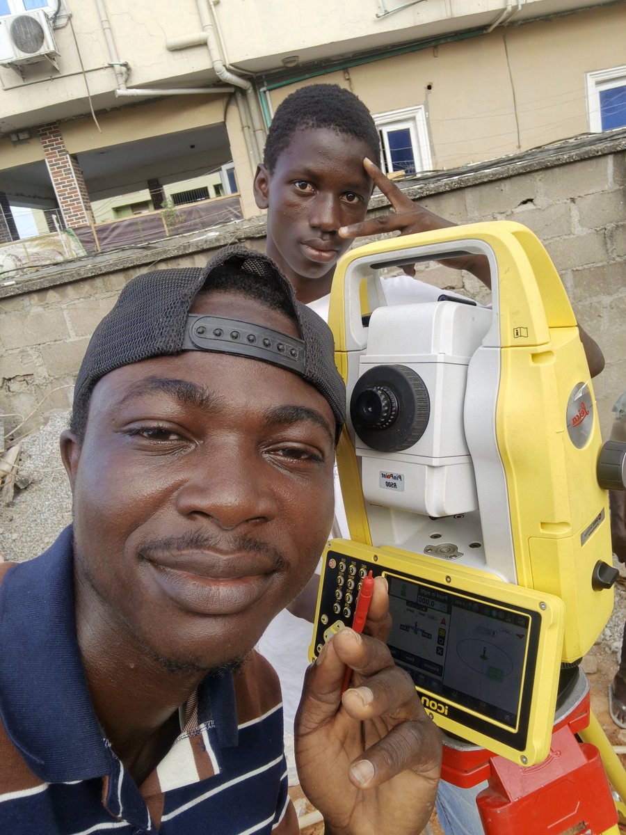
X (Twitter) Caption This is how we capture the world in coordinates. Precision surveying turns terrain into data and vision into reality. #Surveying #Geospatial #GIS #Mapping #Rwanda #Engineering #CivilEngineering

Join us for another DWBIUG monthly webinar on What's New in Autodesk ReCAP Pro 2027 with a special guest Ramesh from @autodesk #pointcloud #surveying #Autodesk #ReCAPPro #engineering #lidar #scanning #AEC #ASCE #ACEC Webinar Registration - Zoom us02web.zoom.us/webinar/regist…


"How to define land boundaries? How to calculate slope? How to accurately measure horizontal and vertical angles with a #theodolite, covering instrument leveling, left-face and right-face measurement methods, and vertical angle calculation. #surveying
Live at Architect 2026 Bangkok. Find us at Booth S730 with CIG—featuring LS600, Mercury, Jupiter, T20 & P6H. #SinoGNSS #LaserRTK #Surveying #GNSS #LS600 #PoleFree
Accuracy starts with a strong Survey Control Network 📍 No control = no consistency. #Surveying #Geospatial #ControlPoints #GNSS #Engineering @TrimbleCorp @LeicaGeo @TopconCorp

Significant numbers rpls.com/forums/strictl… #Surveying #LandSurveyor #ConstructionProjects #CivilEngineering #SiteSurvey
rpls.com
Significant numbers
We got a project working for a State entity. About 10 years ago they had a site survey performed by a local surveyor. That surveyor has moved to anoth...

We tracked it across 50 survey companies: 7+ hours/week per person on moving LiDAR files between tools. A 5-person team at £75/hour: £525/week.£27,300/year. On file admin. #LiDAR #surveying #productivity


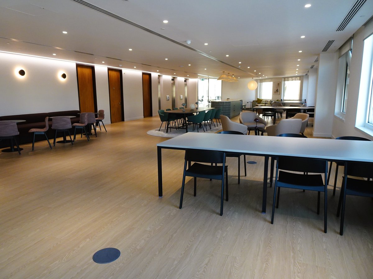
Surveying at No. 1 London Bridge! Inspecting 10,500+ sq ft of prime, river-facing office space for our latest pre-lease instruction. From DDA audits to high-spec M&E reviews, we provide the clarity needed for major commercial acquisitions. #London #Surveying #CommercialProperty


Hands-on training with @sencicoperu in Cusco. With @Cotecmi , we focused on Jupiter Laser RTK & Survey Master, plus LS600 and Mercury Laser RTK for real-world surveying practice. 🔗comnavtech.com/product/receiv… #SinoGNSS #LaserRTK #Surveying #GNSS


Every site has 4 realities: • What it looks like • What’s built on it • What’s beneath it • How the ground behaves Miss one → gaps, assumptions, delays. Successful projects start with complete site intelligence. No surprises. eu1.hubs.ly/H0tRW3t0 #surveying
Carlson Surveyor/Surveyor + battery re-cell rpls.com/forums/strictl… #CarlsonSurveyor #Surveying #BatteryReplacement #SurveyingEquipment #ConstructionTech
rpls.com
Carlson Surveyor/Surveyor + battery re-cell
The internet seems to have no information regarding replacement battery packs for the Carlson Surveyor + (part number: 6100.217.000) I reached out t...
📐 What is Bearing in Survey? Bearing = Direction of a line from North 🧭 It’s crucial for accurate land measurement, mapping & boundary fixing. ⚡ Small angle error = Big land mistake! #Surveying #LandSurvey #CivilEngineering #TotalStation #DGPS #SurveyTips #IndiaSurveyors


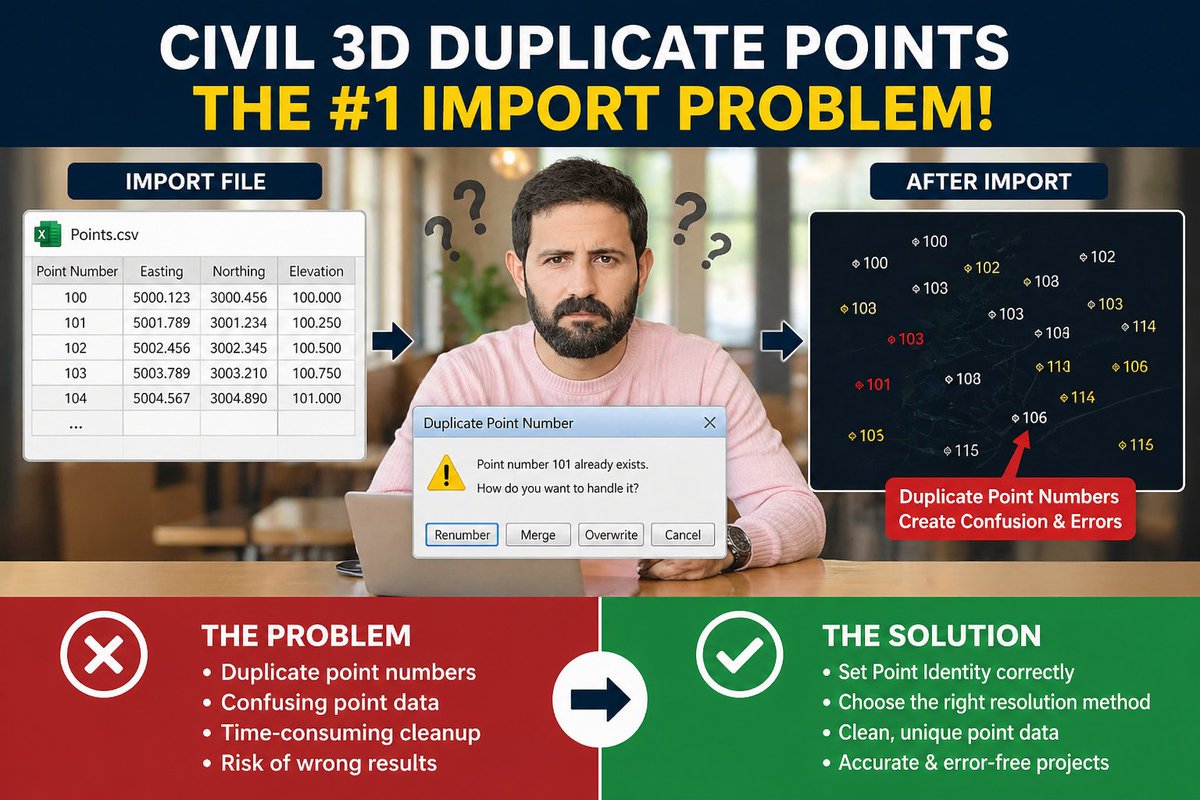
🚨 See first comment for full article 👇 Ever faced duplicate point number issues in Civil 3D? 😤 You’re not alone — this is one of the most common mistakes engineers and surveyors make! 👉 Follow for more practical Civil 3D tips & tricks! #Civil3D #Autocad #surveying


As we navigate through terrain to achieve spatial precision, may God watch us practice the craft. #surveying Asante.
DJI Terra's Auto GCP feature automatically identifies and marks GCP targets in your images, no manual tagging needed. Faster post-processing, more accurate models, less time spent on the details. Watch the tutorial 👉 brnw.ch/21x1Gg0 #djienterprise #djiterra #surveying

How do surveyors and crews get centimeter-level accuracy? The secret is the CORS Network. The backbone of modern high-precision GPS, CORS is key for smarter data in mapping, ag, and construction. Learn more about how it works here: 👇 globalgpssystems.com/gnss/cors-refe… #GPS #Surveying


Methods of Locating Soundings in Hydrographic Surveying ⏱️ 1.2 hours ⭐ 4.50 👥 438 🔄 Jun 2021 💰 FREE comidoc.com/udemy/methods-… #Hydrography #Soundings #Surveying #udemy

Welcome to Rate It Green's #GreenBuilding Directory & Network, Carlson Preferred Solutions! buff.ly/3lf1uFW #surveying #landsurveyingequiment #landsurveying #GPS #robotictotalstations #drones #surveysoftware #datacollectorsoftware #CAD #construction #Bradenton #Florida
Check out the NSW Website for #NationalSurveyorsWeek nsw.on.websim.com/There are polls and a forum and quick ways to celebrate #surveying publicly and bring much needed attention to the profession.
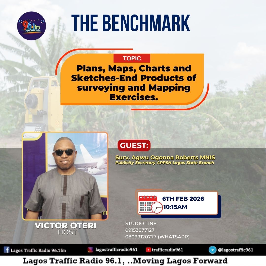
📐 Understanding the science behind our land and infrastructure. On THE BENCHMARK with Victor Oteri, Surv. Agwu Ogonna Roberts, MNIS (APPSN Lagos) explains plans, maps, charts, and sketches as key outputs of surveying and mapping exercises. #TheBenchmark #Surveying #Mapping

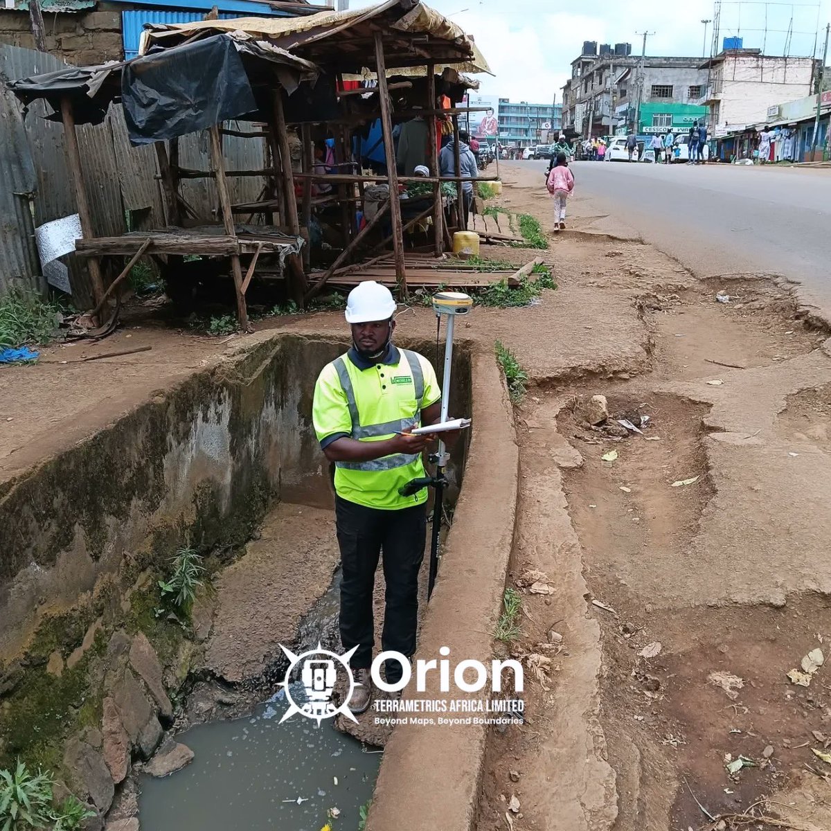
Lately Our team @Nicholas & @silvesterw55524 mapped drainage networks, opened manholes, and captured inverts, culverts, and junctions to understand persistent flooding. This data will directly inform stormwater redesign and long-term flood mitigation #Surveying #Stormwater


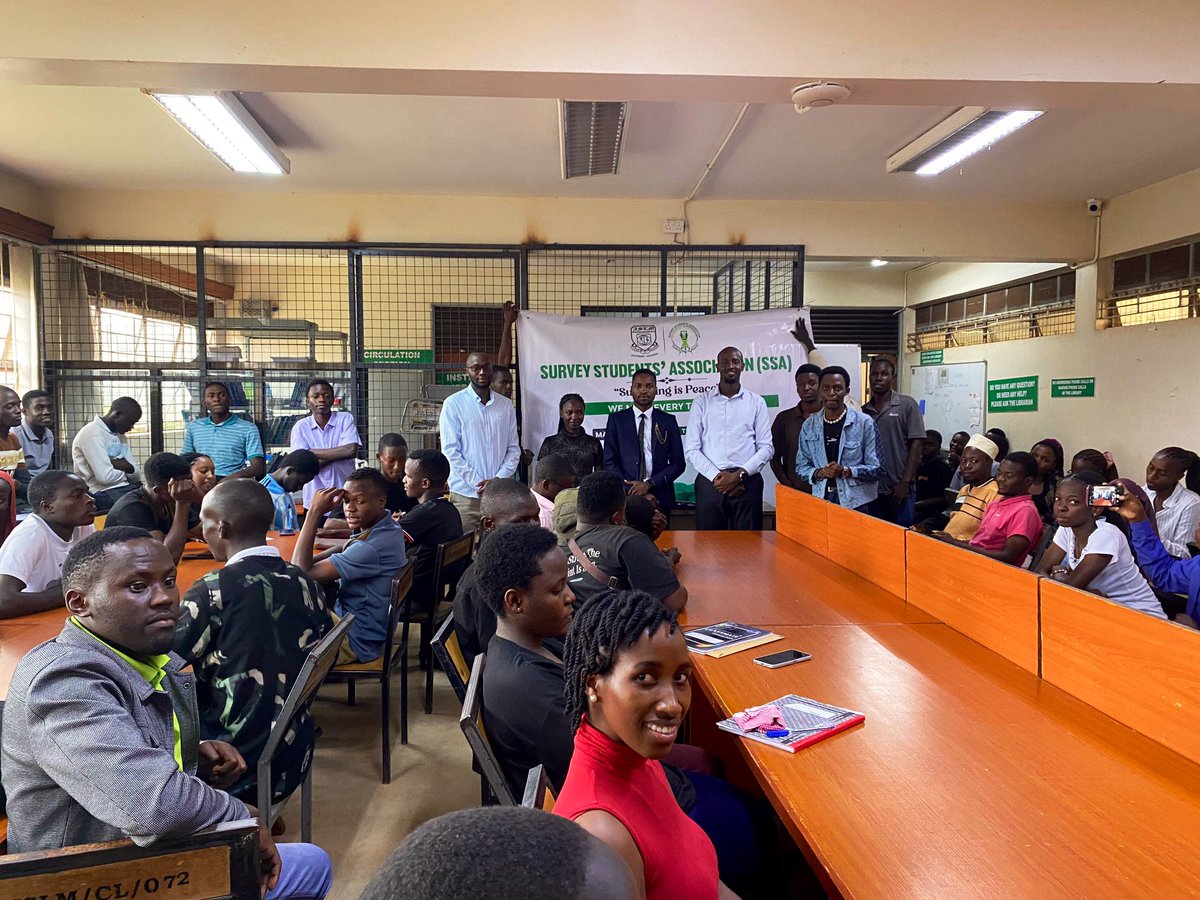
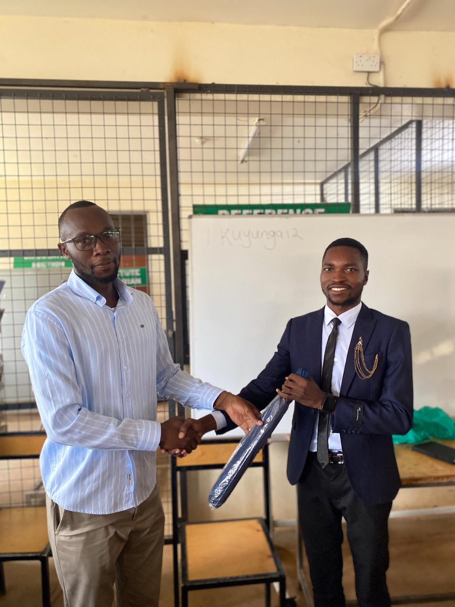
Honored to speak at the @ISLM_Entebbe SSA Meeting on the importance of student membership in the @SurveyorsofUG . Professional identity starts before graduation. Exposure, mentorship, ethics, and networking shape the surveyor you become. #Surveying #ISU #FutureSurveyors


🗺️ From the classroom to the field! On THE BENCHMARK, Victor Oteri speaks with experienced surveyors about their journey into the profession and the role surveying plays in national development. #TheBenchmark #VictorOteri #Surveying #LandSurveyors #BuiltEnvironment
Earn up to 14.5 CE credits in just a week at TUC! Continue your professional development with technical training & course credits accepted by the FL Board of Professional Surveyors and Mappers and other states. #TopoDOT #Surveying #ContinuingEducation #ProfessionalDevelopment


It's important to knw dat, unlike lawyers, Land surveyors put the public interest 1st. Dat means we're not biased by our client, this means dat the property line will be drawn in the most equitable position, regardless of which neighbor is paying the bill #surveying #landsurveyor
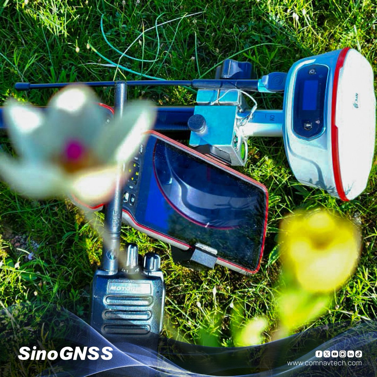
From mapping and stakeout to complex surveying tasks, Jupiter Laser RTK combines GNSS, Laser technology, and dual cameras in a lightweight, portable design, making it your perfect companion for outdoor operations. #SinoGNSS #ComNavTech #Surveying #GNSS #Laserrtk #GPS

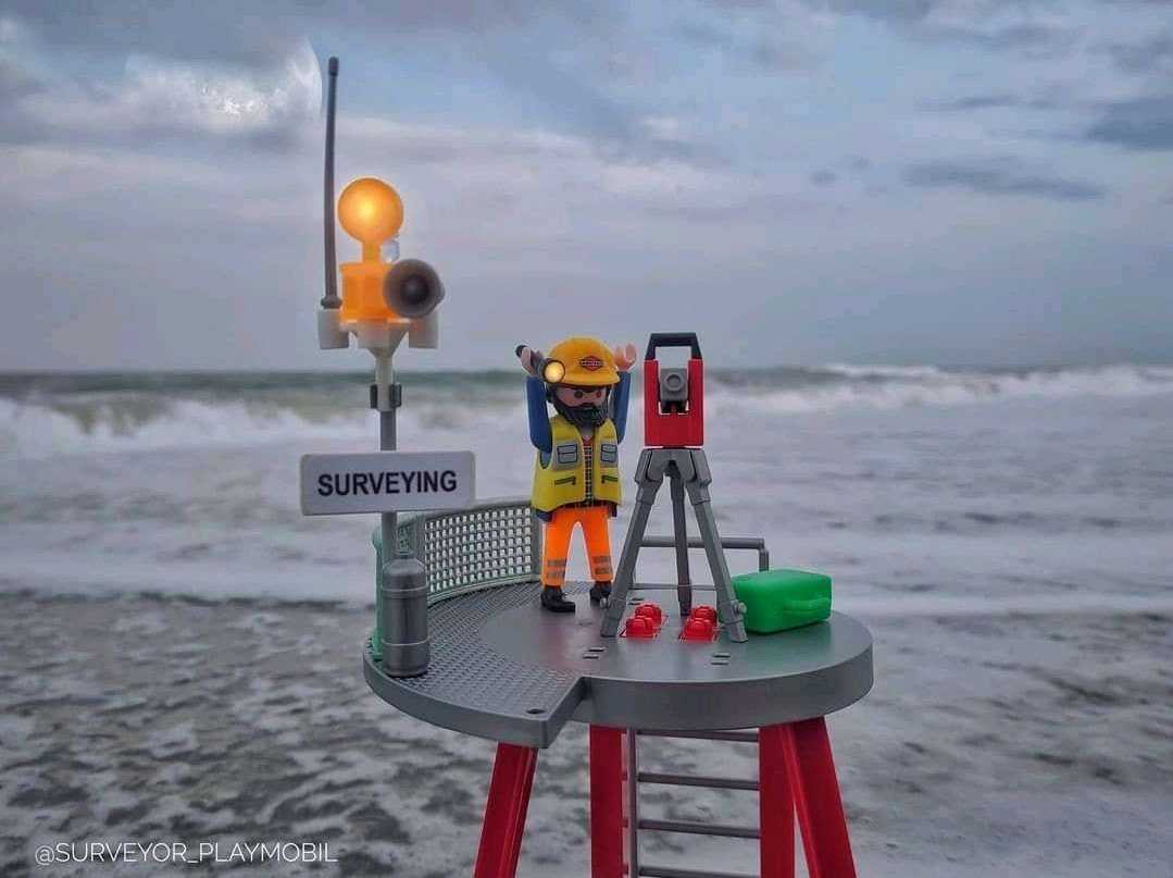
Precision begins at the right level 🔭📏. Every great project starts with focused engineering. #Surveying #Engineering #FieldWork"


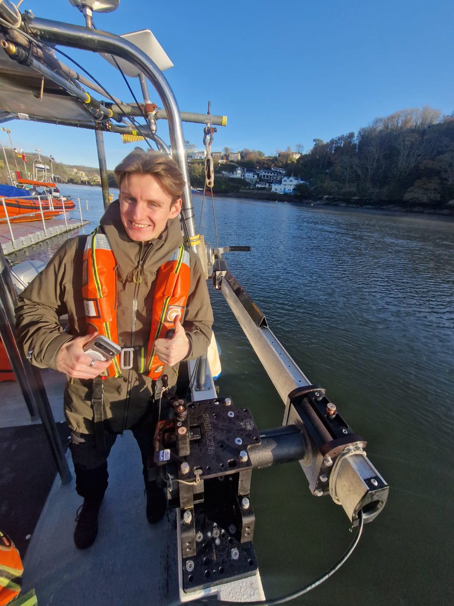
We went to visit our contractors @A_2_Sea last week, to see how they are getting on with #surveying some of our dynamic coastline - have a read to find out more! southwest.coastalmonitoring.org/blog/field-vis…


Need more accurate site data? We've got you. Our easy-to-use AeroPoints are 10% off until December 2. Get your AeroPoints today: hubs.li/Q03W50B10 #GCPs #groundcontrol #surveying #GIS #constructiontech

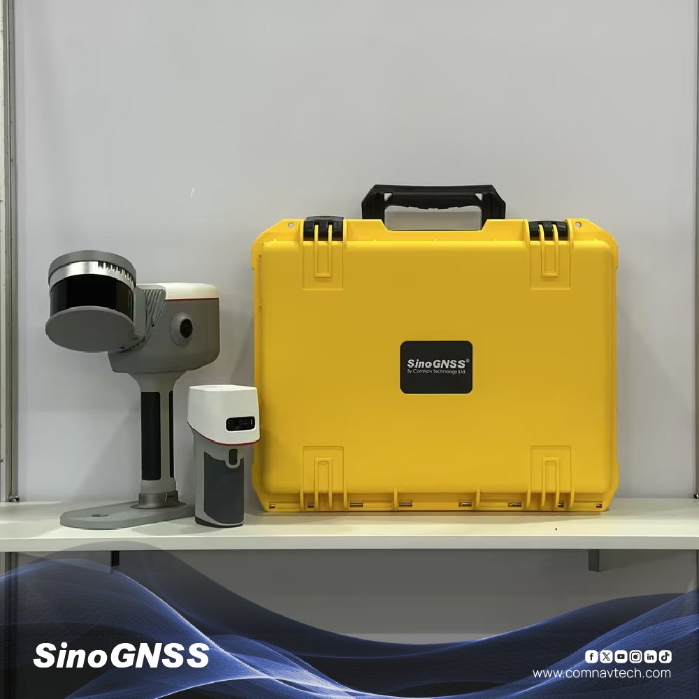
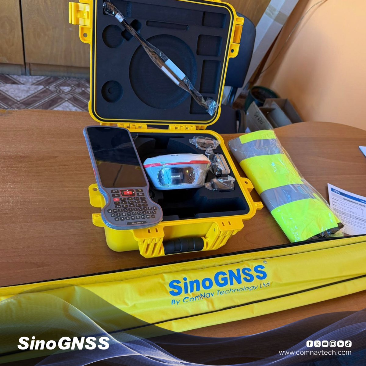
Every Jupiter Laser RTK arrives with a complete set of accessories, carefully packed and ready for action. From the rugged instrument case to every essential component, everything you need is right at your fingertips. #SinoGNSS #ComNavTech #Surveying #GNSS #Laserrtk #GPS
Something went wrong.
Something went wrong.
United States Trends
- 1. #SmackDown N/A
- 2. Magic N/A
- 3. RJ Barrett N/A
- 4. Pistons N/A
- 5. #LetsGoBuffalo N/A
- 6. McAvoy N/A
- 7. #GoBolts N/A
- 8. #OPLive N/A
- 9. Game 7 N/A
- 10. Donovan Mitchell N/A
- 11. #bucciovertimechallenge N/A
- 12. Mosley N/A
- 13. Raptors N/A
- 14. Cade Cunningham N/A
- 15. Scottie Barnes N/A
- 16. Benson N/A
- 17. Grant Holmes N/A
- 18. eBay N/A
- 19. Ricky Saints N/A
- 20. GameStop N/A