
helix.it
@helixgis
Helix S.r.l. è specializzata in prodotti e soluzioni per la gestione ed il controllo del territorio. #Policecontrol #QMap #Overlux
You might like


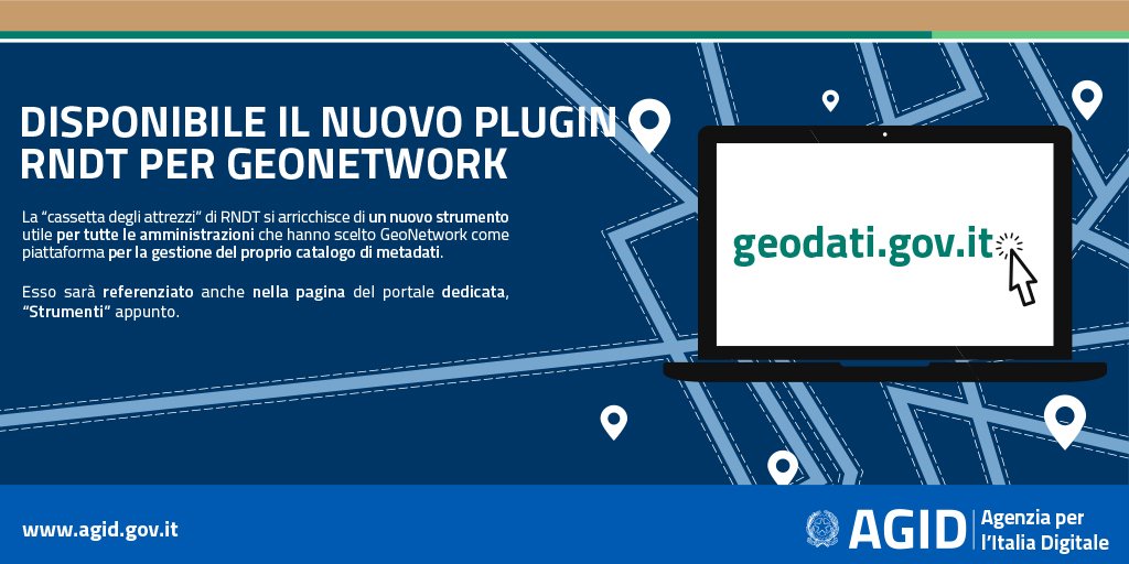
📢 Disponibile il #plugin #RNDT_IT per la versione 3.x di #GeoNetwork. 🌐 Il plugin consente la gestione e la pubblicazione dei #metadati di dati e servizi territoriali secondo il profilo italiano | #OpenSource #geodati 👉 Leggi la news: bit.ly/2HgVKJG

Weʼre all in on crowdsensing for smart cities. 👌

Growth Summit with @jesolem from @mapillary, about opening up data collection from smartphones, vehicles, and connected sensors: crowdsensing at a scale, to generate collaborative datasets that can drive smart city development. #WebSummit @CAPSSIEU @SocialGoodAccel

Anche per l’#Italia e, quindi, per la Regione #Marche è possibile mappare lo stato del manto stradale
SmartRoadSense: a crowd sensing application for the continued monitoring of road quality. youtu.be/vW9NSJ8MlxY

youtube.com
YouTube
SmartRoadSense (ENG)

"OSM dans tan smartphone", a selection of Android apps for different types of OpenStreetMap contribution and use. This OSM "featured image" was originally presented at a mapathon event in Kinshasa.

Presentazione del nuovo portare regionale di Micro zonazione sismica #RegioneMarche #ProtezioneCivile
Gli oggetti territoriali per l'illuminazione pubblica, definiti con le specifiche pubblicate, sono ora pubblicati e referenziati anche in un #registro nel Sistema di Registri #INSPIREItalia registry.geodati.gov.it/pell-ip | #PELL #Re3gistry #publicLighting #eGov #geospatial #INSPIRE_EU
Pubblicata la v. 1.0 delle specifiche di contenuto per #PELL e illuminazione pubblica, frutto dell'impegno del GdL @ENEAOfficial e @AgidGov. Recepite anche proposte di #stakeholders pervenute in consultazione pubblica | #geospatial #eGov #publicLighting bit.ly/2LH0nMq

Affordable, worldwide, reverse geocoding API for device tracking - convert coordinates to addresses at high volumes
The #RNDT_IT API added in the list for 2018 #INSPIREhackathon. Those APIs allow to query the Italian National Catalog for #Spatial Data and are described here geodati.gov.it/geoportale/eng… and, in #OpenAPI standard, here: developers.italia.it/it/api/reperto…. | @INSPIRE_EU @EULocation @AgidGov

Interested in switching to #OpenStreetMap ? We've got you covered! blog.openstreetmap.org/2018/06/20/swi… #switch2osm

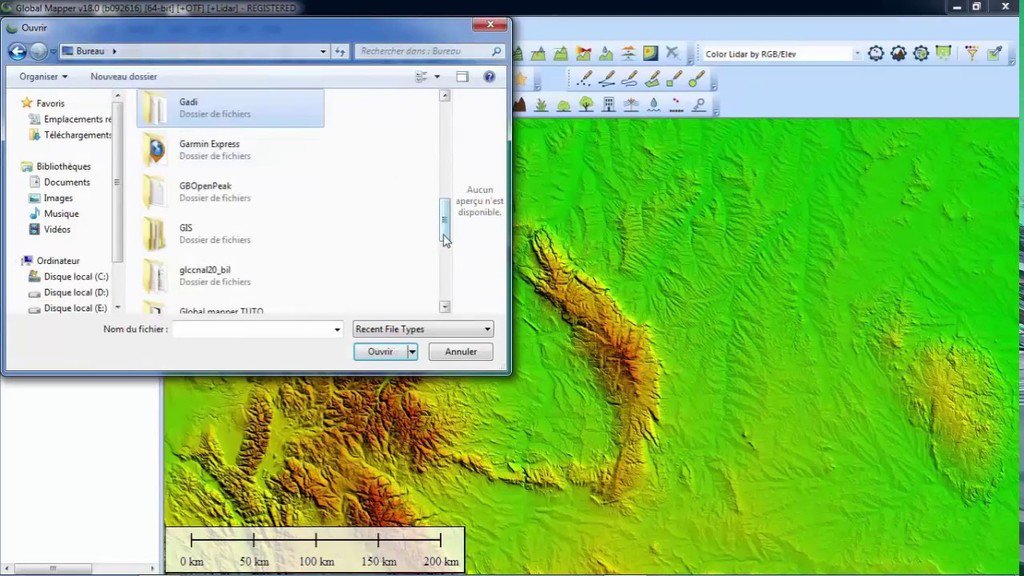
Download free DEM Digital Elevation Model 10 meters by Global Mapper ift.tt/2suXFBF #gis

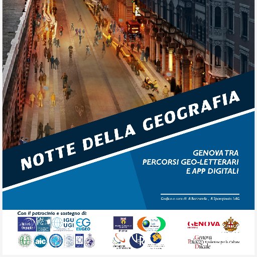
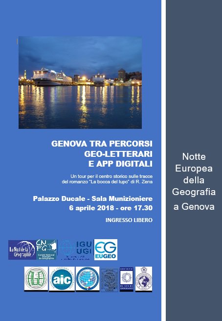
Notte Europea della Geografia a Genova

The latest #SuperSurv 10 #tutorial is released! Check out how to use #LAYERSET to define the data frame and... fb.me/8iI9mg9MM
Wanna find a #GIS brand with great support and reasonable price but still don't have a clue? Join #Supergeo's network! goo.gl/sVQa2x


United States Trends
- 1. Thanksgiving 370K posts
- 2. Fani Willis 9,649 posts
- 3. Golesh 1,711 posts
- 4. Trumplican 2,525 posts
- 5. Hong Kong 15.4K posts
- 6. Stranger Things 156K posts
- 7. Elijah Moore N/A
- 8. #TejRan 4,102 posts
- 9. Pete Skandalakis N/A
- 10. Khabib 5,640 posts
- 11. Riker N/A
- 12. Ruth 13.8K posts
- 13. Nuns 10.2K posts
- 14. Tom Hardy N/A
- 15. #wednesdaymotivation 6,511 posts
- 16. Karoline Leavitt 28K posts
- 17. Ribs 11.5K posts
- 18. #Wednesdayvibe 3,471 posts
- 19. NextNRG Inc N/A
- 20. #WednesdayWisdom 1,167 posts
You might like


Something went wrong.
Something went wrong.