#digitalmapping 搜尋結果

🗺️ Not all maps are made for networks.⁣ Digital mapping ensures more accurate RF simulations.⁣ ⁣ ✅ Real-world 2D/3D layers⁣ ✅ Obstructions and terrain data⁣ ✅ Reliable results⁣ ⁣ 🎯 Request a free demo: [email protected]#DigitalMapping #APTICA #RFPlanning

APTICA_ES's tweet image. 🗺️ Not all maps are made for networks.⁣
Digital mapping ensures more accurate RF simulations.⁣
⁣
✅ Real-world 2D/3D layers⁣
✅ Obstructions and terrain data⁣
✅ Reliable results⁣
⁣
🎯 Request a free demo: comercial@aptica.es⁣

#DigitalMapping #APTICA #RFPlanning

State to digitally map Waqf properties City leads revenue and transparency push #WaqfProperties #DigitalMapping #Transparency #RevenueBoost Read: epaper.lokmat.com/articlepage.ph… Story by: Harsh Yadav

LokmatTimes_ngp's tweet image. State to digitally map Waqf properties
City leads revenue and transparency push
#WaqfProperties #DigitalMapping #Transparency #RevenueBoost 

Read: epaper.lokmat.com/articlepage.ph…

Story by: Harsh Yadav

You are invited as we join #BroadbandWithoutBoundaries for “Trusting Your Broadband Mapping Data," a webinar focused on best practices in FWA network mapping. REGISTER TODAY:ow.ly/PwuT50R8zoz @WISPAnews #DigitalMapping #LastMile #Broadband #Wireless #Connectivity #FWA

WinncomTech's tweet image. You are invited as we join #BroadbandWithoutBoundaries for “Trusting Your Broadband Mapping Data," a webinar focused on best practices in FWA network mapping.  REGISTER TODAY:ow.ly/PwuT50R8zoz
@WISPAnews

#DigitalMapping #LastMile #Broadband #Wireless #Connectivity #FWA

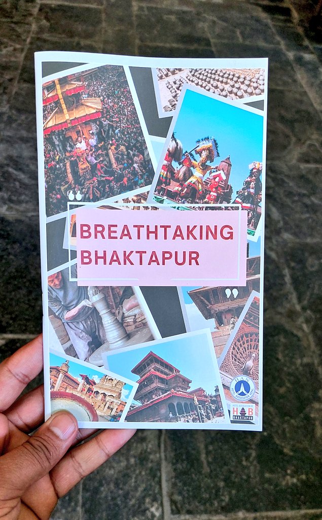
पाटन र भक्तपुर । अब कताको नक्सा कथा बनाउदा ठिक होला ? #Nepal #DigitalMapping #Tourism

DhakalSaurav's tweet image. पाटन र भक्तपुर । अब कताको नक्सा कथा बनाउदा ठिक होला ? #Nepal #DigitalMapping #Tourism

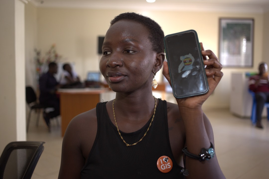
Explore Uganda like never before with OpenStreetMap! Whether you're planning a trip, learning about local geography, or contributing to community-driven mapping efforts, OSM Uganda has you covered. #OpenStreetMap #OSMUganda #DigitalMapping

osmuganda's tweet image. Explore Uganda like never before with OpenStreetMap! Whether you're planning a trip, learning about local geography, or contributing to community-driven mapping efforts, OSM Uganda has you covered. #OpenStreetMap #OSMUganda  #DigitalMapping

Hear Jason Jameson shares key customer stories for #HERE technologies in the Asia Pacific #locationintelligence #digitalmapping #markettrends Full Video: youtu.be/xKI41lAObkI


📢 Exciting research on historical map processing🗺️ Digital methods offer new possibilities for extracting geographic features, but uncertainties arise. This study explores hydrological features from old topographic maps and their impact on ecological indicators.🧪#DigitalMapping
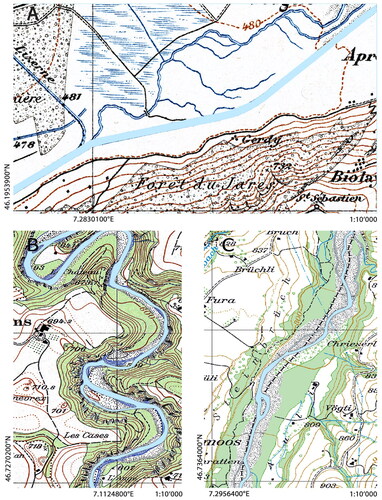
GsisOffice's tweet image. 📢 Exciting research on historical map processing🗺️ Digital methods offer new possibilities for extracting geographic features, but uncertainties arise. This study explores hydrological features from old topographic maps and their impact on ecological indicators.🧪#DigitalMapping

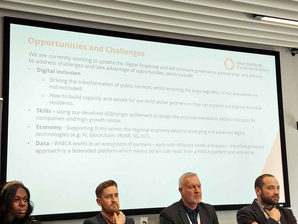
Fresh from a @SellyOakNNS community mtg where I talked abt need for tech companies to be more responsive to what people need, we're at a #BTW23 event on #DigitalMapping where the @Microsoft speaker has said much the same #WorldsColliding #DigitalInclusion

DigitalNNS's tweet image. Fresh from a @SellyOakNNS community mtg where I talked abt need for tech companies to be more responsive to what people need, we're at a #BTW23 event on #DigitalMapping where the @Microsoft speaker has said much the same #WorldsColliding #DigitalInclusion

उत्तराखंड के ट्रैकिंग रूट्स की पहली बार होगी डिजिटल मैपिंग, शासन को भेजा गया नियमावली का ड्राफ्ट #uttarakhandnews #DigitalMapping #trek rajyasameeksha.com/uttarakhand/33…


Does your organization empower youth in Uganda through workforce development or entrepreneurship? @StartHubAfrica invites you to join the Briter Digital Mapping Initiative. 👉Register here: starthubafrica.org/mapping #DigitalMapping

StartHubAfrica's tweet image. Does your organization empower youth in Uganda through workforce development or entrepreneurship?

@StartHubAfrica invites you to join the Briter Digital Mapping Initiative.

👉Register here: starthubafrica.org/mapping

#DigitalMapping

Is your organization supporting youth in Uganda through workforce development or entrepreneurship programs? @StartHubAfrica invites you to join the Briter Digital Mapping Initiative. 👉Register here: starthubafrica.org/mapping #DigitalMapping

StartHubAfrica's tweet image. Is your organization supporting youth in Uganda through workforce development or entrepreneurship programs?

@StartHubAfrica invites you to join the Briter Digital Mapping Initiative.

👉Register here: starthubafrica.org/mapping

#DigitalMapping

🗺️Ready to shape the future of #DigitalMapping? Join us for a deep dive into the world of #OpenStreetMap with the new Rapid Editor 2.0. Key insights, live demos & more from @Meta and industry experts. No coding skills needed, just curiosity! my.demio.com/ref/km980KVapx…

geoawesome_dgtl's tweet image. 🗺️Ready to shape the future of #DigitalMapping? Join us for a deep dive into the world of #OpenStreetMap with the new Rapid Editor 2.0. Key insights, live demos & more from @Meta and industry experts. No coding skills needed, just curiosity!

my.demio.com/ref/km980KVapx…

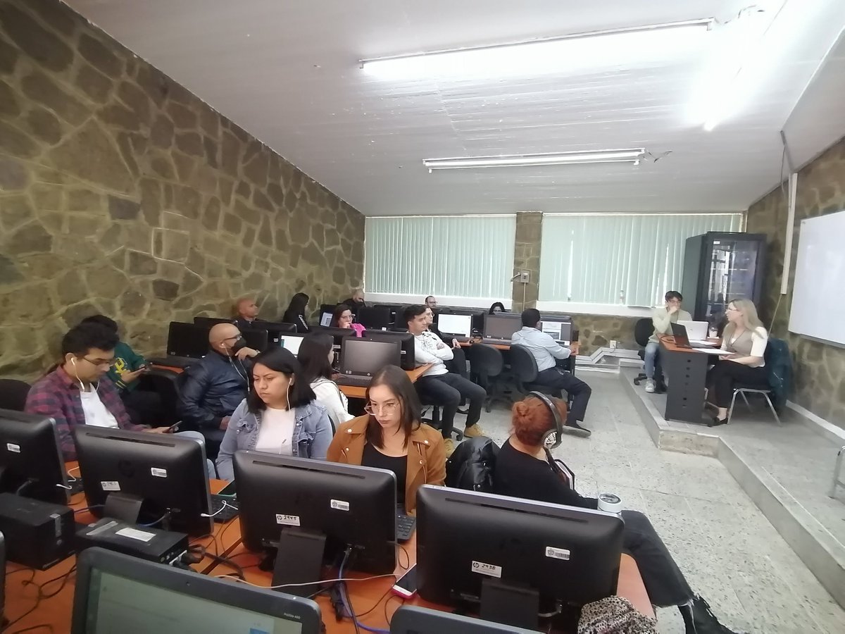
Yesterday, CDSsi participants gathered for the Intro to Mapping course with Dr. Alexander Gil and Dr. Andreina Soto, learning how to map and visualize Caribbean history! #cdsc #cdssi #digitalmapping

caribbean_dsc's tweet image. Yesterday, CDSsi participants gathered for the Intro to Mapping course with Dr. Alexander Gil and Dr. Andreina Soto, learning how to map and visualize Caribbean history!

#cdsc #cdssi #digitalmapping
caribbean_dsc's tweet image. Yesterday, CDSsi participants gathered for the Intro to Mapping course with Dr. Alexander Gil and Dr. Andreina Soto, learning how to map and visualize Caribbean history!

#cdsc #cdssi #digitalmapping
caribbean_dsc's tweet image. Yesterday, CDSsi participants gathered for the Intro to Mapping course with Dr. Alexander Gil and Dr. Andreina Soto, learning how to map and visualize Caribbean history!

#cdsc #cdssi #digitalmapping

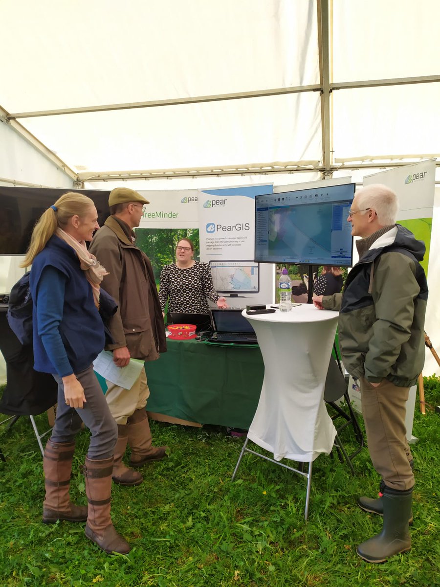
The Pear team are at the Confor Woodland Show today! Visit our stand to find out how our new mapping software, PearGIS, along with GPS, can help you manage your land! #ConforWS23 #digitalmapping

PearTechnology's tweet image. The Pear team are at the Confor Woodland Show today! Visit our stand to find out how our new mapping software, PearGIS, along with GPS, can help you manage your land! #ConforWS23 #digitalmapping

Have you registered for the INSIGHTS WEBINAR? Join us to discuss how digital mapping can transform healthcare access. 📅 Nov 27th, 2024 🕒 3:00 PM (WAT) 📍 Online 🔗 Register: bit.ly/insightsbyeha27 #eHealthAfrica #InsightsWebinar #DigitalMapping


Digital Mapping and Road Safety. How does it work? shar.es/10EZQm #ArriveAlive #DigitalMapping

_ArriveAlive's tweet image. Digital Mapping and Road Safety.  How does it work? shar.es/10EZQm #ArriveAlive #DigitalMapping

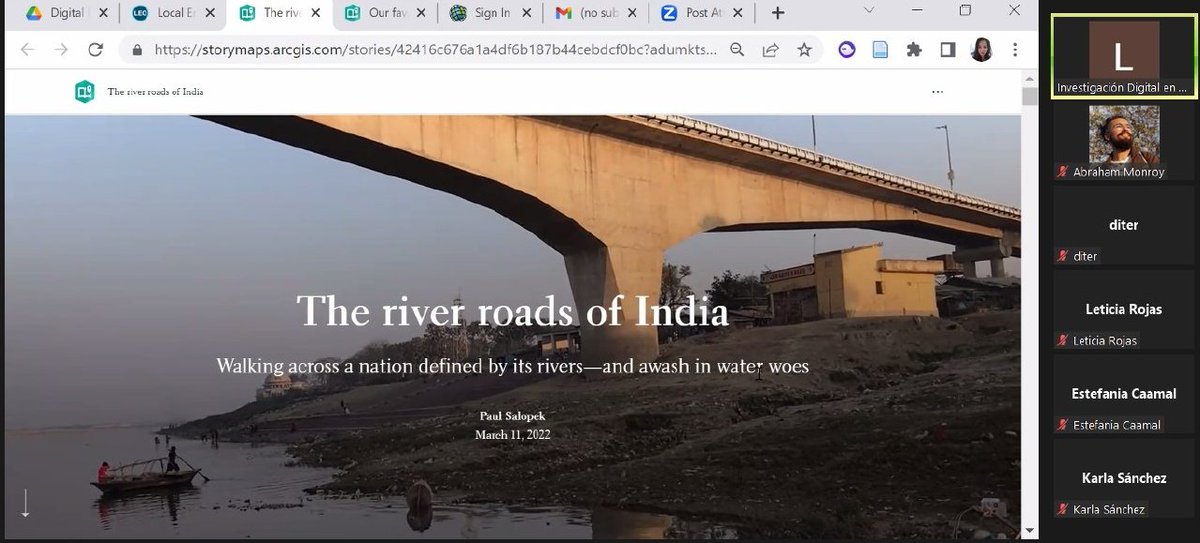
We use Digital Community Mapping and Storytelling tools to enhance GIS data for public use and make an interesting story presentation out of that data for further planning , dreamcities.org #DigitalMapping #Nepal #ClimateActionNow

Storycycle's tweet image. We use Digital Community Mapping and Storytelling tools to enhance GIS data for public use and make an interesting story presentation out of that data for further planning , 
dreamcities.org #DigitalMapping #Nepal #ClimateActionNow
Storycycle's tweet image. We use Digital Community Mapping and Storytelling tools to enhance GIS data for public use and make an interesting story presentation out of that data for further planning , 
dreamcities.org #DigitalMapping #Nepal #ClimateActionNow
Storycycle's tweet image. We use Digital Community Mapping and Storytelling tools to enhance GIS data for public use and make an interesting story presentation out of that data for further planning , 
dreamcities.org #DigitalMapping #Nepal #ClimateActionNow
Storycycle's tweet image. We use Digital Community Mapping and Storytelling tools to enhance GIS data for public use and make an interesting story presentation out of that data for further planning , 
dreamcities.org #DigitalMapping #Nepal #ClimateActionNow

This open access study by @JIPerezK contributes to the discussion on smart and #PlatformUrbanism by illustrating the dynamic use of #DigitalMapping platforms buff.ly/LSCqY7n

USJ_online's tweet image. This open access study by @JIPerezK contributes to the discussion on smart and #PlatformUrbanism by illustrating the dynamic use of #DigitalMapping platforms

buff.ly/LSCqY7n

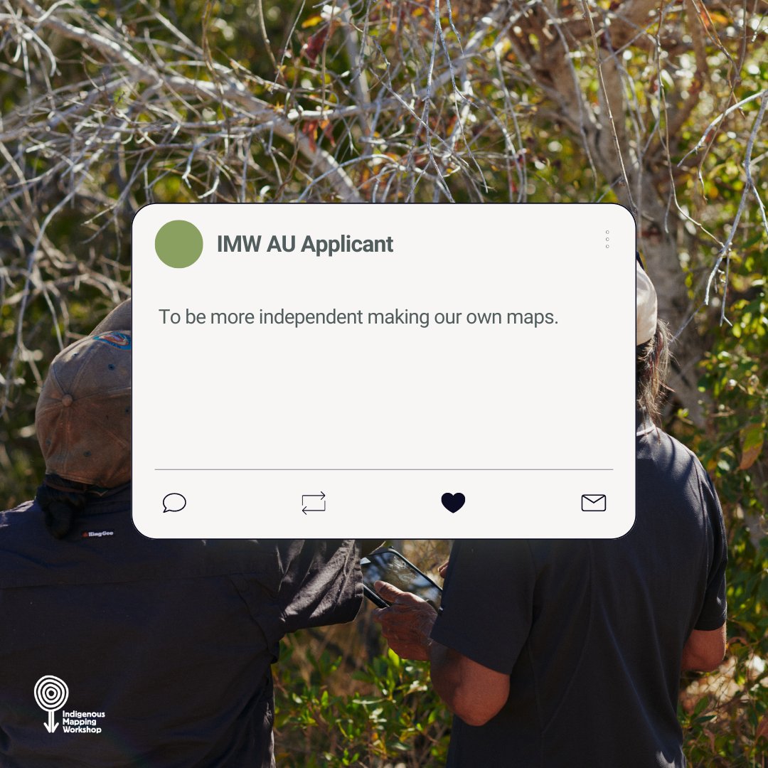
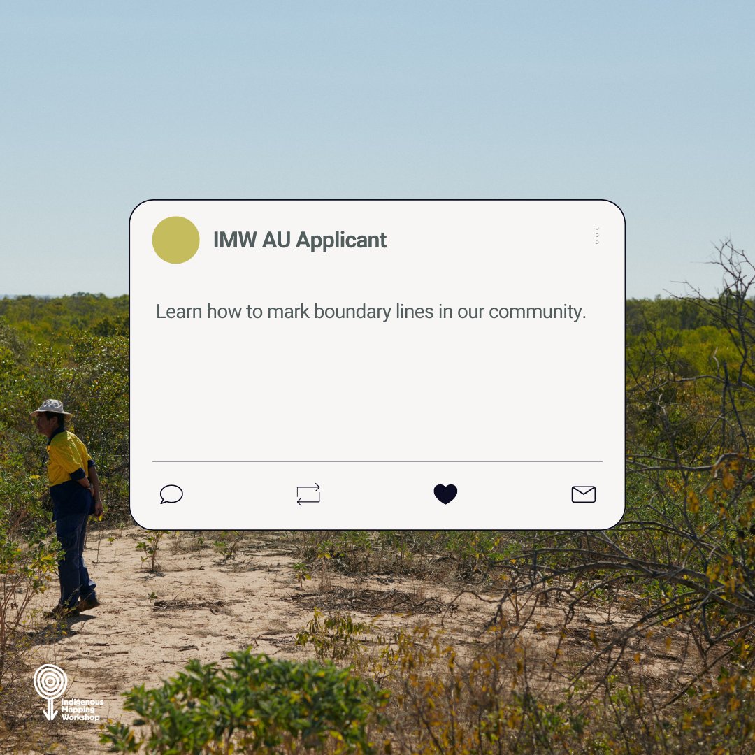
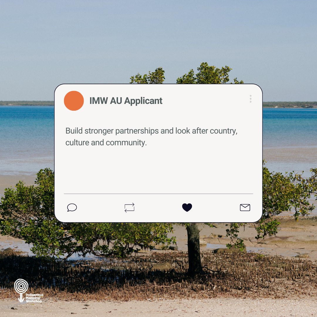
Looking after Country, culture and community, having sovereignty over data and learning how to utilise that data are just some of the drivers our #IMWauOD applicants have for learning #digitalmapping skills. What are yours? #CaringforCountry #DataSovereignty

winyama_au's tweet image. Looking after Country, culture and community, having sovereignty over data and learning how to utilise that data are just some of the drivers our #IMWauOD applicants have for learning #digitalmapping skills. 

What are yours?

#CaringforCountry #DataSovereignty
winyama_au's tweet image. Looking after Country, culture and community, having sovereignty over data and learning how to utilise that data are just some of the drivers our #IMWauOD applicants have for learning #digitalmapping skills. 

What are yours?

#CaringforCountry #DataSovereignty
winyama_au's tweet image. Looking after Country, culture and community, having sovereignty over data and learning how to utilise that data are just some of the drivers our #IMWauOD applicants have for learning #digitalmapping skills. 

What are yours?

#CaringforCountry #DataSovereignty
winyama_au's tweet image. Looking after Country, culture and community, having sovereignty over data and learning how to utilise that data are just some of the drivers our #IMWauOD applicants have for learning #digitalmapping skills. 

What are yours?

#CaringforCountry #DataSovereignty

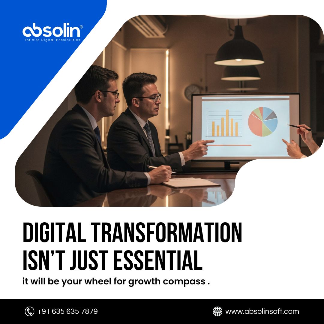
Where are you on the digital maturity map? Absolin benchmarks, builds & boosts your ecosystem so you’re always steps ahead of disruption. Ready to chart your journey? 👉 absolinsoft.com #DigitalMapping #TechStrategy #Absolin

absolinsoft's tweet image. Where are you on the digital maturity map?

Absolin benchmarks, builds & boosts your ecosystem so you’re always steps ahead of disruption.

Ready to chart your journey?

👉 absolinsoft.com

#DigitalMapping #TechStrategy #Absolin

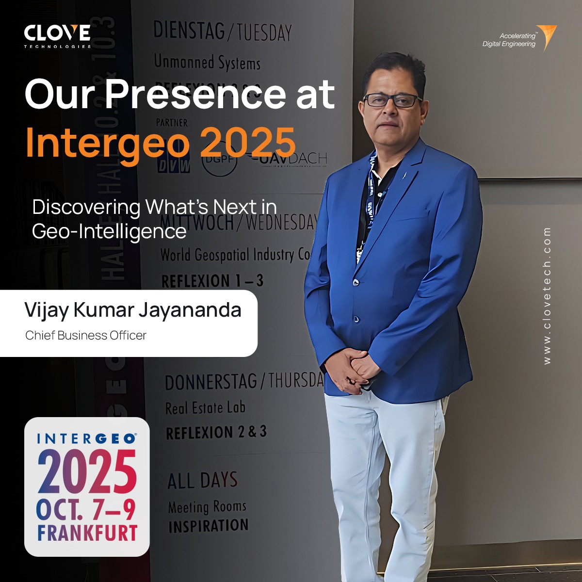
Honored to have our Chief Business Officer, Vijay Kumar Jayananda, represent @clovetech_offl at Intergeo 2025 in Frankfurt, Germany, connecting with the forefront of geospatial innovation. #Intergeo2025 #GeospatialInnovation #DigitalMapping #BIM #3DReality #DigitalConstruction

clovetech_offl's tweet image. Honored to have our Chief Business Officer, Vijay Kumar Jayananda, represent @clovetech_offl  at Intergeo 2025 in Frankfurt, Germany, connecting with the forefront of geospatial innovation. 

#Intergeo2025 #GeospatialInnovation #DigitalMapping #BIM #3DReality #DigitalConstruction

उत्तराखंड के ट्रैकिंग रूट्स की पहली बार होगी डिजिटल मैपिंग, शासन को भेजा गया नियमावली का ड्राफ्ट #uttarakhandnews #DigitalMapping #trek rajyasameeksha.com/uttarakhand/33…


State to digitally map Waqf properties City leads revenue and transparency push #WaqfProperties #DigitalMapping #Transparency #RevenueBoost Read: epaper.lokmat.com/articlepage.ph… Story by: Harsh Yadav

LokmatTimes_ngp's tweet image. State to digitally map Waqf properties
City leads revenue and transparency push
#WaqfProperties #DigitalMapping #Transparency #RevenueBoost 

Read: epaper.lokmat.com/articlepage.ph…

Story by: Harsh Yadav

🌍 From geolocation mishaps to mapping milestones! #JackDangermond #Esri #DigitalMapping #GIS #Success #TechInnovation Who is this person behind the story? 👇


Digital mapping and real-time monitoring improve transparency, safety, and planning in extraction activities, supporting data-driven decision-making .#DigitalMapping #Transparency


🌍 Connectivity starts with the ground, not the antenna. Relief, buildings, obstacles… every coverage decision must be based on real geospatial data. 📡 With #XIRIOOnline, accuracy begins at the base. 👉 xirio-online.com #RFPlanning #DigitalMapping #WirelessNetworks

APTICA_ES's tweet image. 🌍 Connectivity starts with the ground, not the antenna.

Relief, buildings, obstacles… every coverage decision must be based on real geospatial data.

📡 With #XIRIOOnline, accuracy begins at the base.
👉 xirio-online.com

#RFPlanning #DigitalMapping #WirelessNetworks

✈️ Living Map is live at Lima Airport, in both T1 and the new T2! With 24.5M+ passengers, Lima Airport needed a smart way to support growth. 🔗Learn more about the solution: livingmap.com/use-cases/tran… #LivingMap #DigitalMapping #DigitalWayfinding #LimaAirport

LivingMap's tweet image. ✈️ Living Map is live at Lima Airport, in both T1 and the new T2! 

With 24.5M+ passengers, Lima Airport needed a smart way to support growth.

🔗Learn more about the solution: livingmap.com/use-cases/tran…

#LivingMap #DigitalMapping #DigitalWayfinding #LimaAirport

🗺️ Not all maps are made for networks.⁣ Digital mapping ensures more accurate RF simulations.⁣ ⁣ ✅ Real-world 2D/3D layers⁣ ✅ Obstructions and terrain data⁣ ✅ Reliable results⁣ ⁣ 🎯 Request a free demo: [email protected]#DigitalMapping #APTICA #RFPlanning

APTICA_ES's tweet image. 🗺️ Not all maps are made for networks.⁣
Digital mapping ensures more accurate RF simulations.⁣
⁣
✅ Real-world 2D/3D layers⁣
✅ Obstructions and terrain data⁣
✅ Reliable results⁣
⁣
🎯 Request a free demo: comercial@aptica.es⁣

#DigitalMapping #APTICA #RFPlanning

Digital platforms mapping off-the-beaten-path destinations will empower independent travelers and reduce pressure on overcrowded sites like Machu Picchu. #DigitalMapping #SustainableTravel


Expanding volunteer-led digital mapping projects for heritage sites can crowdsource condition assessments and generate real-time conservation priorities. #DigitalMapping #Conservation


Launch of the Digital Huaca Project (2018) mapped 1,200 sacred sites with 3D scans, creating open-access resources for communities and researchers. #DigitalMapping #SacredSites


@here, a global leader in location #data and technology, has teamed up with #GenesysInternational, a pioneer in #digitalmapping, to combat distracted driving by bringing immersive #3Dnavigation solutions to Indian roads. #electronicsnews #technologynews timestech.in/here-genesys-j…


Honored to have our Chief Business Officer, Vijay Kumar Jayananda, represent @clovetech_offl at Intergeo 2025 in Frankfurt, Germany, connecting with the forefront of geospatial innovation. #Intergeo2025 #GeospatialInnovation #DigitalMapping #BIM #3DReality #DigitalConstruction

clovetech_offl's tweet image. Honored to have our Chief Business Officer, Vijay Kumar Jayananda, represent @clovetech_offl  at Intergeo 2025 in Frankfurt, Germany, connecting with the forefront of geospatial innovation. 

#Intergeo2025 #GeospatialInnovation #DigitalMapping #BIM #3DReality #DigitalConstruction

You are invited as we join #BroadbandWithoutBoundaries for “Trusting Your Broadband Mapping Data," a webinar focused on best practices in FWA network mapping. REGISTER TODAY:ow.ly/PwuT50R8zoz @WISPAnews #DigitalMapping #LastMile #Broadband #Wireless #Connectivity #FWA

WinncomTech's tweet image. You are invited as we join #BroadbandWithoutBoundaries for “Trusting Your Broadband Mapping Data," a webinar focused on best practices in FWA network mapping.  REGISTER TODAY:ow.ly/PwuT50R8zoz
@WISPAnews

#DigitalMapping #LastMile #Broadband #Wireless #Connectivity #FWA

🗺️Ready to shape the future of #DigitalMapping? Join us for a deep dive into the world of #OpenStreetMap with the new Rapid Editor 2.0. Key insights, live demos & more from @Meta and industry experts. No coding skills needed, just curiosity! my.demio.com/ref/km980KVapx…

geoawesome_dgtl's tweet image. 🗺️Ready to shape the future of #DigitalMapping? Join us for a deep dive into the world of #OpenStreetMap with the new Rapid Editor 2.0. Key insights, live demos & more from @Meta and industry experts. No coding skills needed, just curiosity!

my.demio.com/ref/km980KVapx…

पाटन र भक्तपुर । अब कताको नक्सा कथा बनाउदा ठिक होला ? #Nepal #DigitalMapping #Tourism

DhakalSaurav's tweet image. पाटन र भक्तपुर । अब कताको नक्सा कथा बनाउदा ठिक होला ? #Nepal #DigitalMapping #Tourism

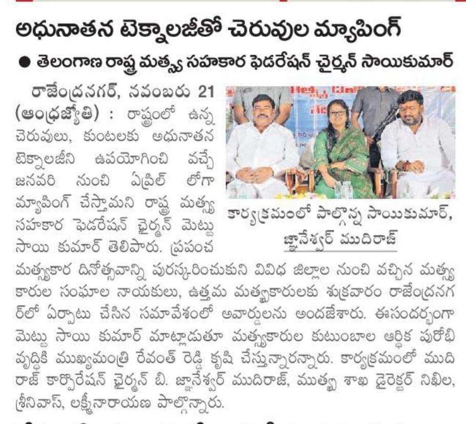
ముఖ్యమంత్రి రేవంత్ రెడ్డి నాయకత్వంలో తెలంగాణ ఆరోగ్య సేవల ప్రణాళికను నిర్వచిస్తోంది #Medical #DigitalMapping #UNICEF #NIUM #PHC

Gulabi_Ratnalu's tweet image. ముఖ్యమంత్రి రేవంత్ రెడ్డి నాయకత్వంలో తెలంగాణ ఆరోగ్య సేవల ప్రణాళికను నిర్వచిస్తోంది #Medical #DigitalMapping #UNICEF #NIUM #PHC

📢 Exciting research on historical map processing🗺️ Digital methods offer new possibilities for extracting geographic features, but uncertainties arise. This study explores hydrological features from old topographic maps and their impact on ecological indicators.🧪#DigitalMapping

GsisOffice's tweet image. 📢 Exciting research on historical map processing🗺️ Digital methods offer new possibilities for extracting geographic features, but uncertainties arise. This study explores hydrological features from old topographic maps and their impact on ecological indicators.🧪#DigitalMapping

ముఖ్యమంత్రి రేవంత్ రెడ్డి నాయకత్వంలో తెలంగాణ ఆరోగ్య సేవల ప్రణాళికను నిర్వచిస్తోంది #Medical #DigitalMapping #UNICEF #NIUM #PHC

gulabi_dongalu's tweet image. ముఖ్యమంత్రి రేవంత్ రెడ్డి నాయకత్వంలో తెలంగాణ ఆరోగ్య సేవల ప్రణాళికను నిర్వచిస్తోంది #Medical #DigitalMapping #UNICEF #NIUM #PHC

Visit NEARMOTION at #GITEX Global, Dubai from 15 - 18 October. Hall 14. #جايتكس #DigitalMapping #IndoorNavigation #AR

NearMotion's tweet image. Visit NEARMOTION at #GITEX Global, Dubai from 15 - 18 October. Hall 14.

#جايتكس #DigitalMapping #IndoorNavigation #AR

Fresh from a @SellyOakNNS community mtg where I talked abt need for tech companies to be more responsive to what people need, we're at a #BTW23 event on #DigitalMapping where the @Microsoft speaker has said much the same #WorldsColliding #DigitalInclusion

DigitalNNS's tweet image. Fresh from a @SellyOakNNS community mtg where I talked abt need for tech companies to be more responsive to what people need, we're at a #BTW23 event on #DigitalMapping where the @Microsoft speaker has said much the same #WorldsColliding #DigitalInclusion

Explore Uganda like never before with OpenStreetMap! Whether you're planning a trip, learning about local geography, or contributing to community-driven mapping efforts, OSM Uganda has you covered. #OpenStreetMap #OSMUganda #DigitalMapping

osmuganda's tweet image. Explore Uganda like never before with OpenStreetMap! Whether you're planning a trip, learning about local geography, or contributing to community-driven mapping efforts, OSM Uganda has you covered. #OpenStreetMap #OSMUganda  #DigitalMapping

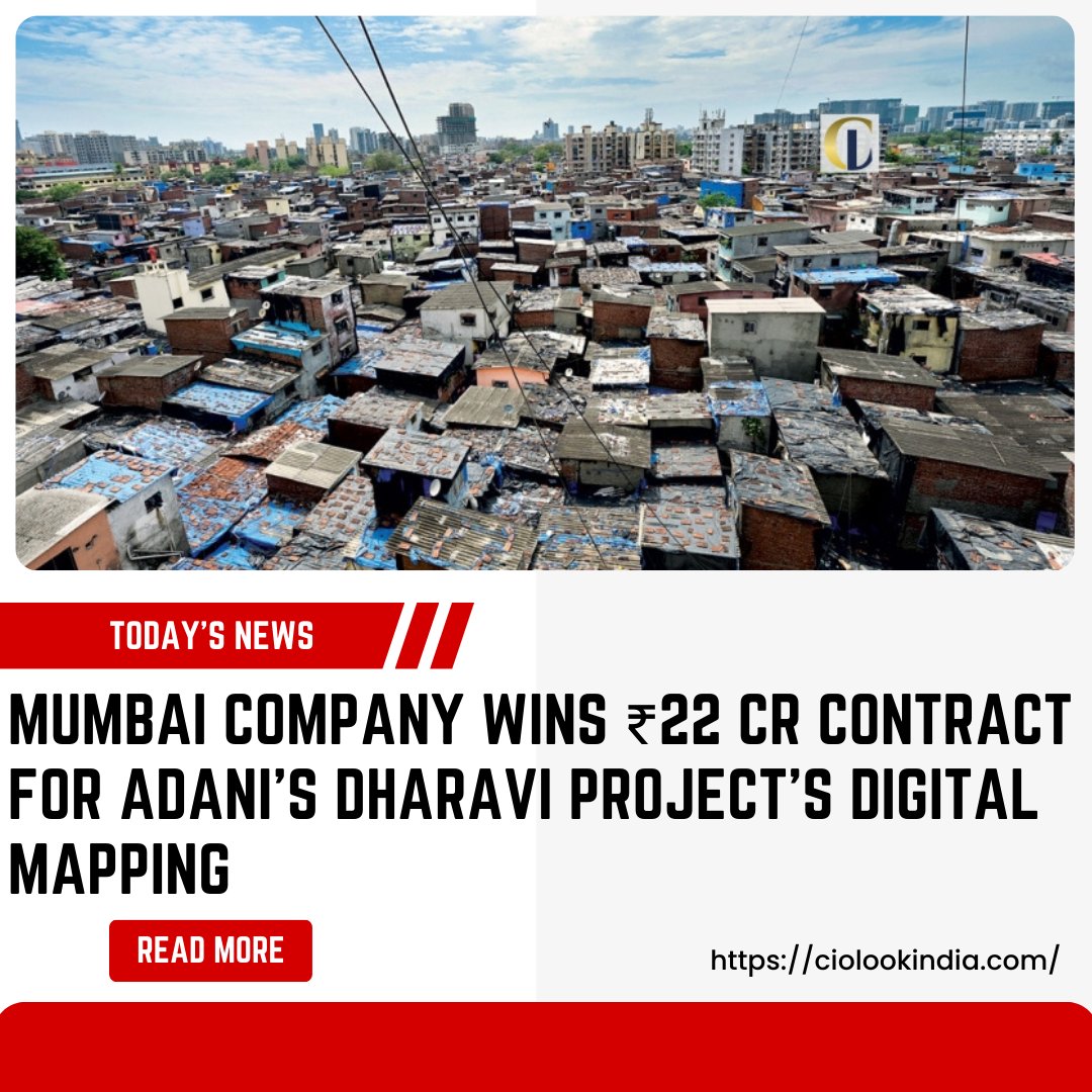
𝐌𝐮𝐦𝐛𝐚𝐢 𝐂𝐨𝐦𝐩𝐚𝐧𝐲 𝐖𝐢𝐧𝐬 ₹𝟐𝟐 𝐂𝐫 𝐂𝐨𝐧𝐭𝐫𝐚𝐜𝐭 𝐟𝐨𝐫 𝐀𝐝𝐚𝐧𝐢’𝐬 𝐃𝐡𝐚𝐫𝐚𝐯𝐢 𝐏𝐫𝐨𝐣𝐞𝐜𝐭’𝐬 𝐃𝐢𝐠𝐢𝐭𝐚𝐥 𝐌𝐚𝐩𝐩𝐢𝐧𝐠 𝐑𝐞𝐚𝐝 𝐌𝐨𝐫𝐞: bit.ly/4apnIhD #AdaniProjects #DigitalMapping #MumbaiContractor #DharaviDevelopment #CiolookIndia

CIOLookmedia's tweet image. 𝐌𝐮𝐦𝐛𝐚𝐢 𝐂𝐨𝐦𝐩𝐚𝐧𝐲 𝐖𝐢𝐧𝐬 ₹𝟐𝟐 𝐂𝐫 𝐂𝐨𝐧𝐭𝐫𝐚𝐜𝐭 𝐟𝐨𝐫 𝐀𝐝𝐚𝐧𝐢’𝐬 𝐃𝐡𝐚𝐫𝐚𝐯𝐢 𝐏𝐫𝐨𝐣𝐞𝐜𝐭’𝐬 𝐃𝐢𝐠𝐢𝐭𝐚𝐥 𝐌𝐚𝐩𝐩𝐢𝐧𝐠

𝐑𝐞𝐚𝐝 𝐌𝐨𝐫𝐞: bit.ly/4apnIhD

#AdaniProjects #DigitalMapping #MumbaiContractor #DharaviDevelopment #CiolookIndia

A fab day talking all things #gis @EsriChina #CPD #digitalmapping - Now to embed all the ideas into our teaching!🤓🗺️

HarrowHKGeog's tweet image. A fab day talking all things #gis @EsriChina #CPD #digitalmapping - Now to embed all the ideas into our teaching!🤓🗺️

Did you back up your family photos to your cloud storage? Brilliant. You gave a map to your family - locations, patterns, preferences... What info will you give away next? #CloudLeak #PrivacyMatters #DigitalMapping #DeadSwitchProtocol #ThinkBeforeYouSync

TomsItCafe's tweet image. Did you back up your family photos to your cloud storage?
Brilliant.
You gave a map to your family - locations, patterns, preferences...
What info will you give away next?

#CloudLeak #PrivacyMatters #DigitalMapping #DeadSwitchProtocol #ThinkBeforeYouSync

🗺️ Not all maps are made for networks.⁣ Digital mapping ensures more accurate RF simulations.⁣ ⁣ ✅ Real-world 2D/3D layers⁣ ✅ Obstructions and terrain data⁣ ✅ Reliable results⁣ ⁣ 🎯 Request a free demo: [email protected]#DigitalMapping #APTICA #RFPlanning

APTICA_ES's tweet image. 🗺️ Not all maps are made for networks.⁣
Digital mapping ensures more accurate RF simulations.⁣
⁣
✅ Real-world 2D/3D layers⁣
✅ Obstructions and terrain data⁣
✅ Reliable results⁣
⁣
🎯 Request a free demo: comercial@aptica.es⁣

#DigitalMapping #APTICA #RFPlanning

🌍 Connectivity starts with the ground, not the antenna. Relief, buildings, obstacles… every coverage decision must be based on real geospatial data. 📡 With #XIRIOOnline, accuracy begins at the base. 👉 xirio-online.com #RFPlanning #DigitalMapping #WirelessNetworks

APTICA_ES's tweet image. 🌍 Connectivity starts with the ground, not the antenna.

Relief, buildings, obstacles… every coverage decision must be based on real geospatial data.

📡 With #XIRIOOnline, accuracy begins at the base.
👉 xirio-online.com

#RFPlanning #DigitalMapping #WirelessNetworks

Digital Mapping and Road Safety. How does it work? shar.es/10EZQm #ArriveAlive #DigitalMapping

_ArriveAlive's tweet image. Digital Mapping and Road Safety.  How does it work? shar.es/10EZQm #ArriveAlive #DigitalMapping

10,000+ apply for 5,000 licensed surveyor posts in Telangana. Training starts 26 May. Digital village map rollout begins in 3 pilot locations this week. #LandReform #SurveyorsTelangana #DigitalMapping Read More: hyderabadnewshunt.com/10000-applicat…

hydnewshunt's tweet image. 10,000+ apply for 5,000 licensed surveyor posts in Telangana. Training starts 26 May. Digital village map rollout begins in 3 pilot locations this week.

#LandReform #SurveyorsTelangana #DigitalMapping

Read More: hyderabadnewshunt.com/10000-applicat…

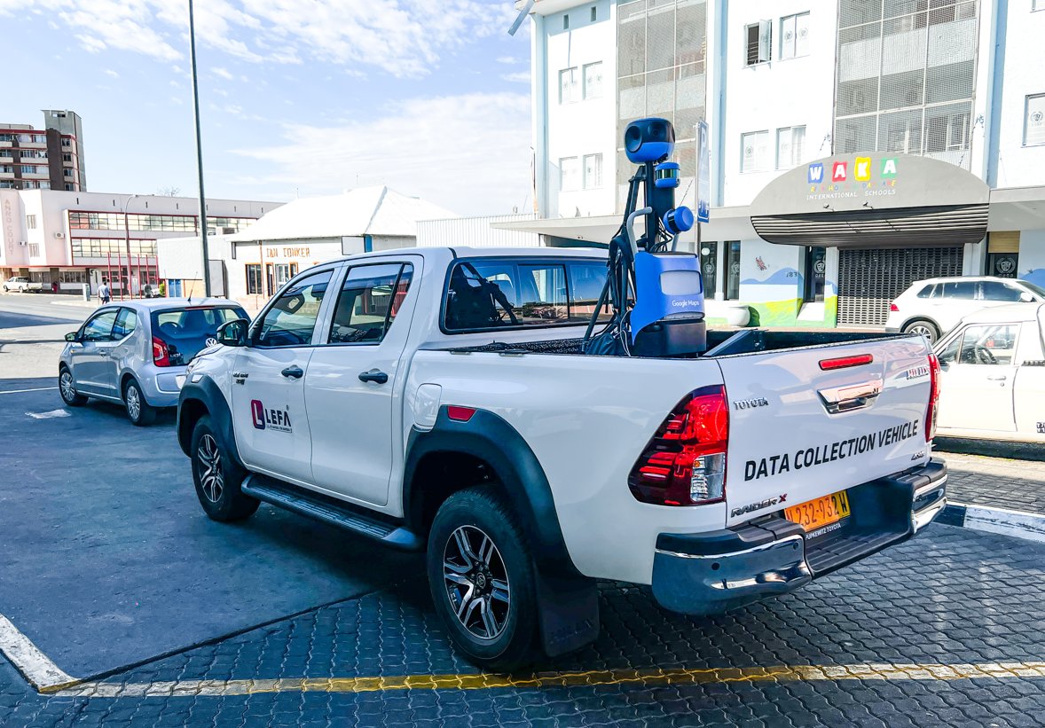
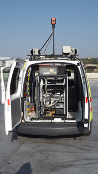
Exciting news from Windhoek! LEFA, collaborating with a tech giant, maps Namibia's extensive road network. This groundbreaking initiative offers a 360-degree street view, opening possibilities for tourism, research, education, and accessibility planning. #LEFA #DigitalMapping

NamibiaDaily's tweet image. Exciting news from Windhoek! LEFA, collaborating with a tech giant, maps Namibia's extensive road network. This groundbreaking initiative offers a 360-degree street view, opening possibilities for tourism, research, education, and accessibility planning. 
#LEFA #DigitalMapping

We use Digital Community Mapping and Storytelling tools to enhance GIS data for public use and make an interesting story presentation out of that data for further planning , dreamcities.org #DigitalMapping #Nepal #ClimateActionNow

Storycycle's tweet image. We use Digital Community Mapping and Storytelling tools to enhance GIS data for public use and make an interesting story presentation out of that data for further planning , 
dreamcities.org #DigitalMapping #Nepal #ClimateActionNow
Storycycle's tweet image. We use Digital Community Mapping and Storytelling tools to enhance GIS data for public use and make an interesting story presentation out of that data for further planning , 
dreamcities.org #DigitalMapping #Nepal #ClimateActionNow
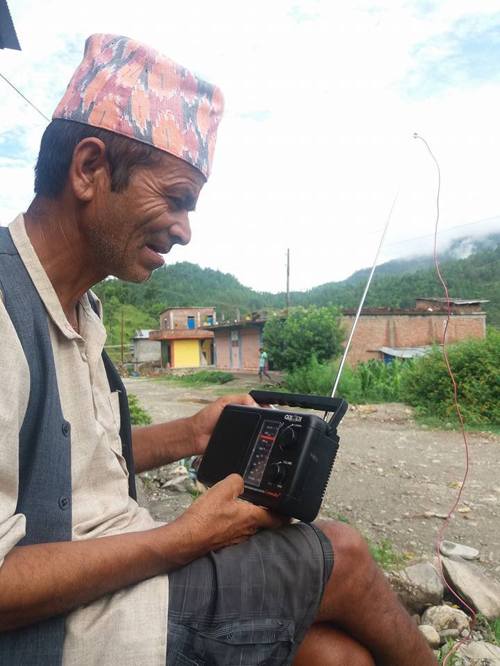
Storycycle's tweet image. We use Digital Community Mapping and Storytelling tools to enhance GIS data for public use and make an interesting story presentation out of that data for further planning , 
dreamcities.org #DigitalMapping #Nepal #ClimateActionNow
Storycycle's tweet image. We use Digital Community Mapping and Storytelling tools to enhance GIS data for public use and make an interesting story presentation out of that data for further planning , 
dreamcities.org #DigitalMapping #Nepal #ClimateActionNow

Loading...

Something went wrong.


Something went wrong.


United States Trends