#digitalmapping search results

Finding your way through a hospital shouldn’t add to the stress.See how Living Map is transforming patient and visitor journeys at South Warwickshire NHS Foundation Trust with intuitive digital wayfinding. 👀 This is how it works... #LivingMap #DigitalMapping #HospitalNavigation

India Sets an Ambitious Goal: 1,000 Cities to Be Digitally Mapped in 5 Years ! Read more: rprealtyplus.com/news-views/ind… #IndiaRealEstate #DigitalMapping #UrbanReforms #SmartCitiesMission #PropTech #RealtyPlus #UrbanIndia #GeospatialTech


નવસારી મહાનગરપાલિકા દ્વારા ‘નકશા પ્રોજેક્ટ’ અંતર્ગત શહેરમાં મિલકતોના સર્વે માટે તબક્કાવાર કામગીરી હાથ ધરવામાં આવી છે. ડ્રોન ફ્લાઇટથી લઇને ગ્રાઉન્ડ ટ્રુથિંગ, હક ચકાસણી અને પ્રોમલગેશન સુધીની તમામ પ્રક્રિયા પારદર્શક રીતે પૂર્ણ કરવામાં આવી રહી છે. #DigitalMapping #UrbanDevelopment


Hear Jason Jameson shares key customer stories for #HERE technologies in the Asia Pacific #locationintelligence #digitalmapping #markettrends Full Video: youtu.be/xKI41lAObkI

Visit NEARMOTION at #GITEX Global, Dubai from 15 - 18 October. Hall 14. #جايتكس #DigitalMapping #IndoorNavigation #AR


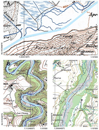
📢 Exciting research on historical map processing🗺️ Digital methods offer new possibilities for extracting geographic features, but uncertainties arise. This study explores hydrological features from old topographic maps and their impact on ecological indicators.🧪#DigitalMapping

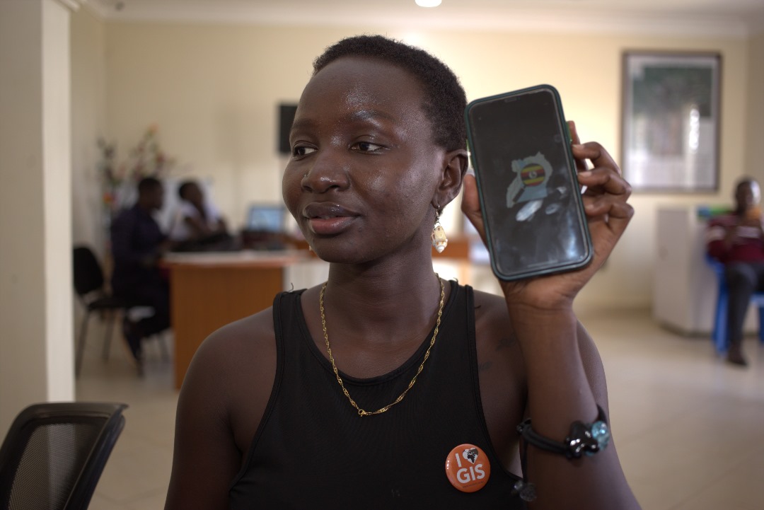
Does your organization empower youth in Uganda through workforce development or entrepreneurship? @StartHubAfrica invites you to join the Briter Digital Mapping Initiative. 👉Register here: starthubafrica.org/mapping #DigitalMapping

Is your organization supporting youth in Uganda through workforce development or entrepreneurship programs? @StartHubAfrica invites you to join the Briter Digital Mapping Initiative. 👉Register here: starthubafrica.org/mapping #DigitalMapping

Navigation should be accessible to everyone. That’s why the Living Map software is now available in multiple languages including Spanish, Chinese, Greek, Arabic, Croatian and Vietnamese. #LivingMap #Multilanguage #DigitalMapping #Navigation


🗺️Ready to shape the future of #DigitalMapping? Join us for a deep dive into the world of #OpenStreetMap with the new Rapid Editor 2.0. Key insights, live demos & more from @Meta and industry experts. No coding skills needed, just curiosity! my.demio.com/ref/km980KVapx…

Congratulations to UNC geog grad Mark Chilton, winner of the Online Map category at today’s UNC GIS Day! His project, “The History of Chapel Hill’s ‘Color Line’,” offers a powerful interactive look at local history. registerchilton.github.io/Geography456//… 🗺️📚 #GISDay #UNCGIS #DigitalMapping

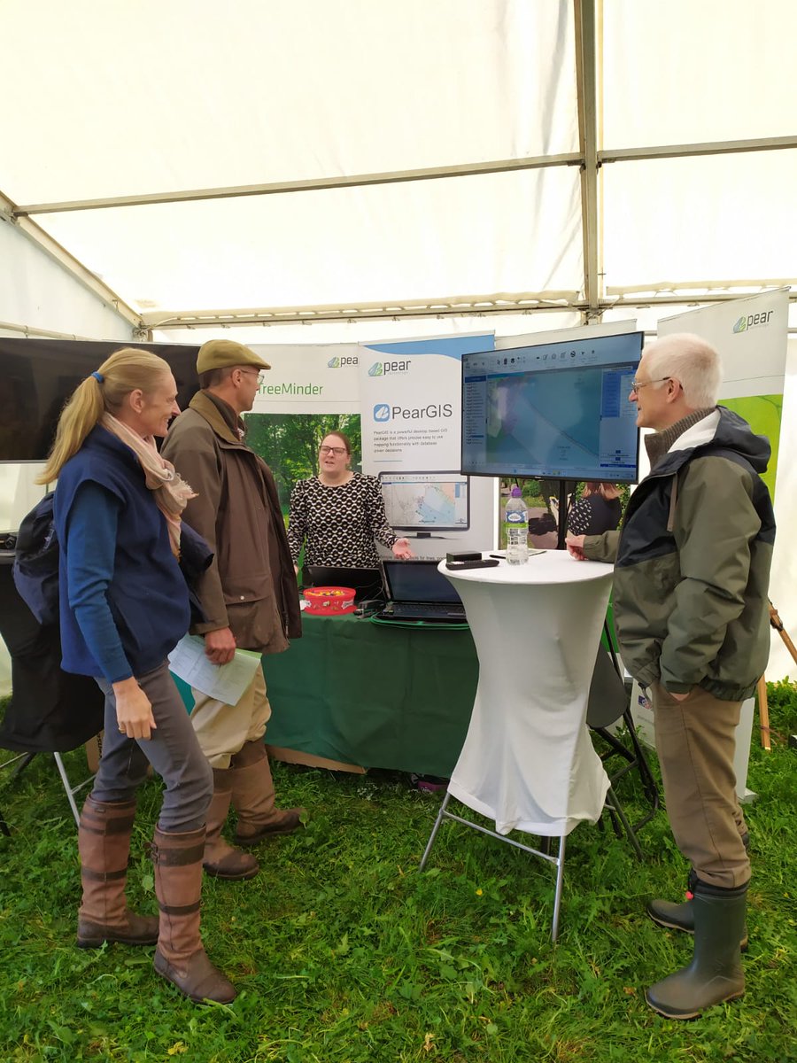
The Pear team are at the Confor Woodland Show today! Visit our stand to find out how our new mapping software, PearGIS, along with GPS, can help you manage your land! #ConforWS23 #digitalmapping

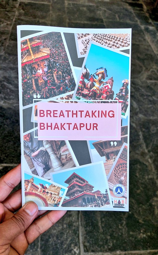
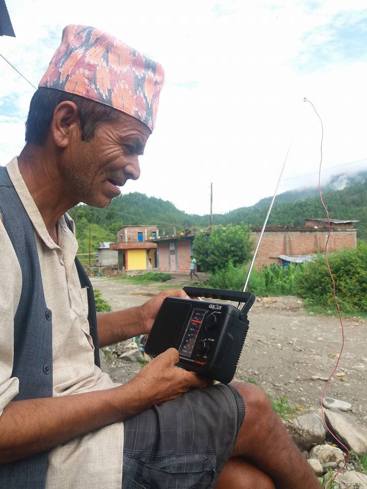
We use Digital Community Mapping and Storytelling tools to enhance GIS data for public use and make an interesting story presentation out of that data for further planning , dreamcities.org #DigitalMapping #Nepal #ClimateActionNow


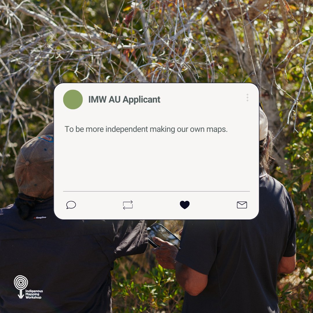
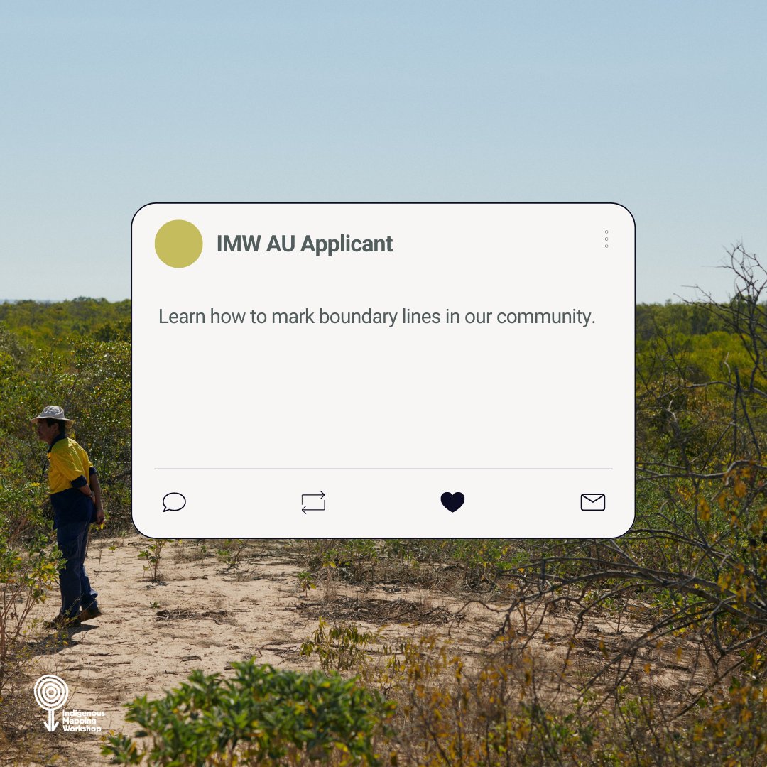
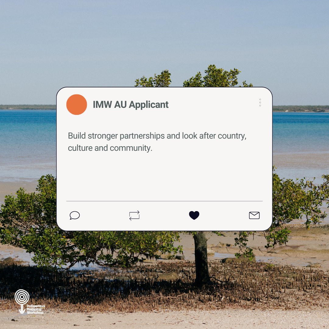
Looking after Country, culture and community, having sovereignty over data and learning how to utilise that data are just some of the drivers our #IMWauOD applicants have for learning #digitalmapping skills. What are yours? #CaringforCountry #DataSovereignty

A fab day talking all things #gis @EsriChina #CPD #digitalmapping - Now to embed all the ideas into our teaching!🤓🗺️

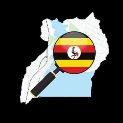
Explore Uganda like never before with OpenStreetMap! Whether you're planning a trip, learning about local geography, or contributing to community-driven mapping efforts, OSM Uganda has you covered. #OpenStreetMap #OSMUganda #DigitalMapping


India Sets an Ambitious Goal: 1,000 Cities to Be Digitally Mapped in 5 Years ! Read more: rprealtyplus.com/news-views/ind… #IndiaRealEstate #DigitalMapping #UrbanReforms #SmartCitiesMission #PropTech #RealtyPlus #UrbanIndia #GeospatialTech

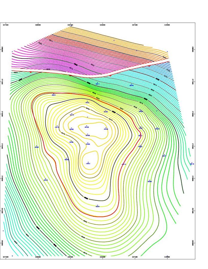
Digital Geologic Mapping: Real-Time Field Data 🗺️ Process creating real-time geologic maps on computers/PDA during fieldwork. Enhances accuracy & efficiency in geological surveys. 🔗: encyclopedia.pub/entry/34681 #Geology #DigitalMapping #Geoscience
Congratulations to UNC geog grad Mark Chilton, winner of the Online Map category at today’s UNC GIS Day! His project, “The History of Chapel Hill’s ‘Color Line’,” offers a powerful interactive look at local history. registerchilton.github.io/Geography456//… 🗺️📚 #GISDay #UNCGIS #DigitalMapping

💚 GENESYS INTERNATIONAL – STRONG Q2FY26 RESULTS AND SOLID GROWTH MOMENTUM #Genesys #DigitalMapping #Geospatial ▪️ Revenue rose to ₹80.8 crore, up 10.6% year-on-year and 12% quarter-on-quarter, showing steady business growth. ▪️ EBITDA came in at ₹33.8 crore, up 11.4% YoY and…
Finding your way through a hospital shouldn’t add to the stress.See how Living Map is transforming patient and visitor journeys at South Warwickshire NHS Foundation Trust with intuitive digital wayfinding. 👀 This is how it works... #LivingMap #DigitalMapping #HospitalNavigation
નવસારી મહાનગરપાલિકા દ્વારા ‘નકશા પ્રોજેક્ટ’ અંતર્ગત શહેરમાં મિલકતોના સર્વે માટે તબક્કાવાર કામગીરી હાથ ધરવામાં આવી છે. ડ્રોન ફ્લાઇટથી લઇને ગ્રાઉન્ડ ટ્રુથિંગ, હક ચકાસણી અને પ્રોમલગેશન સુધીની તમામ પ્રક્રિયા પારદર્શક રીતે પૂર્ણ કરવામાં આવી રહી છે. #DigitalMapping #UrbanDevelopment
Navigation should be accessible to everyone. That’s why the Living Map software is now available in multiple languages including Spanish, Chinese, Greek, Arabic, Croatian and Vietnamese. #LivingMap #Multilanguage #DigitalMapping #Navigation

🗺️ #DigitalMaps are reshaping navigation in an increasingly digital world. From #GPSnavigation and logistics to urban planning and autonomous vehicles, #DigitalMapping technology is everywhere: bit.ly/3Jr2nf4 #maps #GeospatialAnalytics #GeolocationServices


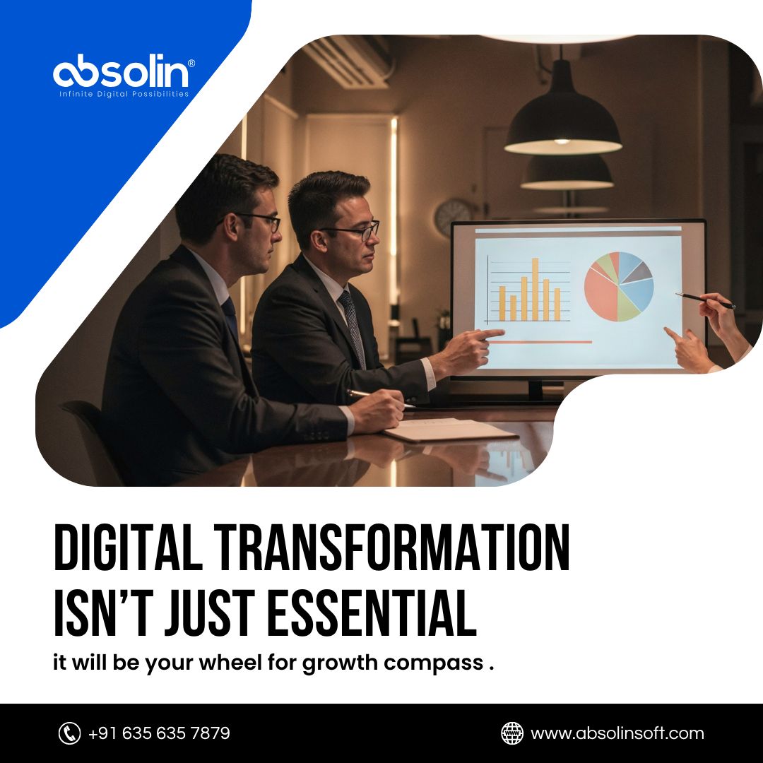
Where are you on the digital maturity map? Absolin benchmarks, builds & boosts your ecosystem so you’re always steps ahead of disruption. Ready to chart your journey? 👉 absolinsoft.com #DigitalMapping #TechStrategy #Absolin

Honored to have our Chief Business Officer, Vijay Kumar Jayananda, represent @clovetech_offl at Intergeo 2025 in Frankfurt, Germany, connecting with the forefront of geospatial innovation. #Intergeo2025 #GeospatialInnovation #DigitalMapping #BIM #3DReality #DigitalConstruction
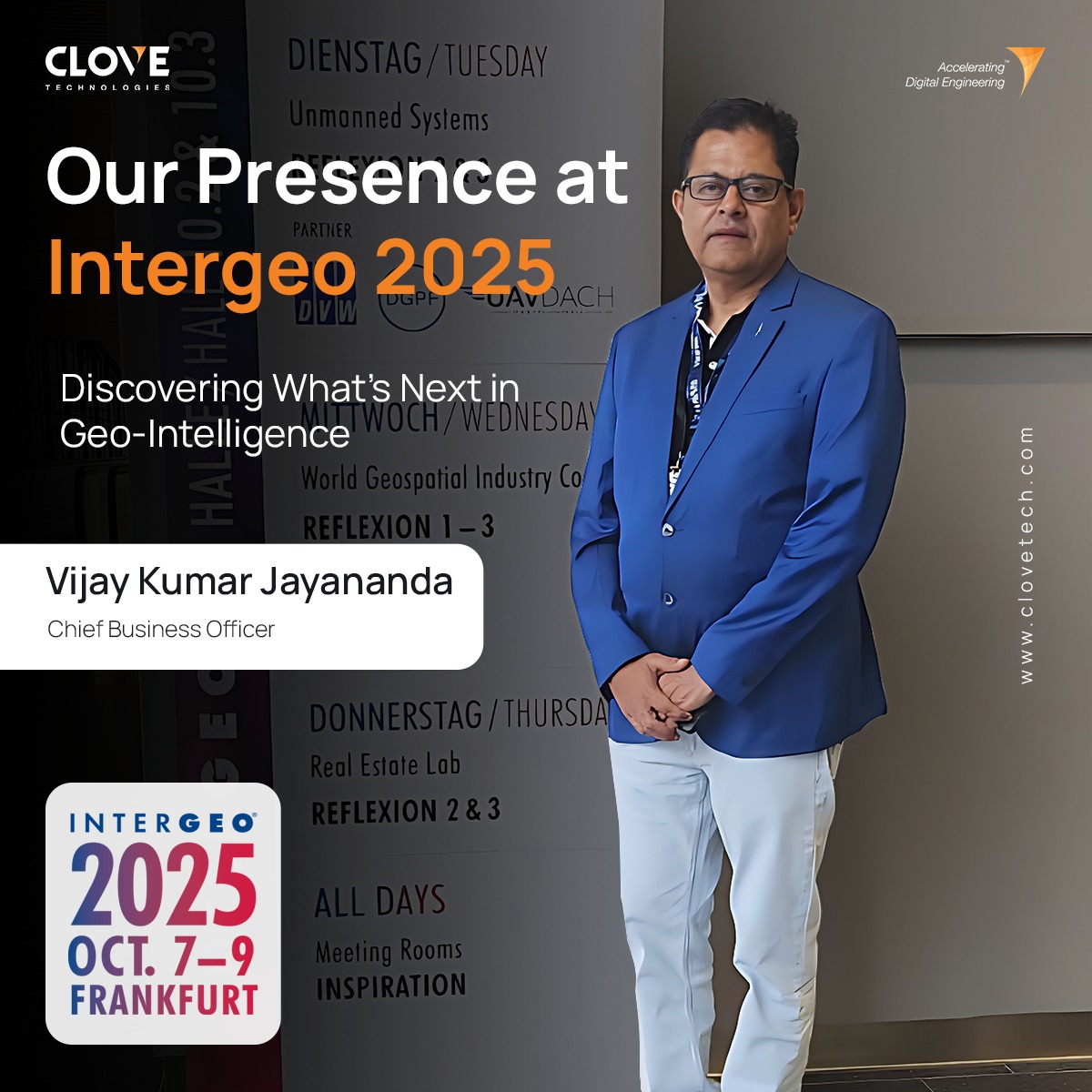

Honored to have our Chief Business Officer, Vijay Kumar Jayananda, represent @clovetech_offl at Intergeo 2025 in Frankfurt, Germany, connecting with the forefront of geospatial innovation. #Intergeo2025 #GeospatialInnovation #DigitalMapping #BIM #3DReality #DigitalConstruction
🗺️ #DigitalMaps are reshaping navigation in an increasingly digital world. From #GPSnavigation and logistics to urban planning and autonomous vehicles, #DigitalMapping technology is everywhere: bit.ly/3Jr2nf4 #maps #GeospatialAnalytics #GeolocationServices
🗺️Ready to shape the future of #DigitalMapping? Join us for a deep dive into the world of #OpenStreetMap with the new Rapid Editor 2.0. Key insights, live demos & more from @Meta and industry experts. No coding skills needed, just curiosity! my.demio.com/ref/km980KVapx…
ముఖ్యమంత్రి రేవంత్ రెడ్డి నాయకత్వంలో తెలంగాణ ఆరోగ్య సేవల ప్రణాళికను నిర్వచిస్తోంది #Medical #DigitalMapping #UNICEF #NIUM #PHC


📢 Exciting research on historical map processing🗺️ Digital methods offer new possibilities for extracting geographic features, but uncertainties arise. This study explores hydrological features from old topographic maps and their impact on ecological indicators.🧪#DigitalMapping
📚 Navigating Bath Spa Uni has never been easier! The university is using Living Map’s digital mapping technology to help students, staff, and visitors navigate its large, historic campus with ease. 🔗Learn how: ohttps://lnkd.in/eDS_X6aT #BathSpaUniversity #DigitalMapping


Visit NEARMOTION at #GITEX Global, Dubai from 15 - 18 October. Hall 14. #جايتكس #DigitalMapping #IndoorNavigation #AR

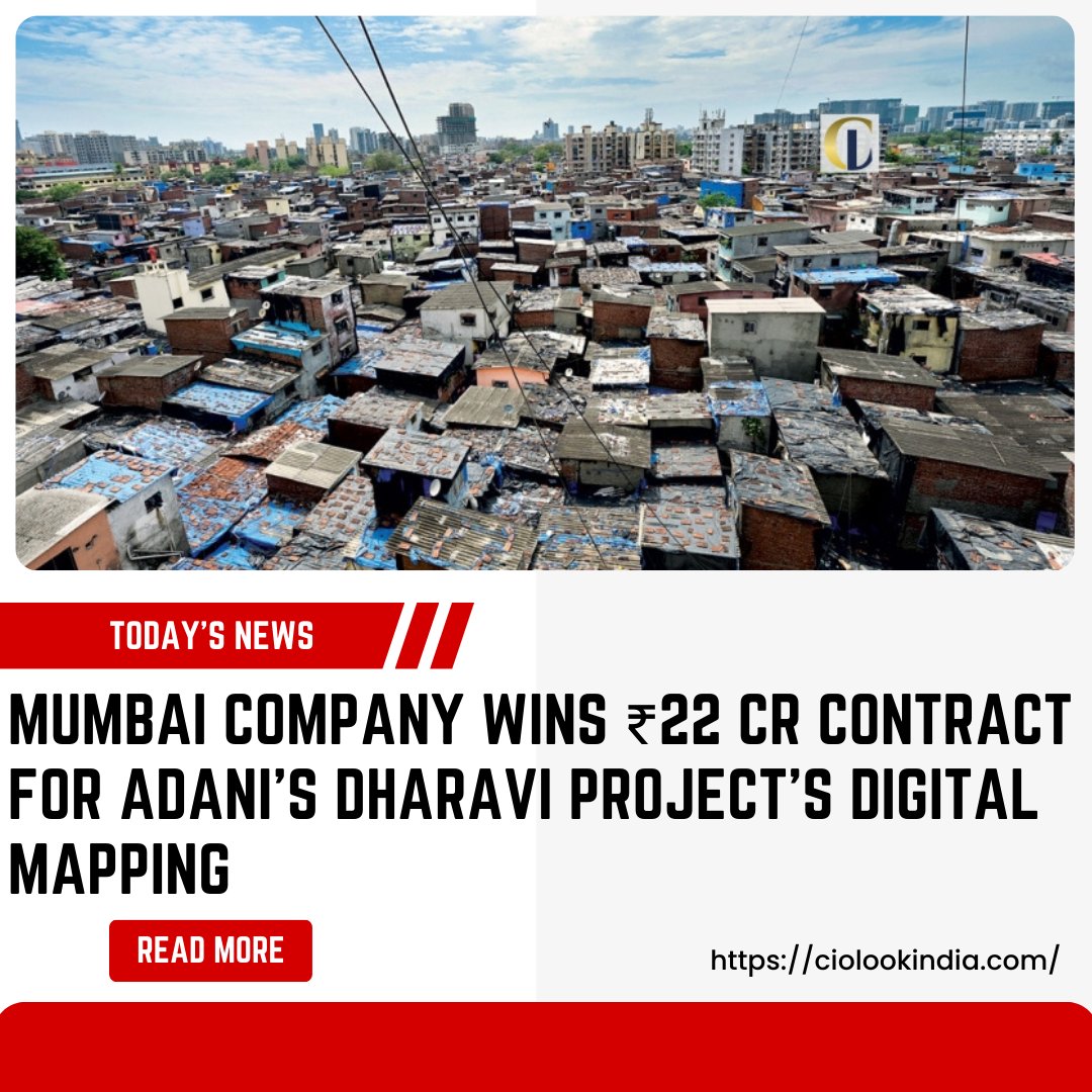
𝐌𝐮𝐦𝐛𝐚𝐢 𝐂𝐨𝐦𝐩𝐚𝐧𝐲 𝐖𝐢𝐧𝐬 ₹𝟐𝟐 𝐂𝐫 𝐂𝐨𝐧𝐭𝐫𝐚𝐜𝐭 𝐟𝐨𝐫 𝐀𝐝𝐚𝐧𝐢’𝐬 𝐃𝐡𝐚𝐫𝐚𝐯𝐢 𝐏𝐫𝐨𝐣𝐞𝐜𝐭’𝐬 𝐃𝐢𝐠𝐢𝐭𝐚𝐥 𝐌𝐚𝐩𝐩𝐢𝐧𝐠 𝐑𝐞𝐚𝐝 𝐌𝐨𝐫𝐞: bit.ly/4apnIhD #AdaniProjects #DigitalMapping #MumbaiContractor #DharaviDevelopment #CiolookIndia

Did you back up your family photos to your cloud storage? Brilliant. You gave a map to your family - locations, patterns, preferences... What info will you give away next? #CloudLeak #PrivacyMatters #DigitalMapping #DeadSwitchProtocol #ThinkBeforeYouSync

A fab day talking all things #gis @EsriChina #CPD #digitalmapping - Now to embed all the ideas into our teaching!🤓🗺️
We use Digital Community Mapping and Storytelling tools to enhance GIS data for public use and make an interesting story presentation out of that data for further planning , dreamcities.org #DigitalMapping #Nepal #ClimateActionNow

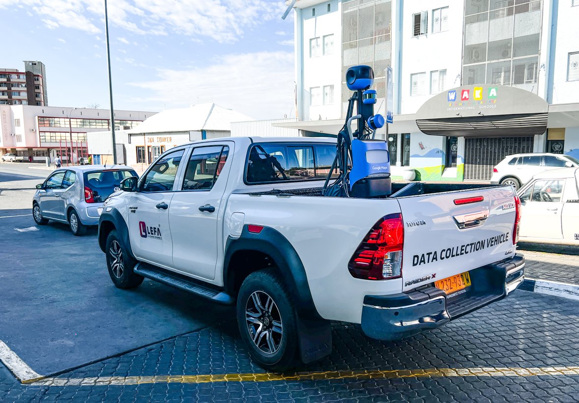
Exciting news from Windhoek! LEFA, collaborating with a tech giant, maps Namibia's extensive road network. This groundbreaking initiative offers a 360-degree street view, opening possibilities for tourism, research, education, and accessibility planning. #LEFA #DigitalMapping
Digital Geologic Mapping: Real-Time Field Data 🗺️ Process creating real-time geologic maps on computers/PDA during fieldwork. Enhances accuracy & efficiency in geological surveys. 🔗: encyclopedia.pub/entry/34681 #Geology #DigitalMapping #Geoscience

Fresh from a @SellyOakNNS community mtg where I talked abt need for tech companies to be more responsive to what people need, we're at a #BTW23 event on #DigitalMapping where the @Microsoft speaker has said much the same #WorldsColliding #DigitalInclusion


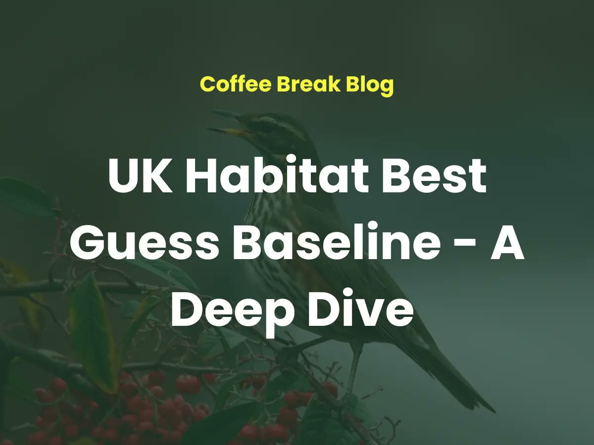
📍 Mapping habitats just got faster. Our Best Guess Baseline converts existing data into UK Habitat Classification - cutting pre-survey time and boosting accuracy. 👉 Find out more hubs.li/Q03lzm1t0 #ConservationPlanning #DigitalMapping
Something went wrong.
Something went wrong.
United States Trends
- 1. Cowboys 69.1K posts
- 2. LeBron 90.5K posts
- 3. Gibbs 18.2K posts
- 4. Lions 84.3K posts
- 5. Pickens 12.6K posts
- 6. Brandon Aubrey 6,852 posts
- 7. #OnePride 9,708 posts
- 8. Ferguson 10.3K posts
- 9. #DALvsDET 5,999 posts
- 10. Eberflus 2,273 posts
- 11. Goff 8,241 posts
- 12. CeeDee 9,925 posts
- 13. Bland 8,277 posts
- 14. Shang Tsung 18.3K posts
- 15. DJ Reed N/A
- 16. Al Michaels N/A
- 17. Schotty 1,745 posts
- 18. Austin Reaves 13.9K posts
- 19. Turpin 2,166 posts
- 20. #LakeShow 4,699 posts