#geospatialapplications résultats de recherche

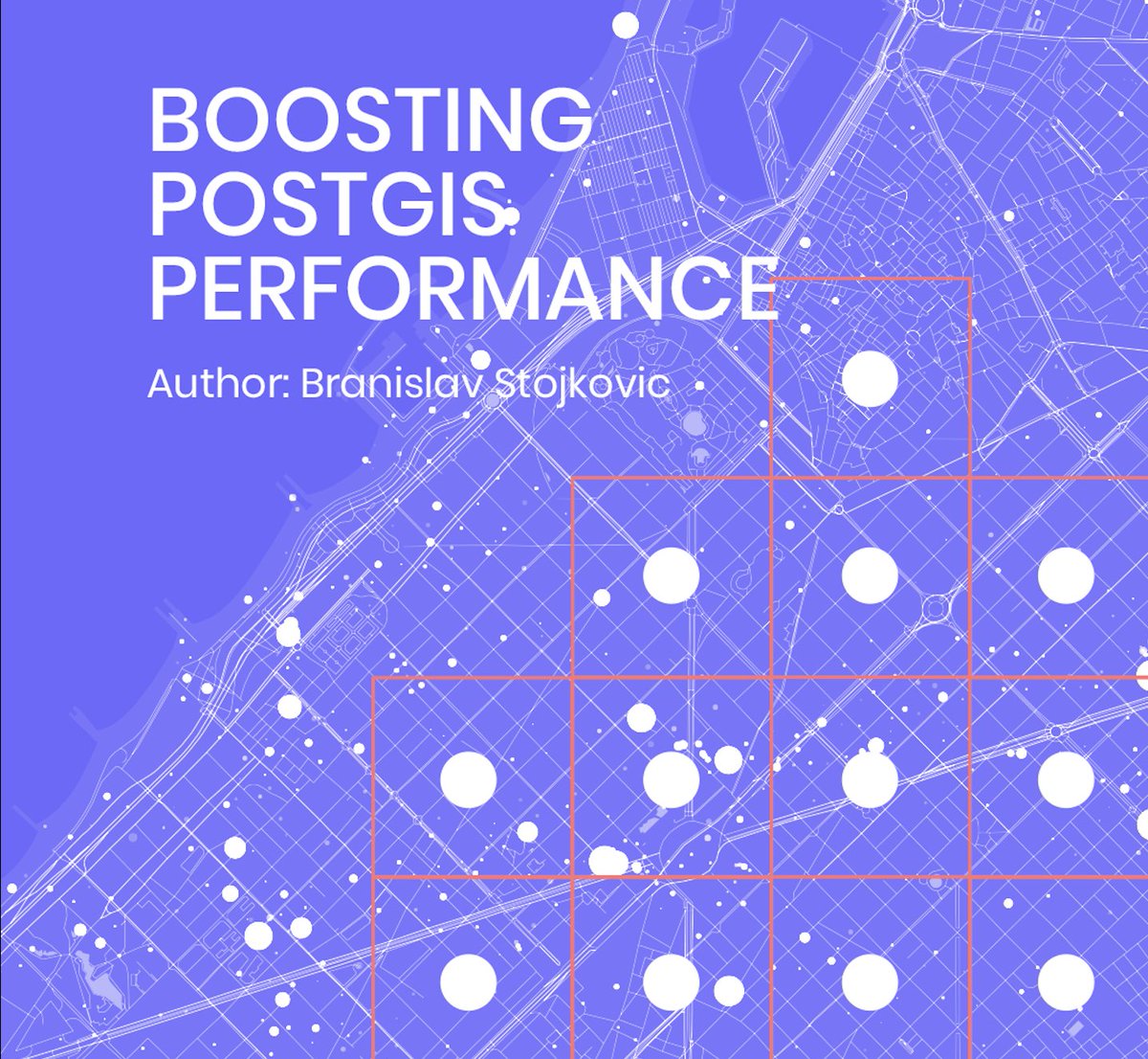
🔗symp.ink/3Cmpakn – Do spatial indexing, polygon subdivision, and polygon simplification techniques capture your curiosity? If yes, this is the perfect article for you! #geospatialapplications #spatialindexing

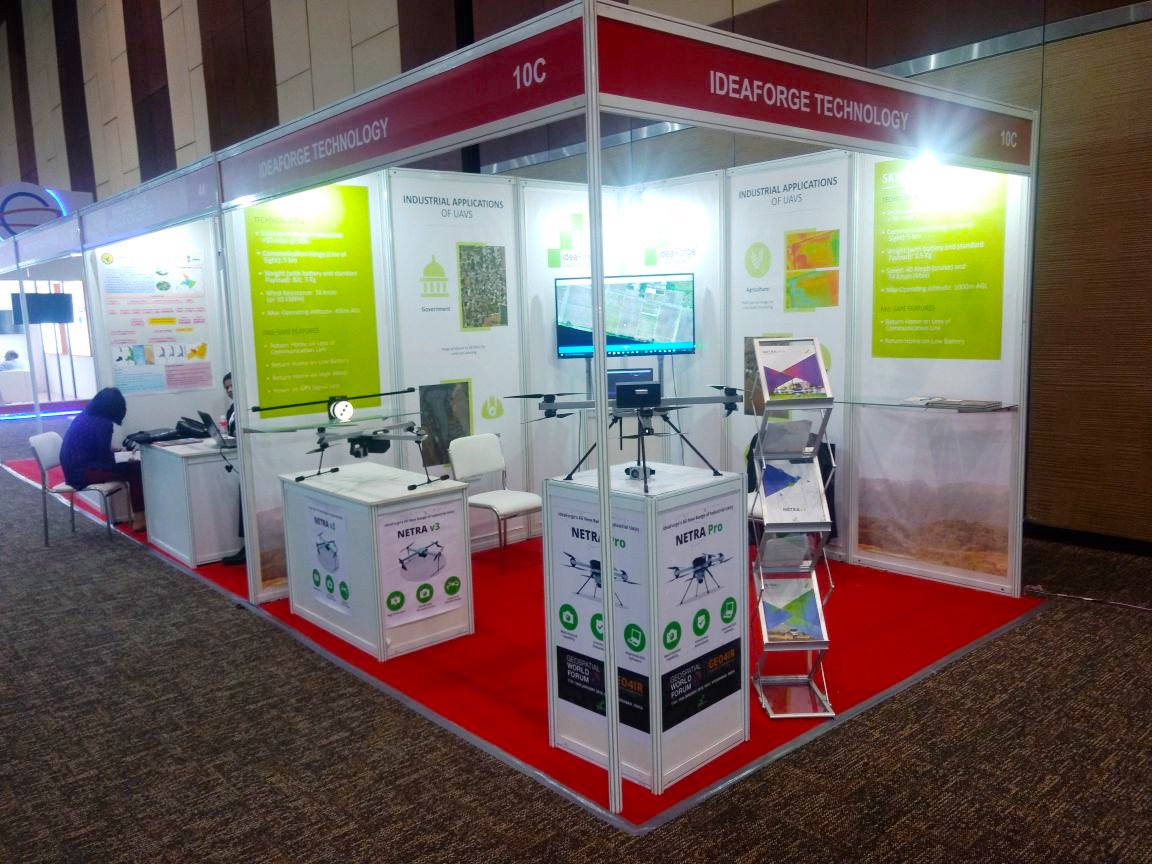
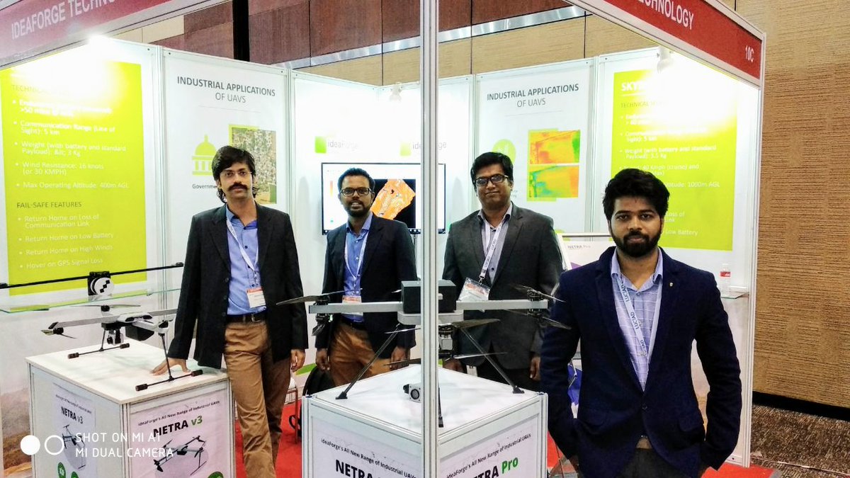
The Geospatial World Forum 2018 is under way and we are so excited to be here! Come on over and meet the team at booth 10-C to get an in-depth understanding of our UAVs and drone-based services! #GWF2018 #Geospatialapplications #UAVs #Hyderabad #India #Technology

Congratulations to @NYU_CUSP grad Sonam Bagul and #Tandon professor Debra Laefer who've won a NY State GIS award for their work in #geospatialapplications #NYUTandonMade


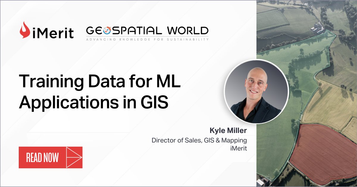
Learn how we extract spectral, spatial, and texture attributes from #geospatial imagery to power different use cases of #geospatialapplications, including land use planning, #agriculture, national security, and disaster management. Read now: hubs.ly/Q01DtgHy0 #aiml

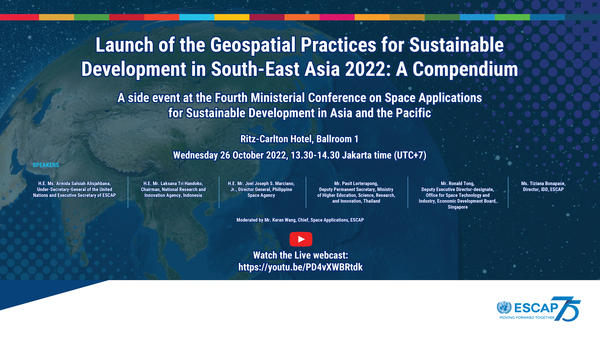
Launch of the Geospatial Practices for Sustainable Development in South-East Asia 2022: A Compendium 🛰️ Happening now: youtube.com/watch?v=PD4vXW… #Space4SDGs #GeospatialApplications #UnitedNations

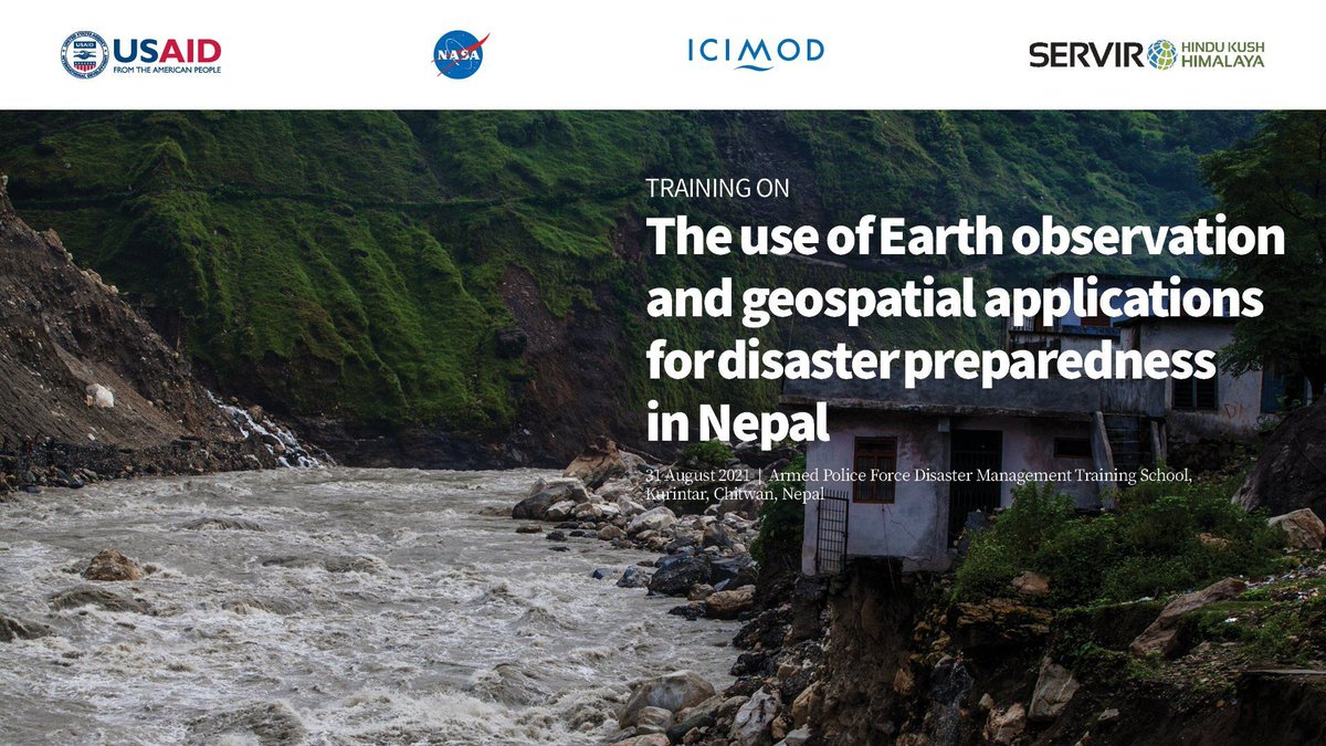
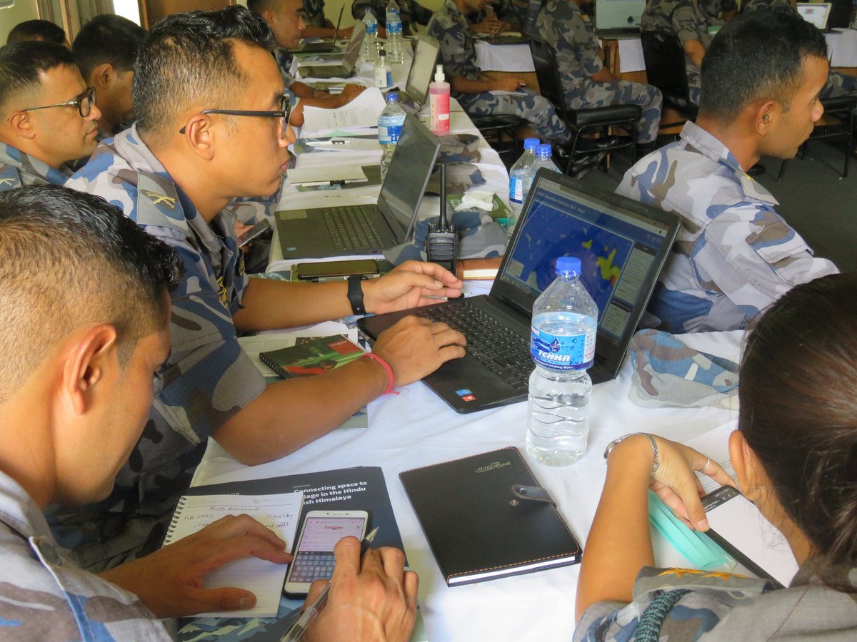
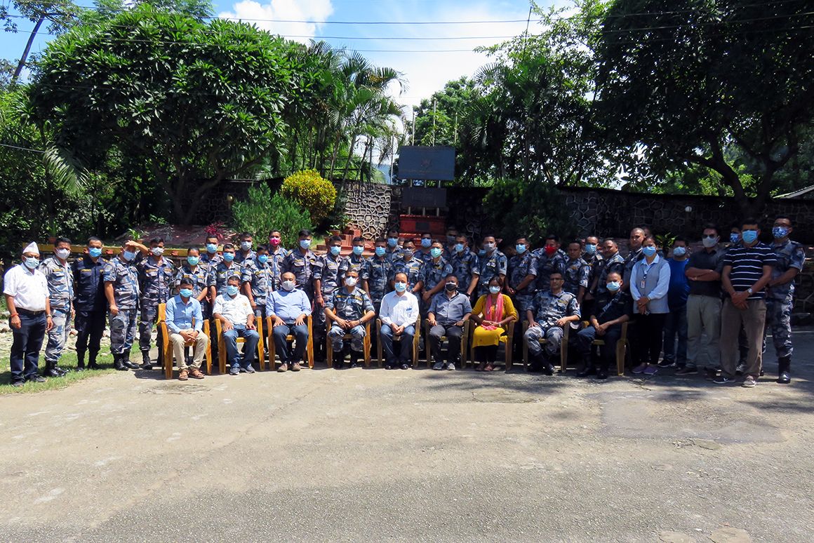
At the @APFNepalHQ Disaster Management Training School in Chitwan, Nepal, we've training 50 local stakeholders on the use of #EarthObservation & #GeospatialApplications for #DisasterPreparedness. 👉 j.mp/3yxkSTF #SERVIRHKH #Space2Village @SERVIRGlobal #ProtectThePulse


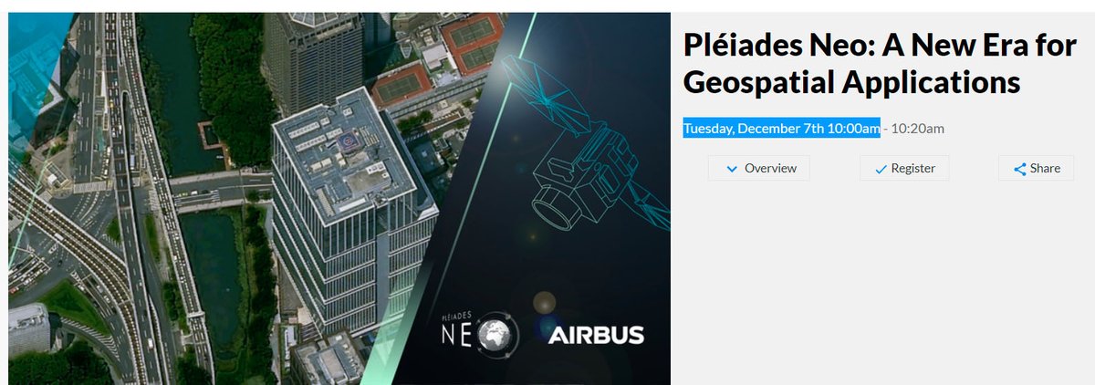
You have one day left to register! Join us for " #PléiadesNeo: A New Era for #GeospatialApplications" TOMORROW! Learn how to access a new source of 30cm #satelliteimagery. ow.ly/kAgf50H37hO

Geospatial Computing: Edge vs. Cloud - Making the Right Choice for Enhanced Insights! #EdgeComputing #CloudComputing #GeospatialApplications #RealTimeAnalysis #LowLatency #Geospatial #GIS linkedin.com/pulse/geospati…

Trimble and Kyivstar Partner to Provide GNSS Correction Services for Agriculture, Construction and Geospatial Applications in Ukraine Full Story: ow.ly/QM5u50PSs5g #AgriBusinessGlobal #GeospatialApplications #Ukraine

We are honored to be recognized by the @geoawesomeness community in its 2024 list of Top 100 Geospatial Companies. Satellogic is made up of #EarthObservation professionals committed to evolving the industry and supporting the advancement of #geospatialapplications worldwide.…

Our experts can script in #ArcGIS. Contact us for your next project! #geospatialapplications

📰 #ArcGIS Blog: Unlock the power of ArcGIS Business Analyst Web App Standard for ArcGIS Enterprise esri.com/arcgis-blog/pr… _ #Esri #GIS #Geospatial #MetaMapping
esri.com
Unlock the power of ArcGIS Business Analyst Web App Standard for ArcGIS Enterprise
Unlock the power of ArcGIS Business Analyst Web App Standard for ArcGIS Enterprise

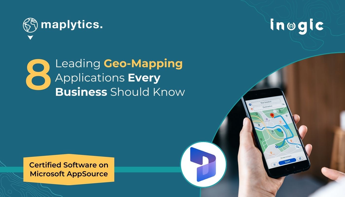
If location matters to your business — this list is for you. Top 8 geo-mapping solutions to transform planning and productivity. @Maplytics 🔗 maplytics.com/blog/8-leading… #LocationIntelligence #BusinessMapping #FieldProductivity #GeoAnalytics
Did you know your everyday apps quietly run on GIS? From accurate weather alerts to faster food deliveries and smooth navigation, GIS keeps everything running smarter and more efficiently. It’s one of the invisible tools that make your digital world work. #GIS #Geospatial…

AI-powered geospatial workflows (GeoAI) are opening new opportunities geoweeknews.com/sponsored/geoa…

Did you know? The open-source geospatial world is booming — and the OSGeo community has built some of the most powerful tools for maps, analysis, databases, and geoportals. 🗺️ Here’s a quick guide to four major categories of OSGeo tools that every geo-professional, student, or…

GeoAI: Artificial Intelligence for Geospatial Data GeoAI is a Python package that bridges AI and geospatial analysis, providing tools for processing, analysis, and visualization of spatial data using machine learning. It supports raster, vector, and point cloud formats and…


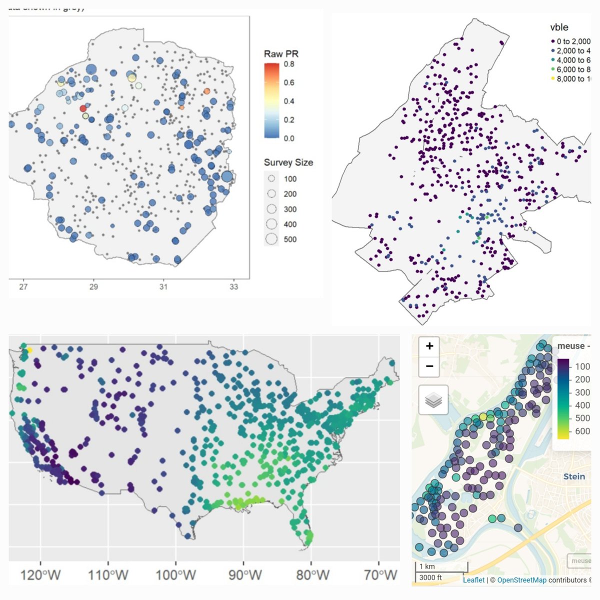
Spatial prediction methods for geostatistical data such as disease prevalence 🪰, precipitation 🌧️, contaminants 🏭, household prices 🏡 🔗paulamoraga.com/book-spatial/s… #rstats #rspatial #GISChat

You don't need to know programming or GIS to use geospatial data. Here are 4 resources to get you started:

One of the best use cases for geospatial data is examining environmental factors. Here's a list of my favourite geospatial environmental datasets:

One of the best use cases for geospatial data is examining environmental factors. Here's a list of my favourite geospatial environmental datasets:

One of the best use cases for geospatial data is examining environmental factors. Here's a list of my favourite geospatial environmental datasets:
You don't need to know programming or GIS to use geospatial data. Here are 3 resources to get you started:

We are honored to be recognized by the @geoawesomeness community in its 2024 list of Top 100 Geospatial Companies. Satellogic is made up of #EarthObservation professionals committed to evolving the industry and supporting the advancement of #geospatialapplications worldwide.…
You don't need to know programming or GIS to use geospatial data. Here are 3 resources to get you started:

Trimble and Kyivstar Partner to Provide GNSS Correction Services for Agriculture, Construction and Geospatial Applications in Ukraine Full Story: ow.ly/QM5u50PSs5g #AgriBusinessGlobal #GeospatialApplications #Ukraine
Geospatial Computing: Edge vs. Cloud - Making the Right Choice for Enhanced Insights! #EdgeComputing #CloudComputing #GeospatialApplications #RealTimeAnalysis #LowLatency #Geospatial #GIS linkedin.com/pulse/geospati…

geospatial v0.8.0 is out - A Python package for installing commonly used packages for geospatial analysis and data visualization with only one command mamba install -c conda-forge geospatial GitHub: github.com/opengeos/geosp… Docs: geospatial.gishub.org

Learn how we extract spectral, spatial, and texture attributes from #geospatial imagery to power different use cases of #geospatialapplications, including land use planning, #agriculture, national security, and disaster management. Read now: hubs.ly/Q01DtgHy0 #aiml

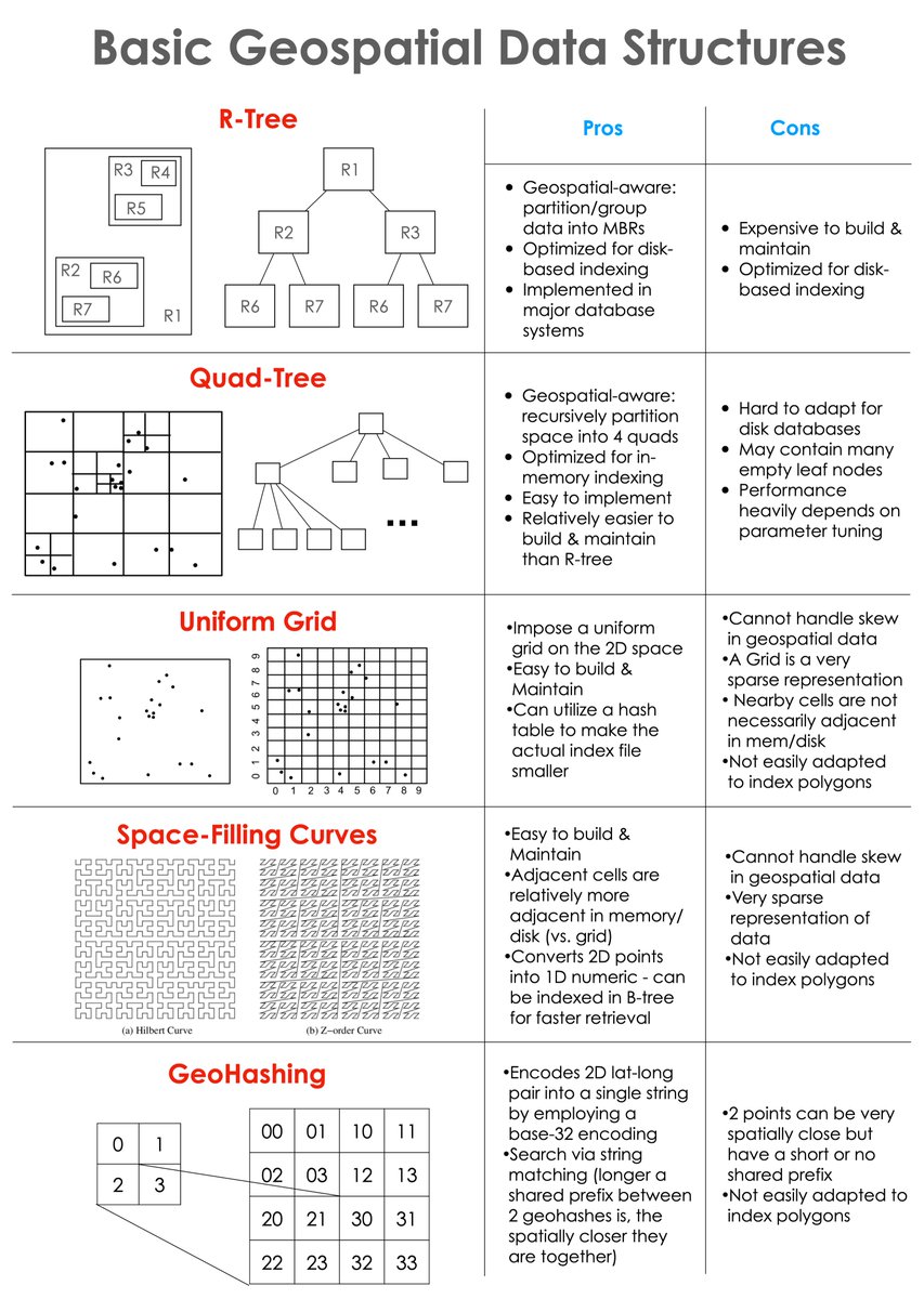
Prepped a cheat sheet for the basic geospatial data structures and the pros/cons of each. Most existing geospatial indexes / data partitioning methods stem from or build upon them. Hope you find it useful 👇🏽 #geospatial #DataAnalytics #Database #Indexes
Launch of the Geospatial Practices for Sustainable Development in South-East Asia 2022: A Compendium 🛰️ Happening now: youtube.com/watch?v=PD4vXW… #Space4SDGs #GeospatialApplications #UnitedNations
The Geospatial World Forum 2018 is under way and we are so excited to be here! Come on over and meet the team at booth 10-C to get an in-depth understanding of our UAVs and drone-based services! #GWF2018 #Geospatialapplications #UAVs #Hyderabad #India #Technology
🔗symp.ink/3Cmpakn – Do spatial indexing, polygon subdivision, and polygon simplification techniques capture your curiosity? If yes, this is the perfect article for you! #geospatialapplications #spatialindexing
At the @APFNepalHQ Disaster Management Training School in Chitwan, Nepal, we've training 50 local stakeholders on the use of #EarthObservation & #GeospatialApplications for #DisasterPreparedness. 👉 j.mp/3yxkSTF #SERVIRHKH #Space2Village @SERVIRGlobal #ProtectThePulse
You have one day left to register! Join us for " #PléiadesNeo: A New Era for #GeospatialApplications" TOMORROW! Learn how to access a new source of 30cm #satelliteimagery. ow.ly/kAgf50H37hO
Congratulations to @NYU_CUSP grad Sonam Bagul and #Tandon professor Debra Laefer who've won a NY State GIS award for their work in #geospatialapplications #NYUTandonMade
Launch of the Geospatial Practices for Sustainable Development in South-East Asia 2022: A Compendium 🛰️ Happening now: youtube.com/watch?v=PD4vXW… #Space4SDGs #GeospatialApplications #UnitedNations
Learn how we extract spectral, spatial, and texture attributes from #geospatial imagery to power different use cases of #geospatialapplications, including land use planning, #agriculture, national security, and disaster management. Read now: hubs.ly/Q01DtgHy0 #aiml
Something went wrong.
Something went wrong.
United States Trends
- 1. Kalani 5,569 posts
- 2. REAL ID 6,944 posts
- 3. Vanguard 12.1K posts
- 4. Milagro 29.7K posts
- 5. Penn State 8,830 posts
- 6. TOP CALL 11.9K posts
- 7. Cyber Monday 60.1K posts
- 8. Admiral Bradley 10.7K posts
- 9. MRIs 4,615 posts
- 10. Hartline 3,828 posts
- 11. #OTGala11 131K posts
- 12. Merry Christmas 50K posts
- 13. #GivingTuesday 4,077 posts
- 14. Jason Lee 2,353 posts
- 15. Shakur 8,353 posts
- 16. Jay Hill N/A
- 17. Brent 10.1K posts
- 18. MSTR 34.8K posts
- 19. #jimromeonx N/A
- 20. Tim Walz 318K posts