#arcgistutorial 검색 결과

Arcgis to Civil 3d | 3d Polyline work for Topographic Map #3dpolyline #featureline #arcgistutorial #fbreels #letsconnect #Topographic #surveyplan

𝗣𝗥𝗢𝗦𝗘𝗦 𝗠𝗘𝗡𝗚𝗜𝗠𝗣𝗢𝗥𝗧 𝗜𝗠𝗔𝗚𝗘𝗥𝗬 Saksikan video Tutorial Arcgis PRO : Part 2. Semoga video ini dapat memberi pembelajaran dan manfaat kepada kita semua dalam penggunaan ArcGIS PRO. Jangan lupa nantikan Part 3 untuk video seterusnya. #arcgispro #arcgistutorial

Tips to save yourself grief and increase the value of your data by consistently applying metadata to your data in #ArcGISPro. #BestPractices #ArcGISTutorial esri.com/about/newsroom…


Geocoding from the Scratch in ArcGIS Desktop Part 1. Build and Use the ... youtu.be/WjsEcHrl4BU #arcgistutorial #geocoding
Measure Building Height From Satellite Imagery Using ArcGIS Desktop youtu.be/dBwaBNorJns #arcgistutorial #gistutorial
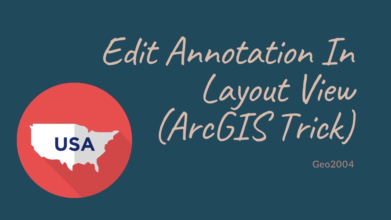
ArcGIS Trick. Edit Annotation From The Layout View youtu.be/tV6Nik36kIM #arcgis #esri #arcgistutorial #mapproduction
youtube.com
YouTube
ArcGIS Trick. Edit Annotation From The Layout View
Hotspot Analysis Pt.2 Measure Spatial Concentration and Occurence ( Emer... youtu.be/qctEaDwc11o #hotspotanalysis #arcgistutorial #arcgispro
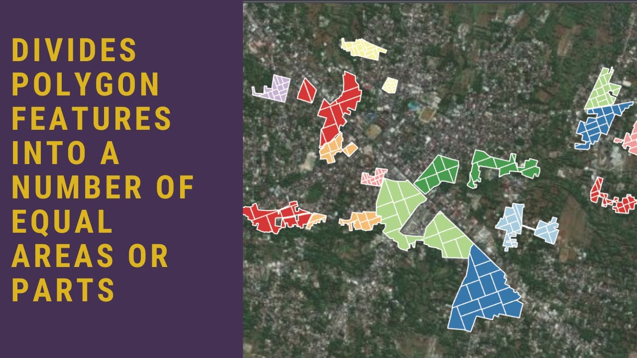
Divides Polygon Features into a Number of Equal Areas or Parts in ArcGIS... youtu.be/-0GubFbluhM?si… #arcgispro #gistutorial #arcgistutorial #mapping #geospatial
youtube.com
YouTube
Divides Polygon Features into a Number of Equal Areas or Parts in...
Integrate Supervised Classification and Visual Interpretation For Landco... youtu.be/SCyZALP0oZw #arcgis #arcgispro #arcgistutorial
Extract Geotagged Photo Coordinate Geolocation In ArcGIS youtu.be/jSIrh_7d5xI #geotagging #photocoordinates #arcgistutorial #arcgis #esri
Remote Sensing in Geology. Generates Mineralogy Sensitive Color Composite Imagery youtu.be/XLmYqKpxsTs via @YouTube #arcgis #gis #arcgistutorial #geology #minerales #mapping #remotesensing
Shapefile (SHP) or Geodatabase Feature Class to KML/KMZ Conversion in Arcgis youtu.be/pBLxTklTnr0 #gistutorial #arcgistutorial #googleearth
Accuracy Assesment of Image Classification in ArcGIS Pro ( Confusion Mat... youtu.be/-x1ipu5-7L8 #arcgispro #imageclassification #arcgistutorial
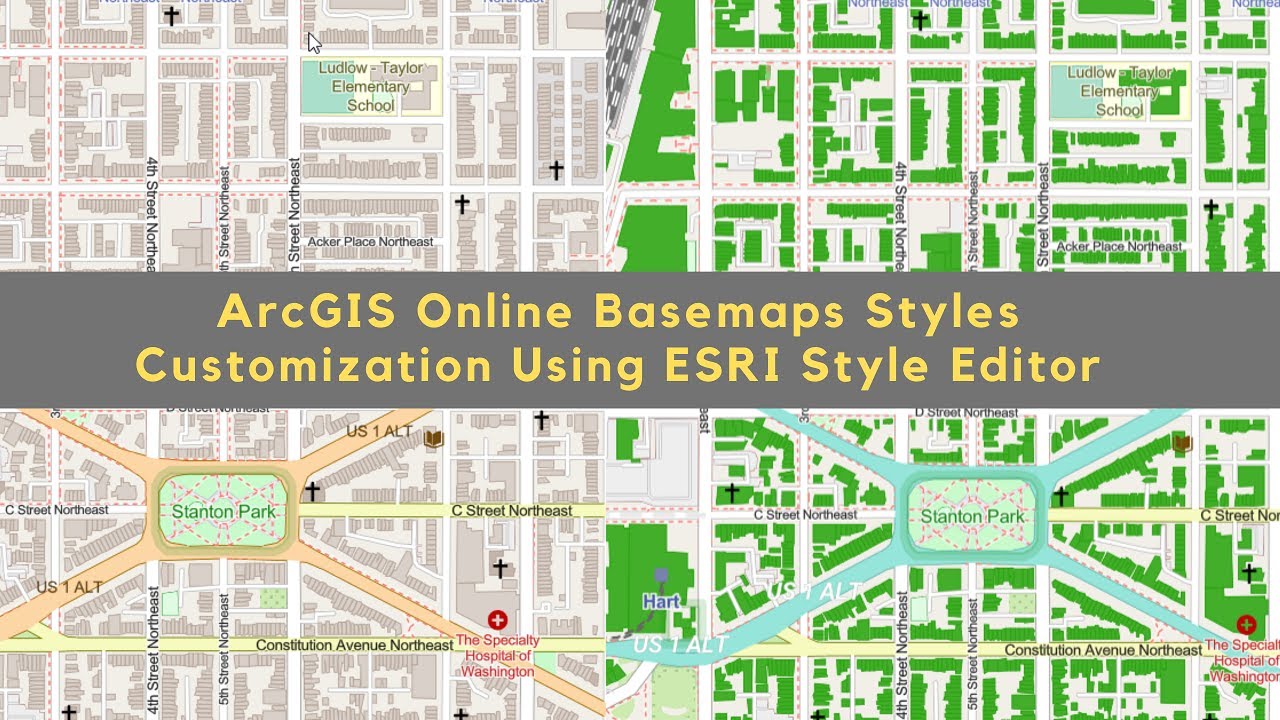
ArcGIS Online Basemaps Styles Customization Using ArcGIS Vector Tile Editor youtu.be/FhJnf3e51io #gistutorial #basemap #arcgistutorial
youtube.com
YouTube
ArcGIS Online Basemaps Styles Customization Using ArcGIS Vector Tile...

Esta vez compartimos unos pequeños "Tips and Tricks en @ArcGISPro", los cuales nos permitirán tener un flujo de trabajo má ágil. youtu.be/hYhQ7hG-eXM #arcgis #arcgispro #arcgistutorial #arcgisonline #arcgisapps #arcgisserver #esri #esritutorial #tipsandtricks
Extract Building Footprints from LIDAR or Photogrammetric Point Clouds Data Using ArcGIS Pro youtu.be/3Luo5-C5S4Y via @YouTube #arcgispro #arcgistutorial #gistutorial #urbanmapping #buildingfootprints #lidar #photogrammetry
Divides Polygon Features into a Number of Equal Areas or Parts in ArcGIS... youtu.be/-0GubFbluhM?si… #arcgispro #gistutorial #arcgistutorial #mapping #geospatial
youtube.com
YouTube
Divides Polygon Features into a Number of Equal Areas or Parts in...
𝗣𝗥𝗢𝗦𝗘𝗦 𝗠𝗘𝗡𝗚𝗜𝗠𝗣𝗢𝗥𝗧 𝗜𝗠𝗔𝗚𝗘𝗥𝗬 Saksikan video Tutorial Arcgis PRO : Part 2. Semoga video ini dapat memberi pembelajaran dan manfaat kepada kita semua dalam penggunaan ArcGIS PRO. Jangan lupa nantikan Part 3 untuk video seterusnya. #arcgispro #arcgistutorial
Arcgis to Civil 3d | 3d Polyline work for Topographic Map #3dpolyline #featureline #arcgistutorial #fbreels #letsconnect #Topographic #surveyplan
Remote Sensing in Geology. Generates Mineralogy Sensitive Color Composite Imagery youtu.be/XLmYqKpxsTs via @YouTube #arcgis #gis #arcgistutorial #geology #minerales #mapping #remotesensing
ArcGIS Online Basemaps Styles Customization Using ArcGIS Vector Tile Editor youtu.be/FhJnf3e51io #gistutorial #basemap #arcgistutorial
youtube.com
YouTube
ArcGIS Online Basemaps Styles Customization Using ArcGIS Vector Tile...
Esta vez compartimos unos pequeños "Tips and Tricks en @ArcGISPro", los cuales nos permitirán tener un flujo de trabajo má ágil. youtu.be/hYhQ7hG-eXM #arcgis #arcgispro #arcgistutorial #arcgisonline #arcgisapps #arcgisserver #esri #esritutorial #tipsandtricks
Integrate Supervised Classification and Visual Interpretation For Landco... youtu.be/SCyZALP0oZw #arcgis #arcgispro #arcgistutorial
Accuracy Assesment of Image Classification in ArcGIS Pro ( Confusion Mat... youtu.be/-x1ipu5-7L8 #arcgispro #imageclassification #arcgistutorial
Measure Building Height From Satellite Imagery Using ArcGIS Desktop youtu.be/dBwaBNorJns #arcgistutorial #gistutorial

[LIVE REPORT] ArcGIS Tutorial Intermediate 2016... For a better planner #arcGIStutorial #mudabermanfaat #hmplits #ITSSurabaya
![hmplITS's tweet image. [LIVE REPORT]
ArcGIS Tutorial Intermediate 2016...
For a better planner
#arcGIStutorial
#mudabermanfaat
#hmplits
#ITSSurabaya](https://pbs.twimg.com/media/CyPtzwpUAAA79FB.jpg)
![hmplITS's tweet image. [LIVE REPORT]
ArcGIS Tutorial Intermediate 2016...
For a better planner
#arcGIStutorial
#mudabermanfaat
#hmplits
#ITSSurabaya](https://pbs.twimg.com/media/CyPt23OUcAAB_k0.jpg)
![hmplITS's tweet image. [LIVE REPORT]
ArcGIS Tutorial Intermediate 2016...
For a better planner
#arcGIStutorial
#mudabermanfaat
#hmplits
#ITSSurabaya](https://pbs.twimg.com/media/CyPt6fPUkAA2k4N.jpg)
Tips to save yourself grief and increase the value of your data by consistently applying metadata to your data in #ArcGISPro. #BestPractices #ArcGISTutorial esri.com/about/newsroom…
Something went wrong.
Something went wrong.
United States Trends
- 1. Austin Reaves 40.6K posts
- 2. Steelers 83.9K posts
- 3. Packers 65.4K posts
- 4. Tomlin 12.2K posts
- 5. Tucker Kraft 15.2K posts
- 6. Jordan Love 16.2K posts
- 7. #GoPackGo 10.6K posts
- 8. Derry 18.9K posts
- 9. #LakeShow 3,630 posts
- 10. #BaddiesAfricaReunion 8,637 posts
- 11. Pretty P 3,701 posts
- 12. Aaron Rodgers 19.6K posts
- 13. #LaGranjaVIP 67.6K posts
- 14. Teryl Austin 2,138 posts
- 15. Dolly 12.1K posts
- 16. Zayne 18.8K posts
- 17. #HereWeGo 7,507 posts
- 18. Sabonis 2,399 posts
- 19. Karola 4,101 posts
- 20. Green Bay 10.9K posts