
내가 좋아할 만한 콘텐츠


Explore the patterns of COVID-19 cases across the UK, over the last 12 months. Created using dot density symbology to map PHE data and @ArcGISPro's handy animation tools🗺️ #COVID19 #cartography #gis

As summer temperatures increase, the ability to grow grapes and create wine is becoming a reality for more people. The big question is however, where? Explore our Story created with @ArcGISStoryMaps that asks that very question: ow.ly/Axoh50JxZQL
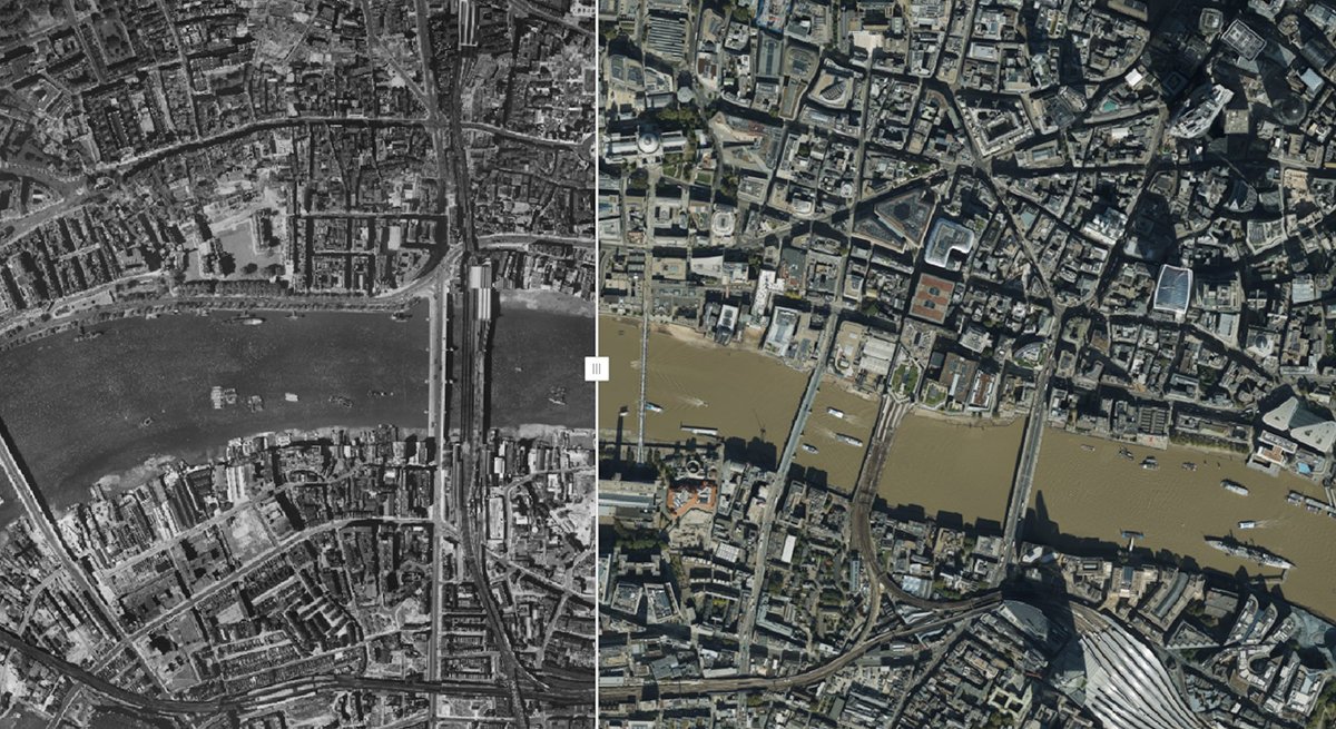
As we return from a weekend of Jubilee celebrations, Esri UK has a slice of history to share. We teamed up with @HistoricEngland and @Bluesky_int to explore how London has changed over the years using imagery data from 1948 to compare with modern London: ow.ly/lf7650JqEUP
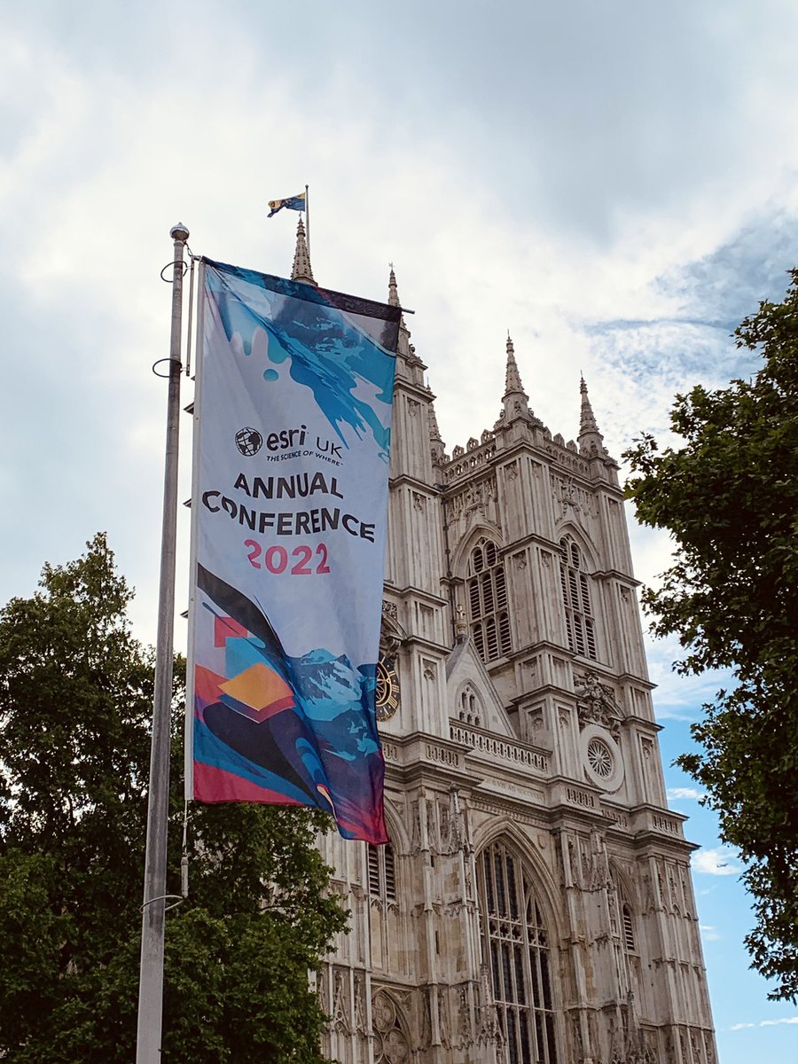
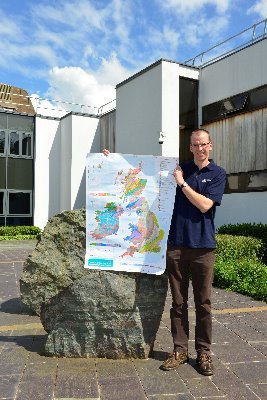
In person conferences are back! Come along to this years Esri UK AC, where I’ll be making exaggerated hand movements (as demonstrated below) in two sessions looking at Cartography and Storymaps 🗺 #EsriUKAC
Gain inspiration for your next #GIS project by joining Esri UK technical experts at #EsriUKAC. Learn about Esri’s different mobile apps, our favourite features in ArcGIS Pro and take a tour of the different #ArcGIS web apps and builders: ow.ly/KMHZ50IYQjs

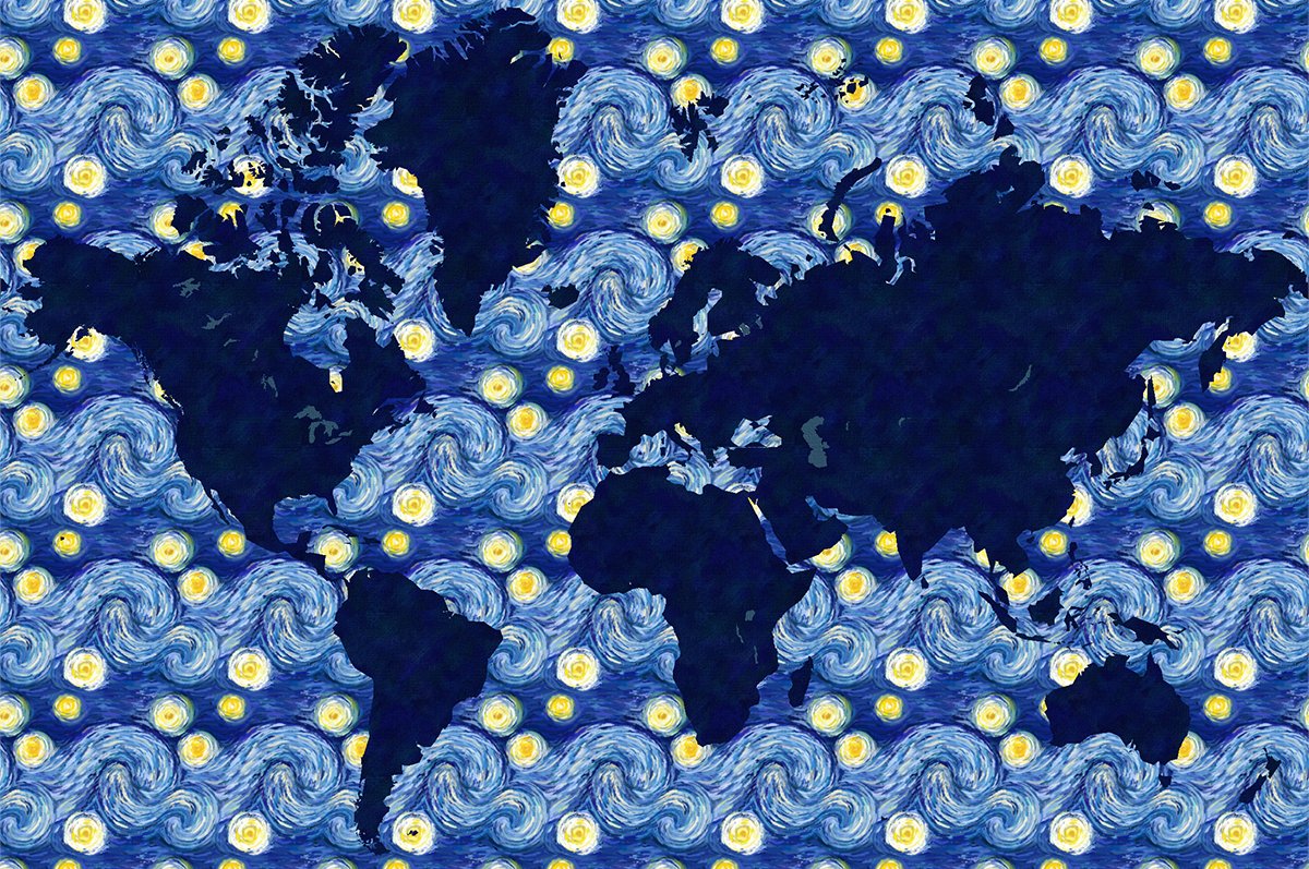
After recently celebrating Van Gogh's 169th birthday, we designed a 'Starry Night' inspired basemap within #ArcGIS Online to mark the occasion. Read about the process and access the basemap in this blog: ow.ly/2AYk50IUGt2
We created an animation to show the backlog from last years Suez Canal drama ⛴️🚫
A year ago today the Ever Given shipping container ran aground in the Suez Canal, capturing the news headlines. Using data from @aisdata, Esri UK have animated how the event unfolded and the backlog it caused.
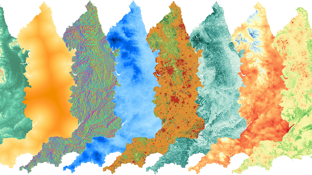
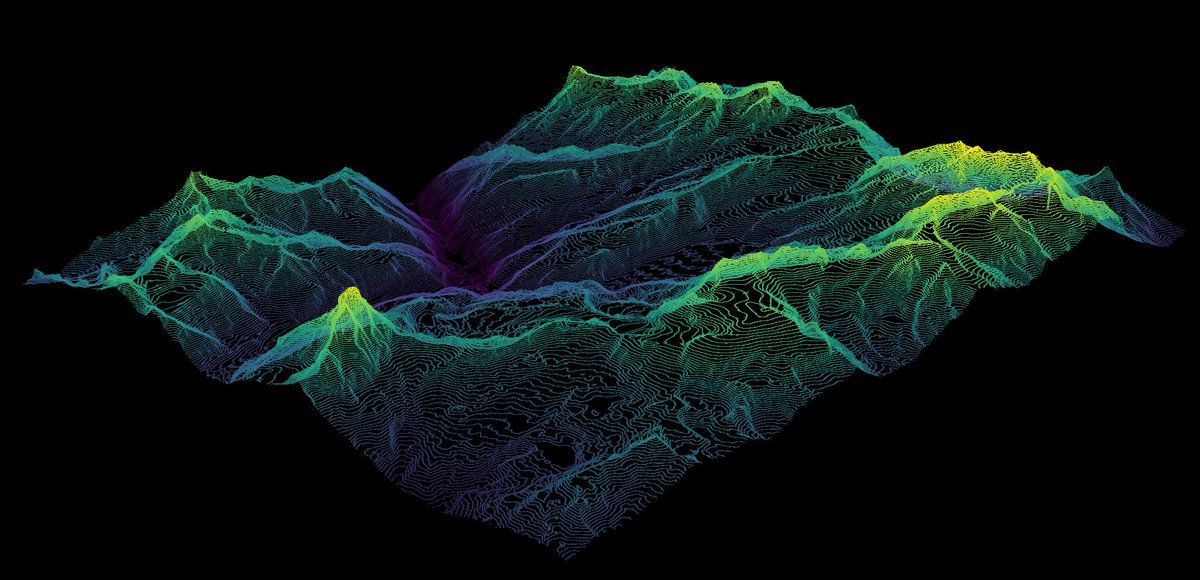
Contour lines have always been essential in a map-makers toolbox, for both paper and digital mapping. Taking this one step further, we explored using contour lines in #3D to map some European ski resorts. Follow us down the slopes of our cartographic run: ow.ly/py8X50IfViR
Our recent Snow App built using #ExperienceBuilder has been featured in the Guardian ❄️ theguardian.com/uk-news/2022/f…
theguardian.com
Weatherwatch: how much snow do you get in your area?
An interactive map shows the average number of snow days for locations across the UK
NEW PODCAST EPISODE! This conversation is a particularly fascinating one to understand the role that GIS plays in the climate emergency. Including some great insight from special guests @GIS4HE & @milesesriuk, excellently hosted by @ElleniRogers 🌍open.spotify.com/episode/5q6Vn8… #gis
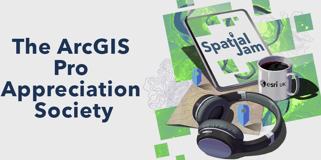
Do you want to discover top tips for a smoother Pro Experience? Join our latest episode of the Spatial Jam Podcast for a meeting of the ArcGIS Pro Appreciation Society, where you’ll learn hidden gems, favorite features and top tips. Listen Here ow.ly/HZc750Gu6m9
Excited to see that our Pavement Widths project has been nominated for the 'Health and Safety Software of the Year 2021' category at the Construction Computing Awards! Fingers crossed... 🤞
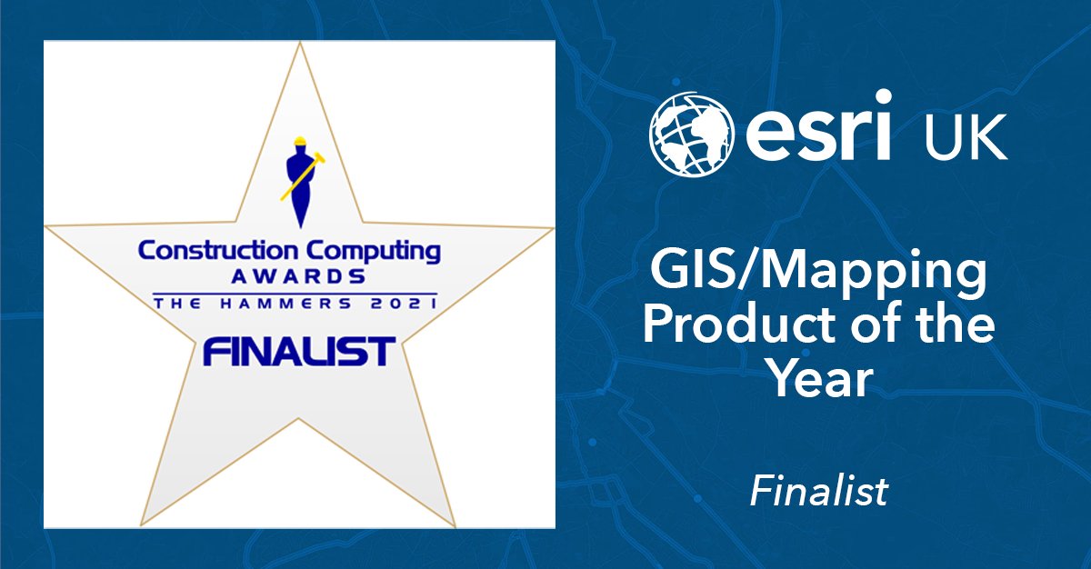
We are thrilled to have been shortlisted for GIS/Mapping Product of the Year for the Construction Computing Magazine Awards, alongside some of our fabulous client projects. Vote now to keep us in the running: ow.ly/LrXA50GnID3 #GIS @CCMagAndAwards
A NEW PODCAST is dropping next week (with a sneak peak trailer already live)! Have a listen to Alasdair, Elleni, Beth and I chat about GIS, cake and probably a lot of nonsense. Never thought I'd see a day where I was on Spotify... #SpatialJamPodcast @dvinchik @ElleniRogers
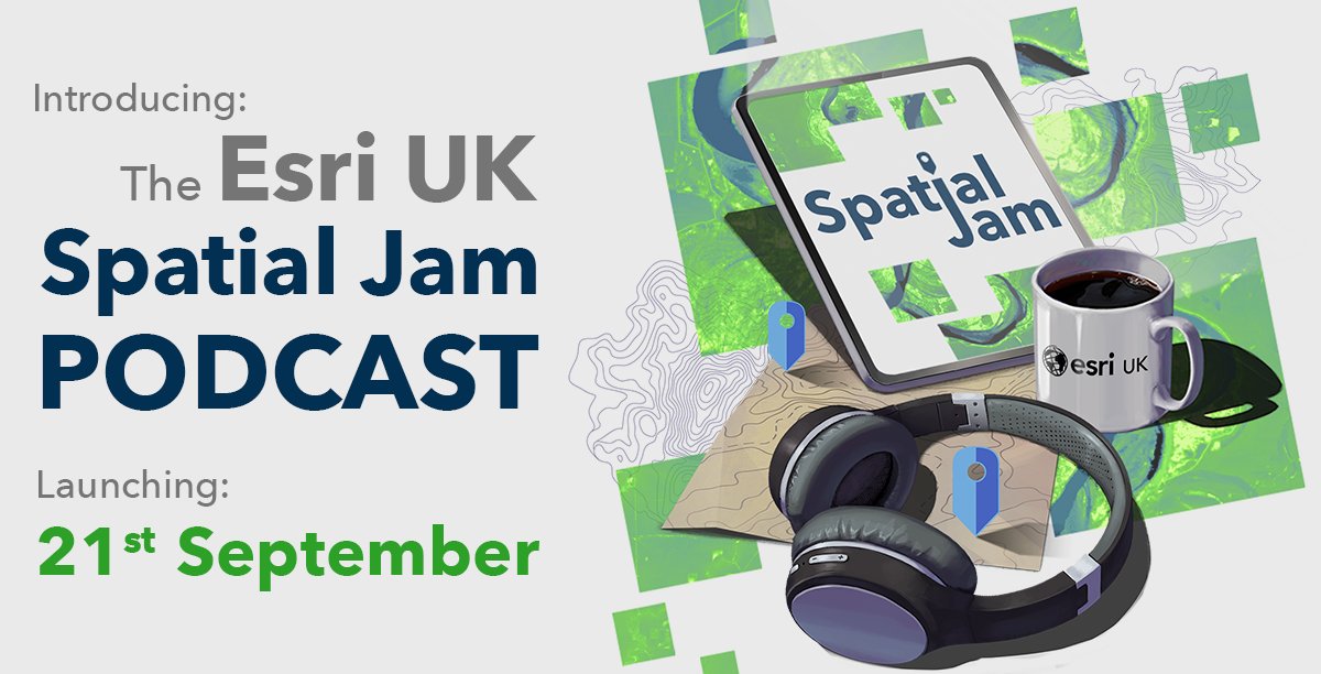
Us geospatial fans spend a lot of time talking about maps, spatial technology and all things in between. So we decided to hit record on some of our coffee chats and share them as the Spatial Jam podcast. Here’s a sneak peak: ow.ly/XRZI50G9H2Y #TheSpatialJamPodcast
Excited to be talking at the @bcsmaps GeoViz event next week! I'll be discussing how I made an animated COVID map and presenting alongside some fantastic map makers. Tickets here: eventbrite.co.uk/e/geoviz-show-…
eventbrite.co.uk
GeoViz: show and tell
Our first GeoViz event sees us welcoming a host of industry talent to share details of their work or personal projects.

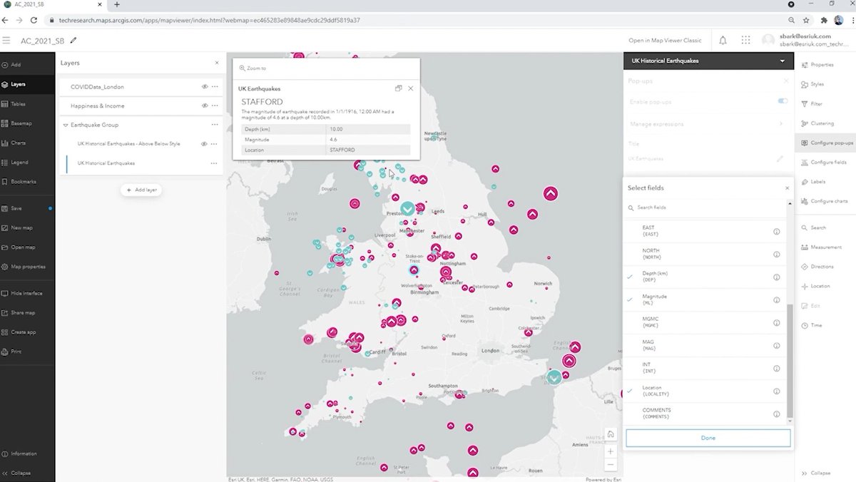
Above and Below, colour blind friendly, charts and blending in #ArcGISOnline new mapviewer demo'd by @barkmap - more info here - esri.com/arcgis-blog/pr…
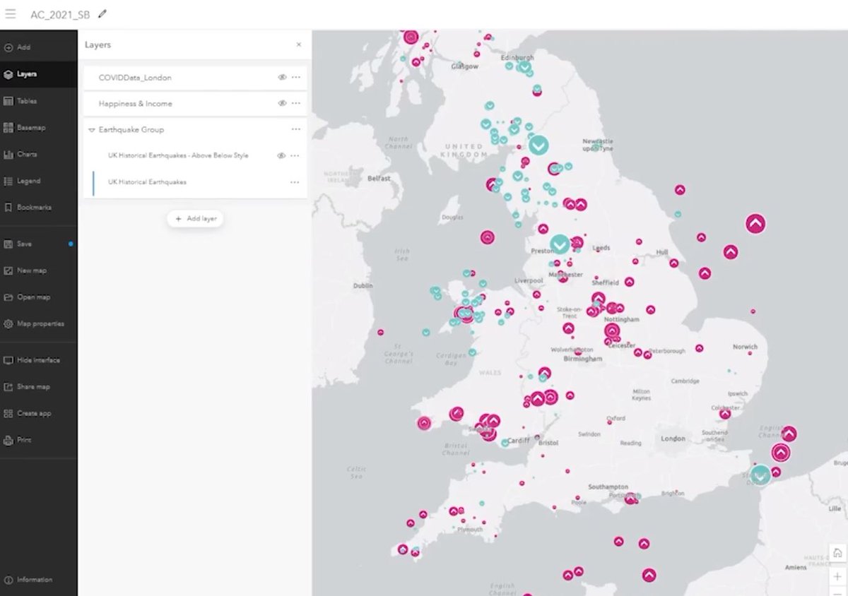

Nice demo from @barkmap at the Esri UK Annual Conference showing the new above and below Smart Mapping functions in the new Map Viewer. Plus the ability to easily choose colour blind friendly palettes #EsriUKAC #geographyteacher
In the garden explaining to next doors 3 year old that I make maps for my job and his response “ooohh right, just like a pirate”.. absolutely yes, I’m a GIS pirate 🏴☠️
What does the roadmap out of lockdown actually look like? Here's a map of London to show how the city will switch back on💡 #lockdown #RuleOfSix #gis @esriuk
Cool animation featured in the MEN, created by the @esriuk Media Maps team 🗺

Greater Manchester's roadmap out of lockdown revealed in new animation manchestereveningnews.co.uk/news/greater-m…
manchestereveningnews.co.uk
Greater Manchester's roadmap out of lockdown revealed in new animation - Manchester Evening News
Larger, outdoor meetings allowed in England from Monday - and hopefully 77 nightclubs to open on June 21
A Mail article just featured some of our festival analysis, asking how many people could socially distance at a festival (we're all hoping this is hypothetical and not reality🤞) dailymail.co.uk/news/article-9…
dailymail.co.uk
Reading and Leeds Festival is on, organisers confirm
Festival Republic said the double festival will take place at Little John's Farm in Reading and Bramham Park in Leeds over the August bank holiday weekend as planned.


United States 트렌드
- 1. Happy Thanksgiving 204K posts
- 2. #StrangerThings5 310K posts
- 3. Afghan 348K posts
- 4. #DareYouToDeath 180K posts
- 5. BYERS 72.1K posts
- 6. DYTD TRAILER 121K posts
- 7. robin 108K posts
- 8. Turkey Day 14.3K posts
- 9. Good Thursday 20.5K posts
- 10. Dustin 56.5K posts
- 11. Vecna 72.2K posts
- 12. Feliz Día de Acción de Gracias N/A
- 13. Taliban 45.5K posts
- 14. Reed Sheppard 7,353 posts
- 15. Holly 72.7K posts
- 16. Rahmanullah Lakanwal 136K posts
- 17. Jonathan 75.1K posts
- 18. Nancy 70.4K posts
- 19. noah schnapp 9,511 posts
- 20. Tini 11.5K posts
내가 좋아할 만한 콘텐츠

Something went wrong.
Something went wrong.