#geovisualization search results
📢#EditorsChoice Exploring Unconventional #3D #Geovisualization Methods for #Land Suitability Assessment: A Case Study of Jihlava City By Oldrich Bittner, Jakub Zejdlik, Jaroslav Burian and Vit Vozenilek 👉See the paper: mdpi.com/2220-9964/14/7…

Despite of weekend, so many people attended #OSGeo Korea technical workshop. No more seats are available. #GeoBigDataAnalysis #GeoVisualization


En el #DiaDelMaestro necesitamos cada vez más de sus buenas prácticas y de sus experiencias. Enhorabuena! #gesyp #geovisualization #agricultura #patrimonio
Web-based #geovisualization of ridesharing Pickups and Dropoffs: Evidence from Uber and Lyft in San Francisco. tncstoday.sfcta.org

#call4papers Special Issue "#Geovisualization and Geo Visual Knowledge Discovery“ edited by Boris Kovalerchuk and Eugene Levin, extended the submission deadline to 31 July 2021. Expect your contributions. mdpi.com/journal/ijgi/s…

Great #geovisualization of the spread of COVID across the US #neogeoweb coronavirus.jhu.edu/data/new-cases…


Thank you so much Hannah Pinkos and @CesiumJS for the great Cesium workshop! #geovisualization #3DVisualization #VirtualGlobe #WebGL #OpenSource

🌍🌎🌏 Even night tourism is looking like work 💟 @ Palazzo Vecchio @LabExDynamiTe #geovisualization #COGugaison #CARTElette #rstats


Today PhD defense of @MaximSpur The thesis examines how immersive environments can be utilized to effectively aid in visualizing this multilayered data simultaneously at various scales #UrbanData #Geovisualization #VirtualReality #ImmersiveAnalytics @CentraleNantes @ensaNantes1


#latestpaper 📢#RemoteSensing and #Geovisualization of #RockSlopes and #Landslides by Davide Donati, Doug Stead, Emre Onsel, Jesse Mysiorek and Omar Chang 👉Read the full article: mdpi.com/2072-4292/15/1…

Topological maps in times of shelter-in-place instagram.com/p/B94-FH4IBys/ #neogeoweb #geovisualization

📢The #issuecover of Volume 12, Issue 3 - "GeoGraphVis: A Knowledge Graph and #Geovisualization Empowered #Cyberinfrastructure to Support #Disaster Response and #HumanitarianAid" is online! 🔗full paper: mdpi.com/2220-9964/12/3… 👉issue: mdpi.com/2220-9964/12/3

📢#EditorsChoice Exploring Unconventional #3D #Geovisualization Methods for #Land Suitability Assessment: A Case Study of Jihlava City By Oldrich Bittner, Jakub Zejdlik, Jaroslav Burian and Vit Vozenilek 👉See the paper: mdpi.com/2220-9964/14/7…

Integrating psychology with cartography, this article explores how maps can transport readers into compelling stories by leveraging cognition, emotion, and imagery. Read more in Cartographica 60.2: bit.ly/CARTO602d @uoregon #Mapping #Storytelling #Geovisualization

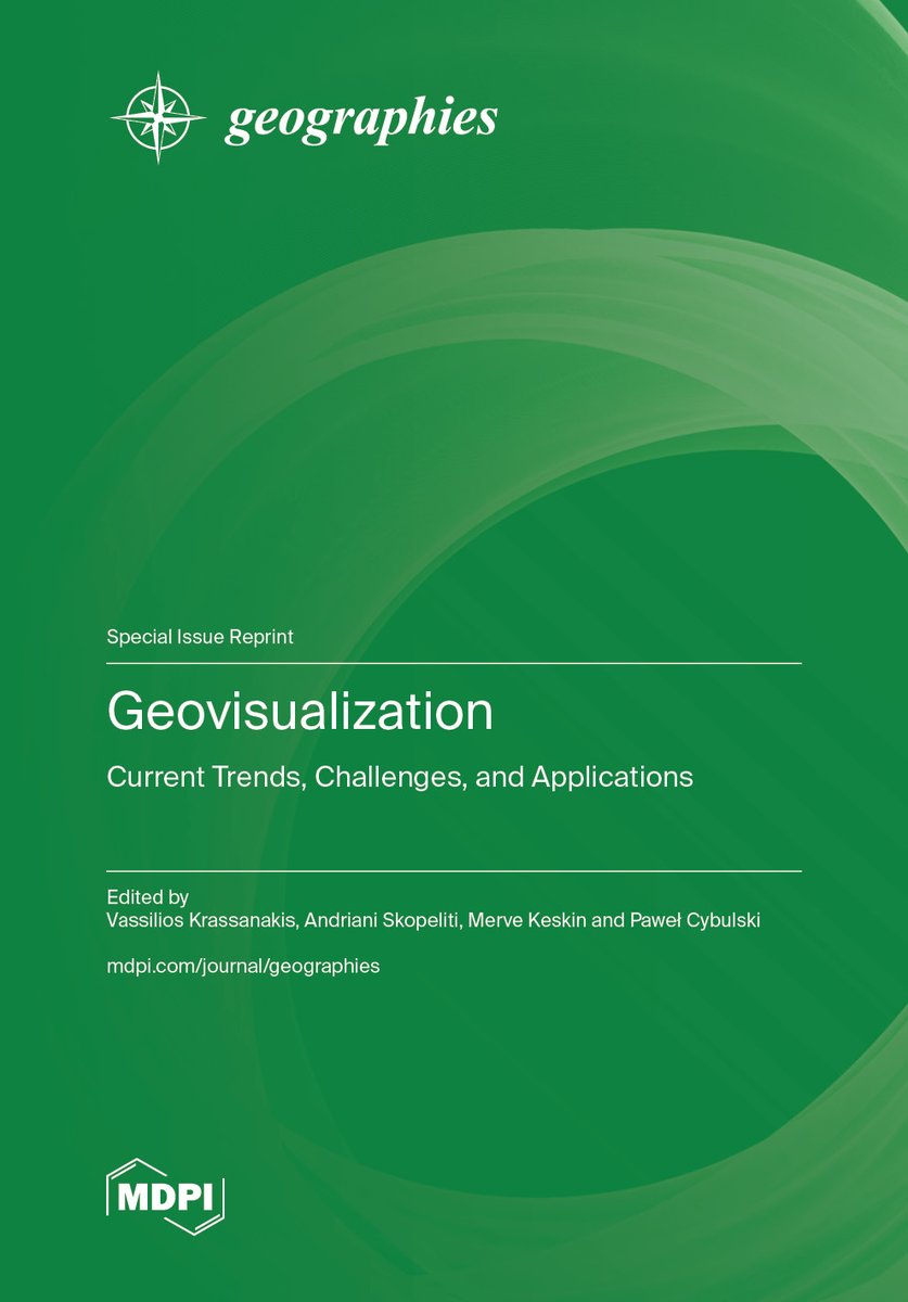
With over 45,000 views, this special issue published in @GeographiesMDPI explores current trends, challenges, and applications in the field of geovisualization. Read the @BooksMDPI reprint: brnw.ch/21wUn9T #MDPIBooks #Geography #Geovisualization

Despite ideological influence, underrepresentation of user study research limited Soviet cartography’s engagement with communication and geovisualization paradigms in contemporary #Russia. Read more: bit.ly/CART601a #Geovisualization #MappingTheory @OfficialUoM

📢 Don't Miss Our Special Issue Reprint: 📜Geovisualization: Current Trends, Challenges, and Applications ✍️ Edited by: Vassilios Krassanakis, Andriani Skopeliti, Merve Keskin and Paweł Cybulski #geovisualization Check it here: shorturl.at/qyhfW shorturl.at/U4IHc
TerraVision vs Google Earth #3DMapping #TechHistory #GeoVisualization #DigitalEarth #TheBillionDollarCode
pendant ce temps la : Sandro Bimonte, Mohamed El Ouati, Vivien Boudin, Nicolas Tricot, Un système de geovisualisation pour la surveillance des robots agricoles autonomes. SAGEO2025 @INRAE_Clermont #robotics #bigdata #geovisualization
🗻🇵🇱Usefulness of Plane-Based Augmented #Geovisualization—Case of “The Crown of Polish #Mountains #3D" ✍️by Łukasz Halik and Łukasz Wielebski 🔗mdpi.com/2220-9964/12/2…

📗Highly cited paper from 2023: GeoGraphVis: A Knowledge #Graph and #Geovisualization Empowered #Cyberinfrastructure to Support Disaster Response and Humanitarian Aid ✍️ by @WenwenLi_ et al. 🔗mdpi.com/2220-9964/12/3…

Saudi Arabia's Geospatial Market: Growth, Insights, and Key Trends for 2030 bloglovin.com/@aryan561/saud… #Geospatial #Geovisualization
3D data preparation done with #QGIS. Now unto #Blender visualization👍🏾🔥 #geovisualization #gis #geospatial

Day 4: 🗺️ Craft interactive maps with ease using Folium! Dive into the world of geospatial data visualization and effortlessly create dynamic web maps with Python. 🚀 #Folium #GeoVisualization

In #Geovisualization, today we will be looking at a couple recently published maps... @osuearthscience

Enjoyed learning the contrasts between processes involved in Maplex labelling and creating Annotation in #ArcMap and @ArcGISPro today... I can see the improvements... Looking forward to sharing the similarities and differences with my #Geovisualization Students tomorrow....

📢#EditorsChoice Exploring Unconventional #3D #Geovisualization Methods for #Land Suitability Assessment: A Case Study of Jihlava City By Oldrich Bittner, Jakub Zejdlik, Jaroslav Burian and Vit Vozenilek 👉See the paper: mdpi.com/2220-9964/14/7…

En el #DiaDelMaestro necesitamos cada vez más de sus buenas prácticas y de sus experiencias. Enhorabuena! #gesyp #geovisualization #agricultura #patrimonio

Les présentations des étudiants du @MGeomatique @UniversiteCergy continuent ce matin à #AAG2018 à @NOLA #geovisualization #GIS #geographers @VeilleCarto_UCP @Geomactif_Asso

Despite of weekend, so many people attended #OSGeo Korea technical workshop. No more seats are available. #GeoBigDataAnalysis #GeoVisualization


#latestpaper 📢#RemoteSensing and #Geovisualization of #RockSlopes and #Landslides by Davide Donati, Doug Stead, Emre Onsel, Jesse Mysiorek and Omar Chang 👉Read the full article: mdpi.com/2072-4292/15/1…

Something went wrong.
Something went wrong.
United States Trends
- 1. Good Thursday 26.6K posts
- 2. Happy Friday Eve N/A
- 3. #thursdayvibes 2,062 posts
- 4. #thursdaymotivation 1,279 posts
- 5. ESPN Bet N/A
- 6. #Talus_Labs N/A
- 7. #ThursdayThoughts 1,300 posts
- 8. Lakers 84.7K posts
- 9. #River 4,301 posts
- 10. Wemby 28.5K posts
- 11. Vatican 10.6K posts
- 12. Unplanned 6,237 posts
- 13. Grapefruit 1,469 posts
- 14. Marcus Smart 6,880 posts
- 15. Captain Kangaroo 1,262 posts
- 16. Blazers 9,860 posts
- 17. Russ 12K posts
- 18. Richard 45.3K posts
- 19. Shabbat 7,287 posts
- 20. Ayton 18.2K posts

