#terrain_map search results

Обновление конструктора Tuesday JS 27 #tuesday_js #js #terrain_map gcup.ru/news/obnovleni…
Обновление конструктора Tuesday JS 27 #tuesday_js #js #terrain_map gcup.ru/news/obnovleni…

#30DayMapChallenge Day 5: Raster This fun little voxel generator uses an elevation raster to derive height and an aerial raster to colour the voxels accordingly. Cell size is tweaked halfway through. #map #animation #3d


Trippy terrain of Lielais Liepukalns and Dzierkaļu kalns (289 and 286 m a.s.l.) in Latvia, made with ArcGIS Pro. Day 5, Earth #30DayMapChallenge #dataviz #arcgis #map #esri


#30DayMapChallenge Day 5 - Earth🌍, Map showing Shaded Relief Map of Earth in Orthographic form through Globe Builder Plugin , Data from @MtnMapper's Shaded Relief Archive website Link below #qgis #earth #data #globe #gischat


Topographic map of Germany showing soil texture. (proportions of sand, silt and clay sized particles) The map is made entirely in #RStats #rayshader #maps #cartography #soil


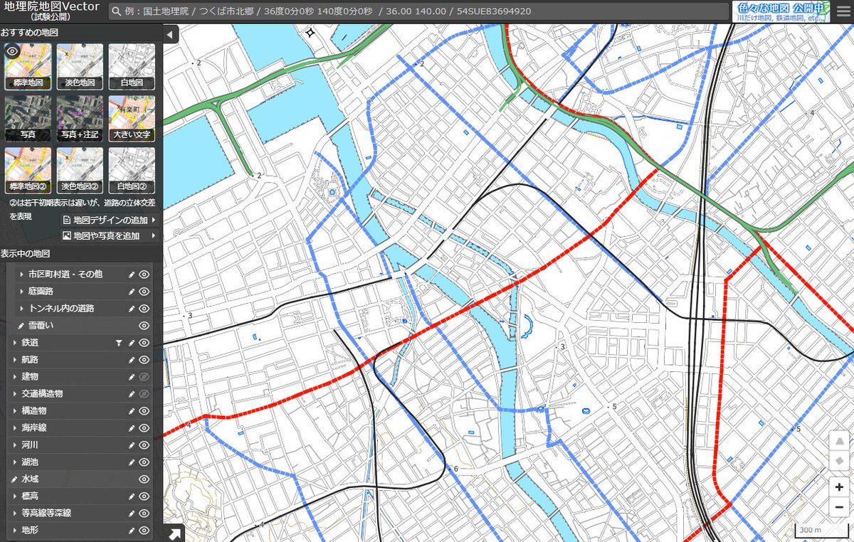
#意外にこれ知られてないんですけど 地理院地図Vectorっていうサイトがあって、国土地理院の地形図を白地図にしたり道路とか線路とか特定の要素だけ抜き出したりできてめっちゃ便利です。案内図作りたいけどGoogleマップだとごちゃごちゃしてて見づらい!ってときにおすすめ。 maps.gsi.go.jp/vector/#7/36.1…


More renders from different locations. Tested national remote sensing data have a resolution of 0.5–2 m per pixel, enough for intermediate-scale visualizations (an alternative to Google Map Tiles). #b3d #30DayMapChallenge Day 8 – Urban


This is Pic from Mars today.


I just uploaded a tiny GPU-based terrain processor designed to "prettify" DEM/satellite terrain, right inside of @unity3d! It can be used to refine and detail any terrain data, as well as remove shadows from satellite textures. Get it for free at github.com/Fewes/TerrainP… #gamedev

国土地理院の旧版地形図の「閲覧所で閲覧できる詳細な画像」の「オンライン閲覧」ができるようになっている。全く知らなかった。いつからだろう。 地図・空中写真閲覧サービスより。要申し込み。DL等不可。 mapps.gsi.go.jp/maplibSearch.d…


A little project I've been working on over the years. Plains: Mesa Verde National Park, CO Island: Kailua Beach, HI Mountain: Yosemite National Park, CA Forest: Redwood National Park, CA


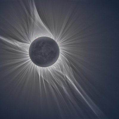
For those that need a visual, I give you the fjords and the alps.


Ive compiled a few HD renders of some maps for those who'd like copies! (More Pics Commented Under this Post)


A photograph of the Martian landscape sent back to us by Curiosity through millions of kilometers of space. NASA


Can you capture real hills in Hill Hunter GPS? 🏔️ hillhuntergps.top #mountains #nature #hiking #traveling #outdoor #senderismo #hikingadventures #locationbasedgame

Something went wrong.
Something went wrong.
United States Trends
- 1. Sunderland 85.3K posts
- 2. Texas Tech 9,600 posts
- 3. St. John 4,920 posts
- 4. Merino 9,191 posts
- 5. #iufb 1,072 posts
- 6. Mendoza 8,118 posts
- 7. Obamacare 173K posts
- 8. Verstappen 22.7K posts
- 9. Letang N/A
- 10. #GoDawgs 2,919 posts
- 11. Mississippi State 3,729 posts
- 12. #SUNARS 6,286 posts
- 13. Elyiss Williams N/A
- 14. Shapen N/A
- 15. Xhaka 7,891 posts
- 16. Philon N/A
- 17. #SaturdayVibes 5,780 posts
- 18. Lawson Luckie N/A
- 19. #BYUFOOTBALL N/A
- 20. Oscar Delp N/A