
Geomni Aerial Imagery
@GeomniMapPros
Geomni- Imagery and data for mapping professionals. #GIS #geospatial #lidar #mapping .
Tal vez te guste


Come visit our booth @GITAssociation Pipeline Technology FORUM in #Houston TX. Let's talk about the data that you need to make your project a success! We specialize in airborne imagery and data acquisition, warehousing & licensing. #lidar #aerialphotography #gis #mapping🗺️📸🛩️

Come visit us at our table @GITAssociation . Let's talk about what our huge #aerialimagery database can do for your project! #lidar😃

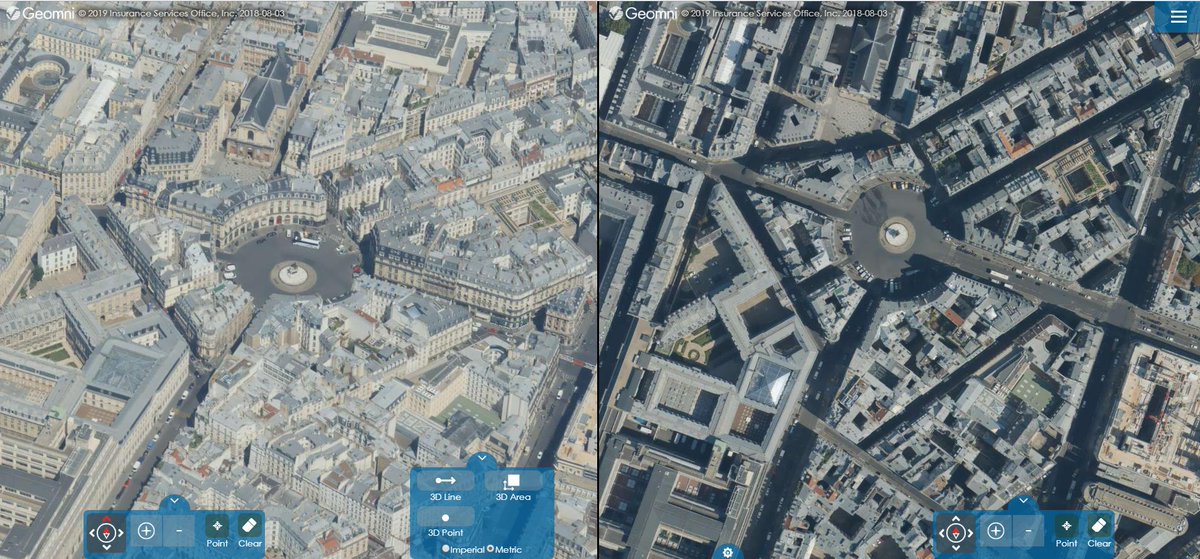
We have multiple state of the art sensors operating in Europe. They are capturing imagery to use with our award-winning #geospatial data & analytical solutions. #aerialphotography #aerialsurvey #data #Geomni #Midas #camera
Love to see data in action!

Our #3DImageofTheWeek is a 3D flight simulation - DFW 35C touch & go. Imagery provided by @GeomniMapPros. Simulation created using #TerraExplorer. #Skyline

One of the best things I heard at @URISA #GISPro2019: "I love how the members support and empower each other and how the women in URISA I've met build each other up." URISA offers such a wonderful environment to learn, grow, and succeed!! #GIS #Geomatics #GetInvolved @URISAVC

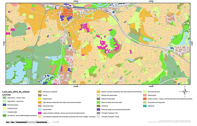
#Reminder - we'll be running a #webinar 12th November - "Understanding Urban Environments". A detailed understanding of both built & natural environments are critical to #city #planning and improving the health and well being of citizens. Register here bit.ly/2MTKgP7
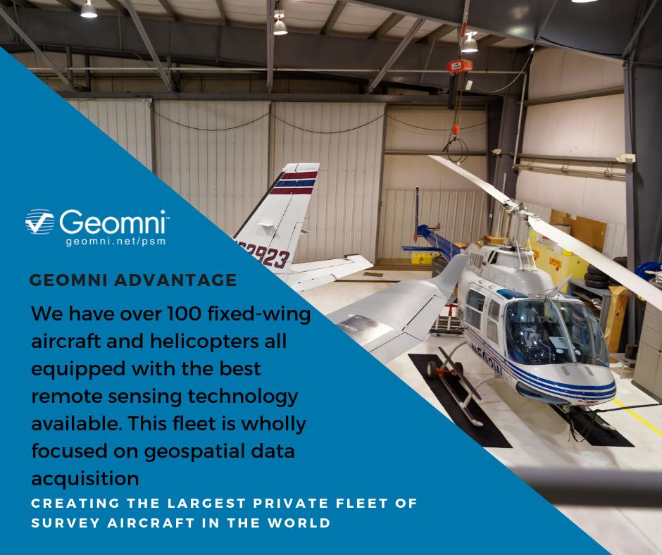
🛩️Experience the Geomni Advantage. We have over 100 fixed-wing aircraft and helicopters all equipped with the best remote sensing technology available. 😎Claim your free sample data set here: bit.ly/geomnimap #geospatial #geospatialdata #gis #lidar #aerialdata #mapping
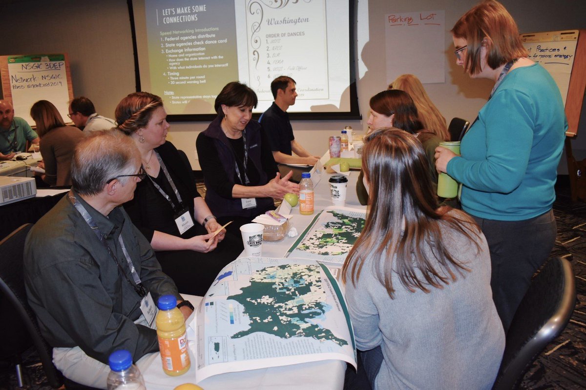
Clear conversations save time and money!

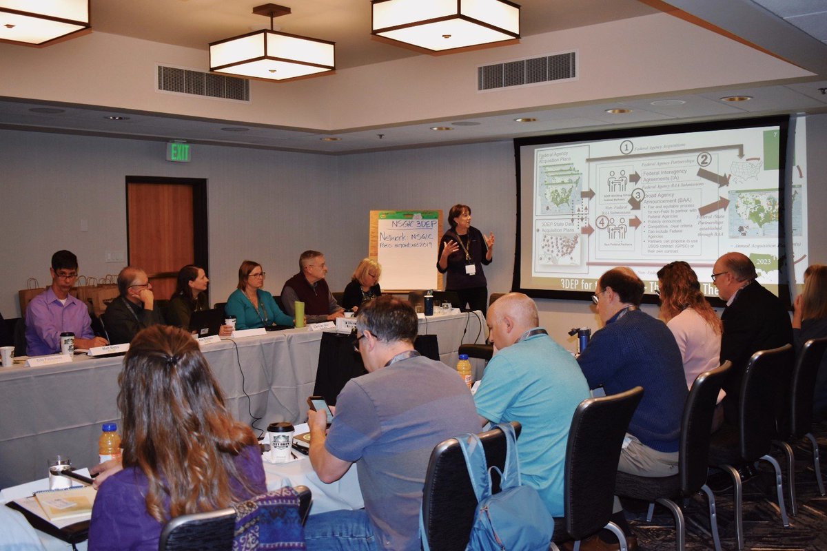
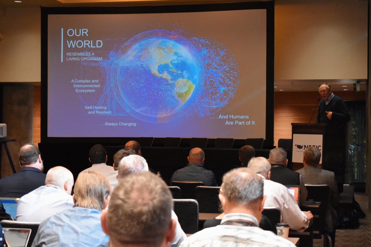

Incredible to hear from over 40 states about their successes, challenges, and goals at the #RollCallofStates. There's a ton of #data and #GIS progress being made. #NSGIC19

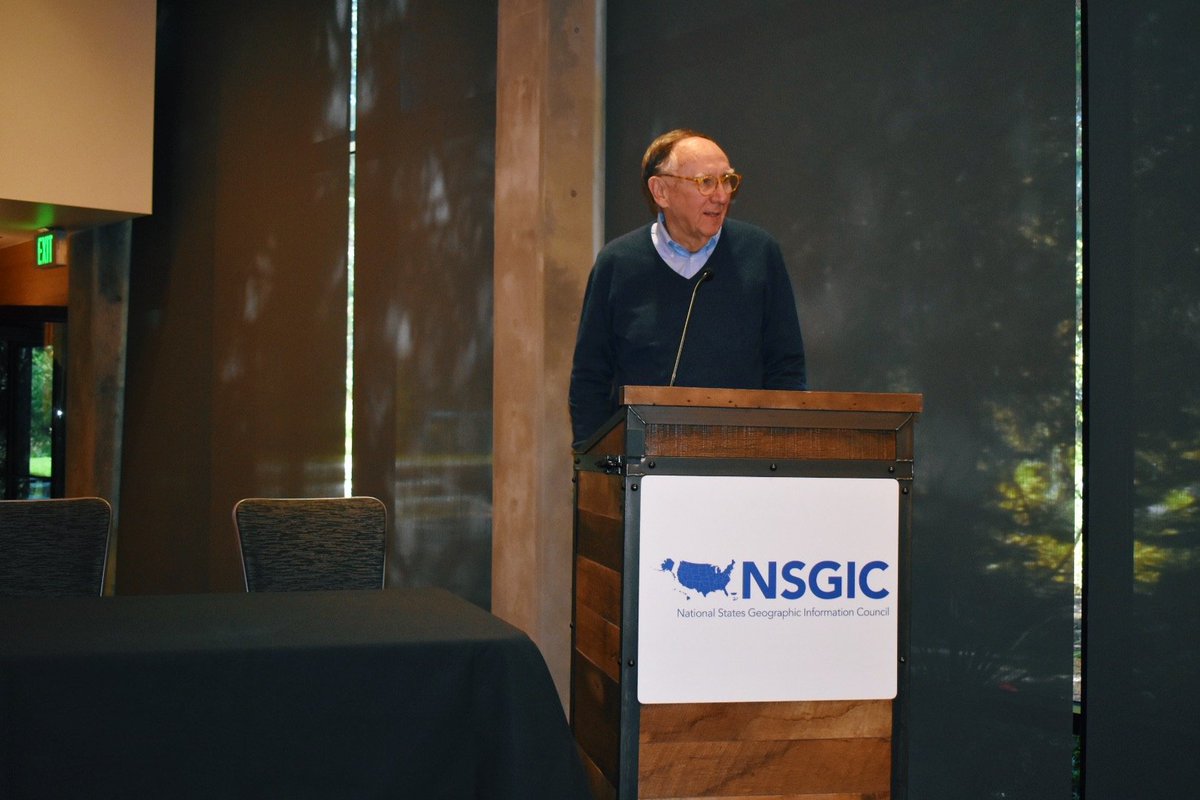
Cy Smith, GIO for Oregon, reports out on our work with #gis and #EM for @OregonOEM at the #RollCallOfStates at #NSGIC19! @EsriDRP @EsriSLGov @ArcGISStoryMaps @GISPublicSafety #EMGTwitter
How you feel about your project when you harness the power of one of the largest geospatial companies in the United States🛩️😍 #WellnessWednesday #GeomniPSM #LiDAR #geospatial #Photogrammetry #Surveying #mapping
The #Geomni Viewer is our online portal and accessible web mapping service. It makes accessing your #aerialphotography #aerialsurveys really easy. Just login into our cloud hosted service. #GIS #geospatial #BigData

The #RCAT #TexasRoofingConference is only 1 day away. Come say hello to Geomni at booth #126 and we'll show you some of the ways you can get fast roof measurements. #roofing #construction #contractors #texas
Today is the 18th anniversary of the 9/11 attacks. Geomni honors those brave souls who lost their lives that day. #Honor911 #NeverForget

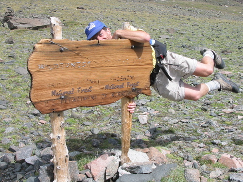
The holiday weekend is coming up fast! What kind of exploring adventures are you planning? #FeelGoodFriday #GoGeomni
🛩️Creative architecture and execution. Check out our view of the Ray and Maria Stata Center #MIT designed by #FrankGehry⠀⠀⠀ 👍Free Samples and trial software here bit.ly/geomnimap #geospatial #gis #lidar #aerialdata #mapping #3Ddata #urbanplanning #aerialphotography

Ultimate #TBT

A (very) brief history of plate tectonics. Watch the continents take shape here: p.ctx.ly/r/9jf9 #gis #geography


United States Tendencias
- 1. Halo 109K posts
- 2. $BIEBER N/A
- 3. PlayStation 50.5K posts
- 4. Xbox 65.5K posts
- 5. #CashAppPools 1,593 posts
- 6. #HitTheBuds 2,074 posts
- 7. #WorldSeries 49.7K posts
- 8. Canada 464K posts
- 9. Reagan 221K posts
- 10. Combat Evolved 4,466 posts
- 11. Megan 71K posts
- 12. Ashley 157K posts
- 13. #CostumeInADash N/A
- 14. West Ham 21.4K posts
- 15. Tish 18.2K posts
- 16. Klemmer N/A
- 17. Master Chief 6,018 posts
- 18. Lukas Reichel 1,545 posts
- 19. Kensington 5,717 posts
- 20. #JonatanImperioDeMentiras 2,692 posts


Something went wrong.
Something went wrong.