
Geospatial Primetech
@Geospatialprime
Geomatics, GIS and RS | The future is #geospatial
You might like


A beginner's guide to anyone wanting to begin working with Google earth engine #gee #remotesensing #GIS #gischat .All now under the Google earth engine playlist on the Geospatial primetech channel! Subscribe and share. Let us learn together! youtube.com/channel/UCisEE…

Dear Data Analyst/Scientist. Read these books and you'll be miles ahead in your Data journey. To get it: 1. Follow me (so I can DM you) 2. Like and retweet 3. Reply with "Data"


Introducing GeoPropertyHub – Your Smart Real Estate Companion! #gischat -Find properties with precision using geospatial tech -Interactive maps & data visualization -Streamlined property management with role-based access geopropertyhub-frontend.vercel.app


📝 Introducing the new QGIS Plugins Website and QGIS Hub🚀 Our latest blog article dives into the newly updated QGIS Plugins Website and the launch of the QGIS Hub! Read more: kartoza.com/blog/qgis/intr… #kartoza #QGIS #GIS #opensource #blog


🌳🌲🌳 Upscaling #Forest #Canopy Height Estimation Using Waveform-Calibrated GEDI Spaceborne #LiDAR and #Sentinel2 Data ✍️ Junjie Wang et al. 🔗 brnw.ch/21wR96x


Top 3 Geospatial File Formats Of 2025: 1).shp 2).dbf 3).prj
🛰️🌎🛰️ Fast Fusion of #Sentinel2 and #Sentinel3 Time Series over #Rangelands ✍️ Paul Senty et al. 🔗 brnw.ch/21wR7ID


We’re getting closer to the Esri Federal GIS Conference! Join Kevin Mabey and Shannon Haggerty as we discuss how trusted data, intuitive mapping, and location intelligence are driving smarter decision-making across sectors. Explore our solutions➡️ hubs.la/Q036DVJJ0

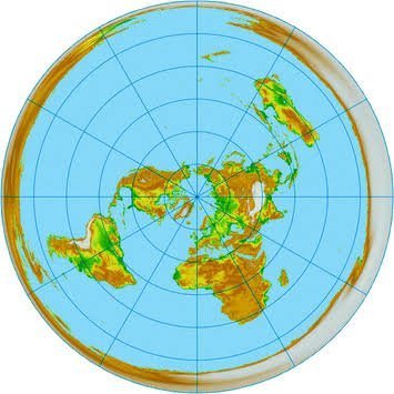
Thread of hilarious maps you've (probably) never seen before 🧵 1. World map according to fish
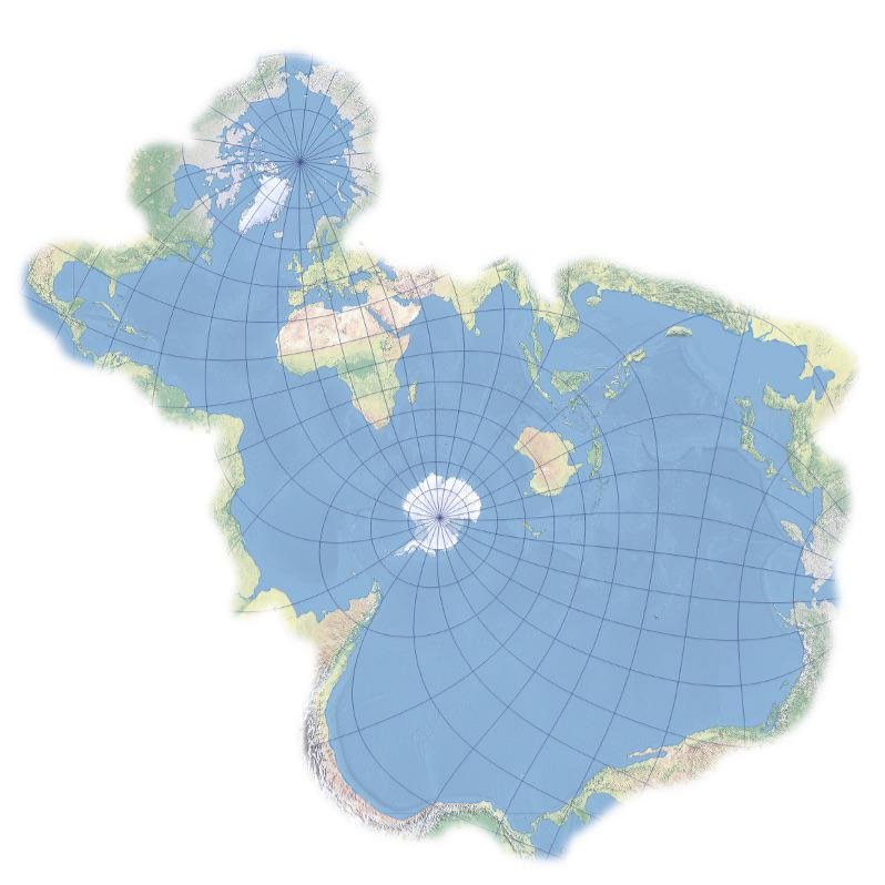

Ever thought about viewing the world differently..? This thread on cool maps is here to blow your mind 1. All roads lead to Rome

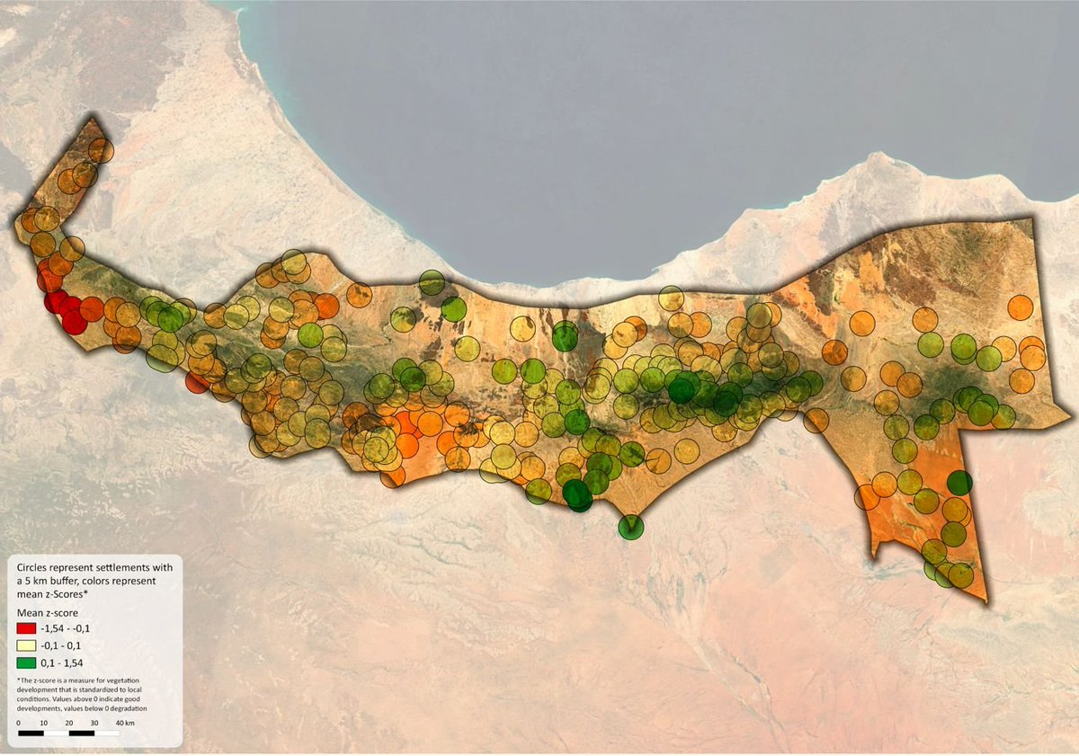
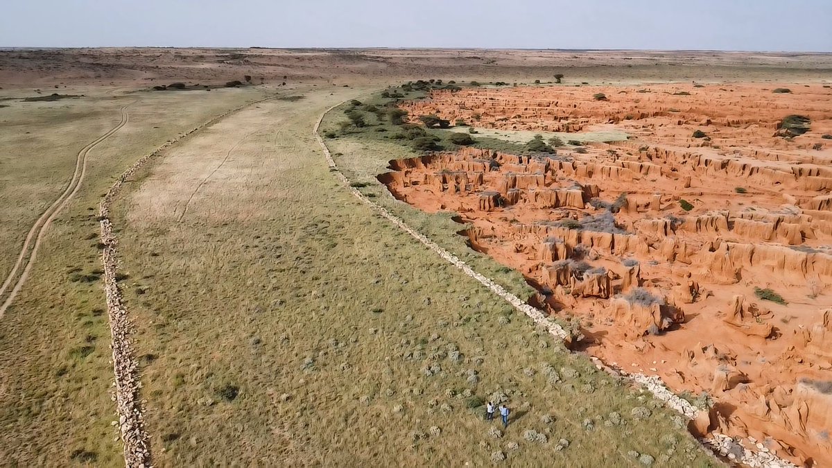
Some Somali nomads may know how to deal with drought A recent @UNDP study reveals why some Somali pastoralists are more resilient than others More:undp.org/somalia/blog/d…
🌍 Geocoding Unlocked Skip Cody, Product Manager, APIs & Developer Experience at LightBox, highlights the critical role #geocoding plays in property data management and how @LightBoxRE sets the standard for accuracy and innovation. ➡️ Learn more: info.lightboxre.com/l/330311/2024-…
Transferability of Covariates to Predict #Soil Organic #Carbon in #Cropland Soils ✍️by Tom Broeg et al. 🔗Full paper: brnw.ch/21wN63d


Honestly, I think if you're a Geospatial professional, I'll advise that GEE is a must. Especially for those that usually work with large areas. It really simplifies your job & makes you very effective. YouTube and the documentation are your best bet if you want to learn. #GIS

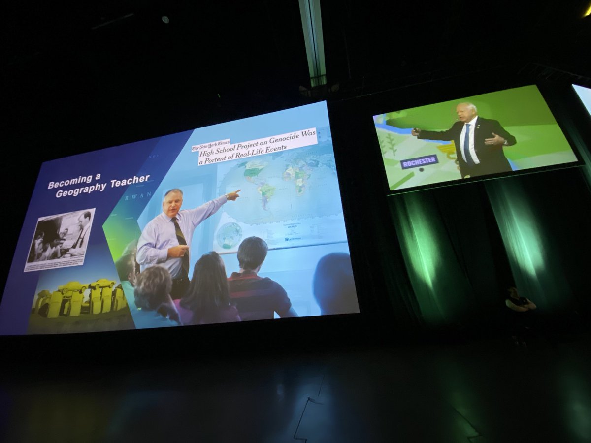
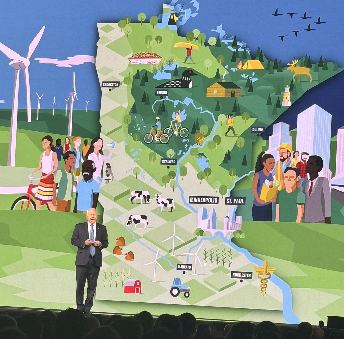
Proudly a Geographer, Governor Walz @GovTimWalz, a Geography teacher at one time addressing GIS community on the power of #gis 'doings' to make a better world 🌎, people powered by utilizing Geospatial technology. @Esri @EsriUC #Esriuc2024
🌽Detection and Counting of Corn Plants in the Presence of Weeds with Convolutional Neural Networks by Canek Mota-Delfin, et al. ➡️ mdpi.com/1860582

🔥 #hottopic A Low-Altitude Remote Sensing Inspection Method on Rural Living Environments Based on a Modified YOLOv5s-ViT by Chunshan Wang, et al. ➡️mdpi.com/1848860


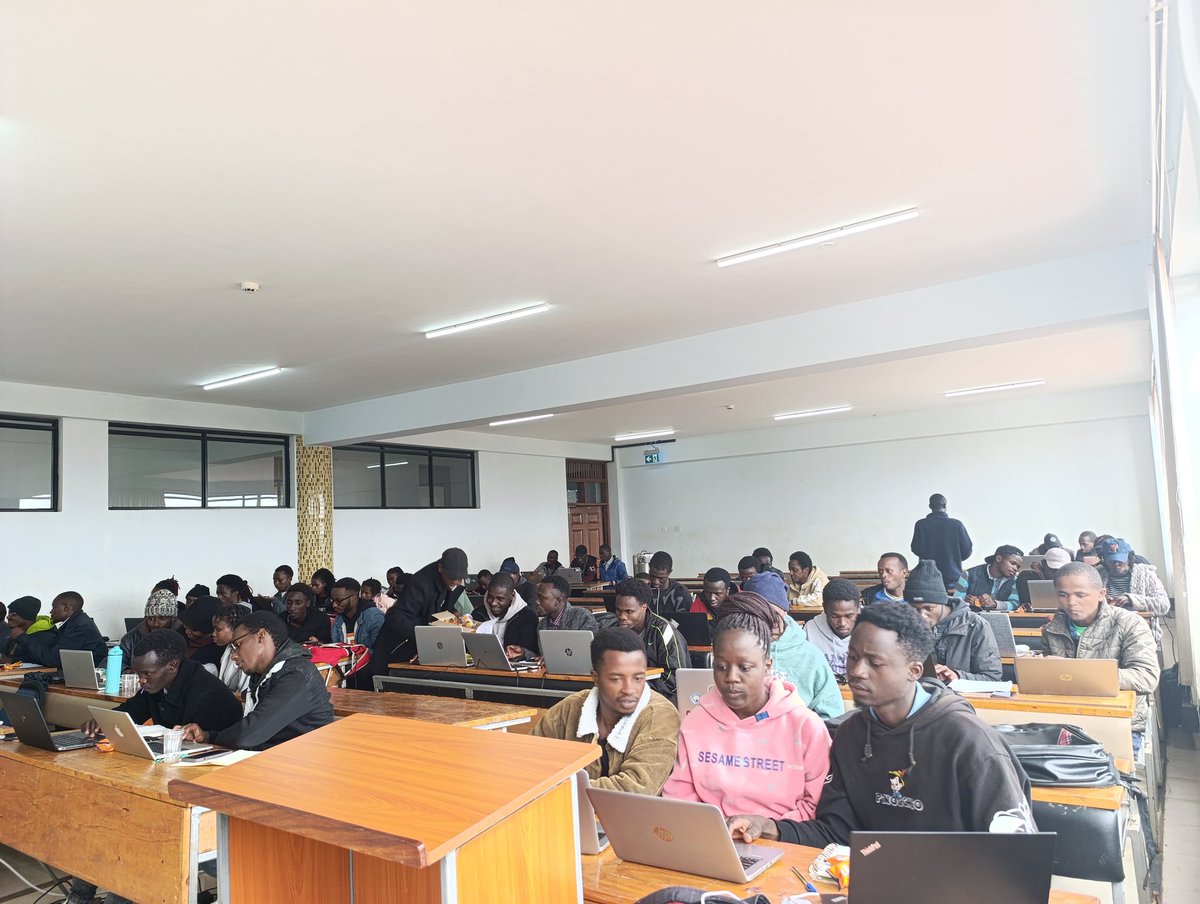
Spend my day today with @youthmappers in @GeospatialDev_ club.I introduced them to #OSM Team, And mapping using #ID editor.We held a mapathon where we mapped #Nyeri town . We also played kahoot!😄 #YouthMappers #geospatial


✅Identify emerging hot spots ✅Explain why spatial trends occur ✅Predict how patterns will change Learn how to do all of the above (and more!) in our 3-day Spatial Analysis with ArcGIS Pro course: esri.social/UnaC50SpzjP @ArcGISPro #SpatialAnalysis #ArcGISPro


Two new Level 3 global TROPOspheric Monitoring Instrument (TROPOMI) Nitrogen dioxide (NO2) data products (from 2019-present) are available at NASA's #GESDISC. These data are from NASA's Health and Air Quality Applied Science Team (HAQAST) project. go.nasa.gov/3RHDHQw


United States Trends
- 1. #GMMTV2026 912K posts
- 2. MILKLOVE BORN TO SHINE 168K posts
- 3. Good Tuesday 21.6K posts
- 4. #WWERaw 77.8K posts
- 5. TOP CALL 9,275 posts
- 6. AI Alert 8,071 posts
- 7. Moe Odum N/A
- 8. Brock 41.9K posts
- 9. Purdy 28.5K posts
- 10. Barcelona 143K posts
- 11. Check Analyze 2,410 posts
- 12. Bryce 21.3K posts
- 13. Token Signal 8,547 posts
- 14. Keegan Murray 1,555 posts
- 15. Alan Dershowitz 2,797 posts
- 16. Market Focus 4,627 posts
- 17. Dialyn 7,934 posts
- 18. Timberwolves 3,925 posts
- 19. Finch 14.7K posts
- 20. The Quickest 3,097 posts


Something went wrong.
Something went wrong.