#geospatialdata 검색 결과

Precision starts with the right training. Gain the skills to plan, execute & deliver professional drone surveys with confidence. Pre-register for Volatus Academy’s Drone Mapping Fundamentals (Photogrammetry & LiDAR): bit.ly/4gMO40z #GeospatialData #VolatusAcademy

#India's Digital Personal Data Protection Act (#DPDPA) and associated Rules do not explicitly address #geospatialdata, highlighting a need for specific consideration of sensitive #personal information: @Shravishtha_ajaykumar or-f.org/35082


🛰️ How can space technology drive sustainable development? This #WorldSpaceWeek, @UNESCAP spotlights geospatial tools driving sustainable development: 📊 Dashboards & databases 📘 Regional compendiums 🤖 AI-powered tools Learn more 👉 buff.ly/C9b5ji4 #GeospatialData


Data-driven infrastructure is key to tackling climate risks, urban growth and system failures before they happen, says Alan Browne, co-founder of @SoarvoHQ. #geospatialdata theengineer.co.uk/content/opinio…

Discover the secrets to maximizing your geospatial data with ArcGIS hosted services! 🚀📈 This blog series covers the differences between hosted feature services, vector tile services, and map tile services. #GeospatialData #ArcGIS Dive in ➡️ ow.ly/TCQA50X0Xqe


💡In the complex world of geospatial data, analytics, and AI, it’s easy to feel overwhelmed. 🤔 How can you stay informed and navigate these buzzwords? Let’s unpack some key concepts and FAQ's to clarify their meanings. 🌍💡 #GeospatialData #AI #Analytics #IndustryInsights

Get started with geospatial data for developers! 🌐💡 Understand the differences between discrete and continuous data, and learn how to optimize performance. #GeospatialData #DeveloperTips Read the blog article ➡️ow.ly/F2me30sQoP0


DE Africa & @NASRDA trained staff on crop monitoring, flood mapping, urban growth & coastal change using DE Africa platforms, turning EO data into practical insights for sustainable development. Read the full story: digitalearthafrica.org/en_za/strength… #EarthObservation #GeospatialData

#30DayMapChallenge - Day 27 - Micromapping For the micromapping map I created a 3D visual of the Parthenon using Plotly - showing buildings in great details can be visualized in Python. Tutorial: open.substack.com/pub/milanjanos… #geospatialdata #geospatial #datascience

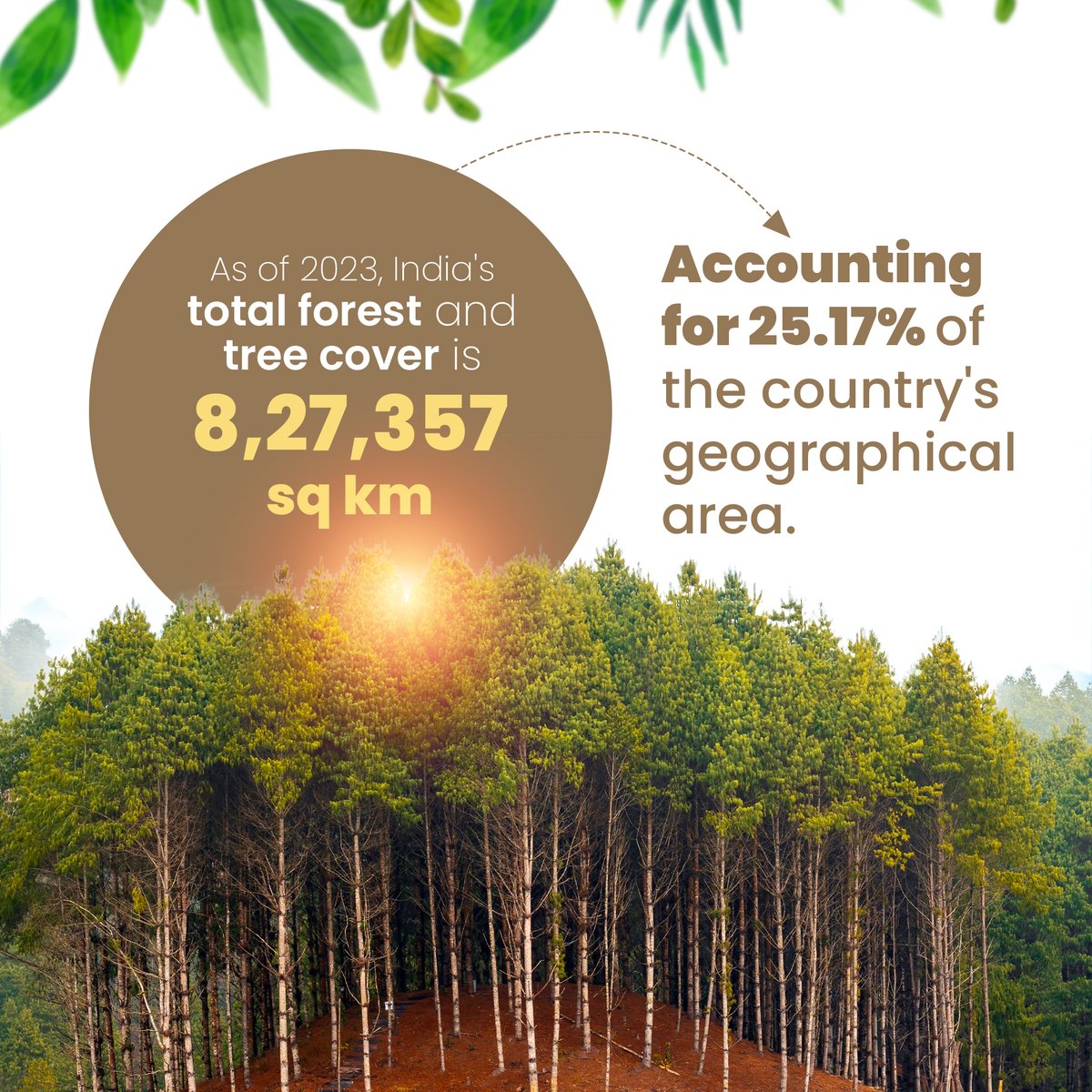
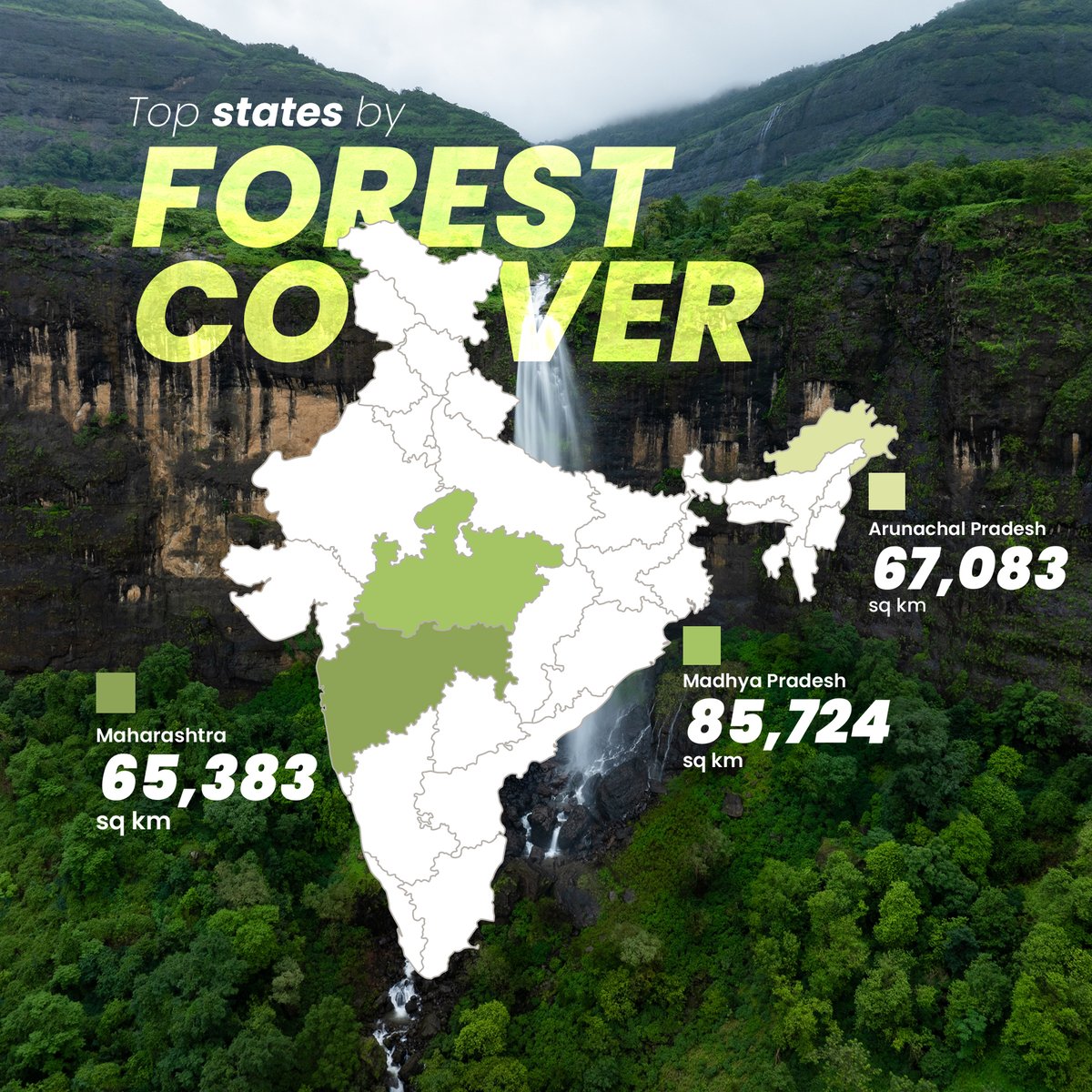
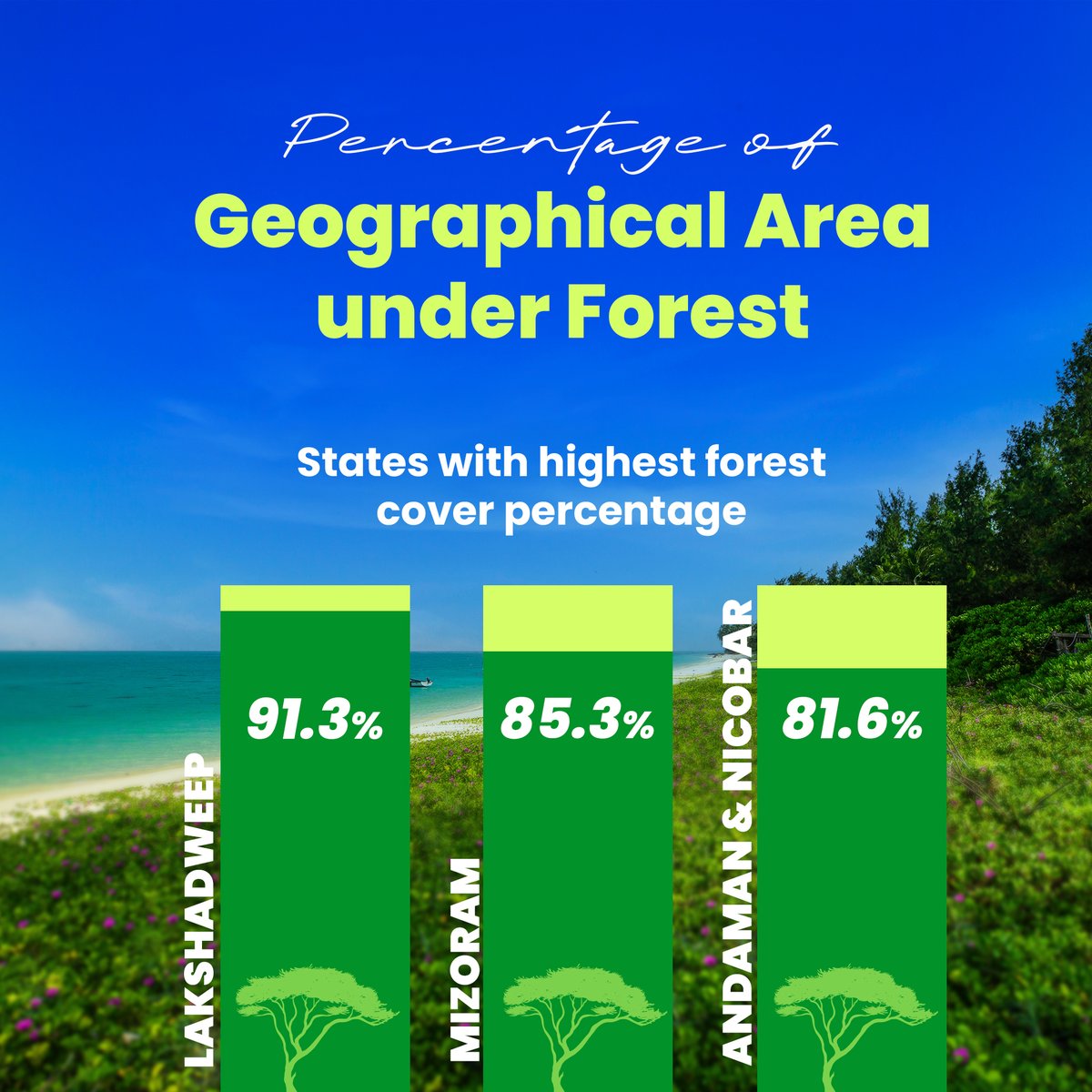
🌳 India’s Forest Cover: Growth vs Loss! In 2023, India has 25.17% of its area covered by forests, but tree cover loss is a growing challenge. Check out which states are making progress and which are losing out. 👇 #ForestCover #LatlongAI #GeospatialData #Sustainability

Flooding is rising, insurers need faster insights. Join our webinar Fighting the Rising Tide with FloodCast to see how rapid modelling transforms flood response. 5 Nov, 11am (GMT) Don’t miss it, register now: bit.ly/47jurc2 #GeospatialData #InsuranceTech


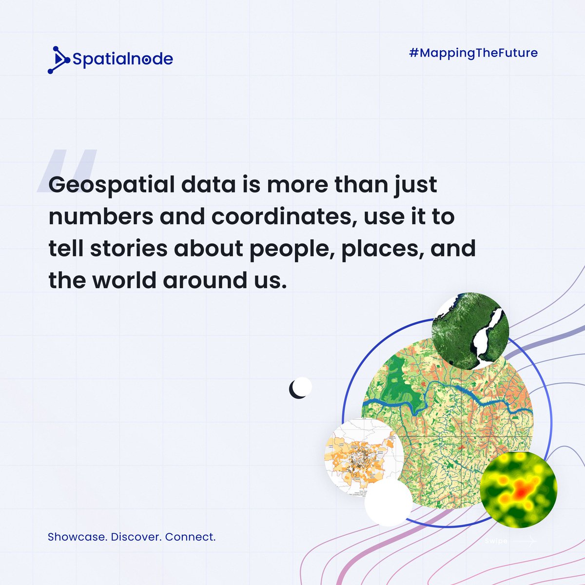
Geospatial data isn't just for techies! The power of #GeospatialData transcends tech! It's the backbone of impactful storytelling. Today, storytelling is in everyone's pockets. With just a phone with a camera, you can; - Document your journey - Share moments - Share local…


📣Call for Proposals! ISA is looking for a consultancy organization to provide geospatial mapping. If you have expertise in GIS tools, this is your chance to contribute to sustainable ocean governance! Apply by 13 October 👉 bit.ly/4e336gz #GIS #GeospatialData


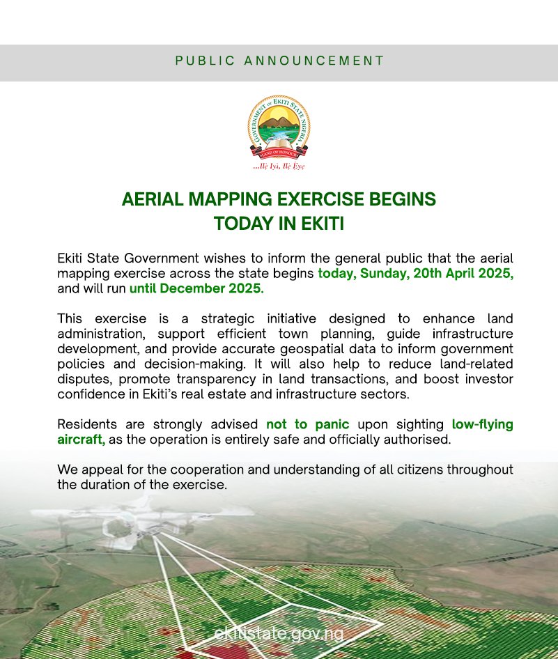
Aerial Mapping Begins in Ekiti Today! Residents are advised not to panic at the sight of low-flying aircraft, as it is a planned and harmless operation. The exercise runs till December 2025. #AerialMapping #EkitiDevelopment #GeospatialData #TownPlanning #BAOGovernance…

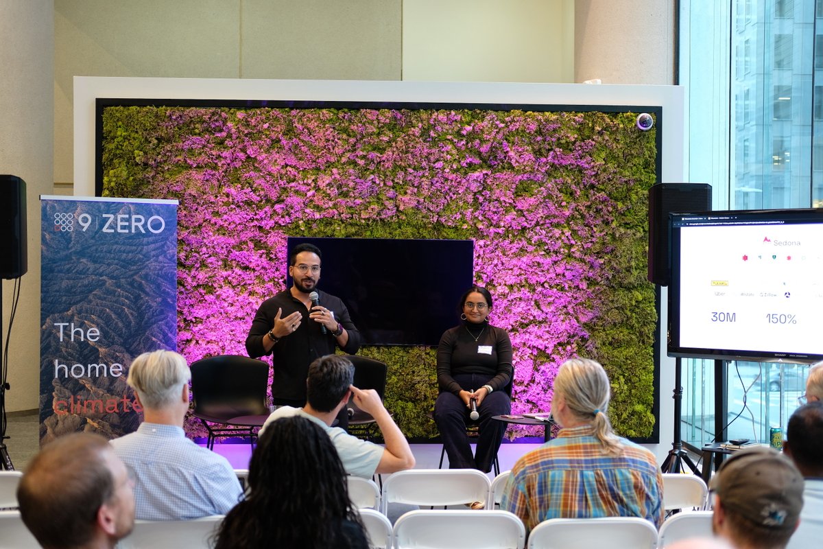
🎉 We had a blast at the Apache Sedona meetup yesterday! Big thanks to everyone who joined us. Today is the last day at #FOSS4GNA. Swing by table 34 to chat about #GeospatialData, #ApacheSeona, Wherobots, or just say hello! 👋


It's the first ever @OrdnanceSurvey Innovation Festival today,are ready to talk big ideas and geospatial solutions with everyone who's attending! They can't wait to get stuck in to show how we can help solve big challenges through the use of #geospatialdata!


How can global organizations gear up for predictive asset intelligence while navigating the complexities of #GeospatialData and regulatory demands? Join Altavec’s solution experts- David Mathew, Daniel Pendlebury, and Anthony Wilson- in a LIVE discussion with Ujjval Sonawane as…


5G enables high-speed data transfer and precise positioning in satellite coverage, while Beidou provides accurate timing and positioning in open areas. Their integration delivers unified communication and vast high-precision geographic data. 🌐🚀 #5G #Beidou #GeospatialData


Hello TopoDOT Community! 👋 Join us for TUC 26 this May in Orlando! Celebrate a decade of innovation, education and collaboration! 🎉 Register before the New Year for early bird discounts! #TUC26 #GeospatialData #PointClouds #CivilInfrastructure

Happy National #GISDay from your friends at Timmons Group! Check out what our GIS team has been up to this year >> mailchi.mp/b657bf602624/h… #GIS #GeospatialData #UtilityNetwork #TrimbleUnity #AssetManagement #EmergencyPreparedness
#India's Digital Personal Data Protection Act (#DPDPA) and associated Rules do not explicitly address #geospatialdata, highlighting a need for specific consideration of sensitive #personal information: @Shravishtha_ajaykumar or-f.org/35082

Messy data slows everything down. Bad maps make it worse. Here’s how top field teams are speeding up GIS work — while making the data cleaner, smarter, and easier to use. 👇 tinyurl.com/2tfwsh3e #GIS #FieldOps #GeospatialData 🛰️

DE Africa & @NASRDA trained staff on crop monitoring, flood mapping, urban growth & coastal change using DE Africa platforms, turning EO data into practical insights for sustainable development. Read the full story: digitalearthafrica.org/en_za/strength… #EarthObservation #GeospatialData
Precision starts with the right training. Gain the skills to plan, execute & deliver professional drone surveys with confidence. Pre-register for Volatus Academy’s Drone Mapping Fundamentals (Photogrammetry & LiDAR): bit.ly/4gMO40z #GeospatialData #VolatusAcademy

#India's Digital Personal Data Protection Act (#DPDPA) and associated Rules do not explicitly address #geospatialdata, highlighting a need for specific consideration of sensitive #personal information: @Shravishtha_ajaykumar or-f.org/35082

Discover how BASF Digital Farming leverages AWS to build a scalable geospatial data platform for farmers worldwide! 🌱🛰️ #AWS #GeospatialData #DigitalFarming #STAC #OpenSource #Innovation aws.amazon.com/blogs/architec…


Discover the secrets to maximizing your geospatial data with ArcGIS hosted services! 🚀📈 This blog series covers the differences between hosted feature services, vector tile services, and map tile services. #GeospatialData #ArcGIS Dive in ➡️ow.ly/wxAf30sQXPR


Day 5 of the #30-Day Map Challenge: Exploring the Wildland-Urban Interface (WUI) from SILVIS Labs at UW-Madison. We're examining #geospatialdata showing where homes meet wildland vegetation across the U.S., a challenge for wildfire management, urban planning, and conservation.

Are you looking for accurate and reliable geospatial data? Look no further than KWGIS! Our team of experts is dedicated to delivering high-quality services to support development projects. #KWGIS #GeospatialSolutions #GeospatialData

The Game Changer in Geospatial Ecosystem!! #ViksitBharat #publicdata #GeospatialData #DataRegistry

Survey of India’s National Geo Platform – Spatially Enabling Digital India In a major initiative to strengthen India’s National Geospatial Ecosystem and implement the vision of the National Geospatial Policy, 2022, Survey of India (SoI), Government of India, has entered into an…

#Geospatialdata helps us understand how Nigeria’s land is changing and what it means for people and the planet. A continuation of my geospatial analysis on Nigeria’s land sector highlights two critical layers:
#India's Digital Personal Data Protection Act (#DPDPA) and associated Rules do not explicitly address #geospatialdata, highlighting a need for specific consideration of sensitive #personal information: @Shravishtha_ajaykumar or-f.org/35082
It’s TopoDOT Tuesday! We prioritize accurate data for your geospatial projects. Ensure your point cloud meets specs before using tools. Learn more on our website or check out Technote 1021 by President Ted Knaak. #TopoDOTTuesday #GeospatialData #DataAssessment #LiDAR

#India's Digital Personal Data Protection Act (#DPDPA) and associated Rules do not explicitly address #geospatialdata, highlighting a need for specific consideration of sensitive #personal information: @Shravishtha_ajaykumar or-f.org/35082


Education being a necessity in urban development, it makes access to schools a vital aspect. Using geospatial data, we were able to map the distribution of schools in Jinja City, providing valuable insights for education planning and accessibility. #GeospatialData #DataCitiesUg

🌳 India’s Forest Cover: Growth vs Loss! In 2023, India has 25.17% of its area covered by forests, but tree cover loss is a growing challenge. Check out which states are making progress and which are losing out. 👇 #ForestCover #LatlongAI #GeospatialData #Sustainability

It was an honor to showcase some of our projects, including community mobilization initiatives, bootcamps, mapathons, women in geospatial, our geospatial innovation space at #geospatialdata and #digitaltechnologies 2024. @studio19tz @ResilienceAcad @UniTurku @TurkuAMK


Geospatial data isn't just for techies! The power of #GeospatialData transcends tech! It's the backbone of impactful storytelling. Today, storytelling is in everyone's pockets. With just a phone with a camera, you can; - Document your journey - Share moments - Share local…
Discover the secrets to maximizing your geospatial data with ArcGIS hosted services! 🚀📈 This blog series covers the differences between hosted feature services, vector tile services, and map tile services. #GeospatialData #ArcGIS Dive in ➡️ ow.ly/TCQA50X0Xqe

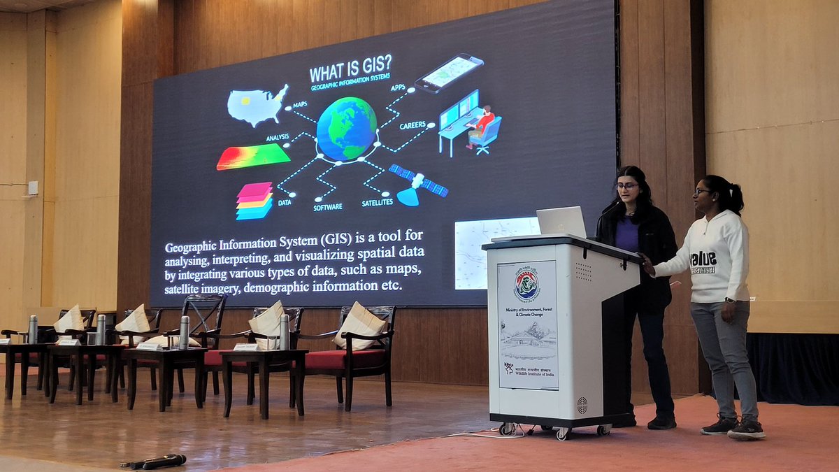
Accessible and rich datasets for Remote Sensing and GIS are transforming how we understand and interact with our environment. Here’s a glimpse of session on Data availability for RS and GIS Analysis #GeospatialData #RS #Gisday2023 @wii_india @himani_khati @harithajagannivasan

This #satepicoftheweek showcases New Orleans, Lousiana, which sits at, and in some areas below, sea level with mostly flat terrain and is prone to flooding. #geospatialdata helps governments and emergency responders identify high-risk areas and support recovery.

Aerial Mapping Begins in Ekiti Today! Residents are advised not to panic at the sight of low-flying aircraft, as it is a planned and harmless operation. The exercise runs till December 2025. #AerialMapping #EkitiDevelopment #GeospatialData #TownPlanning #BAOGovernance…
🎉 We had a blast at the Apache Sedona meetup yesterday! Big thanks to everyone who joined us. Today is the last day at #FOSS4GNA. Swing by table 34 to chat about #GeospatialData, #ApacheSeona, Wherobots, or just say hello! 👋

Great catching up with the Deputy Head of Mission for Italy in Kenya after the successful hosting of the #G7 Summit. We explored ways to strengthen our collaboration in #GeospatialData and Earth Observations, emphasizing their potential for informed development decisions and…


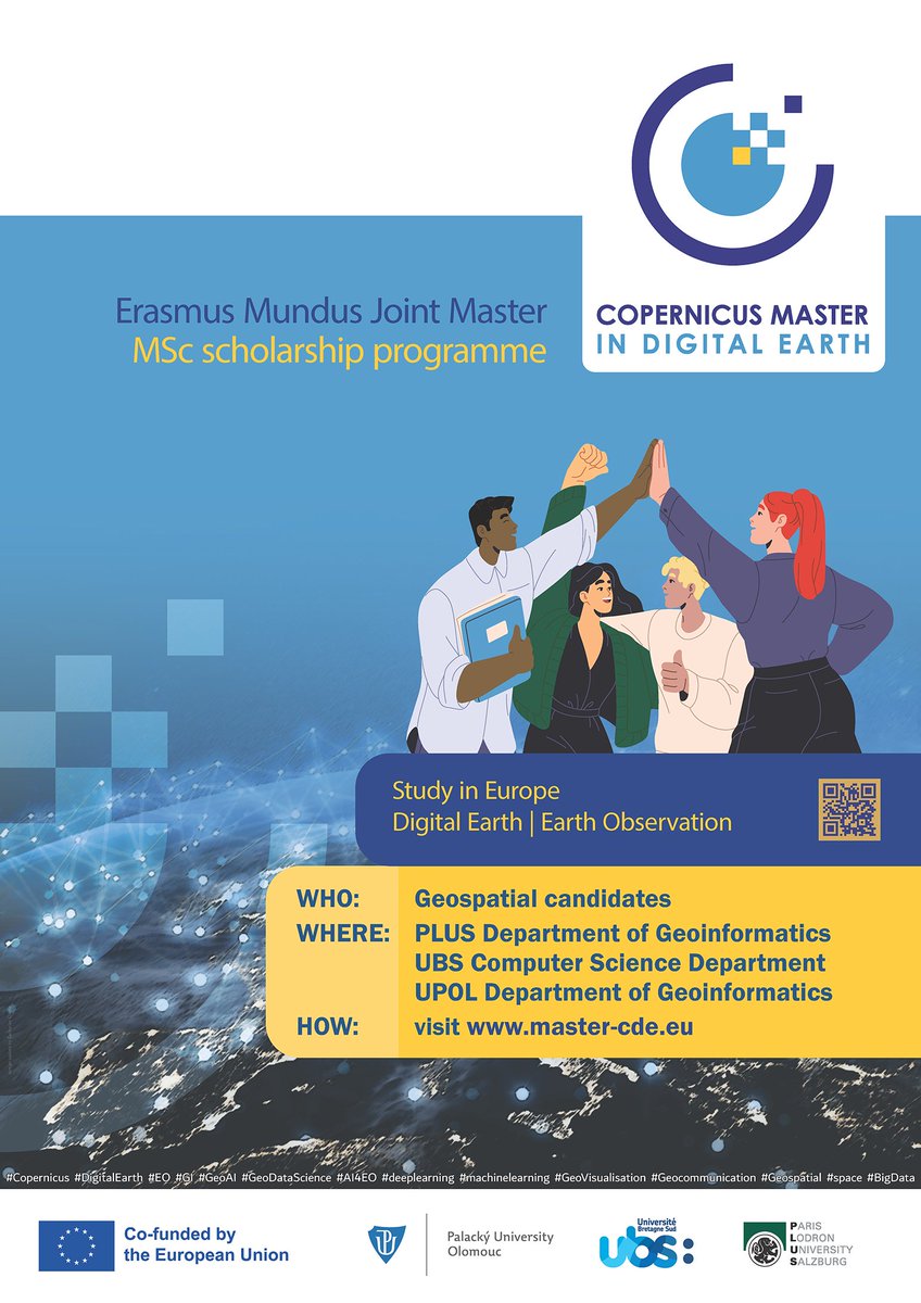
Are you #passionate about #GeospatialData? #ReadyToMove & study abroad #ApplyNow master-cde.eu postgrad #study #Europe #ErasmusPlus #EMJM #Copernicus #DigitalEarth #EO #GI #GeoDataScience #AI4EO #Geovisualisation #Geocommunication @PLUS_1622 @UPOlomouc @UBS_universite

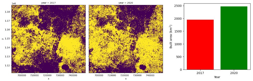
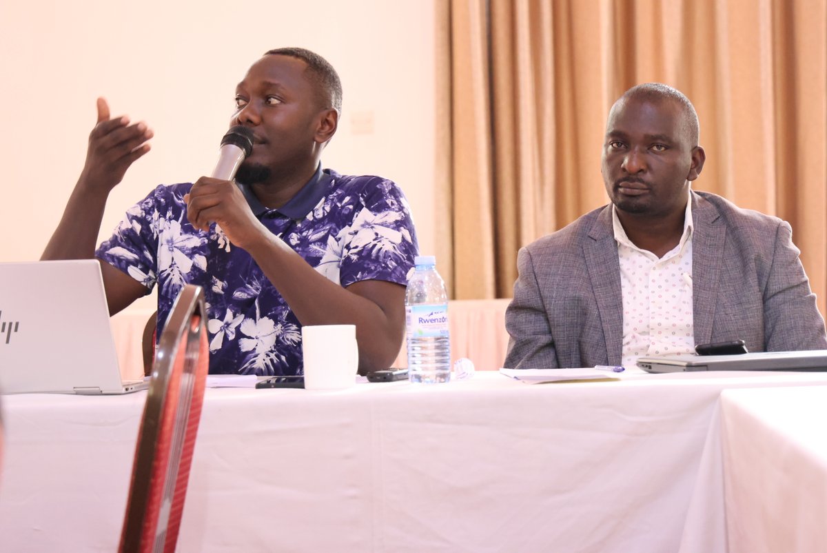
Dr. @mmubangizi15, our head of office, is presenting on the power of #GeospatialData. He illustrates how tracking physical locations with satellite imagery reveals urban expansion and informs urban planning, environmental management, and more. 👉Follow @DataCitiesUg for updates


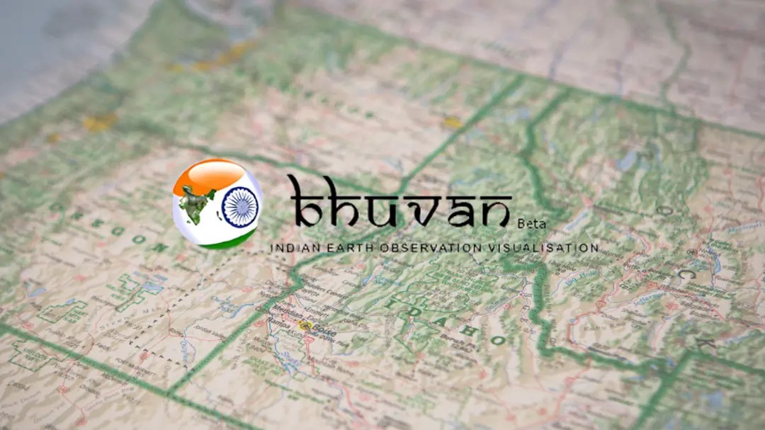
🛰️ ISRO’s Bhuvan is 10x Better Than Google Maps ISRO Chief S. Somanath unveils Geoportal-Bhuvan. This game-changer will revolutionize sectors like agriculture, urban planning, and disaster management. 🌍 #ISRO #GeoportalBhuvan #GeospatialData #Innovation #India #Google #Maps
✨ A huge thanks to everyone who attended our meetup yesterday! Special thanks to @Hivemapper for joining us and Silas Toms for revitalizing the GeoMeetup group. See you at the next event! #Meetup #GeospatialAI #GeospatialData


📣Call for Proposals! ISA is looking for a consultancy organization to provide geospatial mapping. If you have expertise in GIS tools, this is your chance to contribute to sustainable ocean governance! Apply by 13 October 👉 bit.ly/4e336gz #GIS #GeospatialData

It's a new day, a new week, and a new month. Use geospatial data to create stunning maps that tell stories this month! #geospatial #geospatialtips #geospatialdata #MondayMotivation

🌍 Geospatial Data Support for East African Humanitarians! 🛰 Caribou Space and UKHIH offer #support to integrate geospatial data into your operations. 📅 Deadline: 4 Sep 2024 🔗 Visit: shorturl.at/XCno5 #HumanitarianSupport #GeospatialData #EastAfrica #CrisisPreparedness


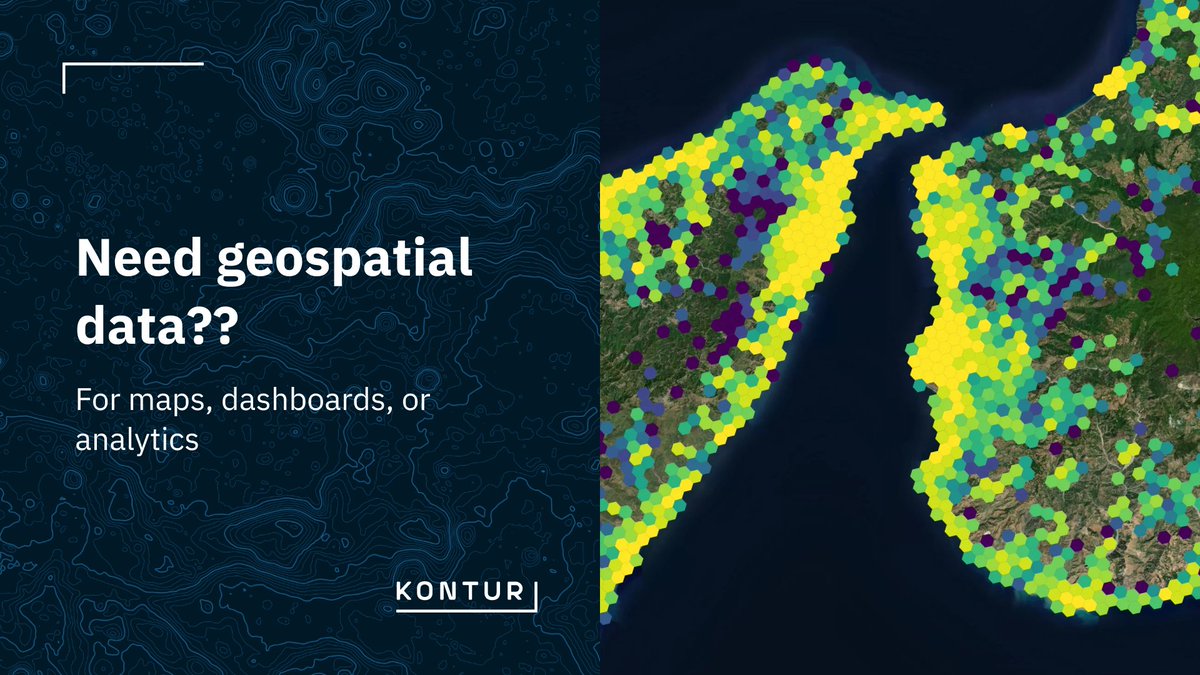
Need geospatial data for maps, dashboards, or analytics? Choose the method that best fits your use case: - API access - Embedded map - File download Need a specific layer? Contact us at [email protected] #GeospatialData #GIS #KonturAtlas

Meet members of the #K12 group @OAGEEOntarioGeo on Friday @YorkUEUC. Check out our workshops on how to navigate the world of #geospatialdata, #webmapping, field #datacollection, +#geographicanalysis w/#ArcGISOnline! Visit us at the @esricanada booth! @GIS4Teachers


Heading to Insurtech Insights USA on June 4 in NYC? Discover how TomTom’s location technology is powering the next generation of insurance - through smarter insights, better decisions, and real-world impact. ow.ly/sTSC50VUPGf #InsuranceTech #TomTom #GeospatialData

Something went wrong.
Something went wrong.
United States Trends
- 1. Good Thursday 27.3K posts
- 2. Happy Friday Eve N/A
- 3. #thursdaymotivation 1,653 posts
- 4. #thursdayvibes 2,279 posts
- 5. #ThursdayThoughts 1,583 posts
- 6. #หลิงออมปฏิทินช่อง3ปี2569 742K posts
- 7. LINGORM CH3 CALENDAR SIGN 733K posts
- 8. Nnamdi Kanu 63.2K posts
- 9. #ProofOfFortification N/A
- 10. FEMA 80.3K posts
- 11. Crockett 59.3K posts
- 12. But Jesus 22K posts
- 13. The 2024 88.4K posts
- 14. NO CAP 14.5K posts
- 15. Knicks 14.2K posts
- 16. Shamet 3,201 posts
- 17. FREE HAT 1,902 posts
- 18. Hire American 5,463 posts
- 19. Sam Harris 3,925 posts
- 20. Paint 32.7K posts