#fossgis2016 search results


#FOSSGIS2016: die #Videos sind #online ! geoobserver.wordpress.com/2016/07/11/fos… via @FOSSGIS_Konf #geo #gis #geoObserver #fossgis


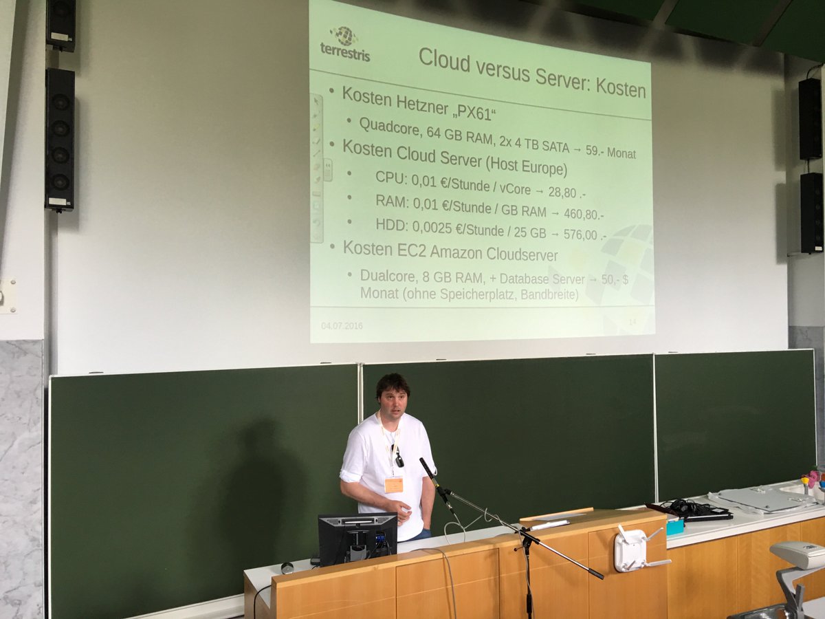
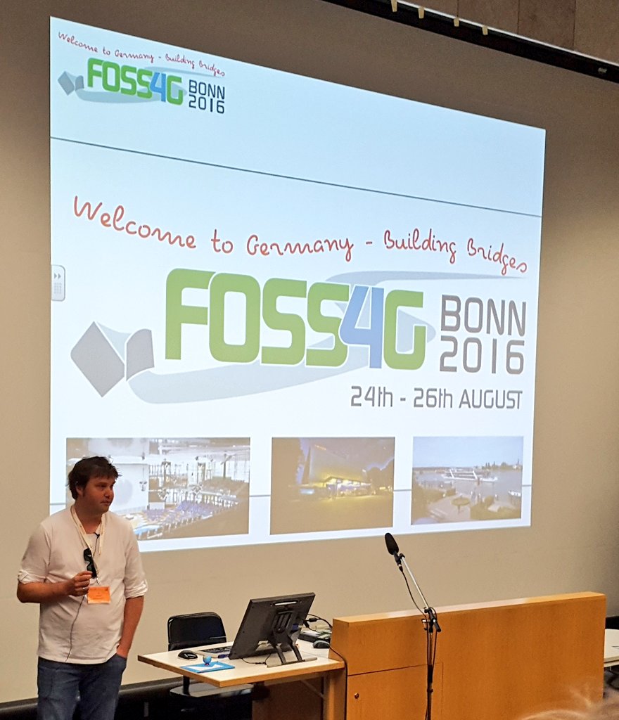
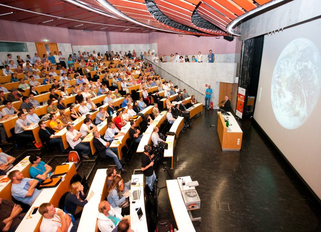
Auf #FOSSGIS2016 angekommen. 1. Vortrag: GIS in der Cloud-Schönwetterwolke, Gewitter oder reiner Dunst? von @t_adams

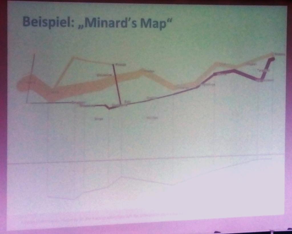
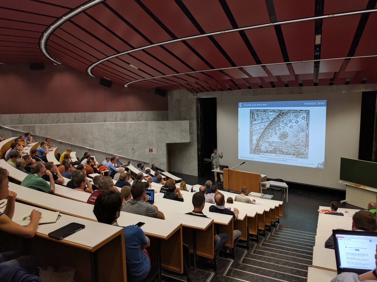
Still trying to understand minard's map made with #mapmap on a slide by @floledermann @ #FOSSGIS2016


Video recordings from #FOSSGIS2016 are online youtube.com/playlist?list=… @FOSSGIS_Konf #FOSSGIS @fossgis_eV @c3voc


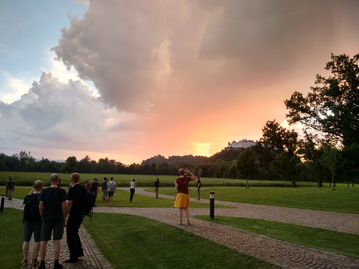
#AGIT2016 #GIForum2016 #FOSSGIS2016 participants seem to enjoy the @GI_Forum ice-breaker event with an amazing view

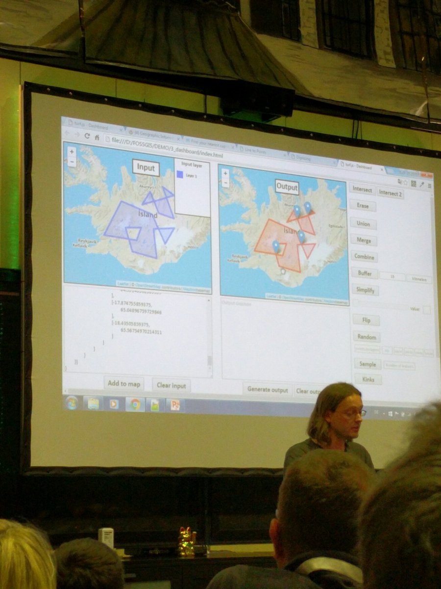
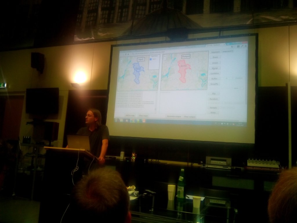
#Fossgis2016 jetzt Vortrag Turf.js live streaming.media.ccc.de/fossgis16/ oder relive streaming.media.ccc.de/fossgis16/reli…

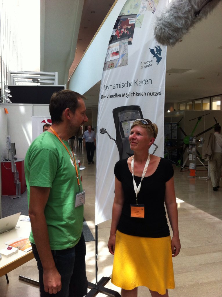
Danke @katjahafi für die gute Zusammenarbeit bei der #FOSSGIS2016 @fossgis_eV @FOSSGIS_Konf @FOSSGIS_AT @osm_at
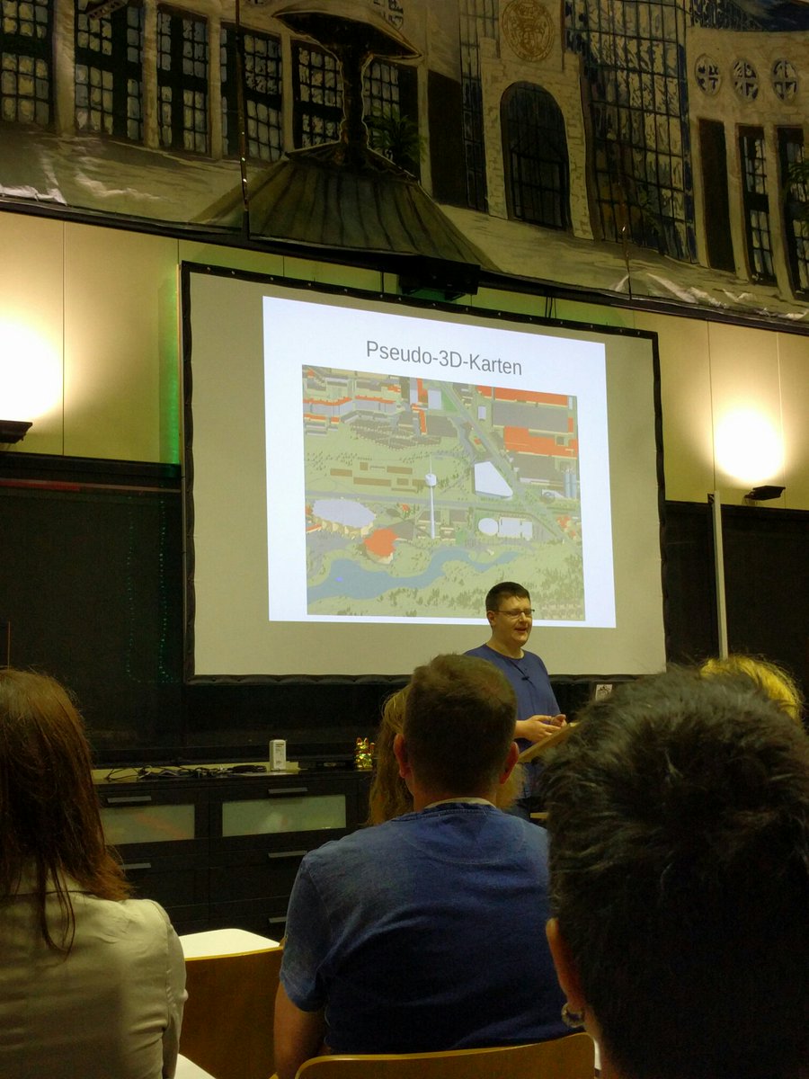
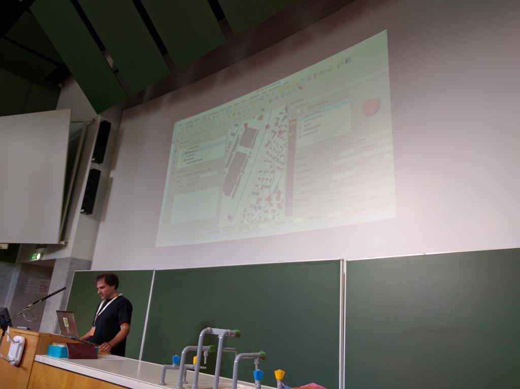
#qgis provides powerful tools for styling maps. Layer effects (shadows), data defined symbols, 2.5D #FOSSGIS2016

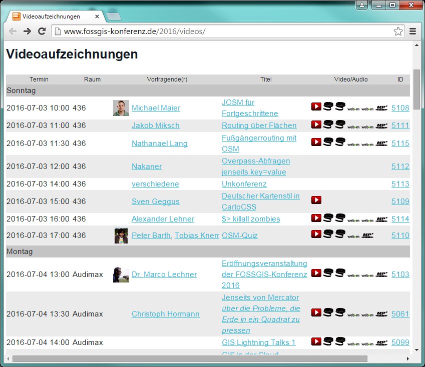
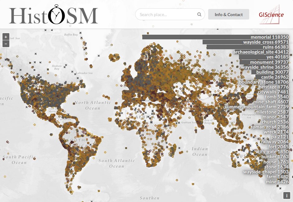
Cool. #OSM #histosm just saw the #FOSSGIS2016 video fossgis-konferenz.de/2016/programm/ Lightn Tak 2. 5 yes at #FOSS4G2016 venue histosm.org/#15/7.12167/50…

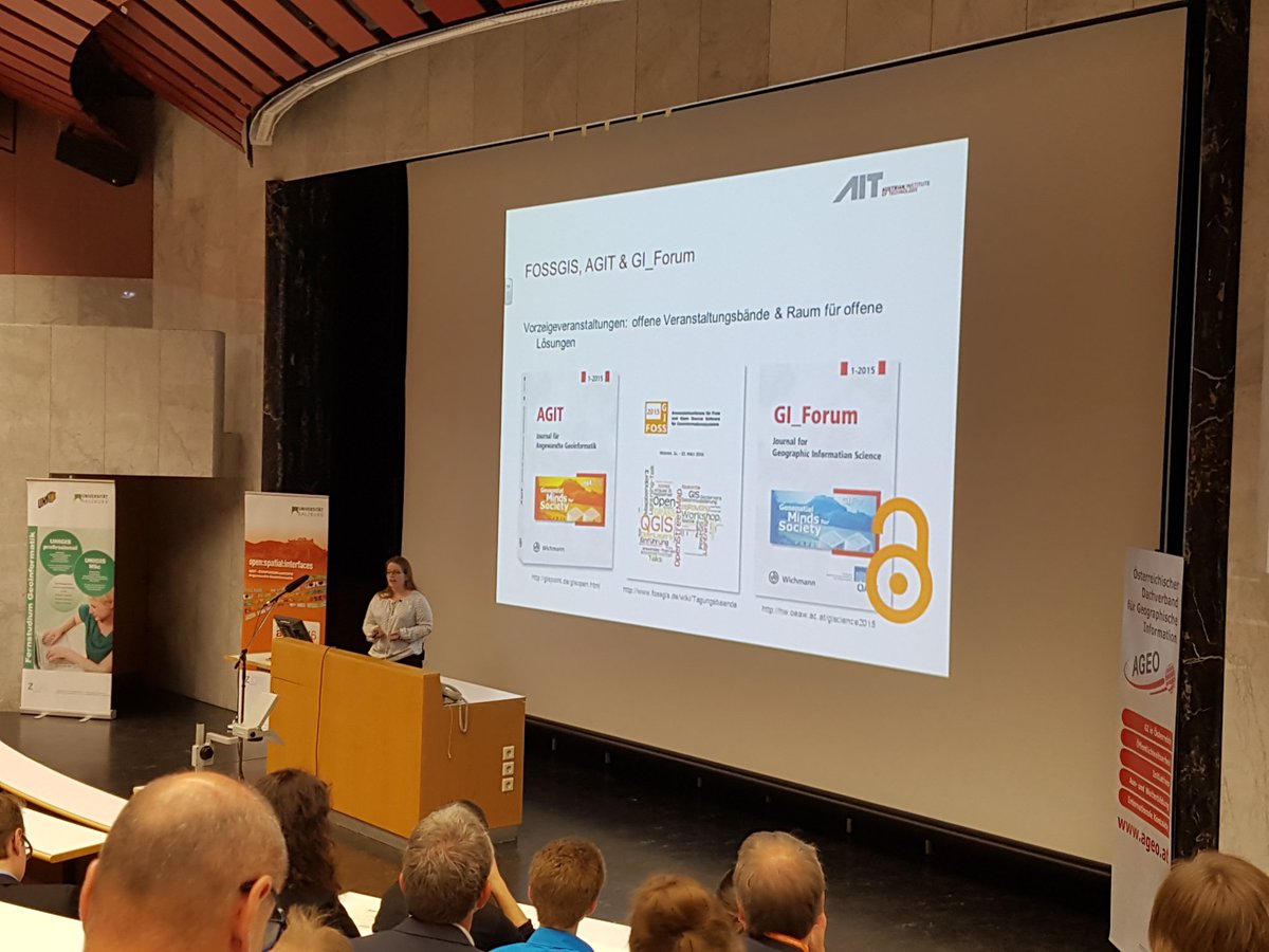
Report from the #GIForum2016 / #FOSSGIS2016 geospatialworld.net/news-posts/gi_… via @geoworldmedia @GI_Forum #Geospatial #GIS
Visual opening hours plugin for JOSM youtube.com/watch?v=-gUFIw… #FOSSGIS2016 #openstreetmap #osm @OSMBlogde

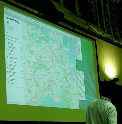
Our german introduction at #fossgis2016 into vector tiles from @openstreetmap

Downloadable OpenStreetMap vector tiles! Project of HSR students and KlokanTech at #FOSSGIS youtu.be/lG7atynI8Pk
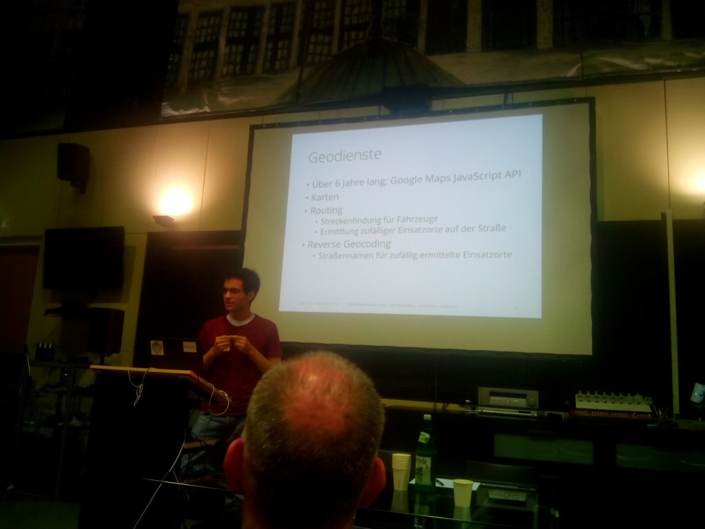
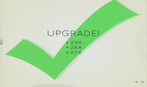
Gründe, um #Geoserver zu aktualisieren! youtube.com/watch?v=6aAZda… #fisbrokerberlin @OpenDataBerlin #FOSSGIS2016 @OSGeo

@ClearFOGMedia on weactradio.com Monday @ 11am #fossilfree #FOSSGIS2016
#FOSSGIS2016: die #Videos sind #online ! geoobserver.wordpress.com/2016/07/11/fos… via @FOSSGIS_Konf #geo #gis #geoObserver #fossgis
#FOSSGIS2016: die #Videos sind #online ! geoobserver.wordpress.com/2016/07/11/fos… via @FOSSGIS_Konf #geo #gis #geoObserver #fossgis
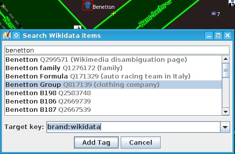
You can now search and add #wikidata tags with #JOSM - thanks to @simon04net! Result of a talk at #fossgis2016 :-)
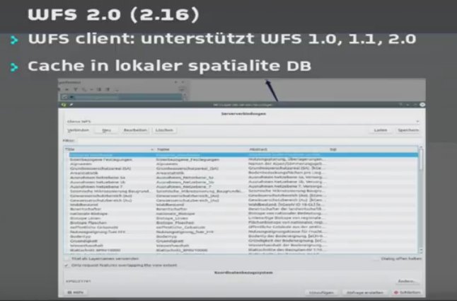
Neue Funktionen in QGIS 2.10 - 2.16 youtube.com/watch?v=Ilh74W… #FOSSGIS2016 #FOSSGIS #WFS @sourcepole @FOSSGIS_Konf

All #FOSSGIS2016 photos online flickr.com/photos/uni-sal… #Salzburg #fossgis @FOSSGIS_Konf @fossgis_eV @FOSSGIS_AT @foss4g @agit_team

Wow. That was fast! #FOSSGIS2016
Video recordings from #FOSSGIS2016 are online youtube.com/playlist?list=… @FOSSGIS_Konf #FOSSGIS @fossgis_eV @c3voc

Back in #Berlin. Many thanks to #AGIT2016 #FOSSGIS2016 #GIFORUM2016 for an incredible week in #Salzburg. #geospatial
Eigene PostgreSQL Extensions schreiben youtube.com/watch?v=gpc7XC… #FOSSGIS2016 #postgis #postgres
HistOSM - historic data in @openstreetmap histosm.org youtube.com/watch?v=gpc7XC… #FOSSGIS2016 #FOSSGIS
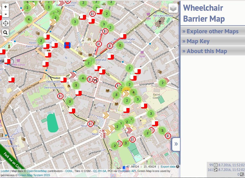
Wheelchair barrier map mm.linuxtage.at/wheelchair-obs… Hindernisse für Rollstuhlfahrer #FOSSGIS2016 @wheelmap @OSMBlogde
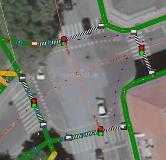
Höhe von Bordsteinkanten in @openstreetmap Rollstuhl Routing #josm #FOSSGIS2016 youtube.com/watch?v=wP3s5a… @wheelmap
Crowd-sourced public transportation in Managua support.mapanica.net @xamanu youtube.com/watch?v=wP3s5a… #FOSSGIS2016 #gtfs #osm @OSMBlogde
#FOSSGIS2016: die #Videos sind #online ! geoobserver.wordpress.com/2016/07/11/fos… via @FOSSGIS_Konf #geo #gis #geoObserver #fossgis

#FOSSGIS2016: die #Videos sind #online ! geoobserver.wordpress.com/2016/07/11/fos… via @FOSSGIS_Konf #geo #gis #geoObserver #fossgis
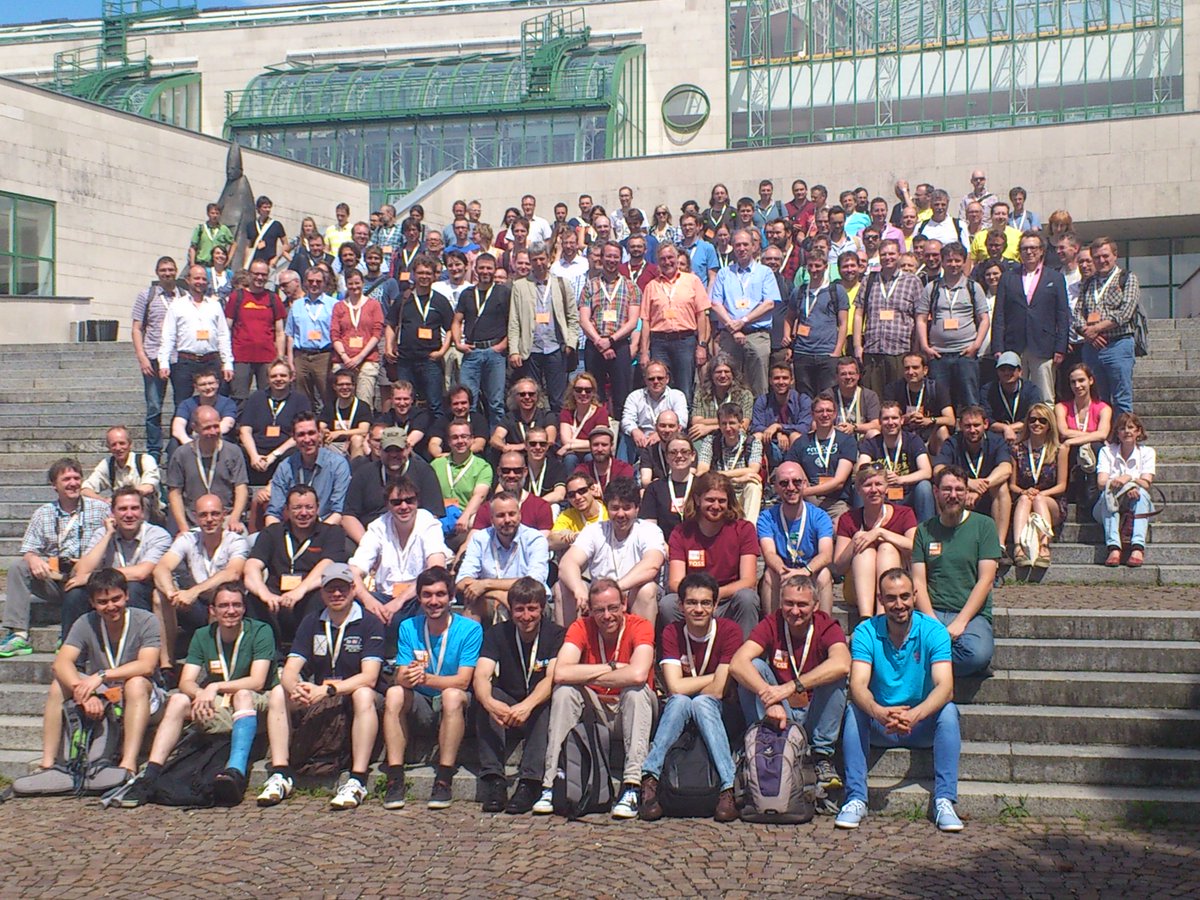
Größtes #FOSSGIS Community Gruppenbild in Austria ever! @FOSSGIS_Konf @fossgis_eV @FOSSGIS_AT #FOSSGIS2016 #AGIT2016
#AGIT2016 #GIForum2016 #FOSSGIS2016 participants seem to enjoy the @GI_Forum ice-breaker event with an amazing view

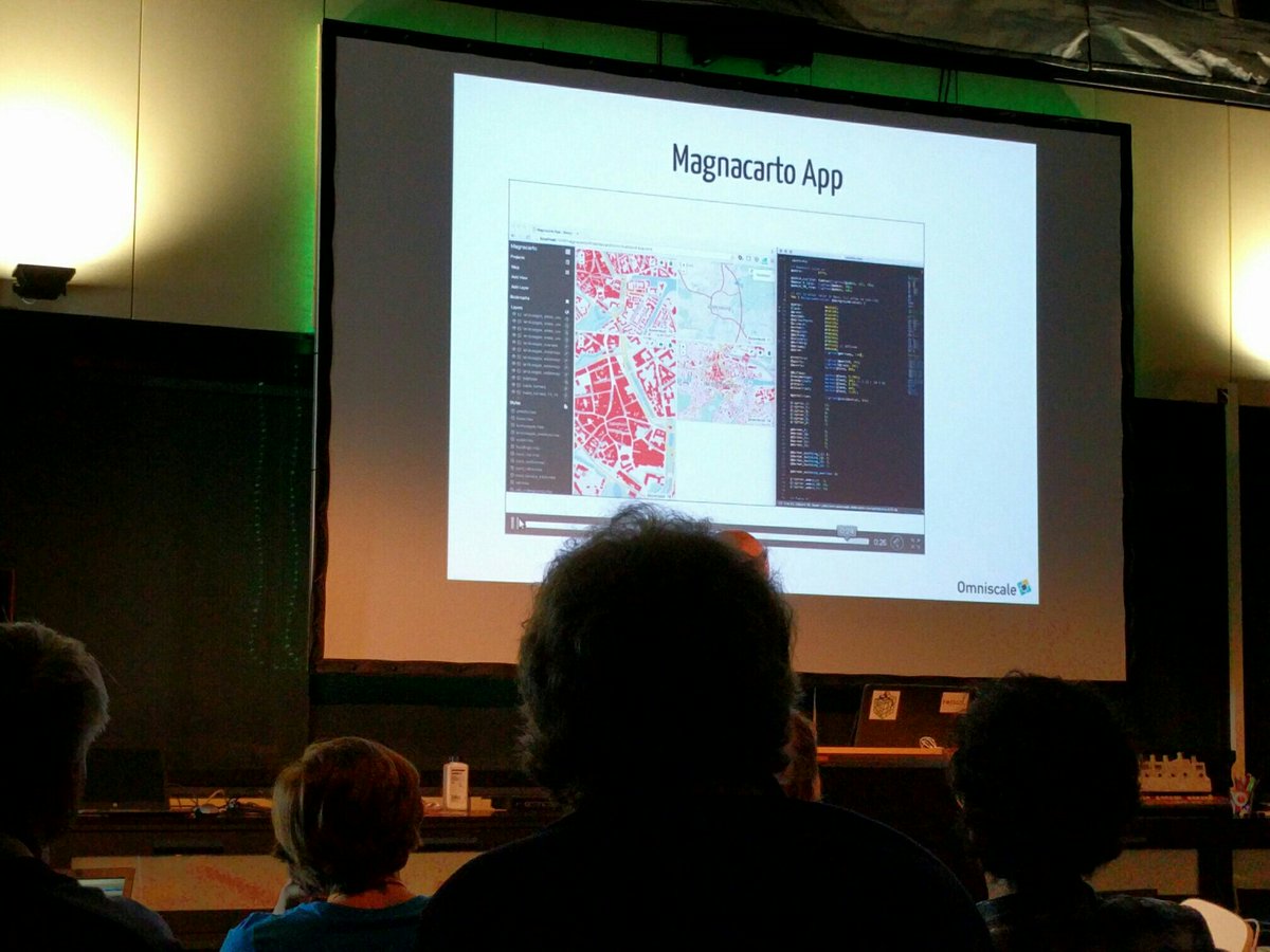
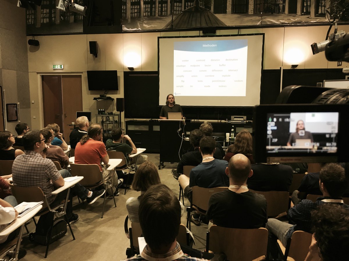
RT @underdarkGIS: CartoCSS live editor with export to #mapnik & #mapserver: Magnacarto #FOSSGIS2016 more at #foss4g
Back in #Berlin. Many thanks to #AGIT2016 #FOSSGIS2016 #GIFORUM2016 for an incredible week in #Salzburg. #geospatial
Auf #FOSSGIS2016 angekommen. 1. Vortrag: GIS in der Cloud-Schönwetterwolke, Gewitter oder reiner Dunst? von @t_adams
Something went wrong.
Something went wrong.
United States Trends
- 1. Good Thursday 18.8K posts
- 2. Knicks 13.6K posts
- 3. Shamet 2,961 posts
- 4. #AEWDynamite 21.9K posts
- 5. FEMA 69.8K posts
- 6. Brandon Williams 1,056 posts
- 7. #Survivor49 3,967 posts
- 8. NO CAP 14.9K posts
- 9. Derik Queen 4,544 posts
- 10. #AEWCollision 8,815 posts
- 11. Sam Harris 3,357 posts
- 12. #SeeRed N/A
- 13. #TheChallenge41 1,681 posts
- 14. Nany 2,038 posts
- 15. Chisa 33.9K posts
- 16. Sheila Cherfilus-McCormick 52.5K posts
- 17. FREE HAT 1,671 posts
- 18. Lute 87.2K posts
- 19. Blazers 4,222 posts
- 20. D'Angelo Russell 1,057 posts