#postgis 搜索结果

Aprende a crear #Geoportales (Dashboard o Tableros) desde cero con IA, almacena los datos en la nube con la capacidad de #PostGIS, actualiza las capas desde #QGIS y obtén tu propia URL pública. Sin pagar por el uso de ningún software. udemy.com/course/curso-t… #Github #ChatGPT…

🚀Join our Introduction to PostGIS course and unlock the Power of Spatial Databases! 📷27–28 October 2025 Gain the tools to manage geospatial data with confidence and precision 🔗Book your spot: kartoza.com/training/intro… #Kartoza #PostGIS #OpenSource #GIS #SpatialAnalysis


PostGIS 3.6 – تنظيف البيانات المكانية 🚀 دالة ST_CoverageClean & Co تساعد على تنظيف وبناء الطبقات المكانية بدقة عالية، مما يضمن تحليلاً جغرافيًا خاليًا من الأخطاء الهندسية. 🌍📊 🔗 التفاصيل: geoobserver.de/2025/08/29/st_… #GIS #PostGIS #geospatial #opensource #spatial #geoObserver


Using PostGIS ST_LineInterpolatePoints to evenly get points from road features, ST_ClusterDBSCAN to get non-overlapping points for road shields on interactive map. Only ST_ClusterDBSCAN for non-overlaping GNIS place names. #30DayMapChallenge #points #postgis #leafletjs


Generate tiles directly from your database using #PostGIS`s ST_AsMVT and ST_AsMVTGeom functions. Connecting to the database via the intuitive GUI in MapTiler Server is really easy too. (Advanced users can still use SQL if they want!) Learn more: bit.ly/4arUpuu #WebMaps

#Postgis is a fantastic software, since my first steps in 2005 I use postgis daily at work for all steps of geodata management and processing. Many thanks to all involved and happy #postgisday ! #dalle3art


Those little red and blue dots might not look like much, but they are signs that a plan is coming together on this demo #PostgreSQL database with #PostGIS 🎉🐘


🤔 ¿Qué son PostgreSQL y PostGIS? Te lo contamos ⬇ #postgresql #postgis #postgres #sig #gis #gisworld #formaciónsig #comunidadgis

Cómo conectar #QGIS con #PostGIS en 7 sencillos pasos rviv.ly/E6f02b

#PostgreSQL + PostGIS: Solución para la gestión de Datos Espaciales rviv.ly/XWiGcd #PostGIS


PostGIS-Release: 3.4.3 geoobserver.de/2024/09/05/pos… #PostGIS #PostgreSQL #gistribe #gischat #fossgis #foss4g #OSGeo #spatial #geospatial #opensource #gis #geo #geoObserver pls RT @postgis @pwramsey


Ensure a smooth transition as you upgrade to #PostGIS by mastering advanced #PostgreSQL administration, Linux container management, and rigorous validation techniques. 📺 👀 Watch the on-demand webinar here: bit.ly/3R81Qjs


We are at @foss4gna all week! Come by the Crunchy Data table for some special edition stickers and catch our team giving a number of talks. Elizabeth Garrett Christensen @sqlliz has a talk at 11:30 Tuesday about "Postgres and #PostGIS Ops Management" and 1:00 Wednesday about…

PgMetadata: #metadatos en QGIS para capas #PostGIS 🐘 rviv.ly/c4DAQ3 #PostgreSQL


🚀 Join Ryan Lambert for a full-day pre-con focusing on #PostGIS, a powerful #PostgreSQL extension that brings geospatial data into a familiar relational environment. Learn more and register now at rd.gt/45rGrpa.
Cómo leer y grabar datos en #PostGIS desde #GeoPandas mappinggis.com/2023/09/como-l… #Python
mappinggis.com
Cómo leer y grabar datos en PostGIS desde GeoPandas
Explicamos cómo leer datos desde PostGIS utilizando GeoPandas y el camino inverso: crear una tabla y dotarla de contenido desde GeoPandas
Cómo importar una tabla #Excel a #PostGIS rviv.ly/cWYV8R #csv


🌍🐘 Este #curso formará al alumno en el manejo de la 𝗯𝗮𝘀𝗲 𝗱𝗲 𝗱𝗮𝘁𝗼𝘀 #𝗣𝗼𝘀𝘁𝗚𝗜𝗦 para obtener el mayor rendimiento de sus datos. 🌐 bit.ly/Curso_BBDD_Pos… 💻 Online 📅 13 de noviembre 🕘 120 horas ✅ Descuentos ℹ bit.ly/Form_BBDD_Post… #QGIS #DatosEspaciales


AcuGIS has #GIS hosting plans for all your needs including #PostGIS, #GeoServer, #Lizmap, #GeoNode and more. Choice of hosting locations around the globe. Learn more and get started at acugis.com

Using PostGIS ST_LineInterpolatePoints to evenly get points from road features, ST_ClusterDBSCAN to get non-overlapping points for road shields on interactive map. Only ST_ClusterDBSCAN for non-overlaping GNIS place names. #30DayMapChallenge #points #postgis #leafletjs

🌍 Excited to share Spatial Query Lab — an interactive web tool to learn #SpatialSQL & #PostGIS using Supabase + Leaflet! Built for @TAMU students to explore spatial queries & map results live 🗺️ 🔗 github.com/rayford295/Spa… #GIS #GeoAI #DataScience #Geospatial #OpenSource

🌐➡️ Entre las distintas opciones de descarga de los datos de ocurrencia en GBIF aparece una nueva denominada “Cube”. Leer más: bit.ly/formato_datos_… #descargadatos #DataScience #PostGIS


🚀Join our Introduction to PostGIS course and unlock the Power of Spatial Databases! 📷27–28 October 2025 Gain the tools to manage geospatial data with confidence and precision 🔗Book your spot: kartoza.com/training/intro… #Kartoza #PostGIS #OpenSource #GIS #SpatialAnalysis


PostGIS 3.6 – تنظيف البيانات المكانية 🚀 دالة ST_CoverageClean & Co تساعد على تنظيف وبناء الطبقات المكانية بدقة عالية، مما يضمن تحليلاً جغرافيًا خاليًا من الأخطاء الهندسية. 🌍📊 🔗 التفاصيل: geoobserver.de/2025/08/29/st_… #GIS #PostGIS #geospatial #opensource #spatial #geoObserver
Introducción a Express.js: conexión a una base de datos #PostGIS #JavaScript mappinggis.com/2024/03/introd…


Working with large area dataset in #postgis might give incorrect measurements. How can we fix this? Thread 🧵 👇 #postgis #postgresql #gis #geospatial


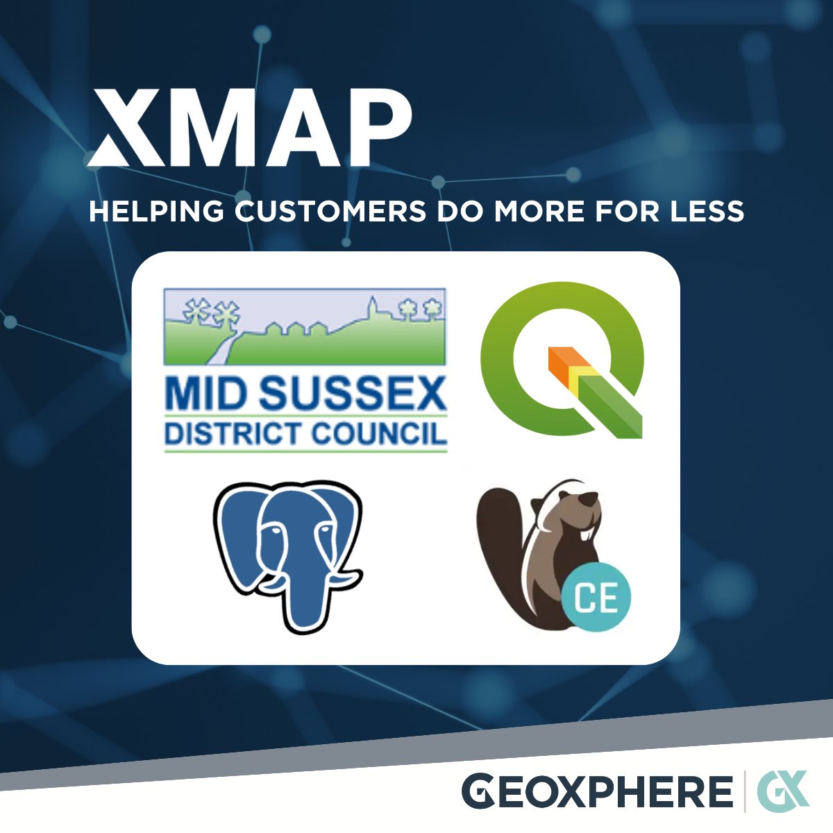
We've just finished supporting MidSussex District Council migrate to #QGIS, saving them over £8000 in desktop GIS licence costs. We've also started them on the journey of using #Dbeaver to admin their #PostGIS instance. #foss4g #publicsector #localgov #gis
PostGIS-Release: 3.4.3 geoobserver.de/2024/09/05/pos… #PostGIS #PostgreSQL #gistribe #gischat #fossgis #foss4g #OSGeo #spatial #geospatial #opensource #gis #geo #geoObserver pls RT @postgis @pwramsey
#Postgis is a fantastic software, since my first steps in 2005 I use postgis daily at work for all steps of geodata management and processing. Many thanks to all involved and happy #postgisday ! #dalle3art

La vista previa desde el administrador de bases de datos de #QGIS nos ahorra mucho tiempo para no tener que cargar cada una de las capas/tablas a nuestro editor. #PostGIS


Get a crash course in PostGIS for your spatial-database needs by attending this #FOSS4GNA workshop led by two #PostGIS pioneers: bit.ly/foss4gna2025 #GIS


🌐🗺️➡️ 𝗖𝗮𝗿𝘁𝗼 es una empresa que permite desde su plataforma trabajar con datos del usuario con el objetivo de ser mostrados en un visor cartográfico. Leer más: bit.ly/formatos_datos… #Carto #WebGIS #PostGIS

Those little red and blue dots might not look like much, but they are signs that a plan is coming together on this demo #PostgreSQL database with #PostGIS 🎉🐘
We are at @foss4gna all week! Come by the Crunchy Data table for some special edition stickers and catch our team giving a number of talks. Elizabeth Garrett Christensen @sqlliz has a talk at 11:30 Tuesday about "Postgres and #PostGIS Ops Management" and 1:00 Wednesday about…
Using PostGIS ST_LineInterpolatePoints to evenly get points from road features, ST_ClusterDBSCAN to get non-overlapping points for road shields on interactive map. Only ST_ClusterDBSCAN for non-overlaping GNIS place names. #30DayMapChallenge #points #postgis #leafletjs
Something went wrong.
Something went wrong.
United States Trends
- 1. Penn State 22.9K posts
- 2. Indiana 38.4K posts
- 3. Mendoza 19.9K posts
- 4. Gus Johnson 6,633 posts
- 5. #UFCVegas111 4,832 posts
- 6. #iufb 4,157 posts
- 7. Sayin 68.4K posts
- 8. Omar Cooper 9,417 posts
- 9. Estevao 37.7K posts
- 10. Iowa 19.4K posts
- 11. Sunderland 154K posts
- 12. Josh Hokit N/A
- 13. Mizzou 3,622 posts
- 14. Texas Tech 13.7K posts
- 15. Jim Knowles N/A
- 16. Kirby Moore N/A
- 17. Happy Valley 1,887 posts
- 18. James Franklin 8,649 posts
- 19. Oregon 33.5K posts
- 20. Carter Smith N/A