#postgis search results

Aprende a crear #Geoportales (Dashboard o Tableros) desde cero con IA, almacena los datos en la nube con la capacidad de #PostGIS, actualiza las capas desde #QGIS y obtén tu propia URL pública. Sin pagar por el uso de ningún software. udemy.com/course/curso-t… #Github #ChatGPT…

Using PostGIS ST_LineInterpolatePoints to evenly get points from road features, ST_ClusterDBSCAN to get non-overlapping points for road shields on interactive map. Only ST_ClusterDBSCAN for non-overlaping GNIS place names. #30DayMapChallenge #points #postgis #leafletjs


🚀Join our Introduction to PostGIS course and unlock the Power of Spatial Databases! 📷27–28 October 2025 Gain the tools to manage geospatial data with confidence and precision 🔗Book your spot: kartoza.com/training/intro… #Kartoza #PostGIS #OpenSource #GIS #SpatialAnalysis


PostGIS 3.6 – تنظيف البيانات المكانية 🚀 دالة ST_CoverageClean & Co تساعد على تنظيف وبناء الطبقات المكانية بدقة عالية، مما يضمن تحليلاً جغرافيًا خاليًا من الأخطاء الهندسية. 🌍📊 🔗 التفاصيل: geoobserver.de/2025/08/29/st_… #GIS #PostGIS #geospatial #opensource #spatial #geoObserver


#Postgis is a fantastic software, since my first steps in 2005 I use postgis daily at work for all steps of geodata management and processing. Many thanks to all involved and happy #postgisday ! #dalle3art


Generate tiles directly from your database using #PostGIS`s ST_AsMVT and ST_AsMVTGeom functions. Connecting to the database via the intuitive GUI in MapTiler Server is really easy too. (Advanced users can still use SQL if they want!) Learn more: bit.ly/4arUpuu #WebMaps

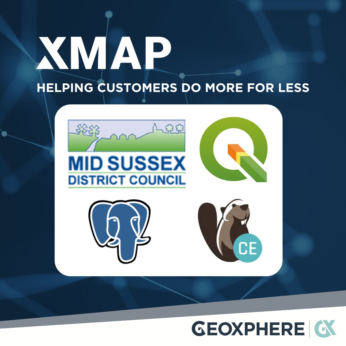
We've just finished supporting MidSussex District Council migrate to #QGIS, saving them over £8000 in desktop GIS licence costs. We've also started them on the journey of using #Dbeaver to admin their #PostGIS instance. #foss4g #publicsector #localgov #gis

Those little red and blue dots might not look like much, but they are signs that a plan is coming together on this demo #PostgreSQL database with #PostGIS 🎉🐘


🤔 ¿Qué son PostgreSQL y PostGIS? Te lo contamos ⬇ #postgresql #postgis #postgres #sig #gis #gisworld #formaciónsig #comunidadgis

Get a crash course in PostGIS for your spatial-database needs by attending this #FOSS4GNA workshop led by two #PostGIS pioneers: bit.ly/foss4gna2025 #GIS


Ensure a smooth transition as you upgrade to #PostGIS by mastering advanced #PostgreSQL administration, Linux container management, and rigorous validation techniques. 📺 👀 Watch the on-demand webinar here: bit.ly/3R81Qjs


Cómo conectar #QGIS con #PostGIS en 7 sencillos pasos rviv.ly/E6f02b
mappinggis.com
Cómo conectar QGIS con PostGIS en 7 sencillos pasos
En este tutorial explicamos paso a paso cómo conectar QGIS con PostGIS para visualizar y editar las tablas almacenadas en PostGIS
#PostgreSQL + PostGIS: Solución para la gestión de Datos Espaciales rviv.ly/XWiGcd #PostGIS


PostGIS-Release: 3.4.3 geoobserver.de/2024/09/05/pos… #PostGIS #PostgreSQL #gistribe #gischat #fossgis #foss4g #OSGeo #spatial #geospatial #opensource #gis #geo #geoObserver pls RT @postgis @pwramsey


We are at @foss4gna all week! Come by the Crunchy Data table for some special edition stickers and catch our team giving a number of talks. Elizabeth Garrett Christensen @sqlliz has a talk at 11:30 Tuesday about "Postgres and #PostGIS Ops Management" and 1:00 Wednesday about…


🚀 Join Ryan Lambert for a full-day pre-con focusing on #PostGIS, a powerful #PostgreSQL extension that brings geospatial data into a familiar relational environment. Learn more and register now at rd.gt/45rGrpa.
PgMetadata: #metadatos en QGIS para capas #PostGIS 🐘 rviv.ly/c4DAQ3 #PostgreSQL


🌍🐘 Este #curso formará al alumno en el manejo de la 𝗯𝗮𝘀𝗲 𝗱𝗲 𝗱𝗮𝘁𝗼𝘀 #𝗣𝗼𝘀𝘁𝗚𝗜𝗦 para obtener el mayor rendimiento de sus datos. 🌐 bit.ly/Curso_BBDD_Pos… 💻 Online 📅 13 de noviembre 🕘 120 horas ✅ Descuentos ℹ bit.ly/Form_BBDD_Post… #QGIS #DatosEspaciales


AcuGIS has #GIS hosting plans for all your needs including #PostGIS, #GeoServer, #Lizmap, #GeoNode and more. Choice of hosting locations around the globe. Learn more and get started at acugis.com

Using PostGIS ST_LineInterpolatePoints to evenly get points from road features, ST_ClusterDBSCAN to get non-overlapping points for road shields on interactive map. Only ST_ClusterDBSCAN for non-overlaping GNIS place names. #30DayMapChallenge #points #postgis #leafletjs

🌍 Excited to share Spatial Query Lab — an interactive web tool to learn #SpatialSQL & #PostGIS using Supabase + Leaflet! Built for @TAMU students to explore spatial queries & map results live 🗺️ 🔗 github.com/rayford295/Spa… #GIS #GeoAI #DataScience #Geospatial #OpenSource

🌐➡️ Entre las distintas opciones de descarga de los datos de ocurrencia en GBIF aparece una nueva denominada “Cube”. Leer más: bit.ly/formato_datos_… #descargadatos #DataScience #PostGIS

🌍🐘 Abrimos el plazo de matriculación del #curso que formará al alumno en el manejo de la 𝗯𝗮𝘀𝗲 𝗱𝗲 𝗱𝗮𝘁𝗼𝘀 #𝗣𝗼𝘀𝘁𝗚𝗜𝗦. 🌐 bit.ly/Curso_BBDD_Pos… 💻 Online 📅 13 de noviembre 🕘 120 horas ✅ Descuentos ℹ bit.ly/Form_BBDD_Post… #QGIS #DatosEspaciales #basedatos

🌐🗺️➡️ 𝗖𝗮𝗿𝘁𝗼 es una empresa que permite desde su plataforma trabajar con datos del usuario con el objetivo de ser mostrados en un visor cartográfico. Leer más: bit.ly/formatos_datos… #Carto #WebGIS #PostGIS

Get a crash course in PostGIS for your spatial-database needs by attending this #FOSS4GNA workshop led by two #PostGIS pioneers: bit.ly/foss4gna2025 #GIS
🌐➡️ Entre las distintas opciones de descarga de los datos de ocurrencia en GBIF aparece una nueva denominada “Cube”. Leer más: bit.ly/formato_datos_… #descargadatos #DataScience #PostGIS


Analyze geographic data directly in #PostgreSQL with #PostGIS. Unlock powerful spatial operations like calculating distances, measuring areas, and performing spatial joins - perfect for mapping, GIS, and geospatial analytics applications. red.ht/4mHuS5T

Aprende a crear #Geoportales (Dashboard o Tableros) desde cero con IA, almacena los datos en la nube con la capacidad de #PostGIS, actualiza las capas desde #QGIS y obtén tu propia URL pública. Sin pagar por el uso de ningún software. udemy.com/course/curso-t… #Github #ChatGPT…

僕は初めてlocalhost上の #PostGIS データベースの #REST #API サービスの #Swagger を作成した。#OpenAPI ドキュメントは #POSTgREST によって生成される👨🏻💻 #Docker Compose には、#PostgreSQL + PostGIS + POSTgREST + #SwaggerUI が含まれてる。

🌐💻➡ En esta entrada os mostramos la fusión de PostGIS y QGIS gracias a varios plugins de QGIS. Leer más: cursosgis.com/ejemplos-de-co… #SIG #PostGIS #QGIS #plugin
cursosgis.com
Ejemplos de complementos de QGIS para trabajar con PostGIS
Los complementos desarrollados por numerosos usuarios de QGIS y compartidos para el público general de manera gratuita, son uno de los pilares de QGIS, que ve de esta manera apoyada su evolución...
🌍🐘 Último día para matricularte en el curso que formará al alumno en el manejo de la 𝗯𝗮𝘀𝗲 𝗱𝗲 𝗱𝗮𝘁𝗼𝘀 𝗣𝗼𝘀𝘁𝗚𝗜𝗦 para obtener el mayor rendimiento de sus datos. 🌐 Web: bit.ly/Curso_BBDD_Pos… 📧 [email protected] #QGIS #PostGIS #BBDD #DatosEspaciales #curso
cursosgis.com
Curso sobre Base de Datos: PostGIS
Este curso va a enseñar al alumno a trabajar con la base de datos espacial PostGIS para obtener el mayor rendimiento de sus datos tanto de tipo vectorial como ráster.
New blog post today from Paul Ramsey about the latest updates to #PostGIS and GEOS.

Paul Ramsey (@pwramsey): 2025 PostGIS & GEOS Release postgr.es/p/7cP

Cómo importar una tabla #Excel a #PostGIS rviv.ly/cWYV8R #csv


Introducción a Express.js: conexión a una base de datos #PostGIS #JavaScript mappinggis.com/2024/03/introd…

🚀Join our Introduction to PostGIS course and unlock the Power of Spatial Databases! 📷27–28 October 2025 Gain the tools to manage geospatial data with confidence and precision 🔗Book your spot: kartoza.com/training/intro… #Kartoza #PostGIS #OpenSource #GIS #SpatialAnalysis
PostGIS 3.6 – تنظيف البيانات المكانية 🚀 دالة ST_CoverageClean & Co تساعد على تنظيف وبناء الطبقات المكانية بدقة عالية، مما يضمن تحليلاً جغرافيًا خاليًا من الأخطاء الهندسية. 🌍📊 🔗 التفاصيل: geoobserver.de/2025/08/29/st_… #GIS #PostGIS #geospatial #opensource #spatial #geoObserver


We've just finished supporting MidSussex District Council migrate to #QGIS, saving them over £8000 in desktop GIS licence costs. We've also started them on the journey of using #Dbeaver to admin their #PostGIS instance. #foss4g #publicsector #localgov #gis

Working with large area dataset in #postgis might give incorrect measurements. How can we fix this? Thread 🧵 👇 #postgis #postgresql #gis #geospatial

Using PostGIS ST_LineInterpolatePoints to evenly get points from road features, ST_ClusterDBSCAN to get non-overlapping points for road shields on interactive map. Only ST_ClusterDBSCAN for non-overlaping GNIS place names. #30DayMapChallenge #points #postgis #leafletjs
I'm starting a new job as a Geospatial Data Scientist in the Agricultural Insurance industry. The biggest challenge is getting the Bank's IT staff to install #QGIS and #PostGIS. 🙃

🌐🗺️➡️ 𝗖𝗮𝗿𝘁𝗼 es una empresa que permite desde su plataforma trabajar con datos del usuario con el objetivo de ser mostrados en un visor cartográfico. Leer más: bit.ly/formatos_datos… #Carto #WebGIS #PostGIS

La vista previa desde el administrador de bases de datos de #QGIS nos ahorra mucho tiempo para no tener que cargar cada una de las capas/tablas a nuestro editor. #PostGIS


PostGIS-Release: 3.4.3 geoobserver.de/2024/09/05/pos… #PostGIS #PostgreSQL #gistribe #gischat #fossgis #foss4g #OSGeo #spatial #geospatial #opensource #gis #geo #geoObserver pls RT @postgis @pwramsey


#Postgis is a fantastic software, since my first steps in 2005 I use postgis daily at work for all steps of geodata management and processing. Many thanks to all involved and happy #postgisday ! #dalle3art
Those little red and blue dots might not look like much, but they are signs that a plan is coming together on this demo #PostgreSQL database with #PostGIS 🎉🐘
Something went wrong.
Something went wrong.
United States Trends
- 1. Broncos 36.8K posts
- 2. Raiders 45.4K posts
- 3. Bo Nix 8,714 posts
- 4. Geno 8,390 posts
- 5. #911onABC 23.7K posts
- 6. #WickedOneWonderfulNight 3,777 posts
- 7. Cynthia 40.2K posts
- 8. Chip Kelly N/A
- 9. AJ Cole N/A
- 10. #TNFonPrime 2,797 posts
- 11. GTA 6 20.5K posts
- 12. eddie 44.9K posts
- 13. Sean Payton 1,222 posts
- 14. #RaiderNation 2,812 posts
- 15. Bradley Beal 1,439 posts
- 16. ariana 122K posts
- 17. Al Michaels N/A
- 18. Jeanty 4,473 posts
- 19. Thornton 2,638 posts
- 20. Crawshaw N/A