#spatialanalysis 搜尋結果

Tutorial about Geospatial Analysis with Python for Beginners to Advanced Level, Part 1 Tutorial Link: youtube.com/live/rSUhBf7XN… #Python #SpatialAnalysis #Geospatial #GIS #RemoteSensing #Geoinformatics #DataScience #MachineLearning #DeepLearning #BigData #SpatialStatistics


🔍 Data meets geography! 📖 Explore the studies ↓ 1️⃣ bmjpublichealth.bmj.com/content/3/2/e0… 2️⃣ link.springer.com/article/10.100… @ICMRDELHI @DeptHealthRes #DigitalHealth #GIS #SpatialAnalysis #WeAreICMR


📌 Introduction to Spatial Analysis Spatial analysis is a crucial component of GIS that helps uncover hidden patterns and relationships in geographic data. Let's dive into some key techniques! #GIS #SpatialAnalysis 🌐📊


Geographic Information Systems (GIS) are the backbone of spatial data analysis, revolutionizing the way we understand the world. From urban planning to disaster management, GIS empowers data-driven decision-making. Explore its limitless potential! 🌍 #GIS #SpatialAnalysis


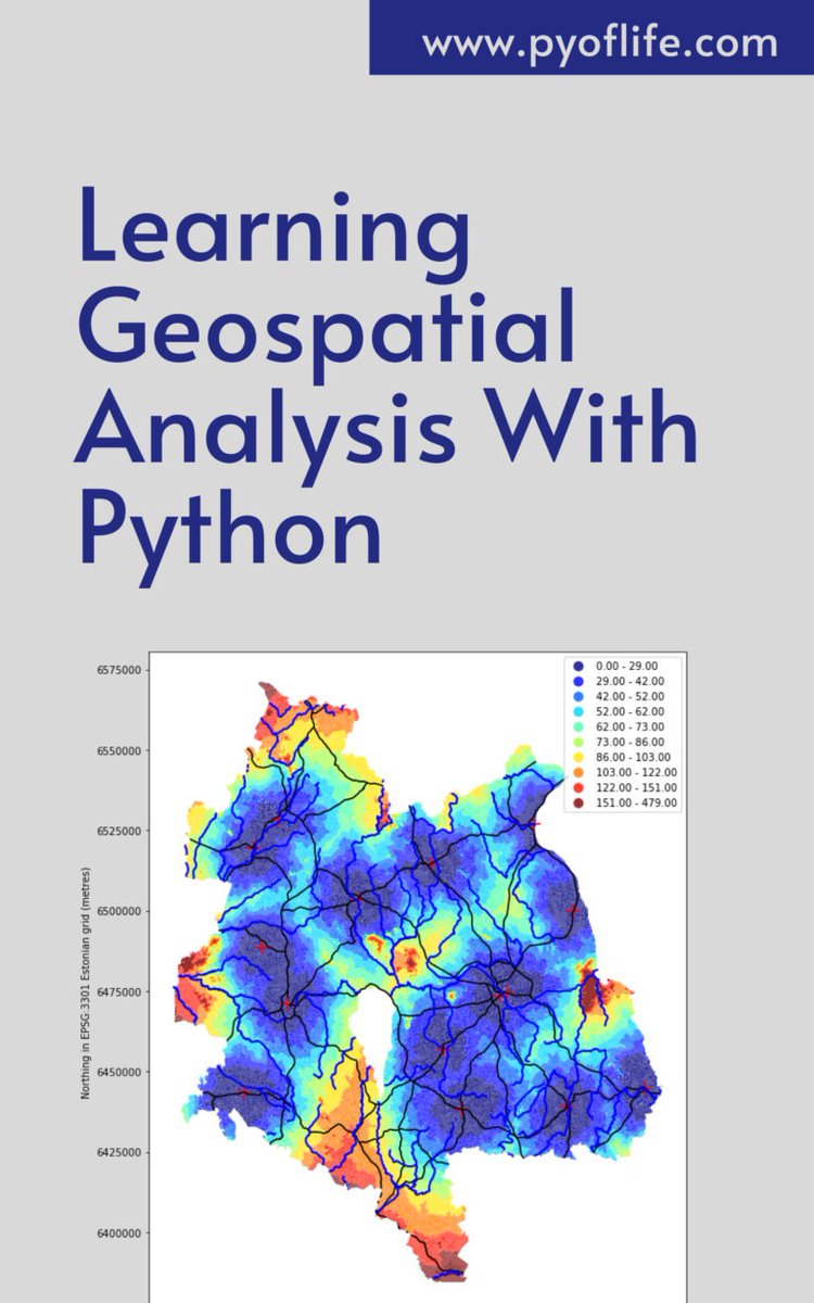
In a world increasingly reliant on data-driven decision-making, the realm of geospatial analysis stands as a beacon of insight, offering a unique perspective on our surroundings. pyoflife.com/learning-geosp… #DataScience #pythonprogramming #spatialanalysis #DataScientist #coding

🎉 Popular paper! 💧 "Analysis of Spatial and Temporal Evolution of Regional Water Resources Carrying Capacity and Influencing Factors—Anhui Province as an Example" Enjoy reading 🔗 brnw.ch/21wX5Qt #WaterResources #Ecology #SpatialAnalysis #CarryingCapacity


🗺️ Take your GIS skills to the next level with our GRASS GIS course! Learn advanced spatial analysis, geoprocessing, and environmental modelling with this powerful open-source software 🌍 Cardiff & Online 👉 computertrainingwales.co.uk/courses/comput… #GIS #GRASSGIS #SpatialAnalysis #Cardiff

Spatial data is essential in various fields like geography, environmental science, urban planning, and more. pyoflife.com/spatial-data-i… #DataScience #rstats #spatialanalysis #DataScientists #datavisualizations #datapattns #GeoEngineering #statisticalanalysis #statistics

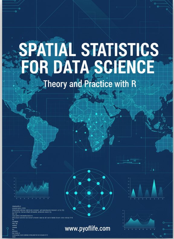
Spatial statistics is the branch of statistics that deals with data distributed in space or across geographic locations. pyoflife.com/spatial-statis… #DataScience #rstats #spatialanalysis #datascientists #datavisualizations #codinglife #DataAnalytics
Geographical Information Systems (GIS) are the backbone of spatial data analysis, transforming how we understand the world. From urban planning to disaster management, GIS enables smarter, data-driven decisions. Explore its endless potential! 🌍 #GIS #SpatialAnalysis


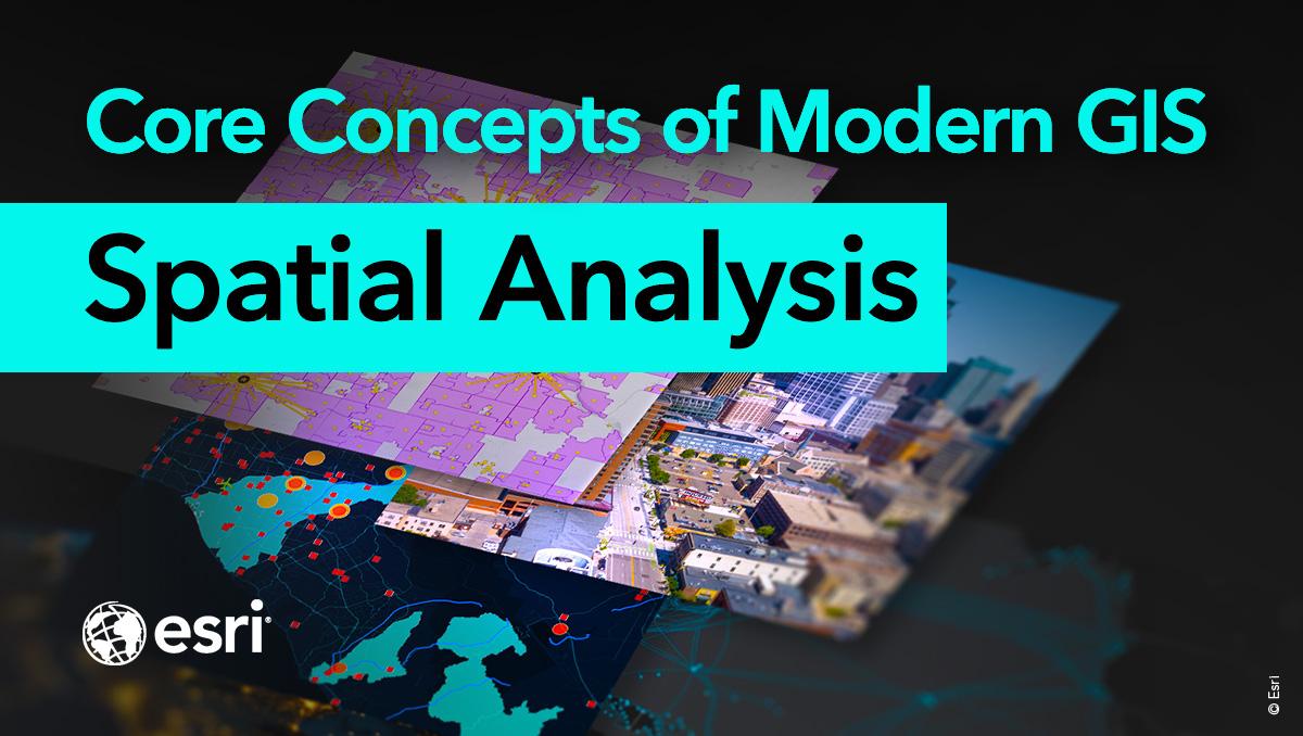
Spatial analysis is a core concept of modern GIS. It's a method of analyzing and interpreting data that contains a geographic or spatial component using #GIS and other tools. Use this resource for incorporating #spatialanalysis in your curriculum. ow.ly/bhO030sFB8B

Whether you're new to spatial analysis or looking to refine your skills, we have a guide to help you navigate this complex field. 📊 Download the guide today 👉 location.foursquare.com/resources/repo… #FoursquareStudio #geospatial #spatialanalysis

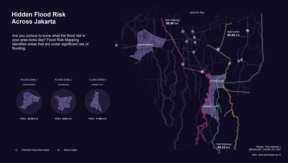
Hidden Flood Risk Across Jakarta. Are you curious to know what the flood risk in your area looks like? #Tableau #DataFam #SpatialAnalysis #Jakarta

✅Identify emerging hot spots ✅Explain why spatial trends occur ✅Predict how patterns will change Learn how to do all of the above (and more!) in our 3-day Spatial Analysis with ArcGIS Pro course: esri.social/UnaC50SpzjP @ArcGISPro #SpatialAnalysis #ArcGISPro

🌍 Want to unlock the power of spatial data? Join our 1-Day GRASS GIS Course in Bridgend — learn raster & vector, map making, terrain modelling & more with expert hands-on labs. Explore → computertrainingwales.co.uk/courses/comput… #GIS #GrassGIS #SpatialAnalysis #OpenSourceGIS


New preprint🚨 Using a Bayesian hierarchical spatial model, we identify regions at higher risk of pest introductions in the EU & UK. 🌍🌱 Southern Europe & the Netherlands are in the spotlight! 🌱Check it out: shorturl.at/PjQNX #PlantHealth #SpatialAnalysis #Research #Pests


Harness the Power of #GIS for #SpatialAnalysis. Join CPPR Academy's #OnlineCertificateCourse on "Survey Research and Data Visualization in Public Policy" Apply cppr.in/survey-researc… #OnlineCourse #PublicPolicy #Survey #PolicyEducation #PolicyResearch

GIS Day may be over, but don't let the GIS fun end! 🌐 Continue growing your GIS skills by registering for Esri's free spatial analysis MOOC: esri.social/TqCN50Ucg0h #GIS #ArcGIS #SpatialAnalysis

💭Want to learn about spatial analysis in a little over an hour? 💡Take this web course where you will explore the six categories of spatial analysis: ow.ly/i3bI50VrG4c #ArcGIS #GIS #SpatialAnalysis

Something went wrong.
Something went wrong.
United States Trends
- 1. $MAYHEM 3,663 posts
- 2. Villa 173K posts
- 3. Arteta 31.1K posts
- 4. Xavi 8,262 posts
- 5. #MeAndTheeSeriesEP4 1.42M posts
- 6. GAME DAY 32.1K posts
- 7. #AVLARS 13.6K posts
- 8. namjoon 160K posts
- 9. Saliba 13.2K posts
- 10. Good Saturday 33K posts
- 11. Odegaard 12.3K posts
- 12. The EU 452K posts
- 13. Unai Emery 14K posts
- 14. #Caturday 3,373 posts
- 15. Hincapie 11.2K posts
- 16. Gyokeres 15.3K posts
- 17. #COYS 1,464 posts
- 18. Sunderland 28K posts
- 19. Championship Saturday 4,884 posts
- 20. #AbuDhabiGP 94.4K posts