#spatialanalysis hasil pencarian

Editors: H. Rabiei (Dublin City Univ), M. Libório (Montes Claros SU), Prof C. Brunsdon (Maynooth). Topics: GWR/MGWR, raster & fuzzy models, reproducibility, visualization, geocomputational implementation, case studies. #SpatialAnalysis

🏥 New study of #InfoGeo reveals a spatiotemporal mismatch between COVID-19 vaccine rollout and vulnerable neighborhoods in San Diego. 💉 Targeted equity programs helped close the gap inform public health. doi.org/10.1016/j.infg… #COVID19 #SpatialAnalysis #HealthDisparities


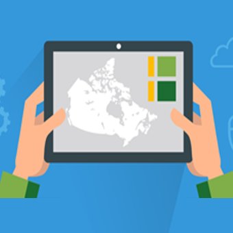
Spatial relationships are the foundation of spatial analysis. Without them, your map is just a collection of isolated dots. They give context, interaction, and meaning to data. #Geospatial #SpatialAnalysis #GIS #SpatialRelationships #SpatialDataScience #Mapping #SDGs

🎉 Popular paper! 💧 "Analysis of Spatial and Temporal Evolution of Regional Water Resources Carrying Capacity and Influencing Factors—Anhui Province as an Example" Enjoy reading 🔗 brnw.ch/21wX5Qt #WaterResources #Ecology #SpatialAnalysis #CarryingCapacity


Hello In this Tutorial youtu.be/WdTUh6j6yPU, learn how to subdivide complex polygon or line geometries in QGIS and convert the resulting multipart geometry into separate features using the “Multipart to Singleparts” tool. Thank you. #GIS #SpatialAnalysis #GISTips

youtube.com
YouTube
How to Subdivide and Convert Multipart to Single Parts in QGIS
🎉 Popular paper! 💧 "Analysis of Spatial and Temporal Evolution of Regional Water Resources Carrying Capacity and Influencing Factors—Anhui Province as an Example" Enjoy reading 🔗 brnw.ch/21wX5Qt #WaterResources #Ecology #SpatialAnalysis #CarryingCapacity
Hello In this Tutorial youtu.be/WdTUh6j6yPU, learn how to subdivide complex polygon or line geometries in QGIS and convert the resulting multipart geometry into separate features using the “Multipart to Singleparts” tool. Thank you. #GIS #SpatialAnalysis #GISTips
youtube.com
YouTube
How to Subdivide and Convert Multipart to Single Parts in QGIS
🏥 New study of #InfoGeo reveals a spatiotemporal mismatch between COVID-19 vaccine rollout and vulnerable neighborhoods in San Diego. 💉 Targeted equity programs helped close the gap inform public health. doi.org/10.1016/j.infg… #COVID19 #SpatialAnalysis #HealthDisparities
Editors: H. Rabiei (Dublin City Univ), M. Libório (Montes Claros SU), Prof C. Brunsdon (Maynooth). Topics: GWR/MGWR, raster & fuzzy models, reproducibility, visualization, geocomputational implementation, case studies. #SpatialAnalysis
Spatial relationships are the foundation of spatial analysis. Without them, your map is just a collection of isolated dots. They give context, interaction, and meaning to data. #Geospatial #SpatialAnalysis #GIS #SpatialRelationships #SpatialDataScience #Mapping #SDGs
The latest preprint by @DiogoGAndrade proposes a new method to extract tree-like structures from #3Dsurfaces for smarter #proceduralgeneration and #spatialanalysis. @ULusofona #PCG #computationalgeometry #games #computergames #videogames #steinertree arxiv.org/abs/2510.15886


Tutorial about Geospatial Analysis with Python for Beginners to Advanced Level, Part 1 Tutorial Link: youtube.com/live/rSUhBf7XN… #Python #SpatialAnalysis #Geospatial #GIS #RemoteSensing #Geoinformatics #DataScience #MachineLearning #DeepLearning #BigData #SpatialStatistics


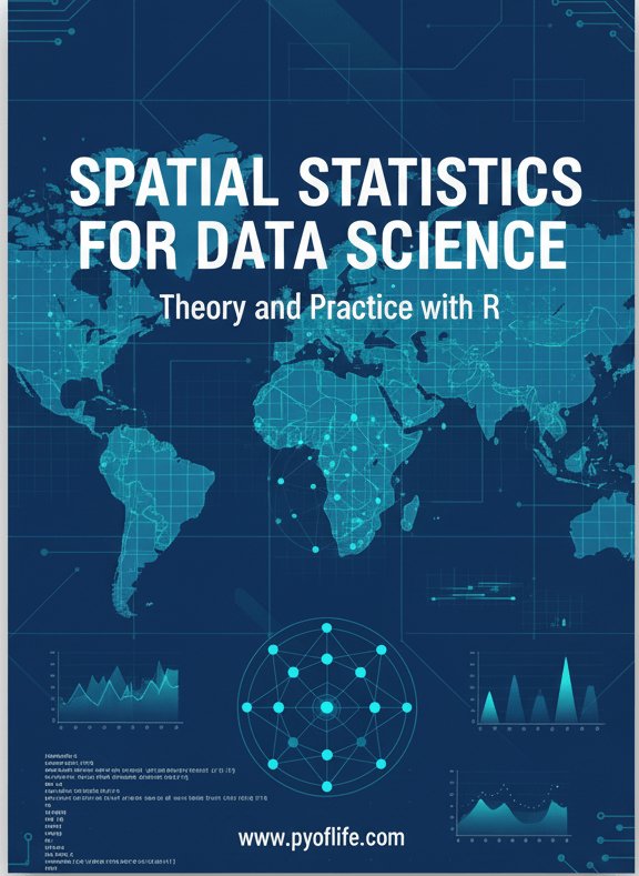
Spatial statistics is the branch of statistics that deals with data distributed in space or across geographic locations. pyoflife.com/spatial-statis… #DataScience #rstats #spatialanalysis #datascientists #datavisualizations #codinglife #DataAnalytics

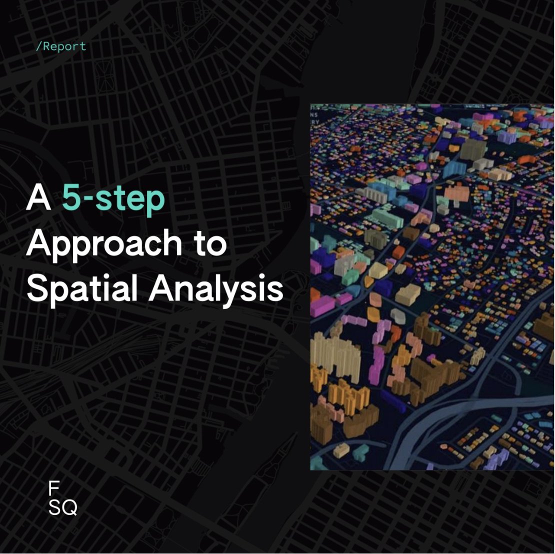
The concept of spatial analysis may sound overwhelming so we put together a 5-step approach for performing spatial analysis along with helpful tips and techniques for each step. Get the report 👉 location.foursquare.com/resources/repo… #spatialanalysis #locationintelligence
📢 Popular paper! 📖 Shaping Sustainable Cities: A Long-Term GIS-Emanated Spatial Analysis of Settlement Growth and Planning in a Coastal Mediterranean European City 🔗brnw.ch/21wW5h0 #GIS #SpatialAnalysis #UrbanSprawl #UrbanPlanning #LandUse


Happening Now! Our @NYUGSOM_Path Retreat! Organized by @01sth02 @CarlaTheNove @Feskelab #digitalpathology #AI #spatialanalysis #singlecell


SPEX: A modular end-to-end platform for high-plex tissue spatial omics analysis. #SpatialOmics #SingleCell #SpatialAnalysis @GigasSience academic.oup.com/gigascience/ar…


Geographic Information Systems (GIS) are the backbone of spatial data analysis, revolutionizing the way we understand the world. From urban planning to disaster management, GIS empowers data-driven decision-making. Explore its limitless potential! 🌍 #GIS #SpatialAnalysis

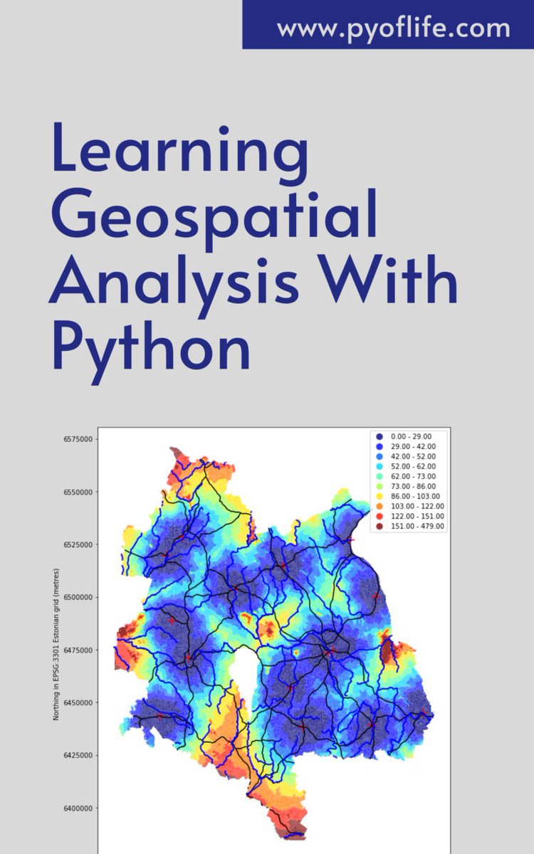
In a world increasingly reliant on data-driven decision-making, the realm of geospatial analysis stands as a beacon of insight, offering a unique perspective on our surroundings. pyoflife.com/learning-geosp… #DataScience #pythonprogramming #spatialanalysis #DataScientist #coding
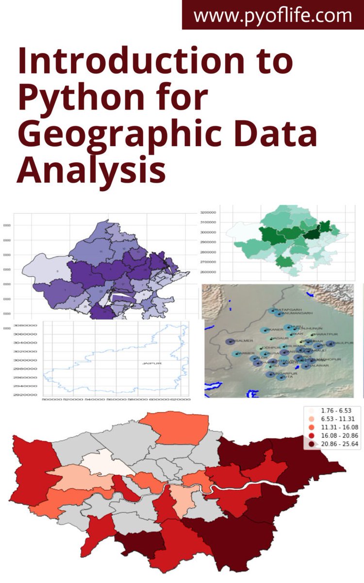
This book aims to introduce you to the basics of using Python for geographic data analysis, exploring the essential libraries, tools, and concepts. pyoflife.com/introduction-t… #DataScience #pythonprogramming #spatialanalysis #datavisualizations #dataAnalytics #datascientists

📌 Introduction to Spatial Analysis Spatial analysis is a crucial component of GIS that helps uncover hidden patterns and relationships in geographic data. Let's dive into some key techniques! #GIS #SpatialAnalysis 🌐📊


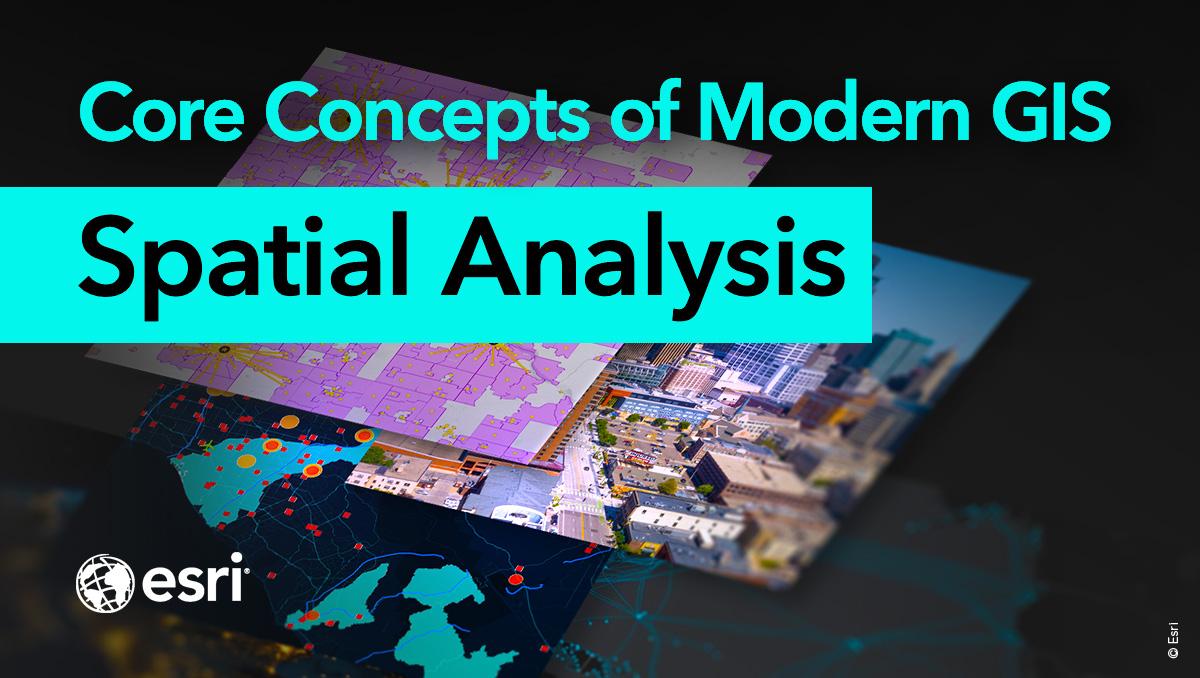
Spatial analysis is a core concept of modern GIS. It's a method of analyzing and interpreting data that contains a geographic or spatial component using #GIS and other tools. Use this resource for incorporating #spatialanalysis in your curriculum. ow.ly/bhO030sFB8B

✅Identify emerging hot spots ✅Explain why spatial trends occur ✅Predict how patterns will change Learn how to do all of the above (and more!) in our 3-day Spatial Analysis with ArcGIS Pro course: esri.social/UnaC50SpzjP @ArcGISPro #SpatialAnalysis #ArcGISPro

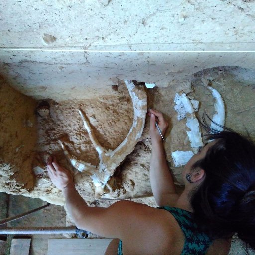
1/n Proud to have finally published this 2018 MSc. thesis by Lila Geis: #PLOSONE: Multiproxy analysis of Upper Palaeolithic lustrous gravels supports their anthropogenic use dx.plos.org/10.1371/journa… #spatialanalysis #roughness #Experimenting #morphology #colorimetry #Xcultural

It's MOOC opening day! And we couldn't be more excited.🤩 Join the course if you want to build #spatialanalysis skills and get free access to @ArcGISOnline. Register and join → esri.social/mtIx50QtFVR

Unlock the full potential of your spatial data. In this short video, discover intuitive ways to visualize and navigate Map Viewer in ArcGIS Online. Play the video → esri.social/58wV50QO64I #ArcGIS #GIS #SpatialAnalysis

Our (free) #spatialanalysis MOOC opens in 2 days & WE ARE PUMPED! 🙌 Sign up to join at esri.social/vVeg50Qte1W Already registered? Read this short blog and learn 5 quick tips for an awesome MOOC experience: esri.social/OghV50Qte9x

💭Want to learn about spatial analysis in a little over an hour? 💡Take this web course where you will explore the six categories of spatial analysis: ow.ly/i3bI50VrG4c #ArcGIS #GIS #SpatialAnalysis

Our ✨free✨ #spatialanalysis course is open and over 20,000 have joined us. 👏 If you're interested (+ you want receive free access to @ArcGISOnline), registration is open through February 7 at 11:59 p.m. PT: esri.social/lbaj50Qw79E

A great series of #k12 student presentations @esriuc showing us the power of #spatialanalysis, #mapping and what the future of #GIS looks like! @GeneralsPride #ArcGIS #RealWorldGIS #ArcGISPro #inquiry #futuregispros #decisionmakers #problemsolvers
Something went wrong.
Something went wrong.
United States Trends
- 1. Good Monday 28.9K posts
- 2. #RomanEmpireByBangChan 17.1K posts
- 3. ROMAN EMPIRE OUT NOW 14.5K posts
- 4. #MondayMotivation 27.1K posts
- 5. Jayden Daniels 26.1K posts
- 6. jungkook 575K posts
- 7. #STARDOM 5,444 posts
- 8. $KITE 4,346 posts
- 9. Dan Quinn 7,228 posts
- 10. Perle Labs 5,215 posts
- 11. 60 Minutes 82.6K posts
- 12. #River 7,321 posts
- 13. Seahawks 39.2K posts
- 14. Jake LaRavia 6,640 posts
- 15. Sam Darnold 15.4K posts
- 16. Commanders 51K posts
- 17. #RaiseHail 8,933 posts
- 18. Godzilla 47.8K posts
- 19. Snopes 3,513 posts
- 20. Bronny 16.1K posts