#spatialanalysis zoekresultaten

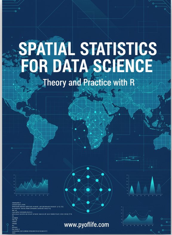
Spatial statistics is the branch of statistics that deals with data distributed in space or across geographic locations. pyoflife.com/spatial-statis… #DataScience #rstats #spatialanalysis #datascientists #datavisualizations #codinglife #DataAnalytics

Tutorial about Geospatial Analysis with Python for Beginners to Advanced Level, Part 1 Tutorial Link: youtube.com/live/rSUhBf7XN… #Python #SpatialAnalysis #Geospatial #GIS #RemoteSensing #Geoinformatics #DataScience #MachineLearning #DeepLearning #BigData #SpatialStatistics


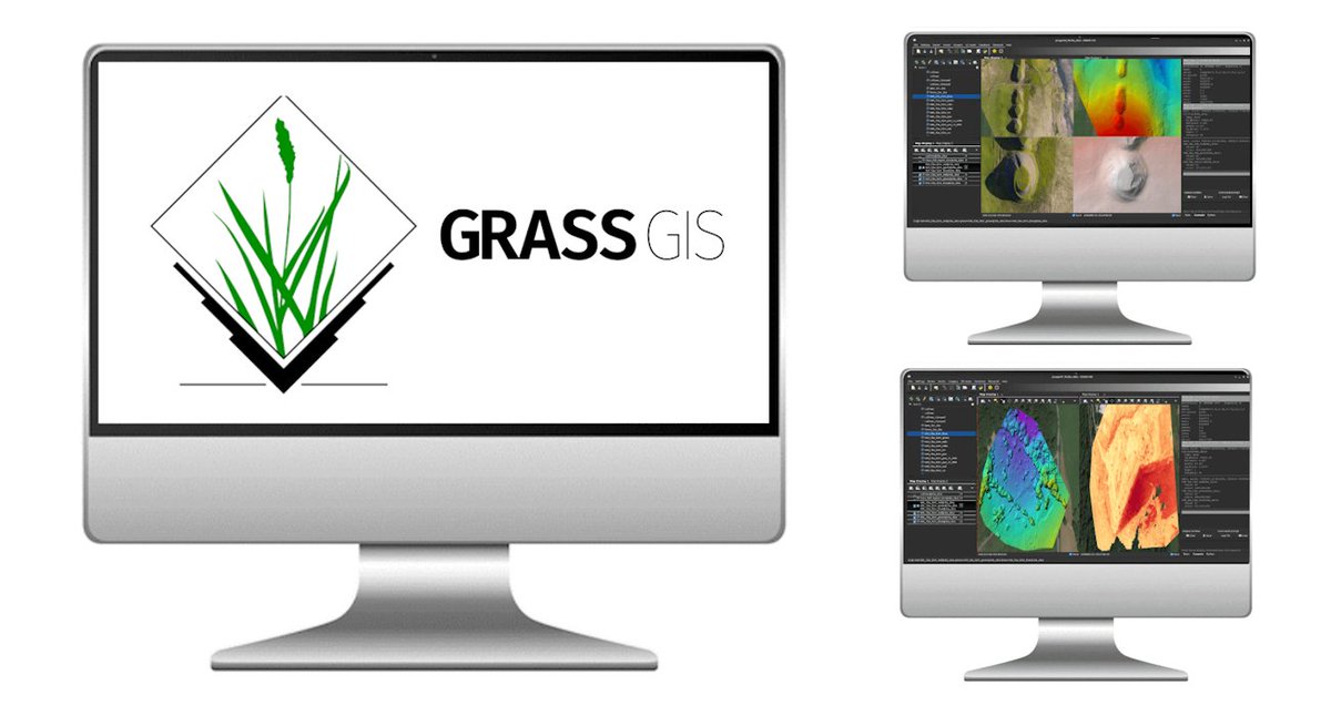
🗺️ Take your GIS skills to the next level with our GRASS GIS course! Learn advanced spatial analysis, geoprocessing, and environmental modelling with this powerful open-source software 🌍 Cardiff & Online 👉 computertrainingwales.co.uk/courses/comput… #GIS #GRASSGIS #SpatialAnalysis #Cardiff


Voronoi polygons that dynamically re-draw in-browser as you drag markers around your @Mapbox map. All with R code. This was a fun one to put together, so I'm sharing the code here for you to try: gist.github.com/walkerke/f4d6e… #rstats #gis #spatialanalysis

📢 Popular paper! 📖 Shaping Sustainable Cities: A Long-Term GIS-Emanated Spatial Analysis of Settlement Growth and Planning in a Coastal Mediterranean European City 🔗brnw.ch/21wW5h0 #GIS #SpatialAnalysis #UrbanSprawl #UrbanPlanning #LandUse


Geographic Information Systems (GIS) are the backbone of spatial data analysis, revolutionizing the way we understand the world. From urban planning to disaster management, GIS empowers data-driven decision-making. Explore its limitless potential! 🌍 #GIS #SpatialAnalysis


📌 Introduction to Spatial Analysis Spatial analysis is a crucial component of GIS that helps uncover hidden patterns and relationships in geographic data. Let's dive into some key techniques! #GIS #SpatialAnalysis 🌐📊


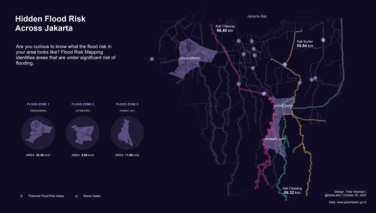
Hidden Flood Risk Across Jakarta. Are you curious to know what the flood risk in your area looks like? #Tableau #DataFam #SpatialAnalysis #Jakarta

SPEX: A modular end-to-end platform for high-plex tissue spatial omics analysis. #SpatialOmics #SingleCell #SpatialAnalysis @GigasSience academic.oup.com/gigascience/ar…

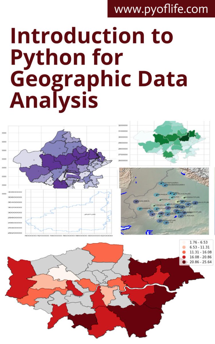
This book aims to introduce you to the basics of using Python for geographic data analysis, exploring the essential libraries, tools, and concepts. pyoflife.com/introduction-t… #DataScience #pythonprogramming #spatialanalysis #datavisualizations #dataAnalytics #datascientists
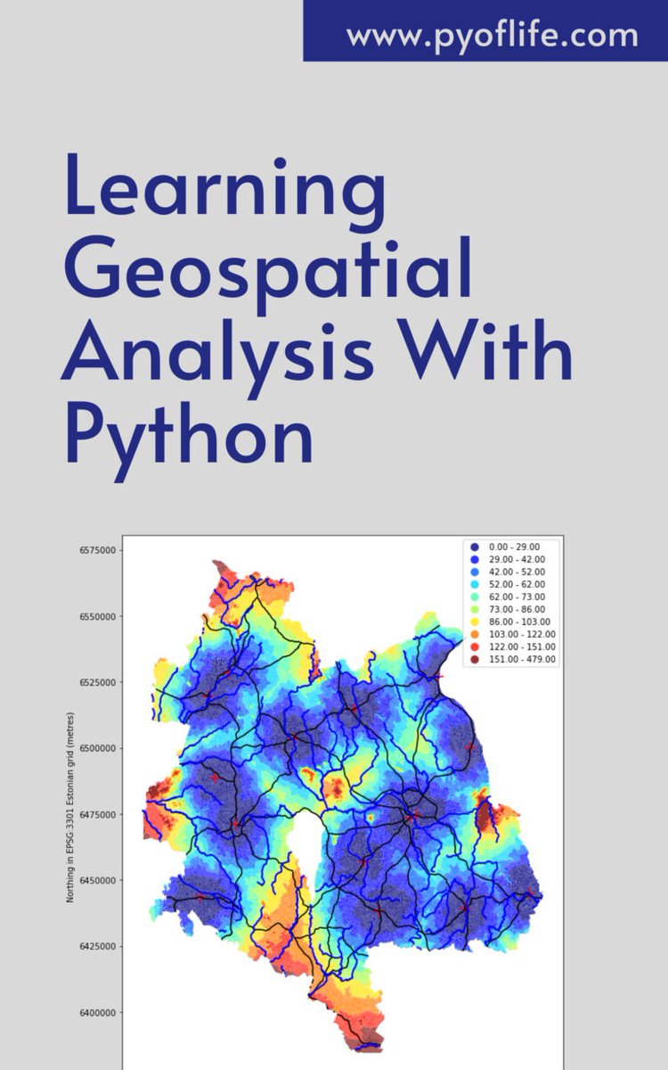
In a world increasingly reliant on data-driven decision-making, the realm of geospatial analysis stands as a beacon of insight, offering a unique perspective on our surroundings. pyoflife.com/learning-geosp… #DataScience #pythonprogramming #spatialanalysis #DataScientist #coding
Geographical Information Systems (GIS) are the backbone of spatial data analysis, transforming how we understand the world. From urban planning to disaster management, GIS enables smarter, data-driven decisions. Explore its endless potential! 🌍 #GIS #SpatialAnalysis


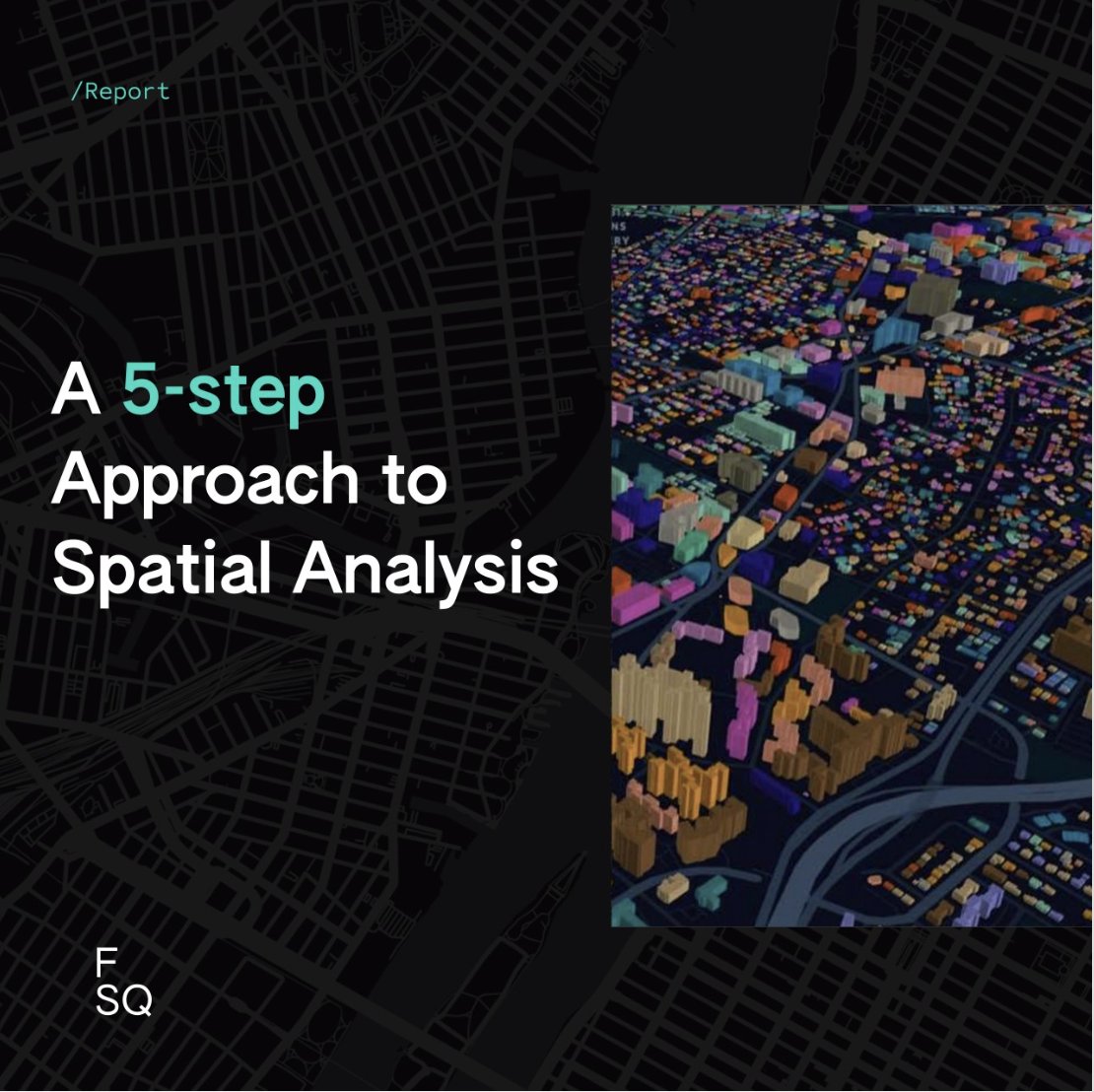
Whether you're new to spatial analysis or looking to refine your skills, we have a guide to help you navigate this complex field. 📊 Download the guide today 👉 location.foursquare.com/resources/repo… #FoursquareStudio #geospatial #spatialanalysis
🌍 Want to unlock the power of spatial data? Join our 1-Day GRASS GIS Course in Bridgend — learn raster & vector, map making, terrain modelling & more with expert hands-on labs. Explore → computertrainingwales.co.uk/courses/comput… #GIS #GrassGIS #SpatialAnalysis #OpenSourceGIS

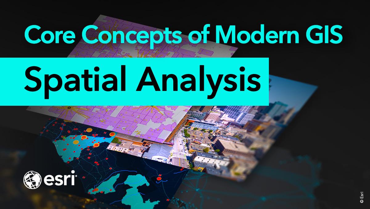
Spatial analysis is a core concept of modern GIS. It's a method of analyzing and interpreting data that contains a geographic or spatial component using #GIS and other tools. Use this resource for incorporating #spatialanalysis in your curriculum. ow.ly/bhO030sFB8B

🧠 Thinking about adding Comparative Historical Analysis or #SpatialAnalysis to your research toolkit? ✅ Now is a great time! #ecprms ✂️ Get £50 OFF these online methods courses until noon BST tomorrow 👉 Claim your discount ecpr.eu/signature-cour…


Honoured to contribute to Spatial Analysis – I: Spatial Dimensions in Design Thinking with my Chapter 5, “Eco-Capsules.” Thinking about mobile, ecological, nomadic spaces feels timely and meaningful. #SpatialAnalysis #EcoCapsules #Architecture #Sustainability #NomadicSpaces


🎉 Popular paper! 📃 "Graph Representation of the 15-Minute City: A Comparison between Rome, London, and Paris" 🔗 Enjoy reading: brnw.ch/21wWvLu #DigitalTwin #SpatialAnalysis #UrbanRegeneration #UrbanPlanning

🌍 Want to unlock the power of spatial data? Join our 1-Day GRASS GIS Course in Bridgend — learn raster & vector, map making, terrain modelling & more with expert hands-on labs. Explore → computertrainingwales.co.uk/courses/comput… #GIS #GrassGIS #SpatialAnalysis #OpenSourceGIS

From environmental risks to urban systems, they help transform raw data into reliable, evidence-based insights. #BayesianModeling #SpatialAnalysis #DataScience #Uncertainty #DecisionMaking #SDSSN

SF is turning streets into a “Big Art Loop” — 100 sculptures across neighborhoods. 🎨🚶♀️ Read it and tell me: which sculpture idea would change how you see your city or campus? sfchronicle.com/entertainment/… #SpatialAnalysis #CriticalThinking #smithengl1101atKSU

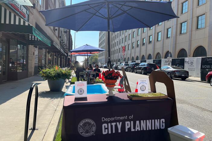
Atlanta turned parking spots into people spaces for a day. 🚗➡️🌳 Read: GPB on PARK(ing) Day. What detail made you rethink space for cars vs. people? gpb.org/news/2025/09/2… #SpatialAnalysis #smithengl1101atKSU
Public space = more than benches & sidewalks. 🌆 After reading this, what detail made you see your city differently? dirt.asla.org/2023/11/20/soc… #SpatialAnalysis #CriticalThinking #smithengl1101atKSU
dirt.asla.org
Socially Just Public Spaces Are Crucial to Flourishing Societies
By Grace Mitchell Tada One of the most radical instances of public space transformation happened recently. During the early months of the Covid-19 pandemic, public space transformed into “a medical…
Every space sends a message. 🏫☕️ What’s one space that reveals something about power, identity, or belonging? Describe it in one sharp line. 👀 #SpatialAnalysis #WritersObserve #smithengl1101atKSU

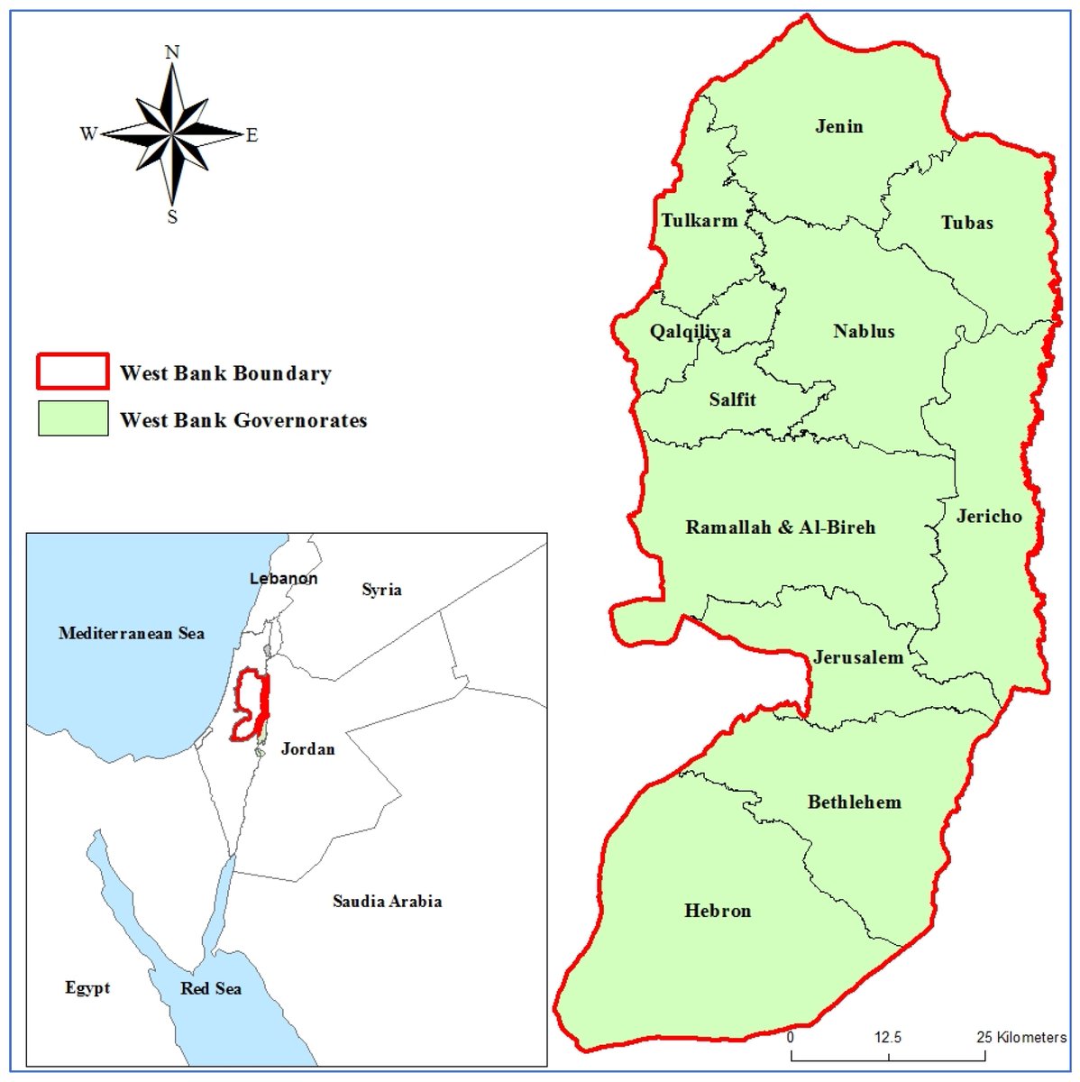
#Callforreading 📖 #SpatialAnalysis of #ClimateRisk in the West Bank, Palestine ✍ By Sandy Alawna and Xavier Garcia 🏘️ From @univgirona and @IcraWater 👉 mdpi.com/2673-4060/6/3/… #exposure #GISMCDA #vulnerability #WestBank
🌟 Popular Paper Alert! 📚 Relevance between Tourist Behavior and the Spatial Environment in Huizhou Traditional Villages—A Case Study of Pingshan Village, Yi County, China 🔗 Check it out here: brnw.ch/21wW7rX #GIS #SpatialAnalysis #TouristBehavior #Sustainability

📢 Popular paper! 📖 Shaping Sustainable Cities: A Long-Term GIS-Emanated Spatial Analysis of Settlement Growth and Planning in a Coastal Mediterranean European City 🔗brnw.ch/21wW5h0 #GIS #SpatialAnalysis #UrbanSprawl #UrbanPlanning #LandUse

Beyond borders! 🌐🗺️ Metaverse Territorial Scale redefines space—virtual territories shaped by code, power & user interactions. A new tool for digital spatial analysis! mdpi.com/2673-8392/5/3/… #Metaverse #DigitalGeography #SpatialAnalysis #VirtualReality #CyberSpace #Innovation


Spatial statistics is the branch of statistics that deals with data distributed in space or across geographic locations. pyoflife.com/spatial-statis… #DataScience #rstats #spatialanalysis #datascientists #datavisualizations #codinglife #DataAnalytics
Tutorial about Geospatial Analysis with Python for Beginners to Advanced Level, Part 1 Tutorial Link: youtube.com/live/rSUhBf7XN… #Python #SpatialAnalysis #Geospatial #GIS #RemoteSensing #Geoinformatics #DataScience #MachineLearning #DeepLearning #BigData #SpatialStatistics
📢 Popular paper! 📖 Shaping Sustainable Cities: A Long-Term GIS-Emanated Spatial Analysis of Settlement Growth and Planning in a Coastal Mediterranean European City 🔗brnw.ch/21wW5h0 #GIS #SpatialAnalysis #UrbanSprawl #UrbanPlanning #LandUse
🗺️ Take your GIS skills to the next level with our GRASS GIS course! Learn advanced spatial analysis, geoprocessing, and environmental modelling with this powerful open-source software 🌍 Cardiff & Online 👉 computertrainingwales.co.uk/courses/comput… #GIS #GRASSGIS #SpatialAnalysis #Cardiff
The concept of spatial analysis may sound overwhelming so we put together a 5-step approach for performing spatial analysis along with helpful tips and techniques for each step. Get the report 👉 location.foursquare.com/resources/repo… #spatialanalysis #locationintelligence

Happening Now! Our @NYUGSOM_Path Retreat! Organized by @01sth02 @CarlaTheNove @Feskelab #digitalpathology #AI #spatialanalysis #singlecell

SPEX: A modular end-to-end platform for high-plex tissue spatial omics analysis. #SpatialOmics #SingleCell #SpatialAnalysis @GigasSience academic.oup.com/gigascience/ar…
In a world increasingly reliant on data-driven decision-making, the realm of geospatial analysis stands as a beacon of insight, offering a unique perspective on our surroundings. pyoflife.com/learning-geosp… #DataScience #pythonprogramming #spatialanalysis #DataScientist #coding
This book aims to introduce you to the basics of using Python for geographic data analysis, exploring the essential libraries, tools, and concepts. pyoflife.com/introduction-t… #DataScience #pythonprogramming #spatialanalysis #datavisualizations #dataAnalytics #datascientists
Geographic Information Systems (GIS) are the backbone of spatial data analysis, revolutionizing the way we understand the world. From urban planning to disaster management, GIS empowers data-driven decision-making. Explore its limitless potential! 🌍 #GIS #SpatialAnalysis
Spatial analysis is a core concept of modern GIS. It's a method of analyzing and interpreting data that contains a geographic or spatial component using #GIS and other tools. Use this resource for incorporating #spatialanalysis in your curriculum. ow.ly/bhO030sFB8B

Introducing #Analysis Tools in #ArcGIS Scene Viewer tinyurl.com/4fc6jbwk #spatialanalysis #3D #geospatial #dataviz #GIS #esri #mapping @Esri @EsriFederalGovt @EsriSLGov @ArcGISOnline @URISA @Esri3D

📌 Introduction to Spatial Analysis Spatial analysis is a crucial component of GIS that helps uncover hidden patterns and relationships in geographic data. Let's dive into some key techniques! #GIS #SpatialAnalysis 🌐📊
Something went wrong.
Something went wrong.
United States Trends
- 1. Columbus 153K posts
- 2. President Trump 1.09M posts
- 3. Middle East 254K posts
- 4. Brian Callahan 8,636 posts
- 5. #IndigenousPeoplesDay 11K posts
- 6. Titans 39.8K posts
- 7. Thanksgiving 55.1K posts
- 8. Vrabel 7,175 posts
- 9. Seth 48.7K posts
- 10. Macron 214K posts
- 11. Cape Verde 9,336 posts
- 12. Marc 49.4K posts
- 13. #WWERaw 54.3K posts
- 14. HAZBINTOOZ 4,798 posts
- 15. Apple TV 5,440 posts
- 16. Shildt 2,701 posts
- 17. Darius Smith 3,779 posts
- 18. Sarah Strong 1,737 posts
- 19. #Isles 1,275 posts
- 20. Egypt 262K posts