#gissoftware search results

At Skate, we believe #landdata should be intelligent, accessible and connected. That’s why we’ve built a platform that unites #AImapping, #GISsoftware & #cloudhosting to simplify #surveying for every industry. Watch our video to learn more! #surveydata #surveying #SkateLandData

GeoDataLab Srls is coming to UK Construction Week Birmingham 2025! Discover advanced GIS & WebGIS solutions for urban planning, agriculture & infrastructure projects. 📍Visit Stand G112, 30 Sept-2 Oct at NEC. Free tickets: zurl.co/gGdxZ #GeoDataLab #GISSoftware


5️⃣ ArcGIS: Step into the world of proprietary GIS with ArcGIS. This comprehensive software allows ecologists to create, edit, analyze, and share geospatial data. Unleash your mapping and spatial analysis capabilities! 🗺️💡 #ArcGIS #GISSoftware


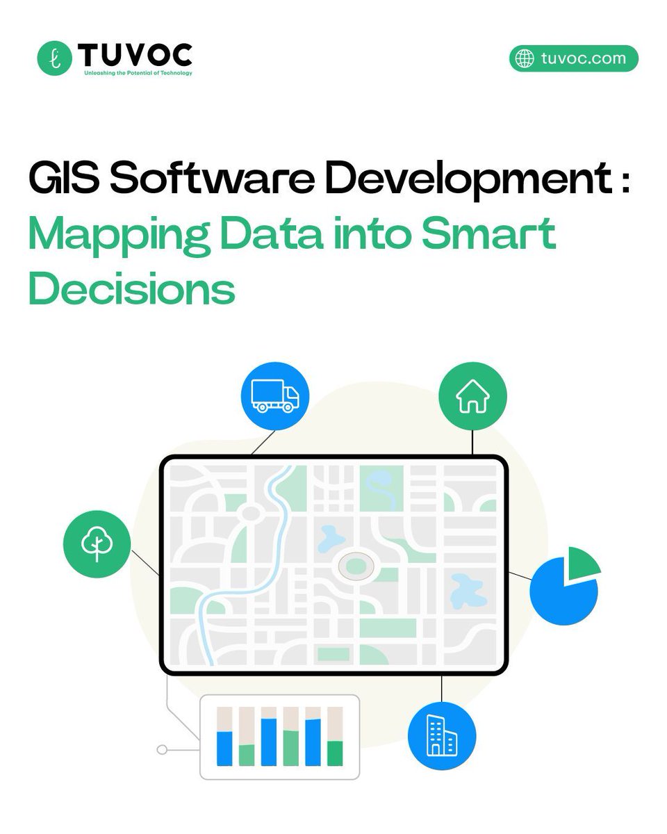
𝐄𝐯𝐞𝐫𝐲 𝐜𝐨𝐨𝐫𝐝𝐢𝐧𝐚𝐭𝐞 𝐭𝐞𝐥𝐥𝐬 𝐚 𝐬𝐭𝐨𝐫𝐲 🌍 At Tuvoc Technologies, we use GIS software to turn maps into insights and data into smarter decisions. Let’s unlock the power of spatial intelligence #GISSoftware #DataVisualization #TechInnovation


We’re having an outstanding time at the @Esri User Conf. in San Diego, CA! Our team is at Booth #231. Learn how our AI-Driven Custom #GISSoftware solutions can give you a competitive edge, reduce overhead costs, and increase revenue. bit.ly/3xZzT6t. #EsriUC2024

A new Qt Academy Partner Learning Path created by @Esri is now open for enrollment: Exploring with ArcGIS Maps SDK for Qt! 🎓 Enroll in our FREE sponsored course today: hubs.li/Q02bBWcM0 #elearning #GIS #GISsoftware #learninganddevelopment #freecourses


🛒 Category: Geo Softwares, Manual 📍 Available now at GeoStore by Geoinfotech 📞 To place your order, call: +234 813 410 1202 +234 901 196 5526 🌐 Visit: geoinfotech.ng #ArcGIS #GISSoftware #GeospatialTech #GeoStore #MappingSolutions #Geoinfotech #GISManual #Tech


View what matters to you. 🔎 With Citywide GIS, you can digitize your spatial data and create custom maps to track your assets effectively. Discover Citywide GIS: psdcitywide.com/solutions/gis-… #GIS #data #GISsoftware


Where can I find graduates with GIS software experience in London? I have a job that needs to be urgently filled! #geography #GISsoftware #postgraduates

🌐 GIS software shaping geography: A powerful tool in our tech lab for spatial analysis and mapping applications. #GISSoftware #TechLabSpatial

@TrimbleCorpNews and @Esri are extending their longstanding partnership to collaborate on geographic information system (GIS) software, location intelligence and mapping 🤝 More details here: bit.ly/3W1NQZw #GISsoftware #ESRI #Trimble

Map your asset data with Citywide GIS to enhance infrastructure planning capabilities, communication and visibility. Share information such as road, park and trail statuses with your citizens to keep them informed. Learn more:hubs.ly/Q037b6B40 #CitywideGIS #GISSoftware

Attention #GIS professionals! Do you want to turn your municipal datasets into interactive story maps? Join us May 10th to learn how to create media-rich Story Maps. Register now 👉 tinyurl.com/kw3hty95 #webmapping #GISsoftware #Storymaps #geospatial #datavisualization


#CADsoftware #GISsoftware #CAD #GIS #SIG #autocad #Bricscad #zwcad #caddesign #scannedimages #technicaldrawings #raster #vector #vetor #vetorizar #R2V #engenharia #arquitetura #engineeringdrawings #map #mapa #geospatialanalysis #geomapping

#GISSoftware Innovator #VertiGIS Acquires Fellow Location-Intelligence Company #ibR - bit.ly/3L4IqrV | #technews #technology #futuretech #AI #IT #Cloud #security
expresscomputer.in
GIS Software Innovator VertiGIS Acquires Fellow Location-Intelligence Company ibR - Express Computer
VertiGIS, a leading solution provider and software developer in the field of geographic information systems (GIS) and spatial asset management, announced it has acquired ibR Gesellschaft für Geoinf...

What are your initial thoughts on software choices and data sources? #IndusValleyProject #GISSoftware #DataAcquisition
Is your municipality leveraging the full potential of GIS and Asset Management integration? Understand their distinct roles and the benefits of their synergy in this article: hubs.ly/Q039Whpy0 #GIS #GeographicalInformationSystem #GISSoftware

𝐄𝐯𝐞𝐫𝐲 𝐜𝐨𝐨𝐫𝐝𝐢𝐧𝐚𝐭𝐞 𝐭𝐞𝐥𝐥𝐬 𝐚 𝐬𝐭𝐨𝐫𝐲 🌍 At Tuvoc Technologies, we use GIS software to turn maps into insights and data into smarter decisions. Let’s unlock the power of spatial intelligence #GISSoftware #DataVisualization #TechInnovation
GeoDataLab Srls is coming to UK Construction Week Birmingham 2025! Discover advanced GIS & WebGIS solutions for urban planning, agriculture & infrastructure projects. 📍Visit Stand G112, 30 Sept-2 Oct at NEC. Free tickets: zurl.co/gGdxZ #GeoDataLab #GISSoftware

🤔Check out this Article: A One-Dimensional Blocking Index Becomes Two-Dimensional Using GIS Technology 🎓by Prof. Lupo et al., from University of Missouri, USA 🗒️Read more: brnw.ch/21wU3QO #blockingonset; #GISsoftware; #blockintensity
What are your initial thoughts on software choices and data sources? #IndusValleyProject #GISSoftware #DataAcquisition
💡Interesting Article: A One-Dimensional Blocking Index Becomes Two-Dimensional Using GIS Technology 🎓by Prof. Lupo et al., from University of Missouri, USA 🔗Read more: brnw.ch/21wSHag #blockingonset; #GISsoftware; #blockintensity; #blockpersistence #twodimensional
🛒 Category: Geo Softwares, Manual 📍 Available now at GeoStore by Geoinfotech 📞 To place your order, call: +234 813 410 1202 +234 901 196 5526 🌐 Visit: geoinfotech.ng #ArcGIS #GISSoftware #GeospatialTech #GeoStore #MappingSolutions #Geoinfotech #GISManual #Tech
Is your municipality leveraging the full potential of GIS and Asset Management integration? Understand their distinct roles and the benefits of their synergy in this article: hubs.ly/Q039Whpy0 #GIS #GeographicalInformationSystem #GISSoftware
Map your asset data with Citywide GIS to enhance infrastructure planning capabilities, communication and visibility. Share information such as road, park and trail statuses with your citizens to keep them informed. Learn more:hubs.ly/Q037b6B40 #CitywideGIS #GISSoftware

GIS における人工知能 | 地理空間 AI #GeospatialAI #ArtificialIntelligenceGIS #GISsoftware #OperationalPerformance prompthub.info/98549/
prompthub.info
GIS における人工知能 | 地理空間 AI - プロンプトハブ
Summary in Japanese: - GISソフトウェアにAIを組み込むことで、複雑な問題を解決する鍵

Top 10 GIS Tools & Software 🔹 ArcGIS 🔹 QGIS 🔹 Google Earth Engine 🔹 MapInfo Professional 🔹 GRASS GIS 🔹 GeoMedia 🔹 CartoDB 🔹 ERDAS Imagine 🔹 PostGIS 🔹 Bentley Map 💡 Enhance your spatial analysis with these top GIS tools! #GISTools #GISSoftware #SkylanIT

ఫాస్ట్ ట్యాగ్ కు బై బై.. జాతీయ రహదారులపై కొత్త టెక్నాలజీ #nhai #GISsoftware #tollplaza nirdhesham.com/nhai-installs-…

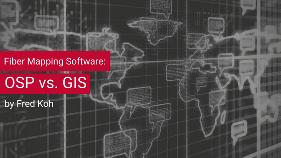
With an OSP solution in place, engineers can run queries on the data they’ve collected, which can help them make decisions about their infrastructure. Read it: graphicalnetworks.com/blog-fiber-map… #OSP #FiberPlant #GISSoftware #ARCGIS #FiberMap #FiberStrand
We’re having an outstanding time at the @Esri User Conf. in San Diego, CA! Our team is at Booth #231. Learn how our AI-Driven Custom #GISSoftware solutions can give you a competitive edge, reduce overhead costs, and increase revenue. bit.ly/3xZzT6t. #EsriUC2024
@TrimbleCorpNews and @Esri are extending their longstanding partnership to collaborate on geographic information system (GIS) software, location intelligence and mapping 🤝 More details here: bit.ly/3W1NQZw #GISsoftware #ESRI #Trimble


GRASS GIS 7.2.0 Released! @GRASSGIS #GIS #GISSoftware #geospatial #geonews #opensource goo.gl/o1CFNf


SuperMap GIS 9D online help is available now #GISSoftware #OnlineHelp #SuperMap supermap.com/en/html/Online…

SuperMap GIS 11i(2022) Product Brochure is now available! Check the latest advances in SuperMap GIS: supermap.com/en-us/upLoad/n… #SuperMap #GIS #gissoftware #gischat

GeoDataLab Srls is coming to UK Construction Week Birmingham 2025! Discover advanced GIS & WebGIS solutions for urban planning, agriculture & infrastructure projects. 📍Visit Stand G112, 30 Sept-2 Oct at NEC. Free tickets: zurl.co/gGdxZ #GeoDataLab #GISSoftware
【Upcoming Events】 The 2021 SuperMap Developer Conference (SDC) will be held online from September 15 to 18, 2021. SDC is aimed at providing a platform for geographic information developers and technology enthusiasts to share ideas. #supermap #gis #gissoftware #gistechnology


#Call4papers Our New Special Issue "GIS Software and Engineering for Big Data" is online now! Edited by Prof. Dr. Peng Yue, Prof. Dr. Danielle Ziebelin and Dr. Yaxing Wei. Submissions Deadline 31 December 2019. More Details👉mdpi.com/si/18877 #BigData #GISsoftware

5️⃣ ArcGIS: Step into the world of proprietary GIS with ArcGIS. This comprehensive software allows ecologists to create, edit, analyze, and share geospatial data. Unleash your mapping and spatial analysis capabilities! 🗺️💡 #ArcGIS #GISSoftware
The 2021 SuperMap Developer Conference (SDC) will be held online since tomorrow. We will share some industry reports on the conference later. Click here to learn more about the conference topics: linkedin.com/feed/update/ur… #gis #gissoftware #gistechnology #geospatial #supermap

@Avenza Releases MAPublisher 10.1 For Adobe Illustrator #GIS #GISSoftware #geospatial #GeoNews goo.gl/eAycsL


Perform rapid and accurate edge matching using GeoMedia Desktop. #GISsoftware #GeoMedia #FridayMotivation


Mapping question of the day 💭: Let's discuss what tools we use to make our maps. There's never been a better time to access free #GISsoftware and tools online to help you create maps - including Soar.Earth. So, what do you use? 👀


“Fast and reliable internet access is not only essential for our business processes, it is also a critical requirement of much of the GIS technology embedded in our applications” bit.ly/t-net-neutrali… #netneutrality #gis #gissoftware #globalmapper #bluemarble #bluemarblegeo

With GeoMedia WebMap you can deploy interactive Web GIS portals with powerful capabilities usually found in Desktop GIS software. #osl #webgis #gissoftware #feelgoodfriday


We are delighted and proud to have received the Cornerstone Partner Award from @esriuk – the world’s leading provider of Geographic Information Systems (GIS) software - at the 2021 Esri Business Partner Conference. #GIS #GISsoftware #awards


@Amour_Nyalusi kicking off #GIS training by introducing participants to #QGIS as an alternative to other proprietary #GISsoftware that requires licenses! #Mwanza #maps #FOSS #OpenData #resilietcities @SpatialCollect @hotosm @RamaniHuria


#GlobalMapper is a cutting-edge #GISsoftware that provides a comprehensive array of spatial data processing tools, with access to an unparalleled variety of data formats. Download a trial today! ow.ly/7zdR50FBpY5

【Technology】 SuperMap has proposed a concept of CIM development support platform against the need of attempts at CIM platform upgrading. Explore the platform here: supermap.com/en-us/news/?82… #gis #SuperMap #gissoftware #CIM #3D #smartcity

Something went wrong.
Something went wrong.
United States Trends
- 1. Caleb Love 2,037 posts
- 2. Sengun 8,296 posts
- 3. Mamdani 429K posts
- 4. Reed Sheppard 3,375 posts
- 5. #SmackDown 43.3K posts
- 6. Norvell 3,353 posts
- 7. Lando 37.9K posts
- 8. Marjorie Taylor Greene 61.2K posts
- 9. Rockets 16.3K posts
- 10. Collin Gillespie 3,196 posts
- 11. Florida State 10.7K posts
- 12. Suns 16.3K posts
- 13. #OPLive 2,505 posts
- 14. NC State 5,632 posts
- 15. Blazers 3,373 posts
- 16. Timberwolves 9,829 posts
- 17. #LasVegasGP 62.4K posts
- 18. Booker 7,385 posts
- 19. Finch 2,819 posts
- 20. Jabari 1,897 posts