#spatialanalysis zoekresultaten

🔍 Data meets geography! 📖 Explore the studies ↓ 1️⃣ bmjpublichealth.bmj.com/content/3/2/e0… 2️⃣ link.springer.com/article/10.100… @ICMRDELHI @DeptHealthRes #DigitalHealth #GIS #SpatialAnalysis #WeAreICMR


Spatial statistics is the branch of statistics that deals with data distributed in space or across geographic locations. pyoflife.com/spatial-statis… #DataScience #rstats #spatialanalysis #datascientists #datavisualizations #codinglife #DataAnalytics

Tutorial about Geospatial Analysis with Python for Beginners to Advanced Level, Part 1 Tutorial Link: youtube.com/live/rSUhBf7XN… #Python #SpatialAnalysis #Geospatial #GIS #RemoteSensing #Geoinformatics #DataScience #MachineLearning #DeepLearning #BigData #SpatialStatistics


📌 Introduction to Spatial Analysis Spatial analysis is a crucial component of GIS that helps uncover hidden patterns and relationships in geographic data. Let's dive into some key techniques! #GIS #SpatialAnalysis 🌐📊


Geographic Information Systems (GIS) are the backbone of spatial data analysis, revolutionizing the way we understand the world. From urban planning to disaster management, GIS empowers data-driven decision-making. Explore its limitless potential! 🌍 #GIS #SpatialAnalysis


Voronoi polygons that dynamically re-draw in-browser as you drag markers around your @Mapbox map. All with R code. This was a fun one to put together, so I'm sharing the code here for you to try: gist.github.com/walkerke/f4d6e… #rstats #gis #spatialanalysis

📢 Popular paper! 📖 Shaping Sustainable Cities: A Long-Term GIS-Emanated Spatial Analysis of Settlement Growth and Planning in a Coastal Mediterranean European City 🔗brnw.ch/21wW5h0 #GIS #SpatialAnalysis #UrbanSprawl #UrbanPlanning #LandUse

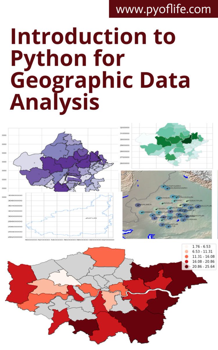
This book aims to introduce you to the basics of using Python for geographic data analysis, exploring the essential libraries, tools, and concepts. pyoflife.com/introduction-t… #DataScience #pythonprogramming #spatialanalysis #datavisualizations #dataAnalytics #datascientists
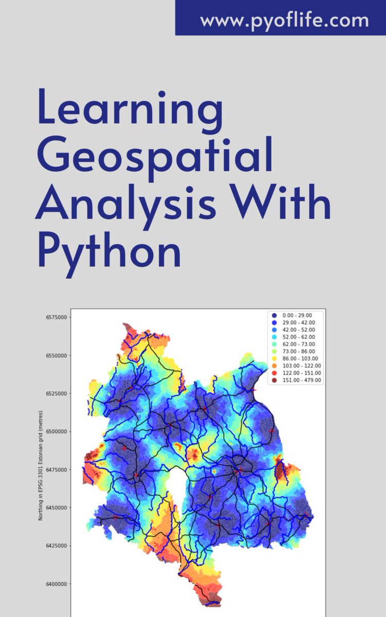
In a world increasingly reliant on data-driven decision-making, the realm of geospatial analysis stands as a beacon of insight, offering a unique perspective on our surroundings. pyoflife.com/learning-geosp… #DataScience #pythonprogramming #spatialanalysis #DataScientist #coding
Geographical Information Systems (GIS) are the backbone of spatial data analysis, transforming how we understand the world. From urban planning to disaster management, GIS enables smarter, data-driven decisions. Explore its endless potential! 🌍 #GIS #SpatialAnalysis


🧬 Exciting New #SpatialAnalysis Tool! 🧬 🚀 Introducing PRISM: A powerful Python package for the interactive and integrated analysis of multiplexed tissue microarrays! biorxiv.org/content/10.110…


Whether you're new to spatial analysis or looking to refine your skills, we have a guide to help you navigate this complex field. 📊 Download the guide today 👉 location.foursquare.com/resources/repo… #FoursquareStudio #geospatial #spatialanalysis

🗺️ Take your GIS skills to the next level with our GRASS GIS course! Learn advanced spatial analysis, geoprocessing, and environmental modelling with this powerful open-source software 🌍 Cardiff & Online 👉 computertrainingwales.co.uk/courses/comput… #GIS #GRASSGIS #SpatialAnalysis #Cardiff


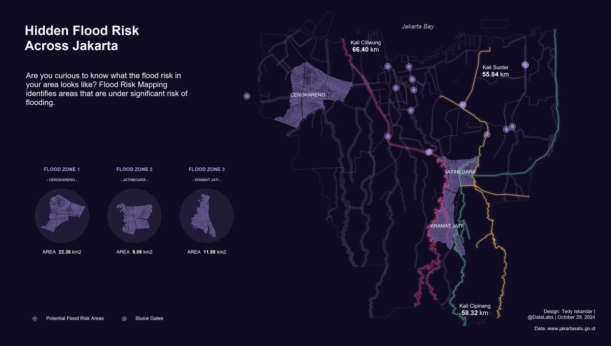
Hidden Flood Risk Across Jakarta. Are you curious to know what the flood risk in your area looks like? #Tableau #DataFam #SpatialAnalysis #Jakarta
Spatial data is essential in various fields like geography, environmental science, urban planning, and more. pyoflife.com/spatial-data-i… #DataScience #rstats #spatialanalysis #DataScientists #datavisualizations #datapattns #GeoEngineering #statisticalanalysis #statistics


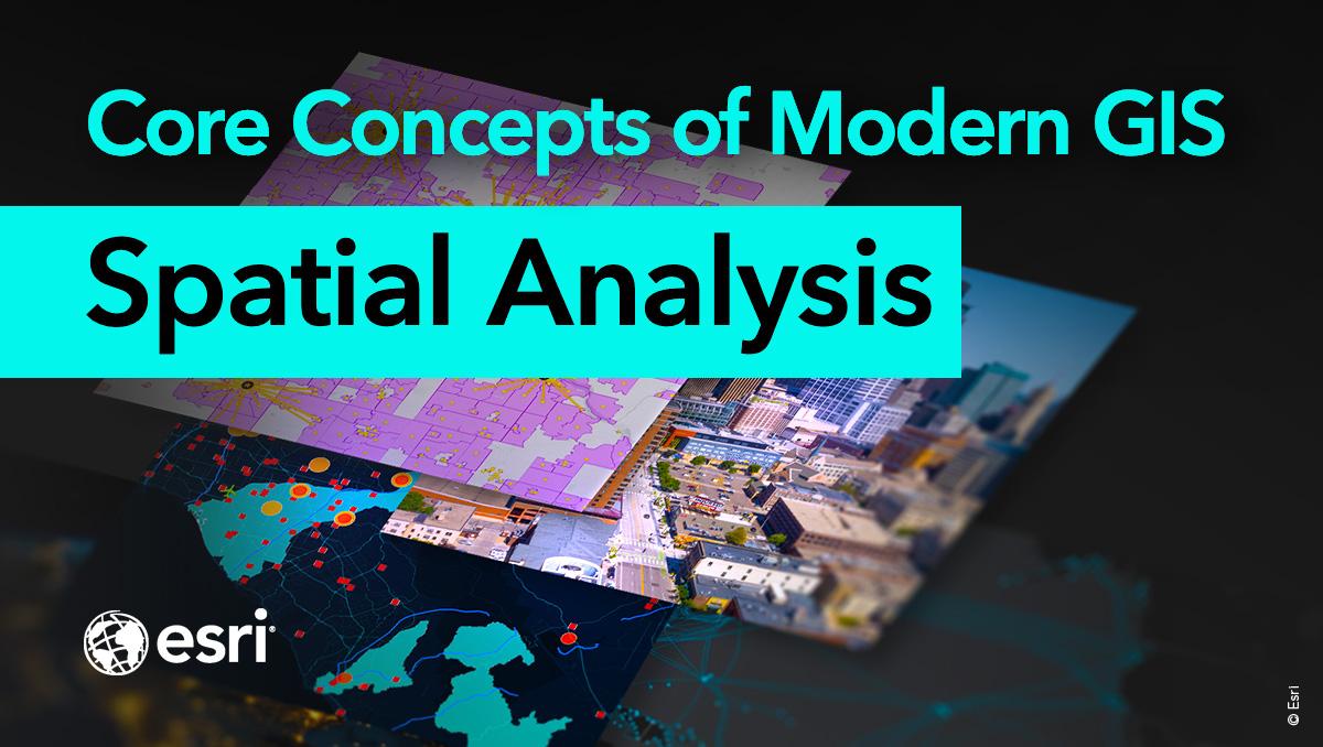
Spatial analysis is a core concept of modern GIS. It's a method of analyzing and interpreting data that contains a geographic or spatial component using #GIS and other tools. Use this resource for incorporating #spatialanalysis in your curriculum. ow.ly/bhO030sFB8B

✅Identify emerging hot spots ✅Explain why spatial trends occur ✅Predict how patterns will change Learn how to do all of the above (and more!) in our 3-day Spatial Analysis with ArcGIS Pro course: esri.social/UnaC50SpzjP @ArcGISPro #SpatialAnalysis #ArcGISPro


🛰️ Map Source: MySpace Tech INT'L | ArcGIS Pro #GIS #Urbanization #SpatialAnalysis #EkitiState #ArcGISPro
🛰️ Map Source: MySpace Tech INT'L | ArcGIS Pro #GIS #Urbanization #SpatialAnalysis #EkitiState #ArcGISPro

🗓️ Day 7: Accessibility Map — Ekiti State Hotel Service Area 🏨 This map illustrates hotel accessibility across Ekiti State using service area analysis (10km, 20km, 30km). Created with ArcGIS Pro, it helps visualize how road networks influence hotel access and tourism planning.

🔍 Data meets geography! 📖 Explore the studies ↓ 1️⃣ bmjpublichealth.bmj.com/content/3/2/e0… 2️⃣ link.springer.com/article/10.100… @ICMRDELHI @DeptHealthRes #DigitalHealth #GIS #SpatialAnalysis #WeAreICMR

💡 Next time you see a map full of data, remember: Geary’s C helps uncover the hidden patterns beneath! #SpatialAnalysis #GearyC #DataScience #GIS #SpatialStatistics #Research #UrbanPlanning #PublicHealth #SpatialData
🎉 Popular paper! 💧 "Analysis of Spatial and Temporal Evolution of Regional Water Resources Carrying Capacity and Influencing Factors—Anhui Province as an Example" Enjoy reading 🔗 brnw.ch/21wX5Qt #WaterResources #Ecology #SpatialAnalysis #CarryingCapacity


Hello In this Tutorial youtu.be/WdTUh6j6yPU, learn how to subdivide complex polygon or line geometries in QGIS and convert the resulting multipart geometry into separate features using the “Multipart to Singleparts” tool. Thank you. #GIS #SpatialAnalysis #GISTips

youtube.com
YouTube
How to Subdivide and Convert Multipart to Single Parts in QGIS


🔍 Data meets geography! 📖 Explore the studies ↓ 1️⃣ bmjpublichealth.bmj.com/content/3/2/e0… 2️⃣ link.springer.com/article/10.100… @ICMRDELHI @DeptHealthRes #DigitalHealth #GIS #SpatialAnalysis #WeAreICMR
Something went wrong.
Something went wrong.
United States Trends
- 1. Bills 115K posts
- 2. Jonathan Taylor 20.7K posts
- 3. Falcons 31.3K posts
- 4. Colts 52.4K posts
- 5. Dolphins 20.1K posts
- 6. Henderson 7,485 posts
- 7. Diggs 7,057 posts
- 8. Browns 23.7K posts
- 9. Kyle Williams 5,387 posts
- 10. Daniel Jones 10K posts
- 11. Joe Brady 1,853 posts
- 12. Jaxson Dart 3,805 posts
- 13. Penix 11K posts
- 14. Dillon Gabriel 1,587 posts
- 15. Parker Washington 2,785 posts
- 16. Justin Fields 1,793 posts
- 17. #Bears 3,281 posts
- 18. Drake Maye 6,936 posts
- 19. Pats 9,046 posts
- 20. JJ McCarthy 1,701 posts