#spatialanalysis search results

Tutorial about Geospatial Analysis with Python for Beginners to Advanced Level, Part 1 Tutorial Link: youtube.com/live/rSUhBf7XN… #Python #SpatialAnalysis #Geospatial #GIS #RemoteSensing #Geoinformatics #DataScience #MachineLearning #DeepLearning #BigData #SpatialStatistics


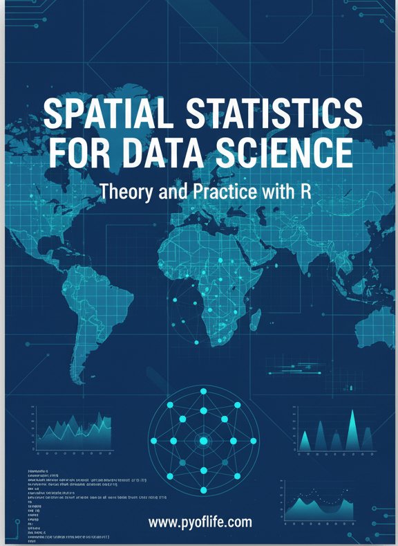
Spatial statistics is the branch of statistics that deals with data distributed in space or across geographic locations. pyoflife.com/spatial-statis… #DataScience #rstats #spatialanalysis #datascientists #datavisualizations #codinglife #DataAnalytics

SPEX: A modular end-to-end platform for high-plex tissue spatial omics analysis. #SpatialOmics #SingleCell #SpatialAnalysis @GigasSience academic.oup.com/gigascience/ar…


Geographic Information Systems (GIS) are the backbone of spatial data analysis, revolutionizing the way we understand the world. From urban planning to disaster management, GIS empowers data-driven decision-making. Explore its limitless potential! 🌍 #GIS #SpatialAnalysis


📢 Popular paper! 📖 Shaping Sustainable Cities: A Long-Term GIS-Emanated Spatial Analysis of Settlement Growth and Planning in a Coastal Mediterranean European City 🔗brnw.ch/21wW5h0 #GIS #SpatialAnalysis #UrbanSprawl #UrbanPlanning #LandUse


📌 Introduction to Spatial Analysis Spatial analysis is a crucial component of GIS that helps uncover hidden patterns and relationships in geographic data. Let's dive into some key techniques! #GIS #SpatialAnalysis 🌐📊


Voronoi polygons that dynamically re-draw in-browser as you drag markers around your @Mapbox map. All with R code. This was a fun one to put together, so I'm sharing the code here for you to try: gist.github.com/walkerke/f4d6e… #rstats #gis #spatialanalysis

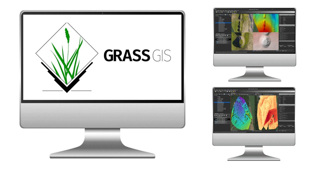
🌍 Want to unlock the power of spatial data? Join our 1-Day GRASS GIS Course in Bridgend — learn raster & vector, map making, terrain modelling & more with expert hands-on labs. Explore → computertrainingwales.co.uk/courses/comput… #GIS #GrassGIS #SpatialAnalysis #OpenSourceGIS


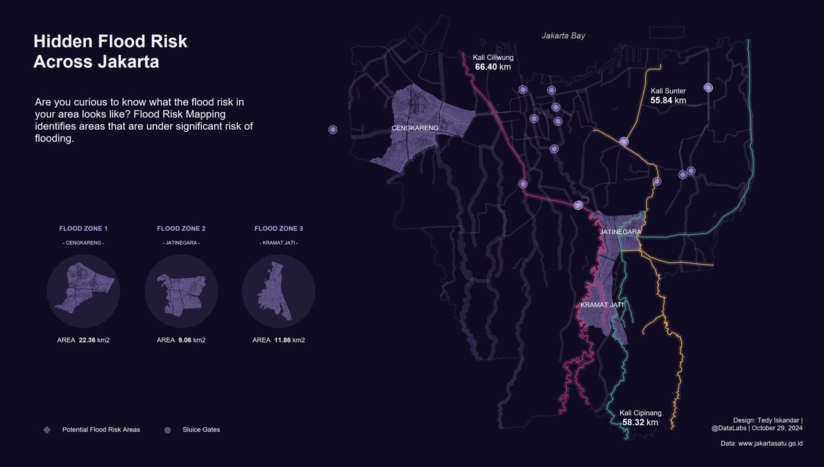
Hidden Flood Risk Across Jakarta. Are you curious to know what the flood risk in your area looks like? #Tableau #DataFam #SpatialAnalysis #Jakarta
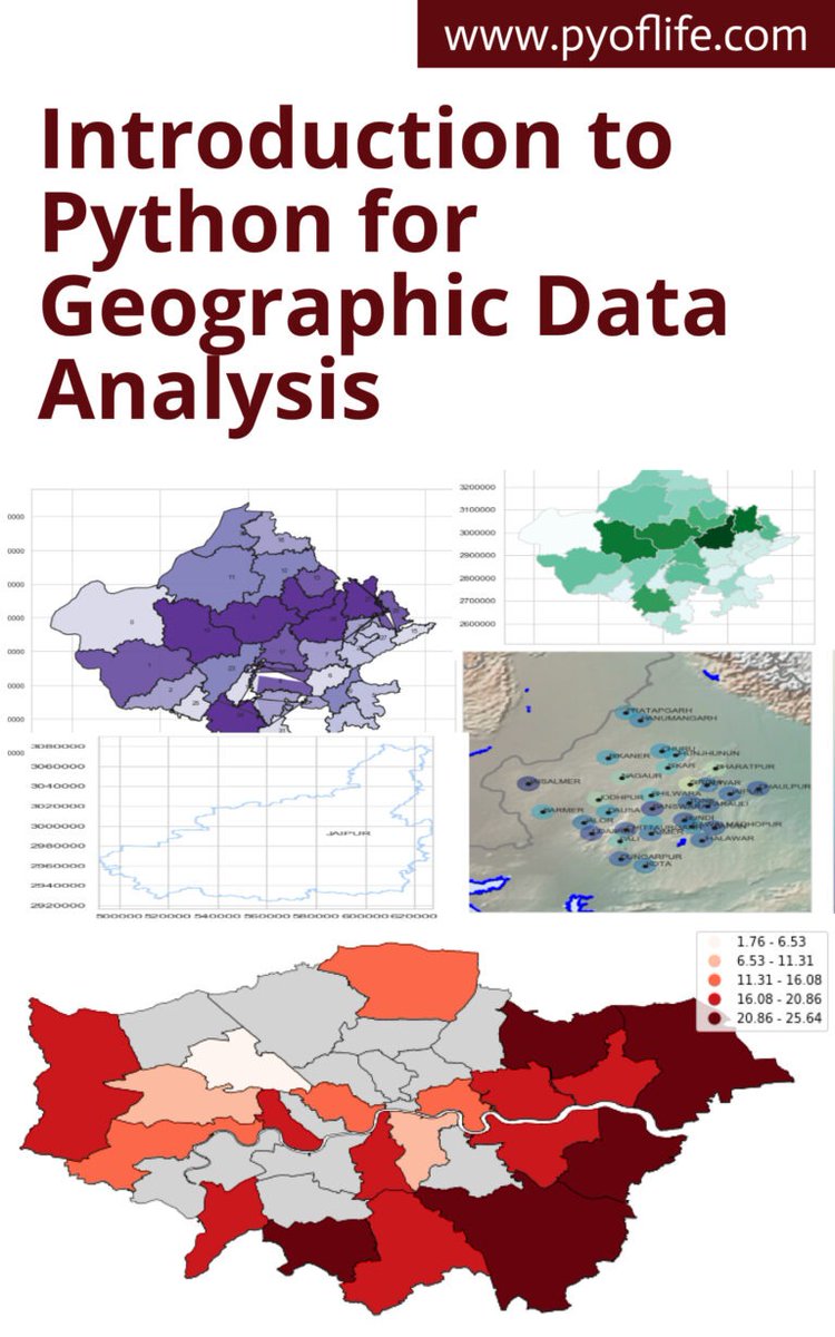
This book aims to introduce you to the basics of using Python for geographic data analysis, exploring the essential libraries, tools, and concepts. pyoflife.com/introduction-t… #DataScience #pythonprogramming #spatialanalysis #datavisualizations #dataAnalytics #datascientists
Geographical Information Systems (GIS) are the backbone of spatial data analysis, transforming how we understand the world. From urban planning to disaster management, GIS enables smarter, data-driven decisions. Explore its endless potential! 🌍 #GIS #SpatialAnalysis

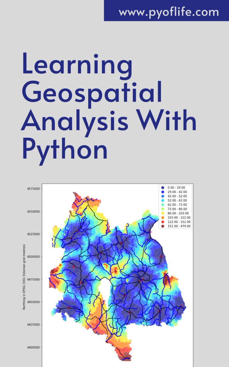
In a world increasingly reliant on data-driven decision-making, the realm of geospatial analysis stands as a beacon of insight, offering a unique perspective on our surroundings. pyoflife.com/learning-geosp… #DataScience #pythonprogramming #spatialanalysis #DataScientist #coding

Whether you're new to spatial analysis or looking to refine your skills, we have a guide to help you navigate this complex field. 📊 Download the guide today 👉 location.foursquare.com/resources/repo… #FoursquareStudio #geospatial #spatialanalysis
Spatial data is essential in various fields like geography, environmental science, urban planning, and more. pyoflife.com/spatial-data-i… #DataScience #rstats #spatialanalysis #DataScientists #datavisualizations #datapattns #GeoEngineering #statisticalanalysis #statistics

🗺️ Take your GIS skills to the next level with our GRASS GIS course! Learn advanced spatial analysis, geoprocessing, and environmental modelling with this powerful open-source software 🌍 Cardiff & Online 👉 computertrainingwales.co.uk/courses/comput… #GIS #GRASSGIS #SpatialAnalysis #Cardiff


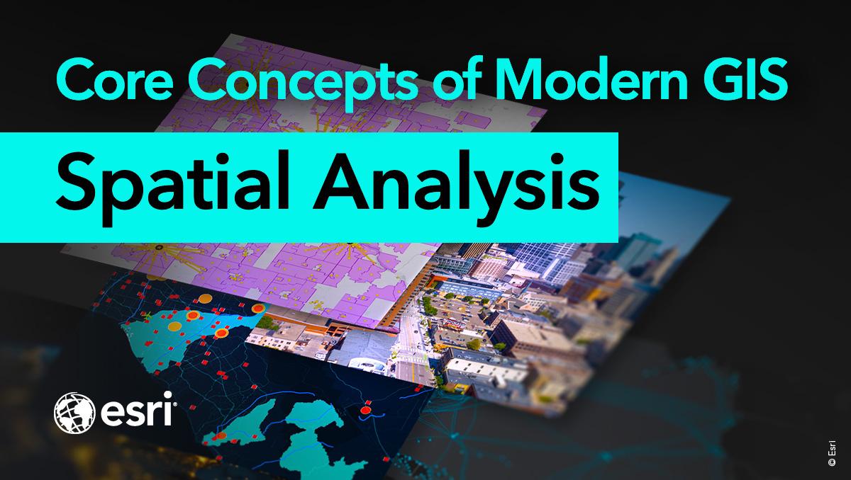
Spatial analysis is a core concept of modern GIS. It's a method of analyzing and interpreting data that contains a geographic or spatial component using #GIS and other tools. Use this resource for incorporating #spatialanalysis in your curriculum. ow.ly/bhO030sFB8B
🌍 Want to unlock the power of spatial data? Join our 1-Day GRASS GIS Course in Bridgend — learn raster & vector, map making, terrain modelling & more with expert hands-on labs. Explore → computertrainingwales.co.uk/courses/comput… #GIS #GrassGIS #SpatialAnalysis #OpenSourceGIS

✅Identify emerging hot spots ✅Explain why spatial trends occur ✅Predict how patterns will change Learn how to do all of the above (and more!) in our 3-day Spatial Analysis with ArcGIS Pro course: esri.social/UnaC50SpzjP @ArcGISPro #SpatialAnalysis #ArcGISPro


Introducing #Analysis Tools in #ArcGIS Scene Viewer tinyurl.com/4fc6jbwk #spatialanalysis #3D #geospatial #dataviz #GIS #esri #mapping @Esri @EsriFederalGovt @EsriSLGov @ArcGISOnline @URISA @Esri3D


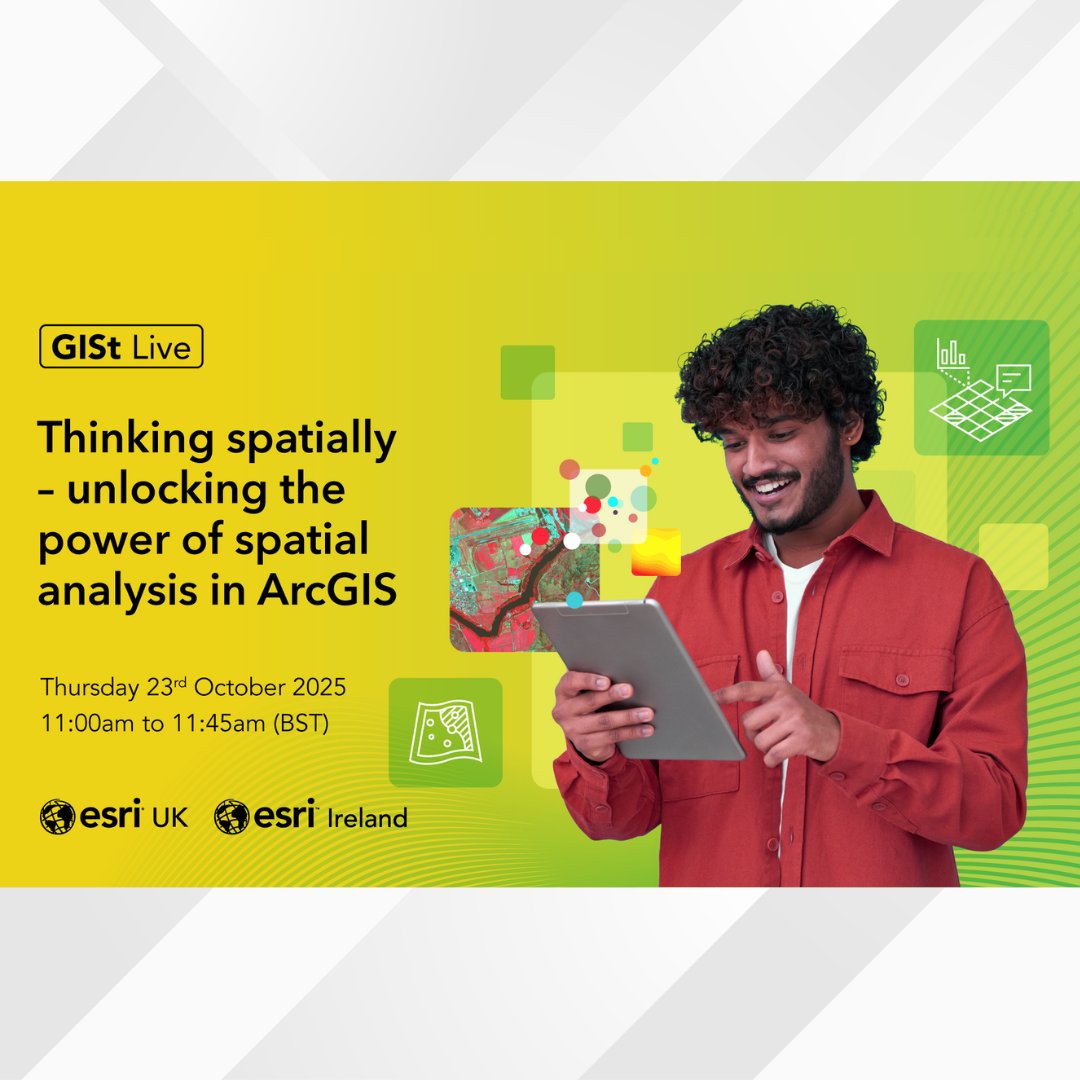
Join our #Webinar on Oct 23rd and discover how location intelligence can reveal insights that traditional analysis might miss!📣 Get inspired to think and solve problems spatially🌍 Register now: ow.ly/MIZm50XcfJe #SpatialAnalysis #LocationIntelligence #ArcGIS #Mapping
🌍 Want to unlock the power of spatial data? Join our 1-Day GRASS GIS Course in Bridgend — learn raster & vector, map making, terrain modelling & more with expert hands-on labs. Explore → computertrainingwales.co.uk/courses/comput… #GIS #GrassGIS #SpatialAnalysis #OpenSourceGIS

In the demanding world of Agriculture, Forestry, Fishing and Hunting, particularly within Forestry and Logging, the ability to make informed decisions quickly and accurately is paramount. #SatelliteBasedRemoteSensing #SpatialAnalysis #GeographicInformationSystem


Honoured to contribute to Spatial Analysis – I: Spatial Dimensions in Design Thinking with my Chapter 5, “Eco-Capsules.” Thinking about mobile, ecological, nomadic spaces feels timely and meaningful. #SpatialAnalysis #EcoCapsules #Architecture #Sustainability #NomadicSpaces


🎉 Popular paper! 📃 "Graph Representation of the 15-Minute City: A Comparison between Rome, London, and Paris" 🔗 Enjoy reading: brnw.ch/21wWvLu #DigitalTwin #SpatialAnalysis #UrbanRegeneration #UrbanPlanning

🌍 Want to unlock the power of spatial data? Join our 1-Day GRASS GIS Course in Bridgend — learn raster & vector, map making, terrain modelling & more with expert hands-on labs. Explore → computertrainingwales.co.uk/courses/comput… #GIS #GrassGIS #SpatialAnalysis #OpenSourceGIS

From environmental risks to urban systems, they help transform raw data into reliable, evidence-based insights. #BayesianModeling #SpatialAnalysis #DataScience #Uncertainty #DecisionMaking #SDSSN

SF is turning streets into a “Big Art Loop” — 100 sculptures across neighborhoods. 🎨🚶♀️ Read it and tell me: which sculpture idea would change how you see your city or campus? sfchronicle.com/entertainment/… #SpatialAnalysis #CriticalThinking #smithengl1101atKSU

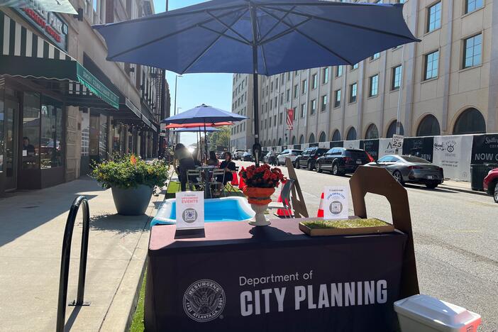
Atlanta turned parking spots into people spaces for a day. 🚗➡️🌳 Read: GPB on PARK(ing) Day. What detail made you rethink space for cars vs. people? gpb.org/news/2025/09/2… #SpatialAnalysis #smithengl1101atKSU
Public space = more than benches & sidewalks. 🌆 After reading this, what detail made you see your city differently? dirt.asla.org/2023/11/20/soc… #SpatialAnalysis #CriticalThinking #smithengl1101atKSU
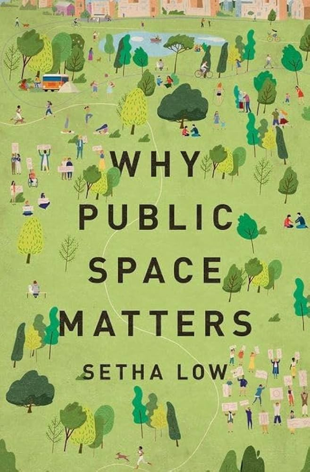
Every space sends a message. 🏫☕️ What’s one space that reveals something about power, identity, or belonging? Describe it in one sharp line. 👀 #SpatialAnalysis #WritersObserve #smithengl1101atKSU

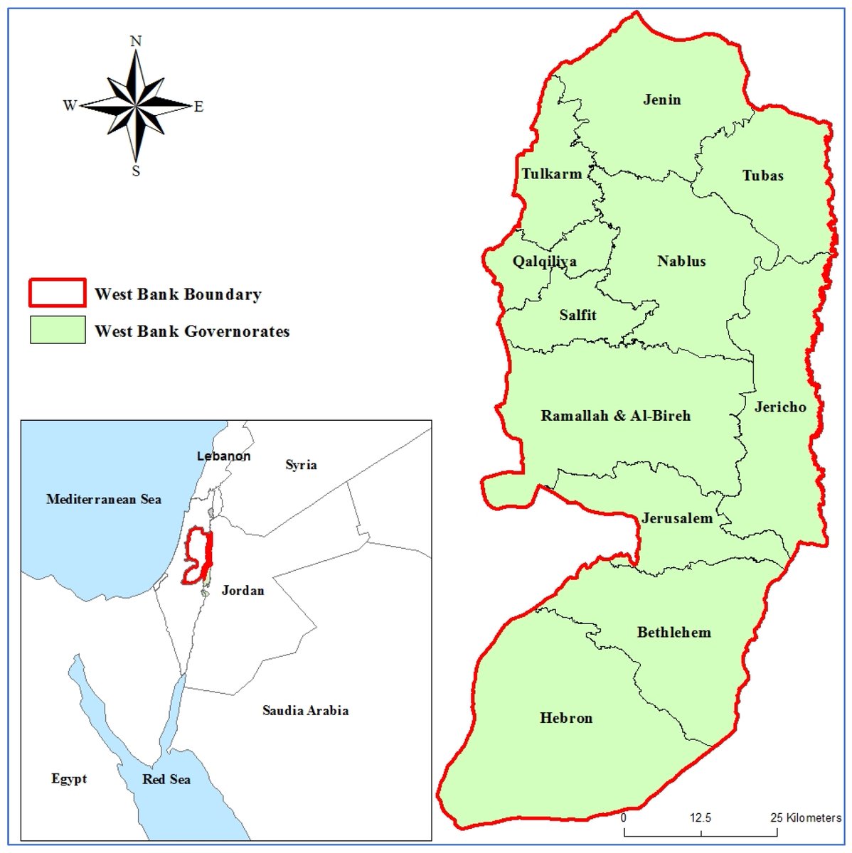
#Callforreading 📖 #SpatialAnalysis of #ClimateRisk in the West Bank, Palestine ✍ By Sandy Alawna and Xavier Garcia 🏘️ From @univgirona and @IcraWater 👉 mdpi.com/2673-4060/6/3/… #exposure #GISMCDA #vulnerability #WestBank
🌟 Popular Paper Alert! 📚 Relevance between Tourist Behavior and the Spatial Environment in Huizhou Traditional Villages—A Case Study of Pingshan Village, Yi County, China 🔗 Check it out here: brnw.ch/21wW7rX #GIS #SpatialAnalysis #TouristBehavior #Sustainability


Spatial statistics is the branch of statistics that deals with data distributed in space or across geographic locations. pyoflife.com/spatial-statis… #DataScience #rstats #spatialanalysis #datascientists #datavisualizations #codinglife #DataAnalytics
Tutorial about Geospatial Analysis with Python for Beginners to Advanced Level, Part 1 Tutorial Link: youtube.com/live/rSUhBf7XN… #Python #SpatialAnalysis #Geospatial #GIS #RemoteSensing #Geoinformatics #DataScience #MachineLearning #DeepLearning #BigData #SpatialStatistics
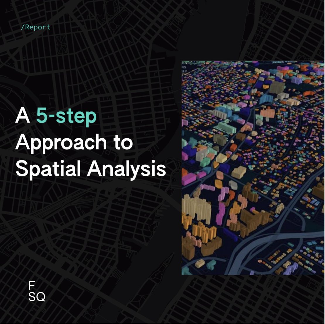
The concept of spatial analysis may sound overwhelming so we put together a 5-step approach for performing spatial analysis along with helpful tips and techniques for each step. Get the report 👉 location.foursquare.com/resources/repo… #spatialanalysis #locationintelligence

Happening Now! Our @NYUGSOM_Path Retreat! Organized by @01sth02 @CarlaTheNove @Feskelab #digitalpathology #AI #spatialanalysis #singlecell

📢 Popular paper! 📖 Shaping Sustainable Cities: A Long-Term GIS-Emanated Spatial Analysis of Settlement Growth and Planning in a Coastal Mediterranean European City 🔗brnw.ch/21wW5h0 #GIS #SpatialAnalysis #UrbanSprawl #UrbanPlanning #LandUse
SPEX: A modular end-to-end platform for high-plex tissue spatial omics analysis. #SpatialOmics #SingleCell #SpatialAnalysis @GigasSience academic.oup.com/gigascience/ar…
In a world increasingly reliant on data-driven decision-making, the realm of geospatial analysis stands as a beacon of insight, offering a unique perspective on our surroundings. pyoflife.com/learning-geosp… #DataScience #pythonprogramming #spatialanalysis #DataScientist #coding
Geographic Information Systems (GIS) are the backbone of spatial data analysis, revolutionizing the way we understand the world. From urban planning to disaster management, GIS empowers data-driven decision-making. Explore its limitless potential! 🌍 #GIS #SpatialAnalysis
This book aims to introduce you to the basics of using Python for geographic data analysis, exploring the essential libraries, tools, and concepts. pyoflife.com/introduction-t… #DataScience #pythonprogramming #spatialanalysis #datavisualizations #dataAnalytics #datascientists
Spatial analysis is a core concept of modern GIS. It's a method of analyzing and interpreting data that contains a geographic or spatial component using #GIS and other tools. Use this resource for incorporating #spatialanalysis in your curriculum. ow.ly/bhO030sFB8B
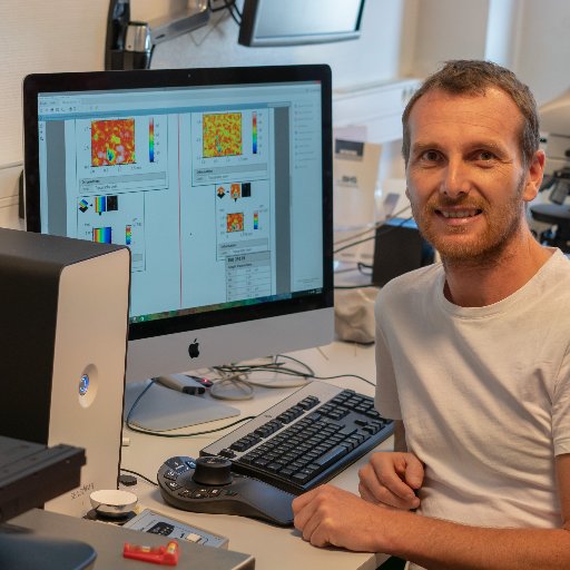
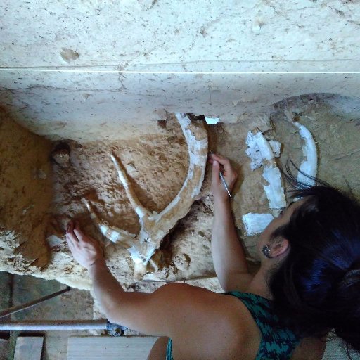
1/n Proud to have finally published this 2018 MSc. thesis by Lila Geis: #PLOSONE: Multiproxy analysis of Upper Palaeolithic lustrous gravels supports their anthropogenic use dx.plos.org/10.1371/journa… #spatialanalysis #roughness #Experimenting #morphology #colorimetry #Xcultural

✅Identify emerging hot spots ✅Explain why spatial trends occur ✅Predict how patterns will change Learn how to do all of the above (and more!) in our 3-day Spatial Analysis with ArcGIS Pro course: esri.social/UnaC50SpzjP @ArcGISPro #SpatialAnalysis #ArcGISPro
It's MOOC opening day! And we couldn't be more excited.🤩 Join the course if you want to build #spatialanalysis skills and get free access to @ArcGISOnline. Register and join → esri.social/mtIx50QtFVR

🌍 Want to unlock the power of spatial data? Join our 1-Day GRASS GIS Course in Bridgend — learn raster & vector, map making, terrain modelling & more with expert hands-on labs. Explore → computertrainingwales.co.uk/courses/comput… #GIS #GrassGIS #SpatialAnalysis #OpenSourceGIS
Unlock the full potential of your spatial data. In this short video, discover intuitive ways to visualize and navigate Map Viewer in ArcGIS Online. Play the video → esri.social/58wV50QO64I #ArcGIS #GIS #SpatialAnalysis

📌 Introduction to Spatial Analysis Spatial analysis is a crucial component of GIS that helps uncover hidden patterns and relationships in geographic data. Let's dive into some key techniques! #GIS #SpatialAnalysis 🌐📊
Our (free) #spatialanalysis MOOC opens in 2 days & WE ARE PUMPED! 🙌 Sign up to join at esri.social/vVeg50Qte1W Already registered? Read this short blog and learn 5 quick tips for an awesome MOOC experience: esri.social/OghV50Qte9x

A great series of #k12 student presentations @esriuc showing us the power of #spatialanalysis, #mapping and what the future of #GIS looks like! @GeneralsPride #ArcGIS #RealWorldGIS #ArcGISPro #inquiry #futuregispros #decisionmakers #problemsolvers

🧬 Exciting New #SpatialAnalysis Tool! 🧬 🚀 Introducing PRISM: A powerful Python package for the interactive and integrated analysis of multiplexed tissue microarrays! biorxiv.org/content/10.110…

Something went wrong.
Something went wrong.
United States Trends
- 1. Texans 38K posts
- 2. World Series 112K posts
- 3. CJ Stroud 6,780 posts
- 4. Blue Jays 97.2K posts
- 5. Mariners 93.4K posts
- 6. Seahawks 36.9K posts
- 7. Springer 68.2K posts
- 8. Nick Caley 2,672 posts
- 9. White House 315K posts
- 10. StandX 4,818 posts
- 11. Dan Wilson 4,337 posts
- 12. LA Knight 8,402 posts
- 13. Nico Collins 2,149 posts
- 14. Dodgers in 5 2,262 posts
- 15. #WWERaw 62K posts
- 16. Kenneth Walker 2,593 posts
- 17. Bazardo 3,203 posts
- 18. Demeco 1,828 posts
- 19. Sanae Takaichi 38.5K posts
- 20. Sam Darnold 4,376 posts